Whites Creek (Lower)
| Stretch: | Possum Trot Rd to Highway 27 |
| Difficulty: | Class III (IV at high water) |
| Distance: | 5.5 miles (2.7 before Piney Creek and 2.8 below Piney Creek) |
| Flows: | 1' to 8' on the take-out gauge (7' was very high and likely 10,000 cfs or so at take-out). We had +6' on the put-in gauge. |
| Gradient: | 58 fpm before Piney Creek, 26 fpm after |
| Put-in: | Possum Trot Rd Bridge |
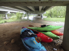
| Take-out: | Under Highway 27 via upstream river left access road |
| Shuttle: | 2.3 miles (10 minutes one-way) |
| Season: | Winter/Spring from rain... |
| Written: | © 2017 |
The previous day I had driven to the plateau with hopes of doing Cane Creek. That day, as we drove, a wave of rain hit that was not in the forecast. We checked the take-out gauge and found a maximum recommended level. We geared up with hopes the bubble was passing. Before departing the take-out I checked again to find it a foot hire. So we diverted.
The following day, knowing that things were all going to be through the roof as a full day and night of unanticipated rain had hit, we made plans for the creek that you can go to whenever things get really high... Whites Creek.
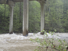
Our friend, John Trembly's dad lives near take-out and was able to check the gauge for us as we departed Knoxville, a nice 3.75' which would mean we could do the upper and lower. Arriving at take-out we found flow to be closer to 6' and we began to waver on the upper. With our best optimism, we drove to the top to check out how the river looked at the top, and found a tight creek with a lot of wood, and that is just what we saw from the bridge. So we decided to just focus on the bottom miles.
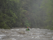
The run was seriously fun at the high flows (when we got to take-out it was 7' and still rising, by the time we undid our shuttle it was at least 8' but hard to tell precisely since the gauge stops at 7). I would say it was only class IV... but it was big water. A swim could easily be fatal due to flush drowning... so don't let the class IV rating fool you. Do not go here at these flows if there is any chance you will swim.
Half way down the run Piney Creek (known as Tiny Piney) enters and doubles the river. Below the rapids mellowed out and the remaining miles fly by.
At normal flows the run is reported to be one of the best surfing runs in the South East as well as generally class III. Maybe one of these days I will see it again at a more reasonable flow.
Reading American Whitewater, there are a lot of rapids with names on this run... they were all under water for us. So I am sure this write-up is a little useless for the average user. But... if you find yourself in a wealth of water and want to look for something fun that can take a crap ton of water... look here. We had about 6" of rain in that 30 hour span for reference. Typically it only takes 1-2" to get it running.
Mi 0.0: Mi 0.3:
- Left Turn (IV-). The first hard left turn has a dangerous looking right wall. Just hug the inside.
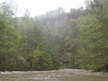
Boogie (III). This section was just non-stop waves. No real holes to speak of other than on the outside of turns... so always stay to the inside and away from the walls on turns.
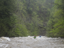
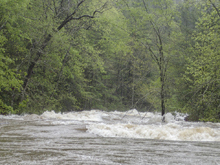
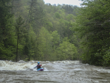
- Big Section (IV). After a lot of waves and boogie, we took another left turn and were surprised to see really the only must make moves of the run at this flow. You would not want to be in the middle as there were two huge holes one after the other. We went far left around the first one and then cut back to the middle directly behind it to avoid the second one which was more on the left side of the river.
- Piney Creek (AKA Tiny Piney) enters on the left. It approximately doubled the flow making the river very big below here.
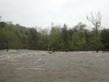
- Surf City (III). Directly below is what is called Surf City. For us it was humongous waves. Normally they are more normal sized.
Boogie continues, careful as the flow braids, and soon you get to take-out just after the railroad bridge is overhead.
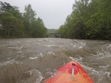
Take-out: From highway 40, take highway 27 South through Cardiff towards Spring City. After 12.8 miles look for a small frontage road on your right, just before you cross the river. This will lead you to parking under the bridge.
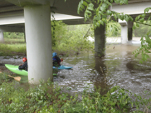
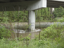
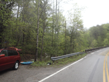
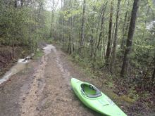
Put-in: Continue South on Highway 27 for 9.8 miles. On the far side of Spring City, turn left onto TN-68 which then heads back North. After 4.9 miles take a right onto Possum Trot Rd. Continue for 5.1 miles to where the road crosses the river. There is parking on the far side of the bridge.
HTML Comment Box is loading comments...

