White Oak Creek (BSF Tributary)
| Stretch: | TN-52 to Burnt Mill Bridge |
| Difficulty: | Class II (III-) |
| Distance: | 11.4 miles (5.6 of which on Clear Fork) |
| Flows: | ~500 to ?,000 on the Clear Fork gauge. Check American Whitewater's gauge |
| Gradient: | 5.5 fpm on White Oak, the final mile is the steepest. 21 fpm on Clear Fork. |
| Put-in: | Highway 52 Bridge |
| Take-out: | Burnt Mill Bridge |
| Shuttle: | 11.3 miles (20 minutes one-way). The last half mile is on good dirt road |
| Season: | Winter/Spring from rain |
| Written: | © 2017 |
Diane's mom came to visit, and one added benefit from that, is that I tend to get sections of river that I normally wouldn't prioritize. Not that class II isn't worth it, but with limited days to kayak around my work and travel schedule, I do tend to prioritize class III or above as I personally find them more fun. This run was recommended by Jim who stated that the scenery on it was some of the best on the plateau, a sentiment that was also shared by Kirk.
The trip ended up being really nice. The group consisted of Diane, her mom, and I, as well as our friend Laura Eddlemon. The run starts with a little flat water before getting into the Class II which is consistent among the nice plateau walls that line the river. There are many caves formed by deep undercuts, which are a blast to paddle back under. After 5 miles you get to the hardest section, as the creek makes a final push to the confluence with Clear Fork. Two standout rapids will keep you on your toes in this section. Then you will hit the confluence with Clear Fork. From there many more class II rapids come at you, several with epic play spots, until finally the canyon walls pull back and you are greeted with a few flat straight-aways before you reach the take-out. The end certainly begins to drag on a little, but I think I also found that because 1) my ass was asleep and needed to be stretched 2) I blew my knee the previous week and it hurt in the boat and 3) I had to pee super bad so the end couldn't come quick enough!
The river is certainly worth doing though, no matter your skill level. The scenery was quite nice and lasted the whole creek and most of the Clear Fork. Plus, the user friendly nature of the class II means that you can take beginners down this with little worry. So, if you find yourself looking for a new run, look here. It will be worth it.
Mi 0.0-2.5:
- The river begins with flat water. As you finish rounding the horseshoe bend it starts getting more gradient and the class II rapids begin.
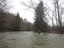
- Boogie (II). Class II rapids approach at a consistent pace. Mind the walls in the rapids as many of the walls are undercut.
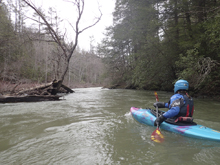
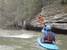
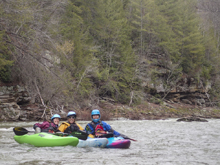
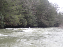
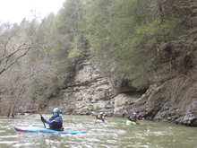
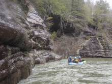
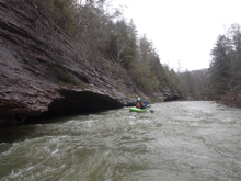
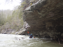
- Slide (II++). It is straight forward, but if you were to venture into the middle mistakenly it would be tough for a class II boater. The rapid is a river-wide slide. The line is far left down the slide and then work right away from the wall. We actually eyed a fun thread the needle tongue down right of center but just then a tree wedged in the middle of that line closing it off so we headed left.
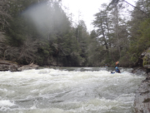
A little more boogie
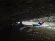
- Class III- (II++ to III-). The biggest rapid of the run is obvious from above and drops a few feet. There was a straight forward line down the left moving back right, or there was a line through a small hole on the right. It was also a good ender spot. There were several fun attainments in this rapid too.
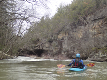
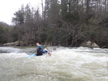
A few more boogie rapids...
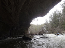
- Clear Fork comes in on the left, more than doubling the flow.
Boogie (II). There are several fun class II rapids through the first few miles of this section. All were read and run, a few had some really nice play holes or waves in them. A playboat would have been great here! However, there are some stints downstream of very flat water.
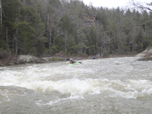
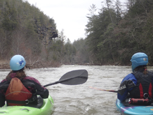
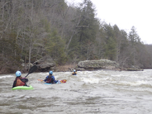
- Mostly flat water.
- Mostly flat water with only one little break in it. Man I had to pee so I crushed through this section pretty fast!
Take-out: From Huntsville TN, take 297 West for 2.8 miles to US-27, turn left to head south. Follow Highway 27 for 3.2 miles and once you cross the New River, take the first right on Old Highway 27 (there is a River Access sign here). Follow it for 1.4 miles and make a quick jog right on Mountain View Rd which then immediately jogs back left. Continue for 2.3 miles and turn right (also a River Access sign here) at the 4 way intersection onto W Robbins Rd. In half a mile, turn left on Honey Creek Loop Rd and follow this quickly down to the water. Parking is on the far side.
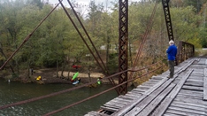
Put-in: Head back up the dirt road the way you came, back out to W Robbin Rd. Continue on this for 3.4 miles to the T at TN-52. Turn right and continue for 5.0 miles. Highway 52 goes 3 directions here, it is weird. Before crossing White Oak Creek, turn right toward the town of Rugby. This officially is part of TN-52 but it is very weird. After another 0.2 miles you will cross the creek. There is parking just past the creek on the left.
HTML Comment Box is loading comments...
