West Fork of the Walker River (Upper)
| Stretch: | Leavitt Station Trailhead to Pickel Meadow |
| Difficulty: | Class IV to V |
| Distance: | 2.0 mile |
| Flows: | 300 to 600 cfs. Current Dreamflows gauge |
| Gradient: | 176 fpm average (but the hard section is 363 fpm for 0.5 miles) |
| Put-in: | Leavitt Station Trailhead |
| Take-out: | Pickel Meadow |
| Shuttle: | 2.0 miles (5 minutes) |
| Season: | Spring from snowmelt |
| Written: | © 2013 |
| Featured in A Wet State's contribution to World Kayak's Video Guide | |
A few years ago when I ran the lower West Walker I began to wonder about the Upper West Walker. The write-up in the guidebook sounds unappealing at best. Between the talk of unscoutable, no eddies to catch, boulder gardens with several portages that also has claimed a life back in the 90s... it is no surprise that I was unable to find a single person who had actually kayaked this section in the past 15 years. For that matter, it took me several years to even find a person who would be willing to try it out with me.
Which brings me to my major take away for anyone trying to talk their friends into boating an obscure run that is rumored to suck. Find out of state friends that do not own the guidebook. They will come along with any horrible idea! (Thanks Emily and Paul!!!). But what we found, was anything but horrible. Between the classic scenery, pristine water quality, and challenging whitewater, we all were all pleasantly surprised by the run and hope that it will be boated more often now that the myth has been broken.
We found the gorge to not be 2.3 miles long. The run was about that long. But the gorge itself was only 0.5 miles long. In the gorge it was tight and eddies were not plentiful, though by the modern day standard it was not unruly. We did however scout from the rim prior to dropping in. This is highly recommended just in case you blow by the one eddy between each rapid. Also, a few rapids did have trees or mank to contend with. The first 3 rapids are the most continuous though with a small group, boat scoutable (but I still recommend a rim scout). The bottom rapids were all easy to scout at river level and the continuous nature let up a step.
The rapids themselves were a mix of clean(ish) bedrock or channelized boulder gardens with one or two landslide messes thrown in (again, the two portages I made). There was also one mandatory rapid that was a little manky but had several lines and smaller consequences so it wasn't too big of a deal. After the gorge turned into continuous class III with an occasional log to avoid.
So with that, is this run classic... No. Is it worth boating... absolutely. We did it in conjunction with the Middle Stanislaus the following day as they are only a half hour apart. And that half hour is on one of the most scenic sections of road in California, Sonora Pass on Highway 108. This provided us with two days of boating on different rivers with completely different scenery and made the 3.5 hour drive from Sacramento much more bearable. So if you find yourself on the East side of the Sierra keep this run in mind.
Finally, we had a diurnal of 415/380 and thought it was a optimum first time flow. A friend, Kevin Smith, went in a week later and half 600/500 and reported it still to be good. I imagine the mank rapids cleaned up with more water. And if the water was any lower it would likely make an additional rapid or two a little manky. To scout from gorge prior to dropping in, there is a turnout a few hundred yards downstream from the put-in on Highway 108. From there, there is a trail down to the gorge rim. The walk to the rim takes only 5 minutes. Then you can traverse the rim to scout all but the last rapid in an additional 5-10 minutes. 15 minutes well spent for peace of mind of the wood situation and general knowledge of the lines.
Thanks to Ben Carter for his contribution of photos.
Mi 0.25:
- Gorge Entry (IV-). Straight forward rapid that we ran down the right.
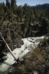
Two Part rapid (IV to IV+). The first tier was down the middle with the exit on the left. The exit was a pinch with a small hydraulic. There were small eddies on the left and one larger one immediately on the right before the next rapid. There was also a last minute eddy on the left at the top of the next rapid.
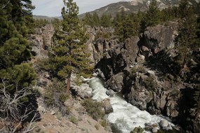
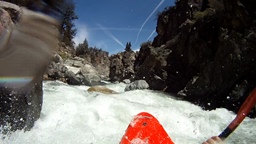
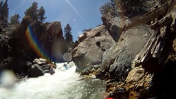
Diagonal Death (V). A shelf with large hydraulic on the left and slide into the wall on the right can be run middle boofing into the outflow. 20 feet later the river drops over another cascade maybe 6 feet tall. Luckily there was no hole at the base. Eddy out immediately below on the right.
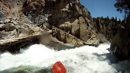
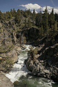
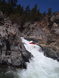
Log Dodge (IV+). The next rapid was straight forward but had a log to avoid. We ran the left channel moving hard left, boofing the mid stream rock landing pointing left to avoid a log extending into the river. From there the run out was class III/IV leading to an eddy on the right to scout/portage the next drop. One member of our group got pushed against the tree and ended up on the right. There was a manky channel he was able to run to get through the exit.
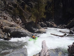
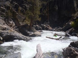
Possible Portage (V). A super manky rapid with a log extending into the middle looked to be best run on the far left. One member of our group ran it center moving left. The log on was on the right and very much in play. The exit was a sieve pile on the right and log blocked channel on the left. The one person in our group that ran the drop exited on the left, over the one spot on the log that you could scrape over. Scout thoroughly before running. The rest of us portaged on the right and slid back in on the right at the very bottom.
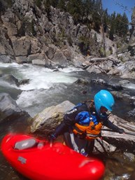
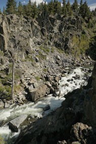
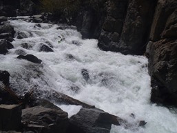
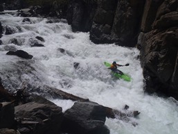
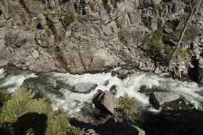
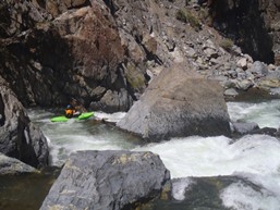
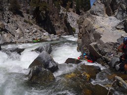
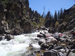
Mandatory Junky One (IV+). You can scout easily on the left before dropping in, but portaging would be hard without getting up to the rim wall. Enter middle and move hard left. Three of the four of us tripped on a rock near the top and go pushed right into a more junky channel, but we all kept it upright.
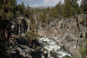
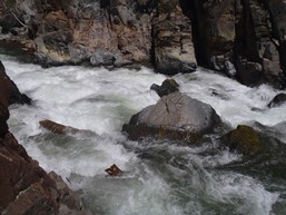
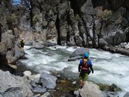
Sweet Boof (IV). A straight forward boof after a slide that can be scouted on either side. Run down the left and boof middle.
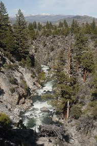
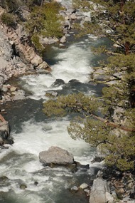
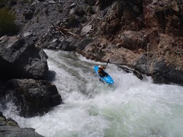
In Between (IV). Two rapids come in quick secession, the first can be run down the middle or down the right. The right had a decent hold though. The middle was just a two small drop sequence. The second rapid was just boogie that we ran down the middle. It leads directly to the top of the biggest rapid of the run. Catch the large eddy at the lip on the right.
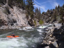
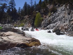
Gasmic Staircase (V+). This is a big and dangerous rapid (and I am not sure if it is the one referred to in S/H with this name, but it is a good name so I will carry it over regardless). The lead in was boulder chocked with one log forcing you towards the center, where the river split and the left would end badly. The right went down a steep cascade with a log sticking straight out and upriver if you got pushed too far right. It then flattended for 10 feet before dropping into a twisting hole that was recirculating from 10 feet down river. We set safety in the boulder choke and at the bottom hole and Paul styled all of it. The rest of us walked easily on the right.
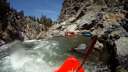
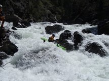
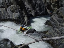
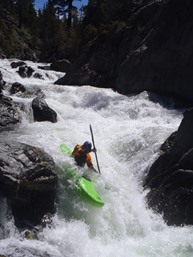
- Boogie Out (III/IV). The run continues with nondescript rapids. Be on your toes for wood as there were a handful of logs in this portion. The boogie continues right up to take-out.
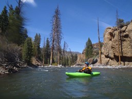
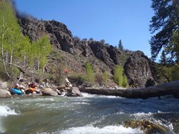
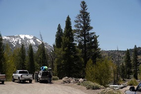
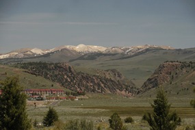
Take-out: From the Highway 108 and Highway 395 junction on the east side of the Sierra (17 miles outside of Bridgeport... the town with some sweet hot springs), take Highway 108 West towards Sonora. In 5.2 miles, at the top side of the large valley/meadow there is a turn to a dirt road that was some sort of reserve... there is a parking lot at the river down 100 yards. The river looks low here, but you want that.
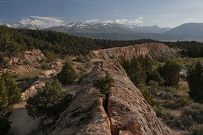
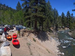
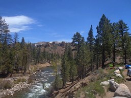
Put-in: Continue up highway 108 for 1.9 miles to the trailhead parking just past the campground. It is super obvious as soon as you drop back down to the river level. Park here and put on. 0.3 miles back down the highway is a turnout on the right that has a trail that leads you down to scout the gorge.
HTML Comment Box is loading comments...
