West Branch of the Penobscot River (Rip Gorge)
| Stretch: | McKay Station to Access below Big Eddy Campground |
| Difficulty: | Class IV to IV+ |
| Distance: | 1.75 miles |
| Flows: | ~1,000 to 4,000? cfs. Current Brookfield forecast and flow |
| Gradient: | 67 fpm average |
| Put-in: | Access at McKay Station Powerhouse |
| Take-out: | Access below Big Eddy Campground |
| Shuttle: | 1.5 miles, (3 minutes one-way) |
| Season: | Year-round dam release! |
| Written: | © 2021 |
-
North East Road Trip 2021: Day 2
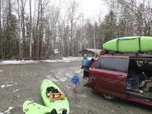
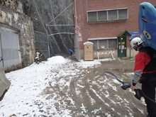
The drive from Kennebec during the summer, using dirt roads is about 2 hrs. I guess it could be faster if speed back there. Google tried to tell us to go that way but with snow pouring down I thought better of it and drove paved roads the long way. With our slow speeds until the snow let up, it took over 3.5 hrs. But we got there with plenty to get some boating in.
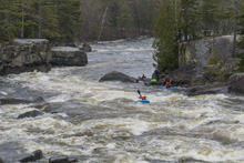
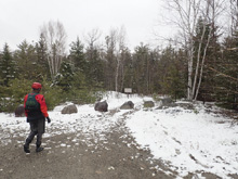
At put-in, we met some other boaters braving the cold and snow and quickly they invited us to join them for a lap. It also was nice because they showed us where we could peer into the gorge proper which in addition to just being a spectacular view and worth the 100 foot easy walk, but also gave us insight into the rapids which are hard to scout from river level.
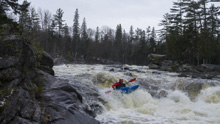
Putting on you paddle directly into the gorge which although everyone rates these two rapids as easier than Cribs, I personally found them harder. Several very powerful holes, and a lot of water (2,800 cfs) pinched between tight walls create powerful eddies and boils which I think would give the lower end boaters more problems than Cribs. Cribs has some nastier spots, for sure more consequential, but overall I found the rapid to be much easier. Anyways, after the Gorge you have the Heater rapids (either side of an island), and then the river opens up and is much mellower down to Cribs. When you see the bridge, pass under it and scout this long rapid with several rocky places to end up if you are too far off line. Downstream, one more rapid awaits and then you float to take-out.
Some people continue for up to 10 more miles, to paddle the occasional class III and IV rapid, but it is a total of like 4 more rapids with some long flat sections between, so most commonly people just do these short laps.

Mi 0.15:
- Exterminator (IV to IV+). No warm up on this one! Once you paddle across the dam outflow you are quickly taken to the top of this rapid. There are eddies high on the right that you can get a general lay of the land from, or one on the left that is harder to catch and makes running the rapid harder due to peeling out with the wrong momentum. My suggestion is scout before putting on while walking down to put in and then stage in the right eddy. The line is to be down the middle, moving left. The hole on the right half of the river is Exterminator. There are guard horizontals that you have to punch to get to the window on the left side of the hole where a seam exists. If you do it right your head stays dry. If you get pushed right, you will be endered. Swimming here would stink as just below is.
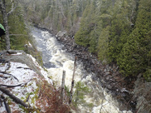
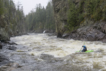
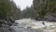
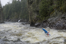
Staircase (IV- to IV). The runout of Exterminator is sizable in its own regard. There is a very big pourover far river left, don't go there. The line is left of center (to the left of the top rocks/holes) moving back center to the ramp. I actually am not sure what is far right. But the rocks and holes are enough to make me shudder at the though of swimming out of Exterminator into this one. For me, the pair earn a class IV+ rating overall. Very pushy, very boily, and lines that need to be hit.
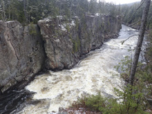
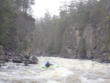
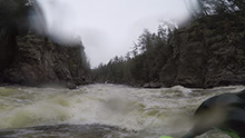
- Heaters (III). An island splits the river. Little Heater is the small right channel which drops in a tight spot between walls and can be run any number of ways. The corridor is a little squirrelly but realistically there is no danger. The Big Heater is the left large channel. I did not run that side but it drops in two steps and is easier. Most go for Little Heater.
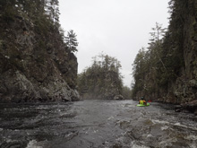
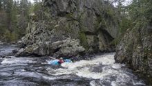
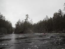
- Surf Waves (III). A nice rapid chalked full of nice surf waves. We ran generally right of center but it is read and run.
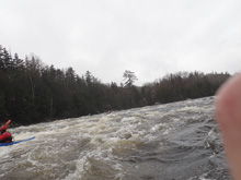
- Ledge (III). Another nice rapid with surf waves ends in a bit of a ledge right of center, you can punch it or go a bit more left.
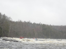
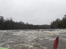
- Telos (II+ to III-). The river does an s-turn just above the Telos Bridge. You can hug the right shore with the main channel, or some ledge lines exist if you go on the left.
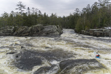
- Cribs (IV+ to V-). Man I can't believe I am caving and giving this a V rating. Even with "-" I feel like it is underserved at this rivers normal flows. There are consequences, don't get me wrong, you don't want to be anywhere on the left half of the main channel. But dang the line is so mellow when it goes well. I just feel like for experienced paddlers it feels like IV+. But for many class IV boaters this is probably their first V and it feels very V and I will catch a load of grief for saying anything less. So, pass under the bridge and scout on the left. Running pretty far left at the entrance brings you down through a small ledge that you want to punch. You then want to line up the main slot "Turkey Chute." This main slot is the make or break moment for the rapid. The eddy on the right side of it is strong and could easily catch your edge if you aren't prepared for it. I found that by running left to right across the lower portion of Turkey Chute allowed me to get my nose onto the right eddy line and just accelerated me to the right, just where I wanted to be. Below Turkey Chute you want to be right to line up the Final Chute which is a tall non-vertical drop that as long as you are there, has minimal consequence. The consequence comes from being pushed left at any point of the rapid as it is just full of rocks top to bottom, and there is for sure water pushing you that way if you aren't in control. But I honestly feel that it is less pushy and easier to nail than the first gorge.
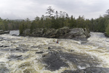
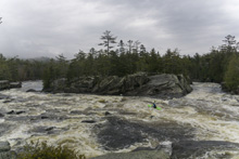
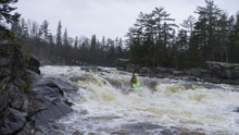

- Last Rapid (III-). One last little rapid does have a meaty hole 10 feet off the right shore. Easy to avoid anywhere else.
Take-out: From Millinocket, take Millinocket Rd north west. After 7.3 miles it will turn into Baxter Park Rd. If it is summer this road will stay open, otherwise you need to jog over to the parallel dirt Golden Rd (good quality dirt). In about 17 miles you will get to Abol Bridge which crosses the river and has a camp store. Continue for 9 more miles to the access immediately downstream from Big Eddy Campground.
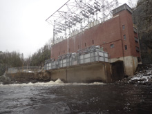
Put-in: An easy shuttle, just continue up the road heading upriver for 1.5 more miles before turning right towards the powerhouse and parking quickly on the left. You then walk through the gate, halfway down the hill in an obvious spot is the short trail to view into Rip Gorge, continue down the hill and walk to the left of the powerhouse along the wall and around to the upstream side of the powerhouse to access the river.
HTML Comment Box is loading comments...
