West Prong of the Little Pigeon River (Upper)
| Stretch: | Chimneys Trail Head to Chimney's Picnic Area |
| Difficulty: | Class V |
| Distance: | 1.8 miles |
| Flows: | ~0.9 to 1.8 or so (0.9 was definitely low... ). The gauge is on the downstream side of the take-out bridge. Doesn't take a whole lot of rain(1-2 inches), but drops out quickly, especially in the summer. |
| Gradient: | 390 fpm (there is a quarter mile section of 523 fpm) |
| Put-in: | Chimneys Trail Head off of Highway 411 |
| Take-out: | Chimney's Picnic Area / Bridge on Highway 411 |
| Shuttle: | 2.0 miles (5 minutes one-way) |
| Season: | Winter/Spring from rain... Occasionally off of Summer thunderstorms |
| Written: | © 2015 |
Last summer when we moved out to Knoxville, I was blessed with ignorance. Although thanks to friends highly recommending the West Prong, I did not know it by detail or by reputation. It wasn't until after I did the Lower the second weekend I lived here that my friend Laura Farrell told me that it has a reputation of being every bit as hard as Ravens, Toxaway, and Linville. Now I still have two of those three on my list... but that was a surprise to me. If I had known it was held with such regard as those others I would have been more nervous! This year, thanks to another summer thunderstorm, I once again got the chance to boat the West Prong. This time however, the water did not hold high enough to allow for a full top to bottom run, as the lower was too low by the time the after work warriors made the drive past Gatlinburg. Instead we found low flow, and that meant the Upper would be the only option. This was fine by me as I had yet to do the Upper. However, this time I also did not have the ignorance to avoid the nervousness I was lucky to avoid last summer.
Putting on, Jim boat scouted us down the river, catching eddies, running drops, all of which had enough water despite the low flow but also never felt pushy which honestly was probably nice for a first time. Before long, we found ourselves above Picture Perfect AKA Decision. From there, the river seemed to plummet down a cascade of surprisingly runnable whitewater that accelerated down river as if there was a vacuum line connected to the outflow. Just below you get to the biggest and meanest rapid on the run, Dinosaur. Just downstream you boof a narrow slot on the right, this leads to several more drops and to Metal Box. Without sufficient water, this one was a portage for us. A tiny entrance into a junky exit. Just needed more water. Downstream more boofs engage you until you find yourself at the top of the final big rapid, Big Tree. Once below there, you enter the picnic area section and non-stop action to the bridge. Due to wood down in this section, we decided to hit the trail halfway down the picnic area and called it a day... this is not uncommon. In total, the run averages some 390 fpm... and maxes out at 523 fpm for the section between Picture Perfect and Big Tree. But honestly, the whole run feels steeper than the measurements. It is an unrelenting ride that should be approached with caution, with safety in mind, and a fearless heart. But the reward is worth it!
We had ~1.0 ft on the take-out gauge. For the Upper this was sufficient. Low, but sufficient. It could probably even go a smidge lower... but quickly that would turn to crap. For now, I will look forward nervously to when I get to link this up with the Lower... and perhaps add the Alum Cave section as well as the Lower of the Lower. We will see... maybe it will be another year until runs.
Mi 0.0:
- The action starts immediately below put-in and is unrelenting until take-out. This means that of course not all the rapids are going to be listed. Here are a few highlights though. Be on your toes for wood. The run is very much class V even though I only have a handful of V listed here. It is non-stop action. Bring you're A-Game and your elbow guards!
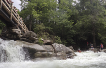
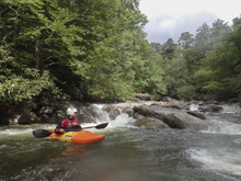
Ledges (IV+). Directly below put in are some fun ledges that we ran down the middle.
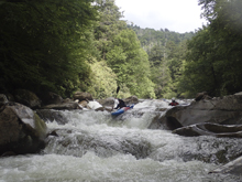
Be on Your Toes for Wood (?). Just an overall warning, be on your toes...
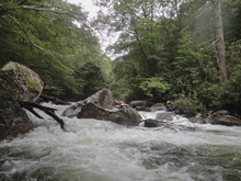
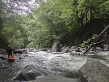
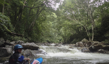
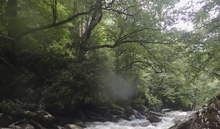
Above Decision (IV+). Above decision there was a rapid that we ran from the left shore boofing over a hole and around a rock. This led quickly to the top of Decision as I recall.
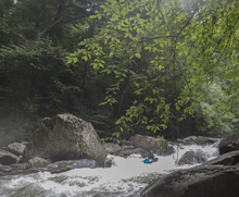
- Decision AKA Picture Perfect Boof (V). At our flow we ran the center channel, which has a curler coming off a "boof" that then melts back down into a cauldron. You want to keep your bow pointing left to pop out. Below, the river constricts and there are lots of waves and pockets to ricochet down but they all go straight down the middle.
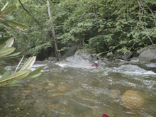
Exit (IV). The exit of Decision is a uniform ledge, you want to boof it left of center. Right there is a pocket and far left is meaty.
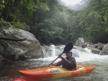
Dinosaur (V). The above boof is directly above the biggest rapid of the run. This rapid has multiple holes in the lead in, some choose to walk these holes as they lead to a big final drop. The final drop you want to be far right on, the left melts off into a punch and deep hole. The middle is backed up by a rock. At low flows the current pushes you left, at high flow you can go over a guard rock just above it making getting right easier. Some choose to put in just above the crux move making it more doable regardless of the flow.
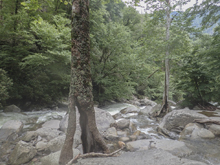
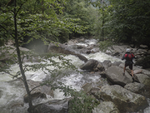
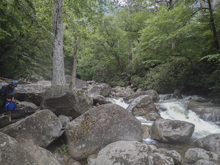
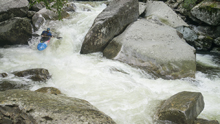
Boof (IV+). Just downstream is a tall boof that you want to hit far right, like a small micro channel far right. Check for wood. As soon as you land there is a sizable hole and the remnants of a tree that Jim Janney cut out that had caused some issues in the past. Another rapid is just below, we went far left, but I don't recall the specifics.
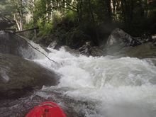
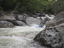
Metal Box (V). This rapid is junky and ugly! In the top eddy, on the left shore there is a metal box... you know you are here. Enter far left in a micro channel to boof down 6 feet. Then reenter the current stay center. The rapid crashes through a rock pile and clean lines look difficult to come by. At our low flow, we walked this rapid as the top and bottom were borderline. Walking on the left getting back in was delicate and involved seal launching awkwardly back into a small off shoot channel on the left.
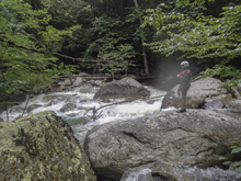
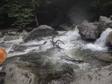
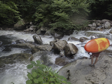
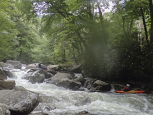
Big Tree (V). We walked the lead in due to wood. The bottom two thirds though we were able to run. Scout those sections from the lip on the right, if it is high you may not be able to get out there though. The line was to drop over a double tiered drop that is maybe 12 feet tall in total, in the far right of the river, under an overhanging tree. The first part drops 4-5 feet onto a shelf and immediately off the remaining 7-8 feet into a caldron that flushes out. The exit needs to be run with left momentum as most of the water falls off to the right and directly into a rock. It is also about 7 feet tall or so... so drive left and be left, more importantly is to be left.
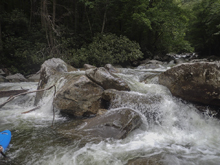
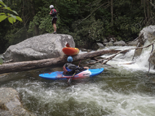
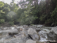
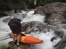
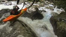
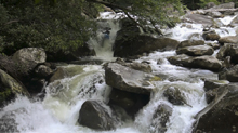
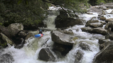
- Picnic Area (V- to V). The bottom half mile of the run is one non-stop, occasionally wood laden, rapid that is not overly big but is very busy and has a few spots to avoid. Once the wood or hassle factor get overwhelming, the picnic area offers you a nice paved road to exit the river and follow down to the car. The rapids are non-descript in this section and not overly fun in my mind, unless those in the upper non-descript section above the big drops.
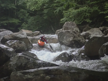
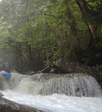
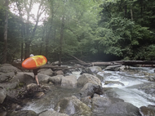
Take-out: From Gatlinburg, take Highway 441 south for 6.2 miles. Just before the road hair turns to the left and crosses the river, enter the picnic area to the right and park. The gauge is on the downstream side of the bridge.
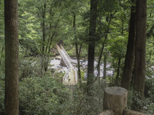
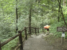
Put-in: Continue for 2.4 miles to the Chimney Tops Trail Trailhead. Parking is on the right in the cemented lot. It can be crowded.
HTML Comment Box is loading comments...
