West Branch of the Feather River (Naked Lady)
| Stretch: | Jordan Hill Road to Dean Road |
| Difficulty: | Class IV-IV+ |
| Distance: | 3.3 miles |
| Flows: | 300-1500 cfs Current Dreamflows gauge |
| Gradient: | 64 fpm |
| Put-in: | Jordan Hill Road Bridge |
| Take-out: | Trail leading to Dean Road |
| Shuttle: | ~6 miles, 20 minutes one-way |
| Season: | Winter and Spring, rain and snowmelt |
| Written: | © 2009 |
So first let me get down to business before I talk about the run. Stanley/Holbek give this a "IV to V" rating, I can easily imagine this at flows over 1000 or ss (estimate since so far I have only done it once). We had 645 cfs at put in and we found the rapid to be general long class III rapids leading to a class IV rating. There are three rapids that stand out as harder and also have more of their own character. At our flows the first two were easy IV+, and the last was more of a V-. I can imagine that as the lows go up, the holes become much stouter and the sieves approach you quicker than you would prefer. So although I think a class IV boater could enjoy this run with a portage or two at low water, I am going to say try to avoid it at the higher flows unless you are interested in that type of action. I would imagine the run would be fun with more water, and I have heard that 800 cfs or so is optimal.
Ok, so now that most people have already decided to not read anymore of my blabbering and instead just look for the pictures below, I will talk about the river a little. I have wanted to get on this river ever since my first run down a class IV-V river. I remember scouring Stanly/Holbek for more runs to excite my adrenaline glands with. However, due to the fact that until 2008 there was no gauge posting (at least not on dreamflows) I never had the opportunity to get on this run. I always thought it was a bit far to drive to be skunked. Now to take a side trip on this discussion, it only took 2 hours to reach take-out from Sacramento, a lot shorter then I expected. Ok, back to the topic. So this February has been torture for those of us who work mid week, it seems the last 3 weekends have dumped rain on Sunday and Monday resulting in perfect flows all week, where they then drop out in time for the weekend warriors such as myself. With growing frustration at this trend, I saw the flows of the West Branch come up and take longer than the rest of the drainages to fall back down. On Friday I realized that going to bed with the flow at 770, there would indeed be water the following day. I quickly put together a group, all of whom were equally as frustrated and made plans to meet at 7:30.
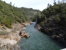
Once at the river, I realized my vision of the scenery was completely wrong. I am not even going to explain what the vision was because I have no idea where that idea came from. But the river was in a beautiful steep canyon, full of green trees (except those brown ones who were burned this summer), ever changing rock formations, and crystal clear water. And to boot, it was warm as heck. Who frets when the one layer they are wearing during winter boating ends up being too much?!?! Man that was nice. Anyways, we took our time going down the river. None of us had done the run before, so we figured take our time, scout as much as need be, and take as many photos as possible. Even with the leisurely pace we took of an hour and a half after putting on. We hopped out for photos 3 times. We scouted those three times and didn't find any other needs to. In the future I would be very tempted to plan on doing a second lap as I am sure a second run could be completed in 45 minutes easily.
A couple more things. Thanks to Diane Gaydos and Steve Schmitt for sharing some of their photos with me. Also, thanks to Dave Stiendorf for helping me with the rapid names (Let's Make a Deal," "Tolken Eddy," "Stop, Drop and Roll," and "Bullet") as well as for the Naked Lady Photo.
Mi:0
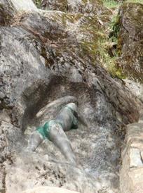
- This run gets its name from a carving of a Naked Lady that you will find just down from put in on your right. We missed it, but Dave was nice enough to pass along this photo: Vandals added clothes
Junky (III-). The first left turn brings the first junky rapid. It looks steep from above, but it goes, just brace for rocks.
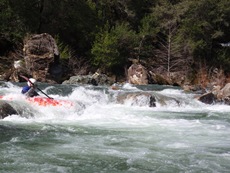
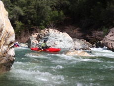
First Sieve (II+). At our flows, the rock pile was easy to avoid, but as flows come up I imagine the sieve is more in play.
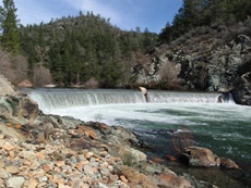
- Dam (P). After a short stretch of flat water you notice stairs leading up to your right. This is the low head dam. The tow back was fairly large and all of us chickened out. There looked to be a clean slide on the far left, but we didn't see that until we had already completed walking around the thing.
Several long read and run rapids lead to the first horizon line of note.
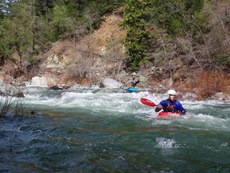
Lets Make a Deal (IV-). A horizon line with several options presents itself. You can boat scout from very low on the left. We ran a left ramp line and then ran the run-out.
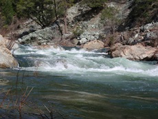
Token Eddy (IV). We scouted and took photos from the left. There was a nice ramp down the middle into the hole. Below was another sizable hole that I imagine gets worse with water. There was also just enough water to boof the left. This may be a good line with flows increase. At some flows, there is a mid rapid eddy that you get a token for catching.
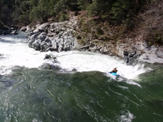
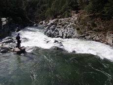
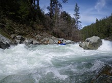
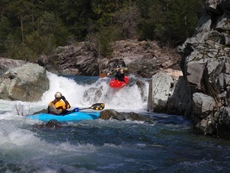
- Stop, Drop, And Roll (IV+). This was a great rapid. I looks intimidating from above and while scouting it. The idea was to exit in the middle channel as left and right were full of sieves (called the Tunnel of Love). We chose to enter the ramp on the left and hit the pillow/off-angled-feature and slide off into the hole below. All of us had smiles on our faces after this one.
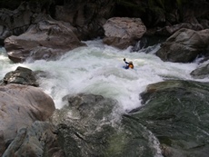
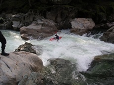
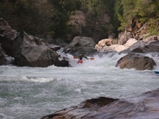
Bullet (V-). Steve eddied out on the right, hoped out and had a concerned look on his face. The rest of us hoped out on the left and saw why he was concerned. The right side had a sizable hole or two which then pushed you into a rock fence. There was a nice boof center left (which the person who scouted that portion deemed not good at the time... don't ask me why, it was perfect. So we snuck down mank on the left for the entrance drop. After the entrance drop, the rapid became big read and run. There were several rocks to avoid, holes to punch, sieves to avoid, and more holes to punch. And of course just when you thought you were done, there was a hold forming off the left wall that was huge and willing to catch the unwary. The end of this drop in itself is probably class IV+ and so depending on where you enter I could see this being up to class V. Finally, it gets its name because on Dave's first decent of the river, not because he loves Steve McQueen, but because he was shot at. It hasn't happened since, but I thought I would share.
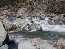
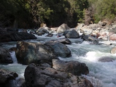
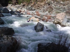
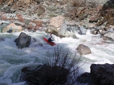
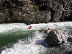
Pour Over to Northing (III). So this rapid is immediately downstream and is actually easy. I only note it because how sticky the damn hole is around the corner. So just below The Big One there is a nice pour over to boof (at high flows of course this would be a massive hole), and then the river turns left and it appears to be a nice class II. Only the river drops into a trough that forms a very sticky hole. That one surprised us significantly.
Rapids ease immediately and the canyon opens up noticeable. Begin to keep an eye out for take-out. Make sure you hike down to take-out before you run it so you have a chance at recognizing it. If you do not scout take-out I can ensure you you will miss it and you will get to run Ben and Jerry's class V goodness down river.
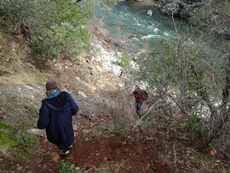
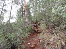
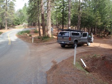
Take-out: From Sacramento, we took Highway 99 north. Once Highway 149 joins you, the next exit is exit 376 (Durham Road). Follow 4.5 miles, turn left on Ca-191 (Clark Road) and follow for 9.9 miles. In town, turn right on Wagstaff Road. At the T 0.5 miles later turn left on Pentz Road. After a half mile turn right on Dean Road and follow 1.4 miles down steeply to the dead end. Park. Follow the trail down, cross the flume. Walk about 100 feet and you will see a trail sloping down to your right. Follow this 100 yards to the water. It is steep and muddy, have fun. Maybe one of the other trails are better...
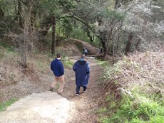
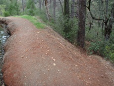
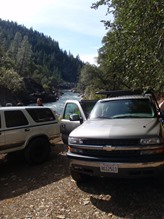
Put-in: Return to Pentz Road and turn right. Follow for a mile. Turn right on Skyway Road and follow of 0.4 miles. Turn right on Coutolenc Road. Continue for 0.5 miles until you see a lard dirt road off to your right. Follow that road (Jordan Hill) downsteeply to the bridge over the river.
View West Branch Feather, Naked Lady in a larger map
HTML Comment Box is loading comments...
