Vecchio (Middle)
| Stretch: | From N193 to D43 |
| Difficulty: | Class IV to IV+ |
| Distance: | 5.8 km |
| Flows: | ~350-1,000 cfs (1.9 at the takeout gauge is ideal, 1.5 was low) |
| Gradient: | 154 fpm average (321 fpm in the middle for less than a mile) |
| Put-in: | Bridge on the old N193 |
| Take-out: | Bridge on the D43 |
| Shuttle: | 9.7 km, all paved |
| Season: | Spring from snowmelt/rain |
| Written: | © 2013 |
| Featured in Video A Wet State #74, Kayak Session's Guide and in A Wet State's contribution to World Kayak's Video Guide | |
And a huge thanks to Prijon for the boats they lent us!


Day 2:
My second day was a repeat for the rest of the group. I don't think I explained this in the first write-up, but due to other obligations I was unable to join the group for the whole trip. The rest of the group got a few days on the Soca in Slovenia prior to heading to Corsica and getting Upper Golo, Calasima, Travo, and Middle Vecchio all (with the exception of the Travo) with healthy water flows. Alas, a week later when I show up, the weather had turned cold and the water level had plummeted. I am not sure what folks consider a minimum flow, but I feel we were pretty close to it.
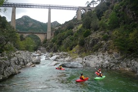
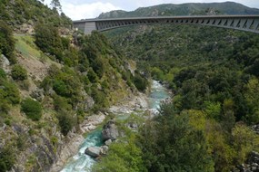
Despite the low water, I still thought the run was fun. It was nice to get a warm up day to figure out the boat a little and to dust off the jet lag. I am not sure if it was due to the cloud cover, but I also found this run to have the least spectacular scenery of the trip. Of course when you are comparing it to some of the most scenic rivers you have ever done, I guess perhaps that is an unfair statement.
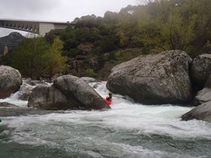
The nature of the river was boulder gardens. With more water I think many of these would have created sweet boofs and nice hydraulics. As it was it turned into a bit of a rock dodging affair which of course in Corsica also means a sieve and undercut dodging affair. Some of our group (me included) took an extra walk or two just to reduce the undercut/sieve interactions for the day. The run was mostly class IV in nature with a handful of exceptions. I imagine though as the water comes up the boulder dodging turns into hole bashing and the difficulty can be raised.
So in parting... perhaps it was the low water, but I would have to say this was my least favorite run that we got on during my eight days. Worth doing for sure, but not over the Golo or Fium Orbo or Codi or...
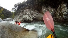
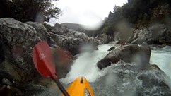
Finally, I apologzie for all of the GoPro and other video captures that I am pawning off as photos here... we tended to go fast on the water (putting on after 4 pm every day) and focused on taking video when we did hop out. Thanks to Darin McQuoid for his contribution of video that I took shots from.
Km 0: Km 0.8:
- Sieve Rapid (IV+). Only class Iv moves, but with a large downstream and in play, it gets some extra rating in my mind. Start down the right and move hard left.
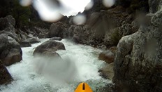
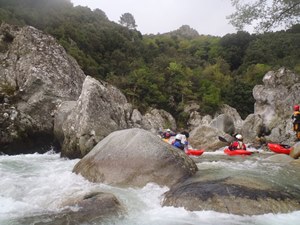
Sweet Boof (IV). Just downstream there is a rapid with a sweet boof in the left channel followed by some boogie down the far left.
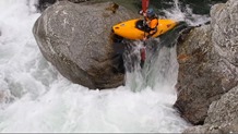
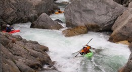
Lots more boogie continues...
- Two Part Rapid (V-). Recognize this one as you have just run a steep distinct rapid down the left before entering a pool. Scout left. The first tier is a short double drop, class III in nature but feeding into two bad undercuts. Set safety. The second tier is a ramp/ledge on the left side of the right channel, drive as far left as possible... the landing is immediately in front of several sieves.
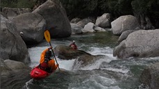
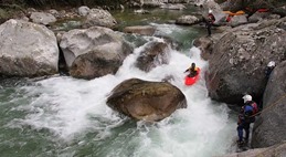
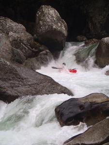
Another Undercut (IV+). Again, not a hard move, but a consequential one. Stay off the left wall in the class III- entry as it is a bad undercut. Run the exit far left. Scout and portage on the right.
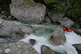
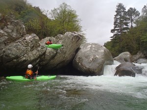
Double Boof (IV). Just downstream is a cool set of boofs on either end of the pool. Both in the left channels.
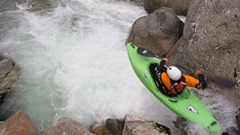
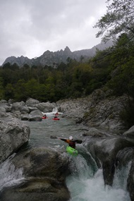
- Big One (V). A long lead in leads to a eight foot ledge. Run down the right channel, boof the ledges in the lead in. There are eddies just above the final move. On the final move, get as far left on the fan as possible as the right melts off into a seam. However there is a guard rock making it difficult to stay left.
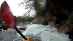
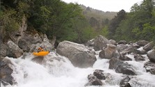
On the Wall (IV+). Downstream a short ways is a tight pinch down the left wall. It has a few small holes and pushes hard against the left wall. Then lands in a short pull, exit on the far right.
Directions: Use the GPS locations to get yourself to put-in and take-out... I wasn't driving most days and do not know enough of the directions to be useful.
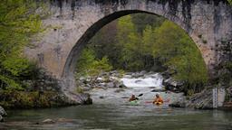
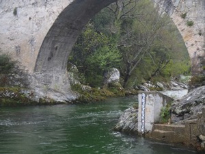
Take-out: Just off of D143 on D43 park, the trail up from the river (and the gauge) at at the bridge on the D43 just 100 feet down the road.
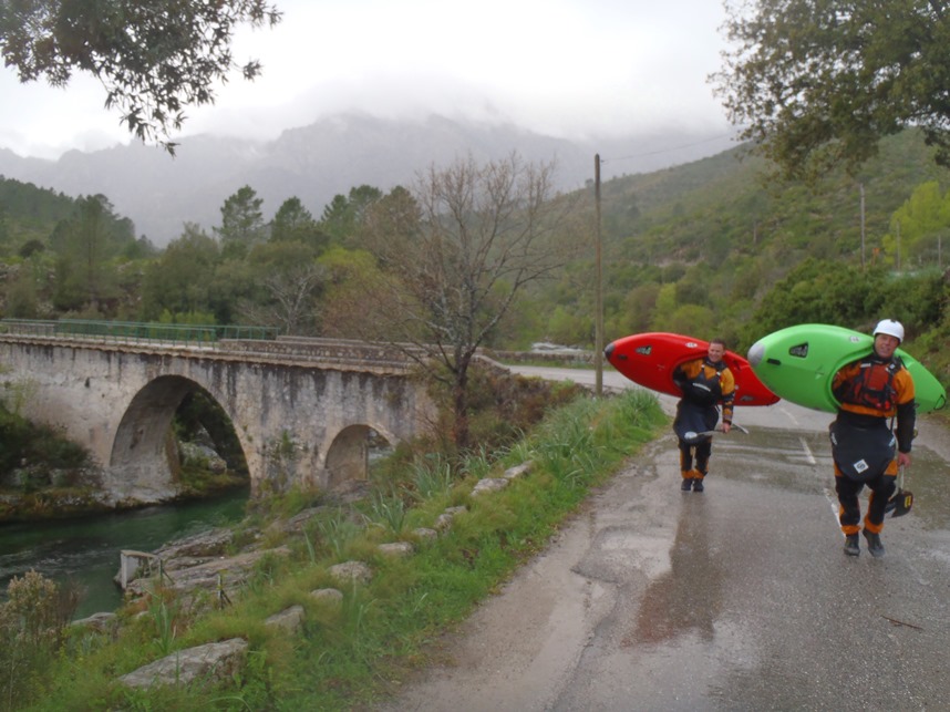
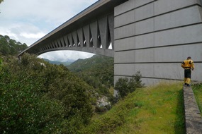
Put-in: On the far side of the first (new bridge) from town you will see a left turn, take it and drop down and park under the new bridge. The trail starts at its base.
HTML Comment Box is loading comments...

