Tysselva
| Stretch: | Bridge to Slides above Tysso |
| Difficulty: | Class IV to IV+ (V) |
| Distance: | 4.5 miles (+0.8 miles of uber gnar if interested) |
| Flows: | 10 to 15 cms |
| Gradient: | 76 fpm (this includes lots of flat ponds that you paddle across) The alternate take-out adds a 850 ft mile at the end |
| Put-in: | Small bridge over the pass. |
| Take-out: | At the top of the slides above Tysso. |
| Shuttle: | 4.2 miles (15 minutes one-way) |
| Season: | May and June |
| Written: | © 2015 |
| Featured in A Wet State #102 and in A Wet State's contribution to World Kayak's Video Guide | |
Norway 2015 - Day 6
The morning started and we parted ways for the day with Harry who was taking a family day. We decided that since flows were high, we would go to a run that was rated class III to V thinking that it could take more water. Plus there is a park and huck huge slide at the take-out that we wanted to look at. Arriving at take-out we were quickly yelled at by a local for not having permission to be there. Apparently the road is private (?) and permission is needed. Not knowing who to ask permission of, we continued on with our plan. Looking at the take-out slide we found the water to be very high. Certainly the A-gamers may (and were a day later) running the take-out slide, but it was too high for our tastes. As the leads in drops looked deadly, we headed up a spur road to find a place to take-out, and rather than finding a trail as mentioned in the book we found a freshly constructed bridge to a house just above the final cascade. Easy enough.
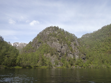
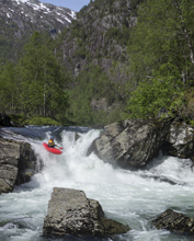
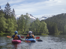
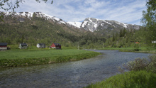
Heading up to put in I was quickly very pleased that Daniel S had volunteered to job/walk the shuttle as it was very steep and some 4 miles long. Arriving at put-in, we quickly ate lunch and headed onto the river. Around the first corner you are greeted with the first fun slide, class IV to IV+ and two tiered we were pleased with the flow and hoping for more rapids like that. The river however takes long spurts of mellow, floating between ponds that are occasionally small alpine lakes. The scenery is superb, but don't expect a non-stop thrill ride of rapids. The action continues with occasional class III and IV drops leading up to a long lake that ends in a class V double drop. The line is a thin one that lands in 6 inches or so of water, but actually boats really well and all but one in our group ran it, all successfully. Downstream you portage a gorge that at our flow was unrunnable, the walk is easy and about 100 yards long. On the other side of the next pond we scouted the first rapid which had a boof over a very large hole before immediately moving downstream into a rather sievy runout. It all went fine, but you wouldn't want to get stuck in the hole and swim that is for sure! Downstream we quickly headed down and found take-out.
Daniel S quickly changed shoes and headed on up the road. About a mile in he was passed by the same angry lady who gave him another death stare as she passed him. Moments later, as he hears a car coming up from behind him (the direction she passed him), he continues jogging, looking down at the ground hoping he wasn't about to get an aweful earful. Rather than that lady, a nice block drove by and waved smiling and friendly... so much for Daniel's one opportunity for a hitch. By the time Daniel tried to stick his thumb out the guy was gone.
We had a healthy amount of water. The slides just upstream of the main bridge at take-out looked high but not flooded. The river could certainly take more water for the rapids we ran. We would estimate it at about 15 cms.
That afternoon we drove to the Brandsetlevi to camp. As we round the corner and get a quick glimpse of the main slide we are frightened by the high flow that we see... time to make a plan.
Last: Norway 2015: Day 5 - Teigdalselvi
Next: Norway 2015: Day 7 - Brandsetlevi
Mi 0.4:
- First Slide (IV+). After some flat water, you get to the first slide. Hop out on the right to scout. We ran down the far left of the first slide, though we entered center to move left. The bottom slide had a big hole in the middle, but a boof over it existed on the far left or an easy slide around it gracefully on the far right.

- Ledge (III+). The next rapid of note was a straight forward ledge, we ran down the far left. I could see this being a big hole at higher flow.
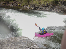
Small Slide (IV-). A little ways downstream was a fun small slide, we ran the far left on it. The middle had a good hole.
Boogie (III). Downstream is an occasionally fun ledge or rapid to run.
Second Slide (III). The river constricted and slid down through a small hole. We stayed right.
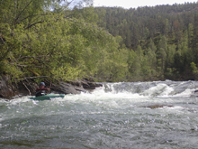
Pre-Double Ledge (III- to III). Not a big rapid, but it did have a strong right to left zig-zag around two uniform holes.
- Double Ledge (IV to IV+). We entered center where the river deflected off the slide into a wave hole as opposed to normal hole. The bottom we ran left of center, boofing the low angle slide's hole. Just downstream was another small ledge that we ran far right on.
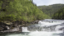
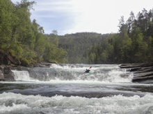
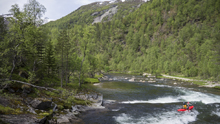
Flat water fills the next mile. When the river exits the pond, take the left channel and scout on the right before the class III slide.
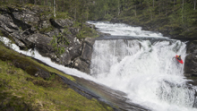
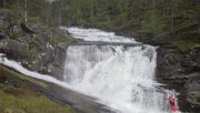
- Double Drop (V). A class III low angle (and sorta junky slide) leads to a 25 foot tall drop. You don't want to be right as it would be a huge hit. You want to be driving far left and boofing into the shelf which has an eddy and one spot that is about a foot deep. So you better have good boat control! The exit just below is another 5 foot boof.
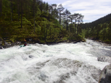
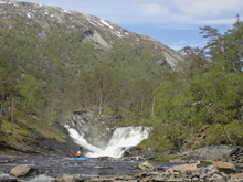
- Portage Gorge (V+ to U). It wasn't runnable at our flow, perhaps at low flow. As soon as you paddle across a small pond hop out and portage the whole gorge on the right easily using the trail. It is maybe 200 yards long.
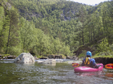
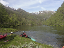
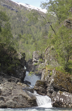
- Pond Exit (IV+ to V-). On the other side of a super cool pond, scout right. The drop had a sweet boof, maybe 8-10 feet tall, over a huge hole. This then led into a small pool before the sieved out exit. You want to set safety as swimming here would be bad. The exit was down the far left. The top boof was on the far right shelf.
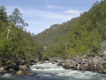
Boogie (III to IV). Some really fun boogie led down to the last pond.
- Take-out (III). One small rapid that we ran on the far left just above bridge was left before we took out.
Gnar (V+). Downstream were a series of slides and fall that were way to high to paddle and led to the lip of a 90 footer. Below this is the huge slide you see video of often. Below that is more gnar that has been run at the right flow.
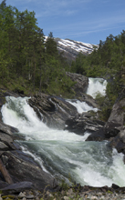
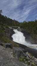
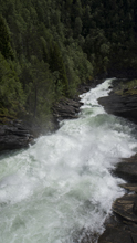
Take-out: Head out of Voss heading West on E16. Follow this for 25 km or so. At the exit of a lake on a big left bend in the road, look for the sneaky turn to the right to drop down and cross the river. Take this or the next one from the bridge right at the top of the next lake... once on the other side of the water, head towards the middle of the two bridges you just chose from (left if you take the first, right if you take the second). Look for the sharp turn (angled steeply back up river) for Øvstedalsvegen. Take this up. After a hundred meters or so and one sharp switch back, go to the right on the smaller of two roads. This then climbs steeply for 3.3 km before reaching a fork. Drop to the left for steep descent 3.8 km down to the bridge over the river. The take-out bridge is on a small private road just before this bridge on the right.
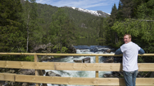
Put-in: Head back out 3.8 km to the fork. Turn left and follow the road 3.0 km quickly over the pass and back down to the small valley and town below. We put in at the bridge.
HTML Comment Box is loading comments...
