Tellico River (Upper Upper Upper)
| Stretch: | Holder Cove Campground to David Creek Campground |
| Difficulty: | Class IV- to IV |
| Distance: | 1.15 miles |
| Flows: | Tellico at 3.75-5.0'. USGS's Tellico gauge. |
| Gradient: | 196 fpm average |
| Put-in: | Holder Cove Campground or just downstream along the road |
| Take-out: | David Creek Campground or Birch Branch Campground |
| Shuttle: | 1.15 miles, (3 minutes one-way) |
| Season: | Fall, Winter, and Spring from rain |
| Written: | © 2019 |
| Featured in A Wet State #150 | |
The day before, we Upper Snowbird with Grady Flynn who mentioned some upper stuff on the Tellico. I hadn't heard of the Upper Upper Upper run before, so I made a mental note. The next day, flows were at a perfect level for it, so I made the plan to go with Erik Hancock and Diane. It fit our need well as Diane had to work at 5 pm in Oak Ridge, so a shorter day was a great option. We also planned to run the nice section of rapids near the North River that I saw while running the Bald River shuttle a few days prior, and then while driving up, saw the North River had water... so our short day became a mission of short sections. By the end of the day, we would run this section two times, the steep section of the "Upper Upper Tellico" twice, and parked a hucked a small ledge on the North River.
Arriving at this section, we first all quietly thought to ourselves that the run looked kinda like a POS and also looked low. We were there though, so we set shuttle and began to drive up. We scouted along the way to check for wood, which there were avoidable pieces, it was good to have scouted though as a few were blind or tricky. Most of it you can see from the road, but two steeper rapids are on bends, so it is worth getting out of the car and walking out to them.
The river ended up being a lot more fun then we anticipated. There is a lot of boogie in the class III range, and then three standout rapids that are class III+ to IV. It really is a hoot, so after finishing, we decided to fetch the car and reset the shuttle. It was worth doing again for sure!
For reference, we had 4.3' on Tellico and dropping fast from a torrential rain 2 days prior. I thought this was a perfect flow. Padded, not boney, and not pushy.
Mi 0.0:
- Island (II). Immediately below put-in is an island, the left side had multiple logs. We actually put-in below.

Boogie (III). Downstream the river is basically continuous class III except the bigger rapids.
- First Rapid (IV). The first rapid occurred on the first left bend. We stepped down some short ledges on the right and then exited on the left.
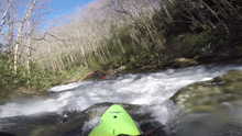
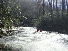
- Second Rapid (IV). The second rapid occurs on the next left bend. This one is the biggest for sure. A small rock fence that we ran right of center led to a 3-4 foot tall ledge that we ran off the center. At high flows I bet this hole gets big. We then ran down the left of the next tier through a small hole. You could miss it far right if the flow was higher. The final ledge was 100 ft downriver, we had to drive far left away from the main drop due to wood immediately downstream. It is probably better anyways, as the right was also a deep hole.
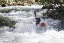
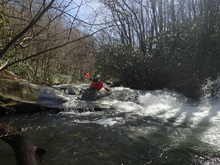
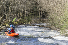
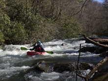
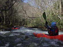
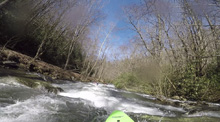
- Final Rapid (III+). The final rapid was immediately above the take-out. It didn't look like much, but it was actually a lot of fun, zig zagging with the main flow between rocks and boofing the shoulders.
Take-out: From the town of Tellico Plains, take TN-165 4.5 miles east up river. When the river tries to bend away from the river, turn right on River Rd to continue traveling upriver on the smaller two lane road. Follow this 15.7 miles. You know you are close when you pass the signs for the hatchery. We went up to the second campground as the stuff between the first and second looked meh and like more water would be better. The one we used was Davis Creek.
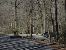
Put-in: Continue up for 1.15 miles to Holder Cove Campground. We actually put in maybe 200 yards downstream as the river split around an island and had some wood, so we put in at the bottom of the island.
HTML Comment Box is loading comments...
