Tekhuri (Middle)
| Stretch: | Above Etseri |
| Difficulty: | Class IV- to IV |
| Distance: | 8.6 miles |
| Flows: | No Gauge. Estimate at put-in: 1,800 cfs |
| Gradient: | 111 fpm average |
| Put-in: | Wooden Bridge across river |
| Take-out: | Bridge in the town of Etseri |
| Shuttle: | 13.8 kms (75 minutes one-way, rough dirt) |
| Season: | Spring and ? (Powerhouse will dewater this section by 2019) |
| Written: | © 2017 |
Our thanks to our trip leads at Two Blade Adventures.
Republic of Georgia 2017 Day 9:
Waking up in the morning at the Bzhuzha, we decided to do a morning lap there before heading out towards the Tekhuri. After the laps, we began to drive and Egor got updates on flows and weather and we briefly contemplated heading directly North before the rain moved in up there. But with the certainty low, we opted instead to stay on the original plan.
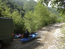
Arriving at the Tekhuri, we moved our gear into a local's van who Egor hired to drive us up the rough road that goes up along the river. The drive took over an hour and 4-wheel drive, though not mandatory, would certainly help... and clearance was mandatory. Our hope was to put in a mile or so higher than we did, but when we got there and scouted Alona and Egor said flows were on the high side and it would be better to put in below the steepest section. Apparently, there is a 20 mile section above this that is just waiting for the first decent...
Putting on the water, we were greeted by fluffy class IV-ish water that was continuous in nature. The crux of the upper half is just after the first bridge. Eventually, the mountains open up into a valley and some mellow white water takes you down to the start of the gorge in the lower portion of the run. The gorge is indicated by crossing under a second bridge. Here, the walls tighten and you enter a walled out gorge with one significant drop that probably should be scouted your first time as if you follow the flow you would find a rock buried in the drop. Scout left. Below, you enter a beautiful canyon with a few small rapids before the canyon again opens up, this time to the farming plains. Now you float to wherever you arranged take-out.
The man who drove us to put-in picked us up, and we went to his house where his wife prepared a delicious meal that was a pure feast. To accompany all the amazing food, they also gave us several liters of wine to take with us, wine made with grapes from their yard. Delicious!
That night, we drove about an hour to the take-out of the run we were going to do the next day. We settled into another hostel and contemplated the high flow in the river. The plan was to get an early start to do the Upper and Lower Khobis, which would be 10 miles of class IV/V followed by 8 miles of class III/IV. So we went to bed to the sound of rain with anticipation for the next day.
Previous: Republic of Georgia 2017 Day 8 Afternoon - Bzhuzha (Extreme Race Section)
Next: Republic of Georgia 2017 Day 10 - Khobis-Tskali (Lower)
Mi 0.0:
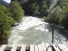
- Steepest (IV to V). We didn't put in up this high due to high water. Looking downstream you can tell it is steep, continuous and powerful.
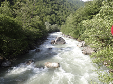
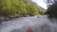
- Our Put-In (IV- to IV). Downstream, the river began at a class IV pace. It was non-stop action, though the river was wide and there were normally many lines.
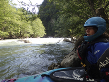
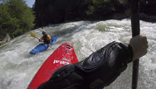
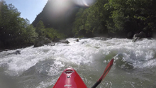
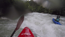
- Bridge Rapid (IV). Underneath the first of the main road's bridges that you pass under, is a rapid that you want to be far left on. There are two holes to punch. But it is cleaner than the center and far right.
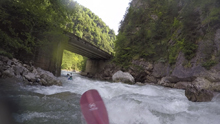
Post-Bridge (IV). Immediately downstream, the river entered a congested rapid that changes regularly. We entered center and drove hard right through the middle to exit middle. It was junky and full of rocks.
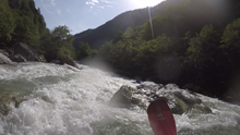
Boogie (III to IV). Rapids continue with no pools, just mellower in between sections.
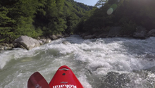
- Bridge / Start of Gorge (III to IV). You pass under the bridge and enter the final gorge. The first few rapids are straight forward enough, be aware that the rock has changed to a sedimentary thing that has some ugly looking spots. Stay away from the biggest boulders.
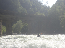
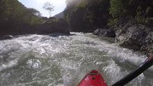
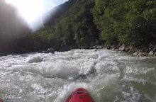
- Ledge (IV). This rapid should be scouted on the left. It is a ledge with a big explosion in the middle where the water appears to hit a rock. You want to be on the left and boof into the eddy below. We entered center and then headed left for the boof. It looks worse than it is, but it is still worth scouting. Below, you enter a shear walled section with a few sticky holes that you want to zig zag around.
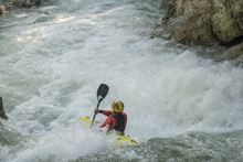
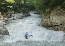
Interior (IV). The walls open up slightly, still totally gorged though, and you enter a long rapid where the river bends right and hits the left wall, it is read and run, avoid any holes. This then dumps you off in a super beautiful walled out mellow gorge before it opens.
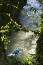
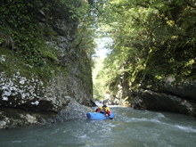
Put-in / Take-out: Use the GPS coordinates in the map and a mapping program on your phone. The street names will not be legible anyways...
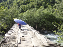
Put-in: 12.8 km upstream from the take-out look for a road dropping off to the left and crossing the river. The put-in is on the downriver side of this wooden bridge. You can go another km upstream to where the road crosses the river to get the bigger section.
Take-out: The bridge in the town of Etseri worked well for us.
HTML Comment Box is loading comments...

