Thunderhead Prong of the Little River
| Stretch: | Above Lynn Camp Prong Confluence |
| Difficulty: | Class IV to IV+ |
| Distance: | 0.65 miles |
| Flows: | ~3.8' to ~5' on the Little River at Townsend (~1m to ~1.4m on Tremont Gauge). Check out American Whitewater's current flow gauge. for the Little. |
| Gradient: | 287 fpm average |
| Put-in: | Sams Creek Confluence |
| Take-out: | Lynn Camp Prong Confluence |
| Shuttle: | 0.65 miles hike, 10 minutes. |
| Season: | Winter and Spring, rain... maybe after a huge summer thunderstorm |
| Written: | © 2015 |
| Featured in A Wet State #97 | |
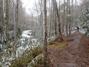
If you ever get to the Tremont and find the water a bit high and want to add some extra thrills to your day... make the easy 0.7 mile hike up the Thunderhead Prong to add some micro creeking boulder garden action to the day. While you are hiking up, make sure to scout for wood as this creek is known for collecting some. Our day we had one river wide piece we were able to hop over and two that were in holes in the middle of lines that spiced up otherwise class III+ moves. But if water is up, catching eddies can be hard or impossible at times so better be safe and take a peak on the way up.
The run itself is short. From the confluence you have mostly boogie that drops at a rate of 287 feet per mile. Tucked in a few of the moves are sticky holes with no recovery time... so keep it hairy side up as well as boater/boat buddy system intack. Once you cross under the footbridge you know you are dropping into the final quarter mile that is one big rapid with very limited eddies once in it. There is one at the lip of the crux (which last for a hundred yards) that you can use to scout... once you enter that I think you are in it to win it. Below, you quickly move through a few more ledges and hit the confluence and either get to continue down Tremont or hike up for another lap!
As an added bonus, after finishing our day on the Tremont section downriver, a spectator to our day's enjoyment left us a great note telling us that we "rock" and were "awesome." I could do with those affirmations each day when I finish my activities!

Mi 0.0:
- 8 Foot Boof (IV). OK... so we accidently put in 100 yards or soo too low at a small creek that trib'd in. So we missed this drop. Supposedly it is a lot of fun though...
Boogie (IV-). The first 2/3rds of the run are boogie rapids. The thing to be on your toes for is wood. There is one good size hole just above the bridge that sneaks up on you.
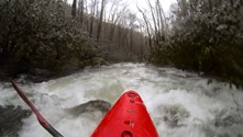

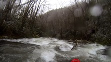
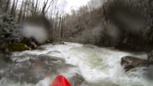
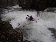
- Below the Bridge (IV to IV+). The rapid that picks up steam directly below the bridge is definitely the crux and should be scouted on the hike up. The entrance has an eddy at the lip on the left you can also hop out for a quick scout. At the very top, the river splits... either side is ok here. Below, just before it really drops, go left and follow the current down to the bottom. The bottom hole is fairly sticky and there was a piton in the middle. I got pushed left but I bet driving right is cleaner.
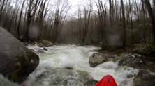
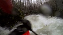
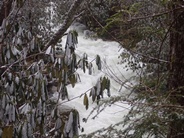
Exit (IV). Just below are two sticky ledges that could mess with a swimmer from the rapid above. We the first one boofing the far left and the second one down the middle with speed. Careful for the seam in the center of the channel as it can flip you.
For more details on the run, see the AW write-up
Take-out: Heading East out of Townsend on US-321 continue to the Y and turn right (turning left takes you up the Little River Gorge). In about 100 yards turn left on Tremont Rd to continue up the Middle Prong. Continue for 4.3 miles until the road dead-ends. Park there.
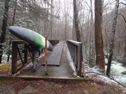
Put-in: Cross the trail bridge and immediately turn right on a lesser trail (but well-traveled). In a few hundred yards you will see the biggest rapids and a footbridge that crosses the river signaling the start of the crux section. Keep following the trail up to the confluence with Sam Creek which comes in from the opposite side of the river.
HTML Comment Box is loading comments...
