South Sauty Creek
| Stretch: | Intersection of County Roads 43 and 56 to Bucks Pocket State Park |
| Difficulty: | Class IV |
| Distance: | 6.4 miles |
| Flows: | 8.2-12.2' on the online gauge.. Check out American Whitewater's current flow gauge. |
| Gradient: | 57 fpm average |
| Put-in: | Access at the intersection of County Roads 43 and 56 |
| Take-out: | Access at the gage to Bucks Pocket State Park |
| Shuttle: | 10.2 miles, 15 minutes one way |
| Season: | Winter and Spring from rain |
| Written: | © 2018 |
| Featured in Video A Wet State #147 | |
After running Pocket Creek in Tennessee the night before, Diane and I got dinner in Chattanooga and then headed south to run some of the Alabama creeks that we had never done. Our friend, Matt Huddleston, who is from Birmingham was also game to boat. He was also game to boat early which would enable us to get two creeks. Which, when you are 3.5 hrs from home, is always a nice thing.
The plan was to meet at the take-out of South Sauty good and early, at 8 am. Even with our decision to find a motel (it was below freezing at night and raining, neither Diane nor I felt like camping in that weather) near the river, Diane wasn't sold on the plan... not until she remembered that 8 am was going to be central time, so she basically got an extra hour of sleep. Game on.
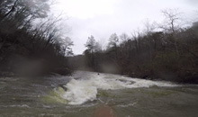
This river starts off with a fun ledge at put-in. Below, you will run one or two rapids (careful of the right wall at "Tits") before getting to Welcome to Sauty. This is a good Initiation rapid. If people aren't feeling this one, it is usually a good sign to hike back up and out of the canyon as it sets the pace and difficulty for the day. Not far downstream is the second dangerous rapid, Jonah's Whale, which has an obvious undercut rock in the middle of the river that the water slams into, stay far right (at low flow, a hairy ferry is required). Below, action continues at a steady pace. After a wonderful cliff faced rapid, you get a brief section of mellow before the most consistent hard rapids are thrown your way. These class IVish rapids climax at Bone Crusher which is a long rapid that can be consequential if you end up too far off line. Below, the river quickly mellows into the paddle out.
This run is considered an Alabama classic. It has a gauge online, it runs often, and unlike basically all of the other Sand Mountain runs, it does not have a lake paddle at the end. The nicest part though is the consistent whitewater. Throughout the entirety of the run, you were greeted with fun whitewater that was manageable for a wide range of skills.
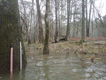
For reference, we had 10.2' on the online gauge after several days of severe rain. It peaked at ~15' the day before. You want at least 8' from what I have read. At take-out, about 50 yards downstream of the washhouse at the state park, there is a stick gauge. It is a small white ruler basically, that gauge showed 25" when we set shuttle and 24" when we finished the run. I would say this was a great flow, felt perfectly medium for the river bed, but I think it is also on the higher side of medium or maybe even a bit on the "high" spectrum for an average South Sauty user. But, if you are running what is a standard class IV run in my mind out west, like the Lower Tuolumne river at summer release, this river will feel the similar at this flow.
Mi 0.0:
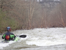
- Matheny's Ledge (III to III+). Put-in, ferry across the river, and scout the drop from the right. The normal line is to run the boof just to the right of the rock pile 15 feet off the right shore. I am sure at really high water a big hole forms, but at 24" the hole was mellow.
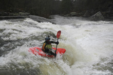

- Tits (III-). A small ledge formed by a few rocks. The rocks are fun to boof with enough water, but whatever you do stay away from the right wall as a lot of water moves that way and into a cave/pocket thing. Error left to be safe.
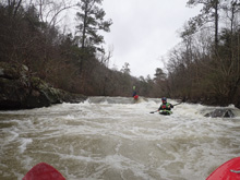
- Welcome to South Sauty (III+ to IV). The first real piece of whitewater on the run, this rapid is used as a gauge. If you aren't feeling it, time to hit the hill and walk back to the road/car. Really anywhere went, we started right and worked far left. Near the bottom there was a ledge, we ran to the left of it where a steep tongue enabled you to lift your bow over a small hole. I wouldn't want to be dead center down there as the hole seemed less forgiving there.
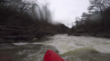
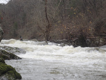
Boogie (III-). Some fun boogie rapids are in this section...
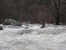
- Egg Scrambler (III to III+). Along a wonderfully scenic right wall, this rapid is a little blind but quickly accelerates you along the right shore and back left down a nice tongue. Not really tough, but the curling/seaming flow could cause a class III boater issues.
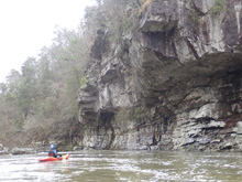
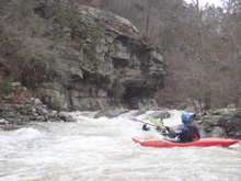
- Jonah's Whale (III+ to IV-). A large midstream boulder marks this rapid. It is an obvious feature. You can scout from the lip on the right. At medium and high flows, run down the far right which keeps you away from the hazard. The hazard is the midstream boulder which has a catcher's mitt front face that you do not want to get near. At low flow, the rapid is a bit tougher as you have to ferry in front of the hazard.
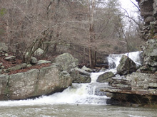
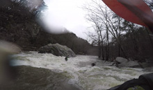
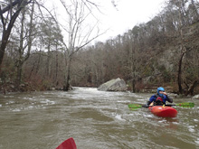
- Secret Room (III- to III). Not really a big rapid or anything, this rapid is along a right cliff face and has a fun eddy/room to catch by boofing to tuck behind the top boulder on the left. You then ferry out away from the wall on your left immediately downstream.
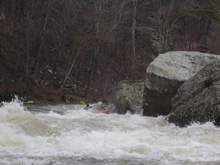
- Cliff Left (III+). Unmistakable, this is probably the prettiest rapid on the run. The rapid starts off along a 200 foot tall cliff along your left. Give it some room at the top as there is a bit of undercut to it. Half way down you can eddy out under it though. Below, there is a small ledge that you want to run middle which then drops you onto a slide to run anywhere. Super pretty spot. I wished we got out for nice pictures here.
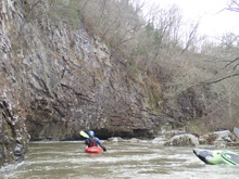
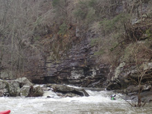
- Drunken Horseman (III- to III). After a section of mellow paddling, you get to a rock fence that keeps the water elevated on the left side, you can scout from the raised eddy here. Or, just run down center. The move is to avoid the obvious boulder in the middle of the river that is like a mini-Jonah's Whale, by going down the left of center side of the main channel.
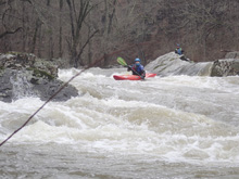
Whale Tail / Cheesy Boof (III). Immediately downstream was a ledge, we boofed the right side which was fluffy and fun. This then immediately drops you into Upper Minefield.
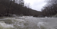
Upper Minefield (III+ to IV-). I should have waited for Matt. I just went off ahead and read and ran the rapid in the main flow. There were some holes to boof over but nothing bad. Matt however went off to the left and hit a sick boof in a small sub channel over there about half way down the rapid.
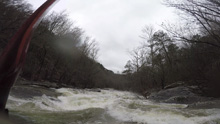
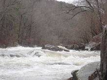
Lower Minefield (III+ to IV-). An easier version of Upper Minefield. We ran with the flow to the right and then back left.
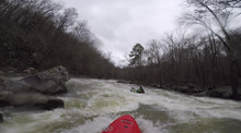
- Sick Boof / Slot (IV). As big boulders block the river, I believe this is the "Slot" Rapid. We however ran a sick boof in the left channel off the left side of the center hump. It was maybe 6 feet tall and landed in a decent little hole. Run it with some right angle and speed. The slot is in the center and moves back to the left, just run down the flow.
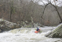
Boogie (III-). Some fun boogie rapids are in this section...
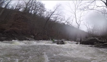
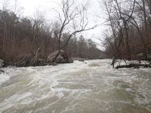
- Entrance to Bone Crusher (III to III+). The river enters a large rock fence, we boofed into the right and then ramped back to the left to rejoin the main flow. We then eddied out on the left to check for wood. If you want to do a proper scout, after entering right at the very top, eddy out and scout from there.
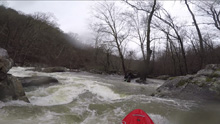
Bone Crusher (IV). This has changed, but I really didn't think it was that hard. Still, the hardest rapid on the run top to bottom, but I expected worse. There is a large rock in the middle of the river that the water piles up on, you want to go left of that but then immediately cut back right. There is actually room for error here, but the left of center gets stickier fast. The hazard is getting pushed all the way left where wood often accompanies a sieve. It really wasn't hard to just run with the flow working right.
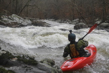
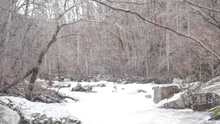
Boogie (III-). Some fun boogie rapids are in this section...
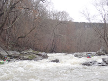
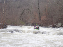
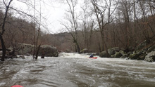
- Boogie (III-). There is some fun boogie that continues to the end of the run. Just go with the flow.
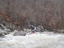
Take-out: Google yourself to Buck's Pocket State Park which will get you there. Or, get to Fort Payne on US-59. From there, take AL-35 North for 7.3 miles before turning left onto McCurdy Ave. Continue straight on this for 1.5 miles before continuing straight onto AL-75S. Continue for 3.1 miles. Turn right onto Campbell St and go 1.7 miles before turning left onto County Rd 50 / Grove Oak Rd. Turn right onto County Rd 19 and go 1.6 miles before turning right onto Co Rd 557. Go 0.5 miles, turn left towards Buck's Pocket State Park onto Co Rd 173 and continue dropping down the gorge. At the bottom, don't go left and cross the river, go right and park at the gate to the State Park (which has been closed for a few years).
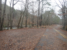
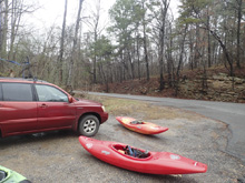
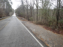
Put-in: Go back out the way you came to Co Rd 50. Go left and follow it for 4.4 miles before turning left onto Co Rd 43. Follow this for 2.8 miles. Park at the intersection with Co Rd 43. The trail is on river left on the upstream side of the bridge.
HTML Comment Box is loading comments...

