Soo River
| Stretch: | Above the 99 Highway |
| Difficulty: | Class IV to IV+ |
| Distance: | 1.8 miles |
| Flows: | No gauge. Visual at take-out... will look a little low on the gravel bar, but not rocky. |
| Gradient: | 155 fpm average |
| Put-in: | Spur just off of Highway 99, at the break in the guard rail. |
| Take-out: | On Highway 99. |
| Shuttle: | 2.9 km on highway 99. Some dirt for 100 yards on the spur, not bad. |
| Season: | End of Summer (July/August) from snowmelt/rain |
| Written: | © 2013 |
| Featured in Video A Wet State #79 | |
Washington and BC 2013 Day 5:
Our third day in BC was a last minute add to our list. One our first day, we were told that the Soo would have good water for the next few days and was nearby just North of Whistler. With that in mind, we decided it sounded like a good mellow day for us. Our new friends Chance and Van were also game so we set out. Arriving at take-out Eric, who had done it on a previous trip, declared that the water was half as high as when he did it. I could tell that motivation was dipping but the team was willing to continue on.
Quickly downstream of put-in, the river quickly gets steeper and you find yourself in a busy section of white water. After one or two spicey class IV rapids, you get to the crux section of river. It would be wise to hop out before a river wide ledge (best run far right) to take a gander. The rapid immediately below also had a sneaky hole in it that surfed two of us and swam one. Below, the river eases up to continuous class III all the way to the take-out.
This river was a nice quick addition to our day. The water quality was classic milky blue. The scenery was nice, though train tracks on one side and a road on the other certainly did not provide a wilderness impression. But, regardless, the run was worth it. After doing the river we headed North a few km on 99 to check out Nairn falls (not to scout, but just to tourist it up) and went to the Olympic Village before heading back and closing on Callaghan and Cheakamus laps before calling it a day. How can you complain with fitting that much activity into one day?
Also check out LiquidLore.com for the final word on BC boating...
Mi 0.5:
- Down the Right (IV). After about a half mile of class III boogie you come to your first good size rapid. Once you realize you are at a good size rapid though, there is no eddy to scout from. Luckily it went just fine down the right through a series of holes. Half way down it we moved back center to avoid a rock on the right.
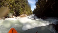
- Landslide (IV-). At the landslide is a long rapid that we ran down the middle of. Near the bottom there was a small hole that we ran dead center down.
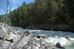
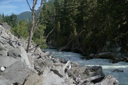
Ledge (IV to IV+). Just downstream, is a small ramp to a river wide ledge. At some flows I imagine this gets really bad. At our flow we were able to boof over it on the right.
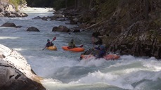
Linda Lovelace (IV to IV+). Just downstream again, is a boogie rapid that gets steeper and rockier. Darin was filming the ledge upstream and turned to give me the signal to continue on and he would film from there. So I began to float in to the rapid, waiting for the line to appear to me. As I got closer you could tell the right side was rocky due to fanning water. I started to error left. As I entered the first move though just in front of me, what I could have sworn would be a ramp was now a pocket hole. After a brief surf I flushed out and ran down the middle. Diane however was not so lucky and found the same sneaky hole. Move was to swing center/right and then back left.
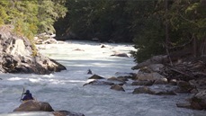
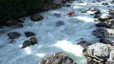
Boogie (III to IV). From there, it was just one long continuous section of boogie. Nothing more than class III... but perhaps that makes the mile class IV in nature.
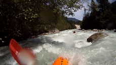
Take-out: Take-out is 22km North of Whistler no Highway 99. Access the river via the large turnoff when the road first drops down to the river. If you cross the Soo River, you have gone a hundred yards too far. If you cross Rutherford Creek you have gone 2 km too far.
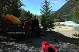
Put-in: Head back south on Highway 99. In 3.1 km, as you begin to climb a small hill, you will see a break in the cement highway barrier. There is a dirt road that drops down 100 yards to the river, starting at the break in the barrier.
View Soo River in a larger map
HTML Comment Box is loading comments...
