Fiume Soana
| Stretch: | From Frazione Villanuova to near Pont Canavese |
| Difficulty: | Class IV to V |
| Distance: | 4.0 miles |
| Flows: | ~600-2,000 cfs |
| Gradient: | 217 fpm average |
| Put-in: | Bridge over the river in Frazione Villanuova |
| Take-out: | At the small power plant upriver of Pont Canavese on a small dirt road off of the main road or downriver in town |
| Shuttle: | 5 miles (10 minutes), with the small spur to take out on not great dirt |
| Season: | Spring from rain/snowmelt |
| Written: | © 2014 |
| Featured in Video A Wet State #89 | |
Piemonte / Ticino 2014: Day 4
I would be lying if I told you this run was on my radar before our trip. I don't think I had heard of it other than briefly in one of the guidebooks. But I am glad our Austrian friends recommended it!
In somewhat rare fashion for Piemonte, the river is in a deep canyon that would be difficult to egress from except at one of the few access points throughout the river.The river starts off with a bang, directly below put in continuous class IV+ starts and continues right up to the first portage. Below the portage, you again quickly get to a stout drop that we all walked. I have since seen pictures of it getting run... perhaps I should have given it a proper scout rather than relaying on beta that it was a walk... but that is easy to say now of course. Just downstream was the biggest boulder garden of the run. Only two members of the team ran it which the rest snuck down on the left and then portaged easily. Below, challenging rapids continue until you get to the biggest rapid of the run that is most commonly portaged, the Land of Giants. Below the canyon loosened its grasp on the river but another long portaged presented in what would be a runnable rapid if not for the sawed remained of a log sticking straight up and out of the bottom drop. Downstream is one more walled in gorge with a must run entry. Below is a weir and 1 last hard rapid before things lighten up.
For those not wanting to bite off the whole run, there is an optional lower put in where the water tubes for the power plant cross the river (small road just prior to an odd overhead cement structure on the main road). I think this would result in a very short day though... but we aren't 100% certain where the alternate put in was on the river itself.
Anyways, this day ended up being several in our group's favorite day on the water. I liked it... but in my mind the trip was more about the creeking so it doesn't get the vote of "favorite" from me... but it was certainly one of the best. It and the Verzasca were my favorite river runs of the trip, no doubt about that.
I imagine this run can get run much lower than we had. I would estimate our flow around 1,000 cfs. Maybe 1,200. At higher flows I would provide caution. The rapids are very continuous and powerful early on... be sure you are up to the challenge if you head in at high flow. At low flow I imagine one or two boulder gardens would have to be walked... but perhaps small boof lines would be more runnable and open new lines up. Anyways, add the Soana to you to your list...
Also check out the Glanz brothers' (Harry and Reiner) blog for more outstanding pics from this trip
Mi 0:
- No Warm Up (IV+). No warm up here, the first rapid is larger than it looks from the put-in bridge! We ran down the middle.
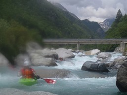
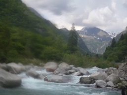
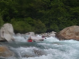
Portage 1 (V+). A large drop with rocks in all the wrong places is on a slight right bend. We portaged on the right.
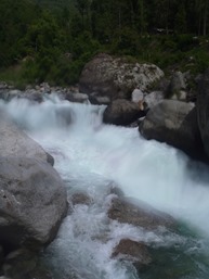
- Portage 2 (V+). One smaller in between rapid led to a 15 foot powerful falls. We walked on the right.
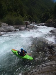
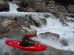
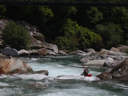
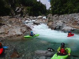
Big Bad Rapid (V). Just below the water fall rapid get out on the right to scout again. A large boulder field had a line on the far right before cutting back middle. It was consequential and didn't look like that much fun. Almost all of us walked on the left.
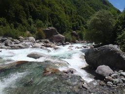
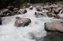
Just Below (IV to IV+). A rapid that looked worse that it was, started with a slide on the right before dropping down into a hole and a pinch combo. Plenty of us flipped in the squirrely water... but there was a big pool below.
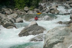
- Ledges (V- to V). A long rapid with 3 main parts to it. The entry was a tight boof in the center. The middle was a ledge boof that you wanted to be right on, one in our group got beat a bit here. The bottom you wanted to be far right for a double hole combo.
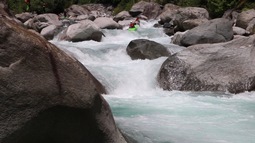
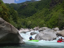
A Little Junky (IV). Just below was a moderately junky rapid that we banged down on the right
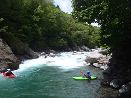
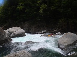
Hole (IV+). There was a hole here that several of us walked. U-shape and icky. Some ran it and it went fine. One ran it and got beat.

Some Great Boogie (IV to IV+). We hoped out a few times to scout. A ramp down the left. A double tiered thing down the right then left, and a boof on the left.
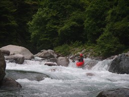
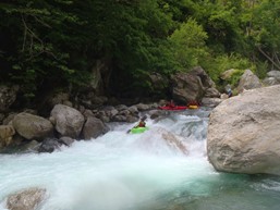
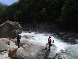

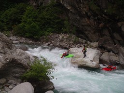
- Land of Giants (V+). Most will portage on the left, there is just a small eddy at the lip though so take turns. Large holes lead to a larger hole that feeds a whole bunch of the water below the rocks on the left.
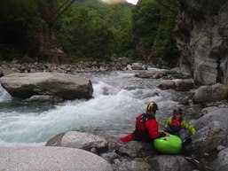

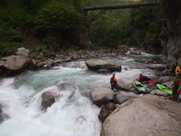
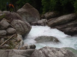
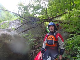
Stop (V). Some fun boogie leads to a foot bridge and rocks with the word "Stop" written all over them. We hoped out high to scout. 3 tiers down was a bad log in the only channel forcing a portage. Some in the group ran a few eddies further down to it. After we got back in the boat we quickly got to another folding ledge that we also walked on the right.
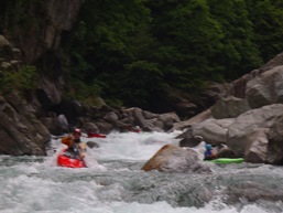
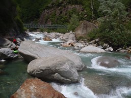
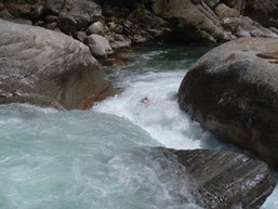
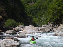
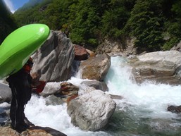
Boogie (IV). Easier boogie, though some of it gets junky.
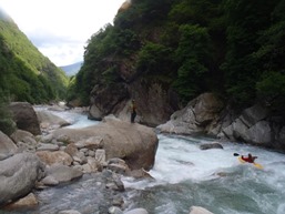
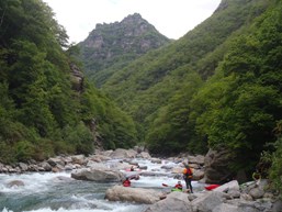
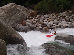
- Gorge Entry (IV+ to V-). The entry into an unportable gorge is marked with a split ledge. The left side was easier, the right side was a boof into a pocket... a good boof and you keep your head dry, don't plug as getting out of the pocket would be tough.

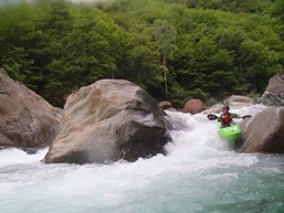
Natural Weir (IV). A natural weird ledge is portaged as some flows, again a single boat eddy on the right at the lip. We ran right of center landing between rocks. The exit of the drop is clean in the small blind left channel though you end up cutting back hard right in an even smaller micro channel to rejoin the main flow once you are around the corner.

Dam (III). A dam that can be run on the far right. Just below was a pushy rapid that we ran and then eddied out on the left to scout the next two tiers.
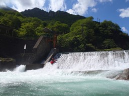
End of the Big Rapids (IV+). The last rapid was best run middle with the main flow which then drops to the right through what is surprisingly not a hole. Downstream is the exit which is best run far left through two funky but mellow holes.
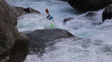
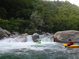
Boogie (III to IV). Downstream the boogie continues all the way to take-out.
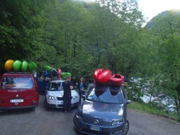
Directions: Use the GPS locations to get yourself to put-in and take-out... below is just the extra little info you may need
Put in is at 45°28'46.3"N 7°33'34.4"E at the bridge over the river just off the main road.
Take-out is at 45°26'03.4"N 7°35'23.6"E and is harder to find. Just outside of town, just past a head tall cement wall, there is a road dropping down to the right. It is one lane and is not great dirt. This leads down to the powerhouse that we took out at. Parking is very limited at the bottom. Very limited.
HTML Comment Box is loading comments...
