Silver Fork of the American (Middle)
| Stretch: | Above China Flat |
| Difficulty: | Class III-IV |
| Distance: | 2.2 miles |
| Flows: | ~500-2,500 cfs |
| Gradient: | 83 fpm average (the sections with rapids are ~95 fpm) |
| Put-in: | First Bridge upstream of China Flat Campground |
| Take-out: | Bridge at China Flat Campground |
| Shuttle: | 2.1 miles (5 minutes one-way) |
| Season: | Spring from Snowmelt |
| Written: | © 2011 |
This run is briefly mentioned in the Stanley Holbek book in one of the more stout sections of the Silver Fork's write-up. However, other than that vague mention, there is no other information on it. Last year, it was renewed in my consciousness when Culley and Karie Thomas went out to run the section one spring day. Since then, it has been in the back of my mind as a run to do when going around with class III-IV boaters. However, due to a desperately cold June (2011) weekend and a desire for something new and nearby, the group of class III-IV boaters was instead Darin, Mike, Shannamar, Diane and I, not exactly the group I imagined would enjoy the run but little did we know we would all enjoy it greatly.
The report I received from Culley was that it is a step up from Chili Bar and has a few hazards so not the place to take a beginner. I would agree with this assessment. It is harder than Chili Bar in that it is more creeky and thus more rocks and tighter moves. We all still thought it was a step easier than Chamberlains. The hazards were mostly rock pinches, a few not so severe sieves, and a few logs though I don't remember any being hard to avoid.
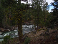
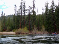
So why should you go out to the Silver Fork to run a brief 2 mile section of river? Because I know of no other place in California where a class III-IV boater can get the High Sierra scenery like this. Granite surrounding the river, tall fir trees sprinkling the river shore, and cold clear water. It reminded me of the Middle Stanislaus, only easier of course. Also, although it is only two miles in length, it is very easily bike shuttleable or walkable making laps an easy option. And although the road is always near the river, I really didn't notice it. Other than the few cars of fly fisherman parked along the river, you really felt like you were out in the Sierra.
The day we ran the river the Kyburz gauge was down, we did Kyburz after as part of a double day and estimated the flow to be 1,200 cfs. I say this because there is no gauge on Silver Fork. Silver Fork also seemed to be putting in most of the water. As soon as you turn off of Highway 50 you drive over the South Fork which looked like a trickle. So I am not sure how the water divides throughout the spring snow melt... if Silver Fork always carries more or if later in the melt the South Fork carries more. I thought our flow was on the low side but still good. I think with less water it would be less fun, and with double the water it would like feel very class IV due to several ledges and long busy rapids. So anyways, I thought the run was great and really should be boated more often.
Thanks to Darin McQuoid for sharing photos.
Mi 0:
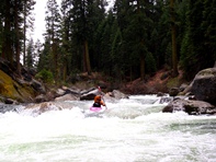
- Put-in (III to III+). Directly below put-in is a long rapid that we ran down the left the whole way. The top had an s-turn with a few holes while the bottom was a straight forward ledge.


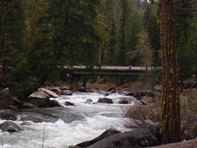
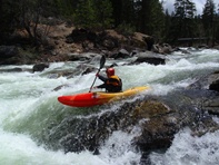
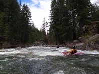
Picture This (III+ to IV). On a left bend a long rapid starts. The top part is just a wave train with a few small features. The rapid then continues over a ledge and then over a small cascade before bending right.
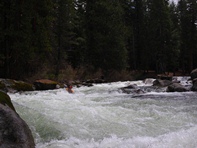
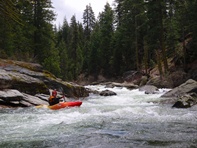
Ledge (III- to IV-). Just downstream is a class II rapid leading to a 3 foot ledge. You can boof the center or go right. As the hole was decent at our flow I imagine at higher flows this can pack a punch. Or perhaps it would flush out.
The river then mellows out for a good long pool.
- Men Fish, Wives Knit (III- to III+). I just thought it was funny at the lip of this drop, the cliché fly fishing man with beer in hand, big 4x4 truck parked nearby, and his wife knitting what appeared to be a scarf. Anyways, at the end of the pool is a short but steep drop into a good size hole. The further left, the bigger the hole.
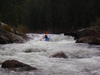
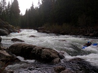
Boulder Gardens (III-IV). From here the rapids have less character as they tend to be long boulder gardens. Eventually, the river again turns flat and you see the take-out bridge. This is also the put-in for the Lower Silver Fork which is rated class V-V+.
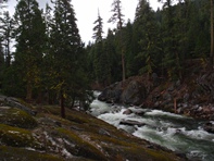
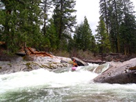
Take-out: As you enter the town of Kyburz on Highway 50, look for Silver Fork Rd. Take the road, cross the South Fork, and begin climbing up the ridge. Continue ~4 miles to China Flat Campground. 100 yards after the campground entrance on the Silver Fork Rd is a road that drops to the right and leads to a bridge (visible from Silver Fork Rd once you pass it on accident). Park at the bridge.
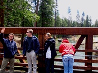
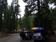
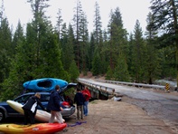
Put-in: Continue up Silver Fork Rd 2 miles to the next bridge across the river on a side rd. Park on the far side of the bridge where the access is easiest.
HTML Comment Box is loading comments...
