Scott River (Canyon Run)
| Stretch: | Indian Scotty Campground (or Canyon Creek) to Scott Bar |
| Difficulty: | Class IV-V |
| Distance: | 12.8 miles |
| Flows: | 700-5,000+ cfs. Current Dreamflows gauge |
| Gradient: | 56 fpm average (The good sections are 80+ fpm) |
| Put-in: | Indian Scotty Campground (or Canyon Creek downstream a mile) |
| Take-out: | Scott Bar |
| Shuttle: | 14 miles (15 minutes one-way) |
| Season: | Winter and Spring from Rain/Snowmelt |
| Written: | © 2011 |
Four years ago, Diane and I made an early morning drive up to the Scott River to meet a friend by noon for a run. However, due to a prior day epic and a large storm rolling through, our friend never showed up and Diane and I were less than motivated to try out the bleak looking hitch hiking prospect on a day that was dumping snow on us. So we left, driving the few hours to Weaverville where my folks live where we got a phone call that afternoon from our friend who arrived 3.5 hours late to take-out. Oh well, we weren't going back.
Finally, this year (2011) a road trip formed which took us to the Salmon, Klamath, and then on to the Scott River. Flow was around 1,050 which I thought was great fun but you could tell that a few hundred cfs less and it would be low. The river bed is wide and in many rapids rocks lurk just beneath the surface. However, the flow was sufficient enough to provide several powerful hydraulics and still give a few rapids a class V- feel to them. I have been told that when flows get to 2,000 cfs it is a more solid IV-V feel and at flows up to 5,000 cfs is takes on a very fun class V feel (See Darin's write-up for pictures of that).
We had local Darin McQuoid and ex Klamath River guide Scott Yoder with us showing us the lines so we made quick time through the run. We didn't scout any drops and took off a few miles early at a friend's private residence to cut off the final few miles of class II-III, thus resulting in a quick two hour run. If you didn't have beta, I think the only rapids you would need to scout are Whitehouse and Schuler Gulch though you might also add Tompkin's Creek though that one is scoutable from the road on the drive in. Other than those larger rapids, the run has many fluffy class III-IV rapids which were all straight forward. The scenery was ok, certainly nothing to write-up home about. The canyon was fairly open and many houses of varying elegance were spotted along the river. Perhaps the scenery is better when the cloud cover is less thick, perhaps. Regardless, I thought the run was fun and worth doing. If it were closer, I would do it more often. Due to its remoteness I will likely only get it again when I go back to do Clear Creek into the Klamath or make rounds to Elk, Indian, or Kidder Creeks.
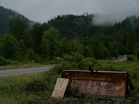
Mi 0:
- Boulder Creek Falls (V). This is a stout drop. Many people choose to put in downstream a half mile below at Canyon Creek (as we did). The rapid is usually snuck down the right. Lots of rocks, sieves and pin spots are in the main line.
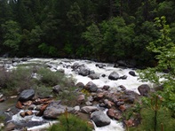
Canyon Creek (IV to IV+). We put-in just below this rapid which is too bad because it looked fun and fluffy.
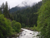
Optional Put-in at Mi 0.8 at the bridge on Canyon Creek Rd.
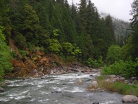
Boogie keeps you busy
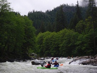
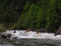
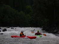
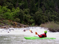
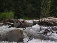
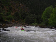
- Tombstone (IV to V). At our flows went around the hole (if this is even the correct rapid I am thinking of, with no scouts, they all kinda blend together cept for Tompkins, White House, and Schulers).
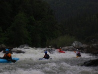
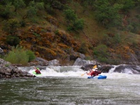
- White House (IV+ to V). The Scott River Lodge (formally a white house) is on the left. Scout right or just run it. Hug the right shore through the entry, stay off the right wall, and then punch the two holes below.
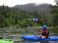
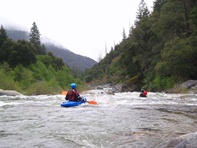
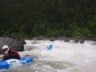
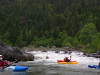
Tompkins Creek (IV to IV+). Just downstream of White House, you can see this rapid from the road at the Tompkins Creek River Access, you can scout this rapid. We started left and ended up boofing down the right. Fun drop.
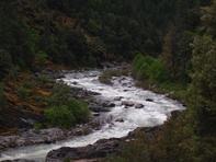
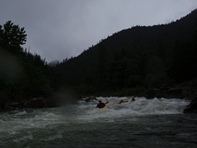
- Schuler's Gulch (V). After two fake Schuler's Gulches where big rock mazes make you think you are approaching it, you finally get to the read deal. Scout left. We just dropped in with the knowledge to end on river right. We ended up bombing into some large holes backed by other large holes. It then let up and entered an easier maze out down the right. The reason to move right in the big part is because of sieves in play on the left at the bottom of the hard part.
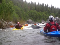
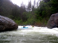
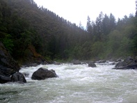
Downstream of mile 9.8 the river gets a bunch easier, we took out a friends place and saved having to paddle the mellow paddle out. There was one really good rapid in the section before where we took out that had a much larger than expected hole on river left.
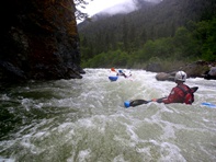
Take-out: Between Highway 96 and Highway 3, there is a town of Scott Bar on Scott River Rd with a bridge over the river. Take-out there.
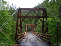
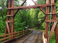
Put-in: Drive towards Highway 3 along the river on Scott River Rd. In 9 miles you will see Canyon Creek Rd, turn there and you will immediately see the river, you can put in on the other side of the bridge easily. Or for those wanting Boulder Creek Falls, continue up Scott River Rd another ~0.8 miles to Indian Scotty Campground.
HTML Comment Box is loading comments...
