Rio Santa Maria (3rd and 4th Canyons)
| Stretch: | 3rd and 4th Canyons |
| Difficulty: | Class III, then IV-V |
| Distance: | 12.7 miles |
| Flows: | ? cfs |
| Gradient: | 24 fpm (max of 64 fpm) |
| Put-in: | Near Ojo Caliente |
| Take-out: | Cascada Tamul |
| Shuttle: | ? miles, 3 hours |
| Season: | October-January |
| Written: | © 2008 |
| Featured in Video Twenty-Four | |
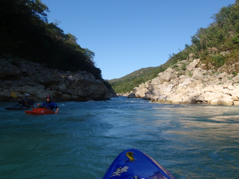
Some of our group decided not to run this stretch of river, either due to being rusty to kayaking or having boated all of 4 days in their life. Therefore, thankfully again we had shuttle drivers. The shuttle for this one is very long on dirt roads and takes over 3 hours 1-way, again not a shuttle for our scooter. The run was one of the prettiest river canyons I have been in. I only wish the water were a little lower. We ended up with 1 portage in the first canyon (log and undercuts making it a very dangerous and not that fun rapid) and 3 portages in the second canyon. The first had too many large holes for our tastes, and when I say large holes they were huge. Plus that rapid flirts with a siphon that has killed at least 2 boaters in recent years. The next rapid didn't look bad but had a huge hungry folding hole at the bottom. The regular line is to sneak the far right, but this was a huge hole feeding into an undercut. The next walk was the last big rapid. It was simply horribly junky. There might be an entrance, we were told there was on the right. But the run out is through huge holes all with rocks in the pillows, so good luck missing every rock. Didn't look like fun. We did get to run 4 or 5 of the bigger drops along with all of the really fun III+ drops at the beginning and end of the day. The one benefit of the high water is that there was some 7 miles of flat water between the canyons. With the higher water this went by in about 1.5 hours or so, maybe a little less. We did keep a good pace going the entire time though.
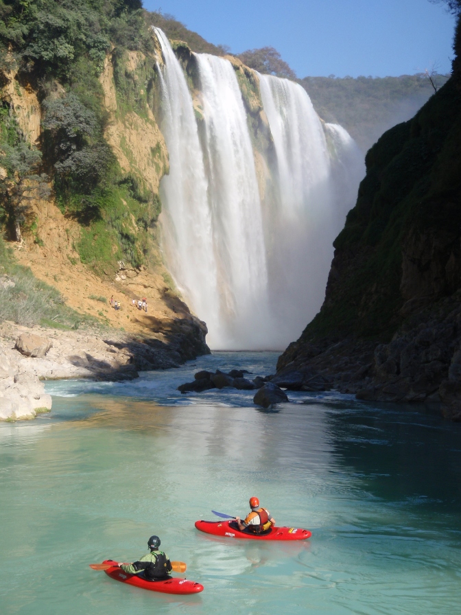
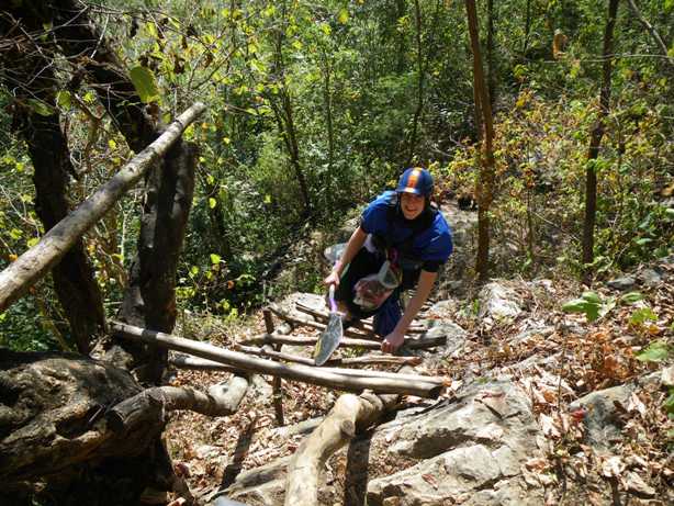
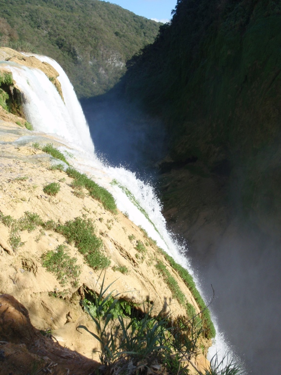
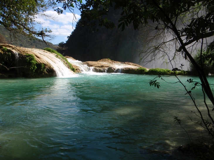
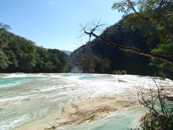
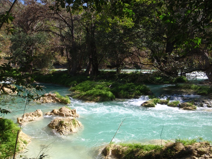
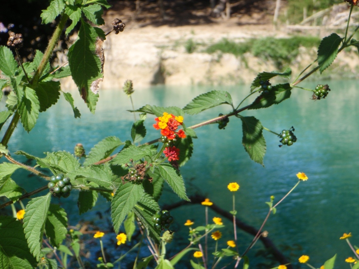
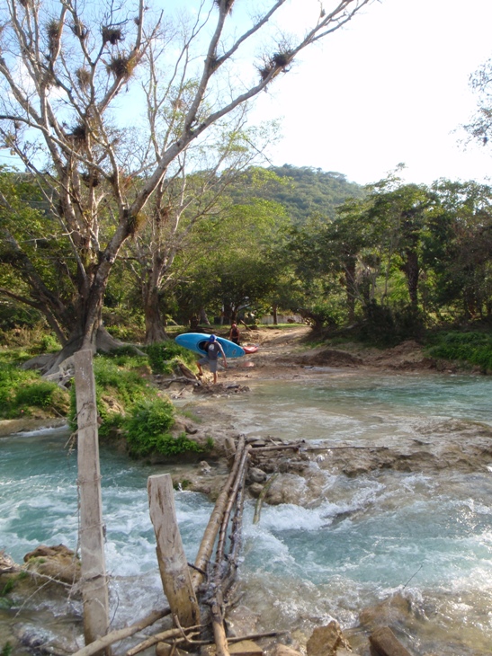
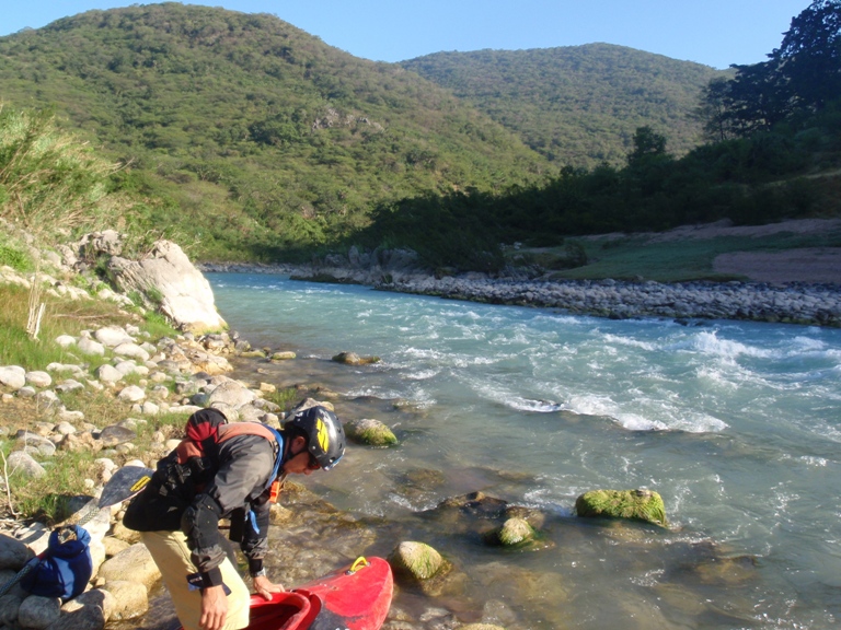
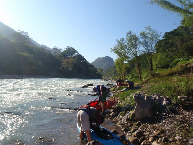
So, the river itself was a bit of work, with lower water I think it would have been a bit better, but regardless this river was awesome. Beautiful blue water lined by sandy beaches and green forest. And then the grand finale is at take-out. As you round the corner and you see the 360 foot Cascada Tamul poring over the cliff side and into the river you will be awe struck, guaranteed. Then the reality sets in though that you have to climb up the ladders to the top of the falls and then about 1 km up the Rio Gallinas to the cars. I still thought it was worth the effort though. I don't know if the river guides feel the same doing it every week, but for a vacation trip it was awesome.
Bring a rope to rope your boats up the main cliff face. You need about 100 feet. Otherwise you have to carry your boat on your shoulder up the ladders which quite frankly surprised me by holding my weight without a boat. The few broken rungs reassure you in the engineering put into the branches 1-inch think that you are standing on and preventing you from falling 50 feet off a cliff.
For some more great photos, check this website out: Sierra Rios
Mi 0: Mi 1:
- The Squeeze (V). the first portage comes near the end of the first canyon. It is easy to spot as it is the only horrible looking drop. There is plenty of time to get to the left shore and walk around it. The walk is due to sieves, a tree, and two undercuts.
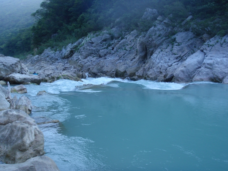
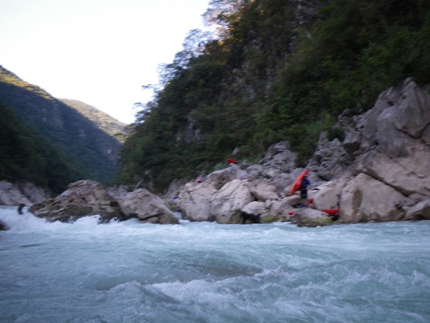
- Palenque (IV-). I give this one a IV- because of the hungry undercut rock that may have been sieved on the left. The lateral hole above it wants to feed you to it if you are not driving right.
Atoradero (III). At low water this is a portage due to the water going underground. At our flow there were several door to choose from, we went right, down a narrow and short drop.
At mile 2.3 the canyon ends and you get scenic flats for an hour and a half or so.

- Triple Threat AKA "El Portal" (V). Three drops all of which didn't look great. The first one I only say from the approach which we side stepped down the right side to a good portage eddy. The second had a few doors, only one looked survivable without some luck, but even that one has killed two boaters in recent years. The final hole was big but looked manageable to boof over.


Gavilan (IV). A short S-turn that was blind until you entered. You want to end up right. there is a pocket eddy eating everything that enters to far right. Backed up by a rock creating a large cushion in the middle. Ride the cushion up and around the eddy. One in our group went left and it looked ok, but I am sure there was a reason why the beta said to avoid that side.

- Ultimate Gritto AKA "The Last Hurrah" (IV-V). The high water made the exit hole (called the "Lottery") horrible with no straight forward exits. We decided to walk on the right.


The Maze (III-IV). A long series of rapids. All were read and runnable, be aware though, there are some bad siphons in there, so don't just venture down channels. We ran a few feet from one that was hidden from above. We had scouted from an eddy before hand so knew it was there, but could be bad if you weren't aware you HAD to boof the rock near by.


Huesos (IV+). A nice long big rapid. You will notice that the upcoming horizon is bigger than the maze rapids. Hope out and scout, we did so on the left. We ran down the middle boofing the entrance and running the holes on out.


Koko Wash (IV+). A short and very steep drop. Some ran the left channel down the right into the hole which flirts with sieves and a large undercut, others ran down the left side of the left channel which had a nice ramp and as long as everything went right didn't flirt with a different house sized sieve.


- Sunset Falls (V). We walked it, we say a potential entrance point, but from there, there were huge holes with rocks in the cushions. We walked on the left.

Numerous fun class III rapids continue to take-out.

Take-out: 5 km past the Tampaon Put-in turn off of Highway 70, turn left at Tanchachin sign (29 k from Ciudad Valles). Then again left at the sign to "Tamul" painted red on the cement wall. Continue down to the Rio Gallinas and park alongside the end of the road.
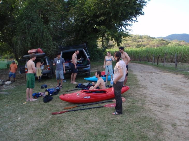
Put-in: Much harder... Use the GPS map and markers to get there. I don't have mileage right now but here is the gist. Also I should state, we had a shuttle driver so we got to sleep in until 5 am to get started. Without the shuttle driver, you would need to set it all the day before or camp at take-out. Who knows how safe that is.
-
~39 km from Micos, At Cruce de Puentes sign turn left off of 70.
2 Y's, stay left at both on the main road.
Right at T just past the brick factory.
Left at the Y
Straight through a T
Right at a Y to a blue gate
Left at a T to a red gate
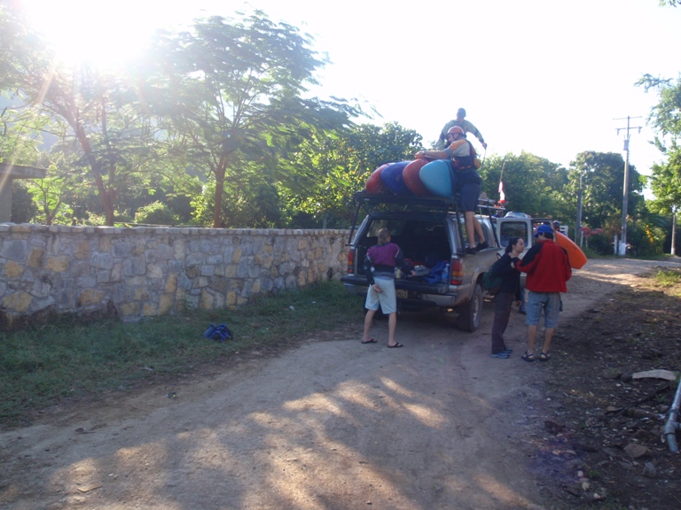
You drive over a large tributary, we changed here since put-in is in the middle of town.
Right at the T
Left at the Y in town. At the next T in town there is a path to the right of the house you would hit if you down turn. Good luck.


View Rio Santa Maria (3rd and 4th Canyons) in a larger map
HTML Comment Box is loading comments...

