South Fork of the Yuba River (Summit)
| Stretch: | Kingvale to Cisco Grove |
| Difficulty: | Class IV+ (2 portages/V+) |
| Distance: | 5.2 miles, one day |
| Flows: | 800 - 1500 cfs (3-27" on S. Yuba bridge). Current Dreamflows gauge |
| Gradient: | 69 fpm |
| Put-in: | Either of two Kingvale bridges, (IV at 2nd) |
| Take-out: | Frontage road near Cisco Grove exit off I-80 |
| Shuttle: | 6 miles (10 minutes) |
| Season: | Spring from snowmelt |
| Written: | © 2005 & 2008 |
| Featured in Video Twenty-Seven | |
This run is not remote at all, through its entirety there are roads nearby, either Donner Pass Road or I-80. To some this may detract, however it is nice when it comes time to scout the three most difficult rapids on the run. The run can be made a mile and a half longer, but for most this would add only one runnable rapid and two portages. If taken with two portages it is only class IV+, with out any portages it is a very strong class V (at least at the very high flow I was there for). Driving from the take out on I-80 towards the put in you can see the last two portages, the first of which is located under the bridge. You must take the frontage road in order to see the first two portages, which come one after the other. It should be noted though that both of my paddling buddies ran both of the rapids at 23+ inches.
In all, I found this run to be very enjoyable. The rapids were steep and challenging. The first two snuck up on us around corners and probably should have been scouted. The last few we got out easily to scout.
The gauge is located about 1.2 miles downstream of Kingvale on the bridge/damn on "S. Yuba" road off of the frontage road. On the I-80 side on the inside of the footing there is a metal meter stick, the reading is taking from here.
Although I recommend putting in on the tan concrete bridge to ensure a warm up, I am going to start the mileage count from the gauged bridge which is where the first significant rapid is. There is also a nice turnout below Kingvale just near one of the highway exits that allows for a warm up but not as much class I as the bridge in Kingvale.
Also, there is a new dreamflows gauge which has flows at Cisco, we got on at 550 cfs my second time and thought it was too low. I would wait until flows were 800-900 to go back, at 550 some of the drops were pure boat abuse so we walked them... it also didnt help it was 40 degrees with 30 mph winds, but that is a different story. Just so you know. The first time was a bit different at ~1,500
I went back in a few years later at a lower flow and found the run not nearly as run and much much easier. We had 550 on the dreamflows gauge. I would wait for more water than that to go back.
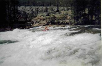
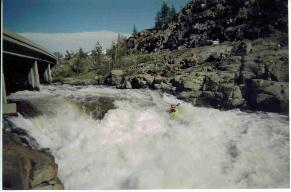
The digital pics are from the low water, the scans from a waterproof disposable camera (remember those?) are the higher flow...
Mi 0:
- Hansel and Gretel (IV+). I am sure this rapid is a lot different at lower flows. At
our flow (23") the rapid was run down the left side which was a slide. The right
side had a big hole. The rapid continues for the next 1/3 of a mile, all visible form
the bridge itself. It consists of holes which are fairly easy to navigate.
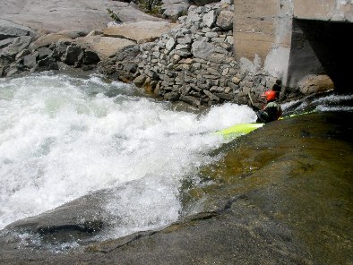
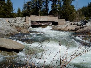
First Rapid (IV- to IV+). Somewhere near the end of a mile, this rapid is on a little bit of an "S" turn. At our flows, there was a large green lateral pushing into a hole on the left. I rammed the green water, planting my bow within it. This shot me through the section and into the huge waves behind it. At the bottom awaited a monster hole which surfed me for about 10 seconds before I worked my way off of the corner.
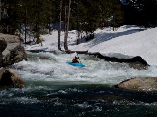
- Second Rapid (IV- to IV). On a sharp left bend, the river narrows. The river right seemed
to have a subset channel so I boofed onto the pillow on the left. I then dropped into
the river right sub set channel near the end of the pillow.
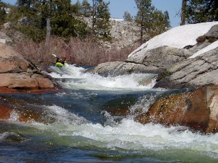
Righty-O (III- to IV-). The river splits around a large island. To the left is a four to five foot boof on a right turn into a somewhat narrow landing. We stuck to the right side, which reportedly has a rock deep in the landing, hence boof is suggested. However at high water, Paul and I didn't boof well and found no such rock. The right channel around the island also looked like a runnable drop similar in nature.
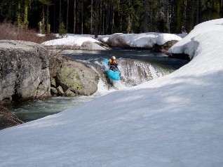
- Cataract (V to V+). The river splits around a large island. The left is nasty all the way.
The right can be done . Enter the slide avoiding going left down the entire rapid.
Avoid the pin rock half way down the slide. Straighten out for the six-foot pinch
drop, then run the final hole which is backed up by a small rock. A partial Portage of the top is
also possible making the rapid much easier. Portage/Scout on the right.
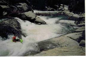
Rainbow Rapid (IV+ to V). This is a very long rapid. Again, the river splits around a large island, and again the right is the side to run. It starts with a 15' drop followed by a very short calm section. Next, is a white section followed by a large hole, safety should be set up here. The hole is sticky and a swim below would be very bad. Next is Flake which is a 3-4' boof on left. The next section may not be runnable at low flows. You must get all the way left around the center rock, and drop around it over the 4' drop. To finish off go down the left channel of the right channel. Scout from island or road.

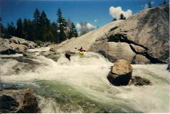
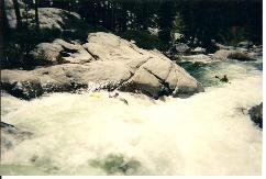
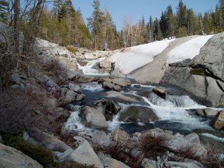
- Double Drop (IV to IV+). A two tiered granite formation creates this drop. The far left has a
nasty looking hole/strainer/landing rock. The right is shallow and would most likely
result in piton. The center is the way to go. We entered center with right momentum
to scoot behind the right's side hole. Half way down I nailed a rock with the side of
my boat. This may be the rock which has pinned many a folk.
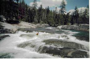
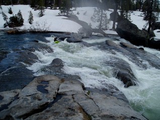
Tombstone (IV+ to V). This rapid was the most difficult rapid if not running the class V+ rapids. There are two lines which seem runnable. End far left and boof the flake or end immediately to the left of the bottom (Tombstone) rock. The left route was not looking good as the water rose. Therefore we ran the left of Tombstone line. Paul entered on river left and used the boof rock located half way down the rapid to sneak away from the corner of the hole. The corner of the hole looked like bad news; however, the entire right side of it seemed to flush you out nicely behind Tombstone rock. I opted to run the river right boof entrance, immediately above the Tombstone then set up for my boof. Don't go right of the rock because is supposedly has a rock landing.
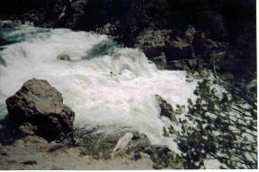
- Grater (IV-). This is a 30' ramp/slide. We ran it on the right which was shallower but
didn't have nasty looking rooster tails being spit up from it. It is a fun rapid but took
a toll on our boats. At the end of the slide is a little ramp to shoot you up 4 or 5 feet.
Easy stuff from here to the take out.
Take out: From Interstate 80 East take the Cisco Grove exit. Follow the frontage road on the north side of the river, part near a power line in a gravel turn out just past an abandoned brick structure.
Put in: You can either hope back on the freeway or take the frontage road upstream to Kingvale. I recommend the frontage road as you can road scout the biggest section. Put in along this road at the Kingvale Bridge or off of this road downstream of Kingvale 1 mile at the S. Yuba Bridge.
View South Yuba, Summit in a larger map
HTML Comment Box is loading comments...
