South Fork of the Yuba River (Purdon's)
| Stretch: | Purdon's Crossing to Highway 49 |
| Difficulty: | Class V to V+ |
| Distance: | 4.0 miles |
| Flows: | 450-3,000. (Most folks will say 750 to 1,500, but it has been done plenty of times in the extremes). Current Dreamflows gauge |
| Gradient: | 118 fpm average |
| Put-in: | Purdon's Crossing near Nevada City |
| Take-out: | Highway 49 Bridge outside of Nevada City |
| Shuttle: | 11 miles (25 minutes), with a few miles on not great dirt |
| Season: | Winter and Spring, rain, snow, and dam release |
| Written: | © 2014 |
| Featured in A Wet State #85, David Maurier's Video, and Josh Bruckner's Video | |
Well... it took me an embarrassingly long time to get the courage to do this run. I remember back when E to P was new to me, taking out and being scared and intimidated by what reportedly lay downstream. One time, as we were setting our shuttle a group was putting on, I remember being in awe as well as thinking they must be crazy. I think it was these early impressions that kept me off the run for so many years. I have a poor head game, and despite having done Golden Gate for over 5 years now... for some reason this one eluded me. Don't get me wrong, I had plenty of opportunities... Darin and David both offered to show me the lines on many occasions. I just always said no thanks and came up with one partial truth of an excuse or another.
But what are you going to do when you get news that you are moving out of state for three to four years. You realize you no longer can say, "next rain," or "next year," or "eventually." So as this weekend came and the rain was falling, without hesitation I mentioned it to David and he rallied a crew to enjoy the river with.
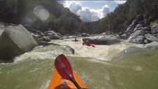
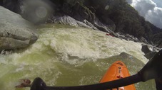
The run starts off with some class III to IV before stepping up to class IV+ over the first mile. Around mile 0.6 it enters a short gorge with a few fun rapids before dropping into a large pool above the first sneak (or class V+) of the day and the start of the hard stuff. From there a handful of busy but still relatively mellow class IV to IV+ rapids lead to the dam drop which you sneak on the left. Below that, the run is game on... from the moment you land until you reach the pool below fight club, breaks are only available via eddies. Not far below the dam is another river wide ledge that you do not want to be left on as it melts into a sieve. Below the river picks up, stacking up steep drop one on top of the other. Imagine the first mile of 49 to B, but instead of single moves, they are all double or triple move rapids, and all taller... but linked up just that tight. As the river bends to the left you begin your final push to take out. A funky drop that caused one in our group to look foolish (me) and break the cardinal rule of Purdon's... don't swim. Luckily I flushed into an eddy and my boat found a sieve large enough to squeeze through before being ushered to its own eddy, directly at the lip of Fight Club. Below Fight Club is the first big pool in over 2 miles. But the rest is short lived as you quickly approach No Looky before rounding the corner for the final straight away to the take-out bridge and one last sieve to avoid. No shortage of action on this one. My arms were beat after and I almost withdrew from continuing down to Bridgeport. But thankfully I didn't as that proved to be fun as always with my group of good friends.
So, this run is hyped up a lot. I thought it was pretty similar to both Bald Rock and Golden Gate... except those both have the handful of very large rapids. I didn't feel anything other than No Looky (at this flow at least, and of course main lines on two that we and many others sneak) was on par with the big rapids of Bald Rock and Golden Gate. But the run in total, all of the rapids, the pace, the steepness, the power of the holes, the quantity of sieves were all on par. In the end, I feel like although it takes the same difficulty as the other two, perhaps this one is just a notch easier if for no other reason than the fact that you are no super remote. You could escape except in a few spots in between stacked rapids. A final thought, lots of folks talk about how the run is not that much harder than 49 to B, just more dangerous and more continuous. I would agree that at 900 cfs Purdon's was not too much harder than 900 cfs on 49 to B, but also point out that the hard rapids in the 7 miles of 49 to B can be packed into the 3 miles of game on in Purdon's. I would also emphasize that the sieves are very real, it is not the place to be out of control or pushing it. A swim is likely very dangerous and you should expect to lose your boat. Also, this impression is all based at the easiest flow... at higher flow I am told it is super juicy and therefore that much more dangerous.
OK, a final thing... I am in no way writing down all the rapids. There are a lot. And most in the crux section are blind from above. So either give yourself plenty of time to scout or go with someone who knows it. Also, I thought 900 was a great first time flow. It doesn't feel like 900 as much of the water is in sieves underwater. Though the holes still packed a punch so more water would make it harder. Lower similarly would become rocky quickly. Although not many of the rapids are rated as class V at 900 cfs in my mind, the run nevertheless still felt class V and that was with folks showing us the lines.
Also, Darin has some other photos here. Though his photos are all of rapids that most sneak (in 2014).
Mi 0: Mi 0.6:
- More Warm-up (IV to IV+). The warm-up then gets a little harder. This section is in the first granite walled in gorge. Super pretty. It is pretty straight forward and obvious where to go. It empties into a pool on a right hand bend.
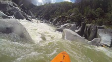
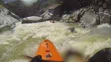
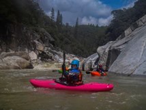
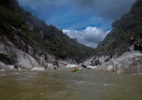
- Sneak Left #1 (IV+ to V+). On the right hand bend is a very large rapid which can be run in the main channel, though very few do. Most folks will sneak into a micro channel amongst the bushes on the left. From the eddy that that drops into, you run the left side of the main flow, staying along the shore the whole way.
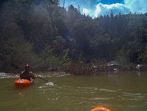
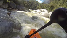
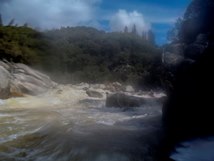
Some Fun Boogie (IV+). Some great boogie with boofs and holes to punch.
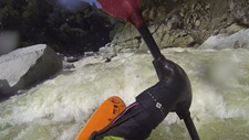
- Dam (IV+ to V). There is a line on the right that has been run, but I think perhaps only a few times. The rest boof the dam in the far left spill channel. Below the dam you enter the crux mile of the run.
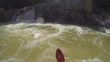
Dam Run-Out (V- to V). Below the dam is a long series of big holes. We generally stayed right on all of them. Careful in this section, at the end of the straightaway is a large sieve which would be disastrous for a swimmer to go into. And the holes in this rapid are known for causing swims...
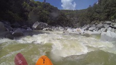
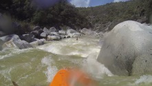
Get Center (IV). This is a super high stress class IV that ends the Dam Run-Out. A large boulder in the middle of the river deflects the water left into a large and ugly sieve, and to the right into the wall with deep pockets. Just drive center straight over the shallow rock.
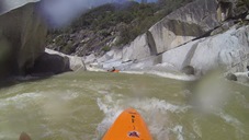
- Get Left (V- to V). The middle of the river is ugly. Start right and drive all the way across to the left wall across the top of the rapid. Exit on the left wall. One small hole awaits just downstream.
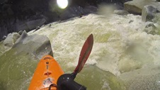
Left Eddy (V- to V). Again starting far right, drive all the way left to catch an eddy. From the eddy, drive back across as hard right. If you do not catch the eddy, avoid getting pushed left as the rapid turns as it sends you into some ugly celebration rocks.
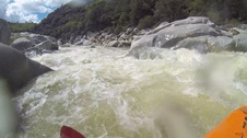
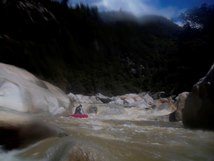
The Crux Section (V).
- I thought this next section felt like the crux of the run. Stacked up rapids one after the other.
First was a mandatory sneak/portage. Sneak far left in a trickle of a micro channel
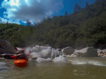
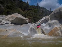
Second was a funky tongue moving left to right to a broken boof.
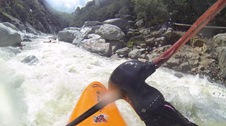
Third was a boof (middle going right) to some holes.
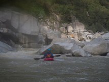
Fourth was another sneak around what used to be a good boof in the middle, now it is smaller boof down a small channel on the left. From there the flow re-enters the main channel and you punch some holes generally down the left. Either head right or eddy out left and ferry back to the right.
Fifth was a wall smear down the right shore. This apparently gets mean high.
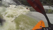

- Get Right (IV+ to V-). The river opens up a little and a shallow rapid takes a sharp right. The current splits around a narrow rock with most of the current pushing into the crack. It goes but is not ideal. You want to be to the right and boof two holes.
Stay Off the Wall (IV+). A straight forward rapid run through a few holes down the middle. The right side forms a pour over that pushes flow into the left wall. Apparently this spot is a little notorious for causing swims. At 900 cfs it was an easier rapid.
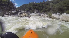
- Book Club(V). A ramp down the middle with a large and in play sieve on the left. Punch the hole that feeds into the sieve. Or flip and hit a bunch of rocks and pull despite the strong recommendation to not swim on this run... then watch as your boat drops through another downstream sieve while panting in the eddy that you luckily popped into. Your call.
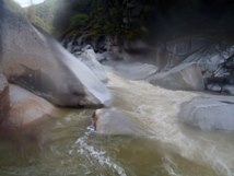
- Fight Club (V). There are two ways to enter. One enter through the meat of a few holes down the left. Or enter on the right and ensure you are in control at the crux. The crux is a boof on the left side of the main channel. Land poining left as the water immediately hits a flat rock that has a nasty pocket. I ended up splatted in there for a scary moment before flushing. Luckily there is a small channel between that rock and the shore that did not end in a sieve. For those that land correctly you go around the rock to the left and boof the bottom hole in the middle.
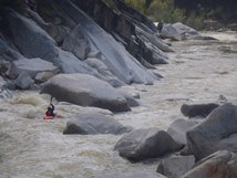
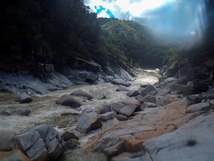
- No Looky (V). After a quarter mile of mellower rapids you get to the last real test. It looks horrible. One in our group who had done the river a bunch of times motivated some of us to join them on a quick portage. Others ran it. It is a steep drop into a powerful hole that then hits a rock. It flushes you out but pretty lines weren't plentiful. Downstream is a mellow section of rapids leading to the final few drops leading to the sieve under the takeout bridge.
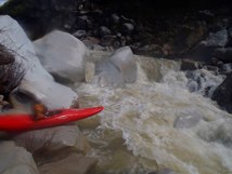
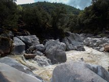
- Bridge Sieve (IV+). OK, so this rapid is commonly portaged, though it isn't overly tough. It is just very consequential with 90% of the flow going into sieves that have killed numerous swimmers at summer time flows. Scout from take-out. Portage right with some effort.
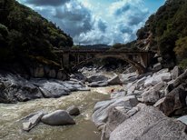
Take out: From Nevada City, take Highway 49 towards Downieville for 6.8 miles to the bridge over the river. Parking is on the near side.
Put-in: Continue on Highway 49 for 3.7 miles. Turn right towards Malakoff Diggings on Tyler Foote Rd. Continue for 8.1 miles and at a small store, turn right on Grizzly Hill Rd. Stay on the main road for 3.1 miles. Then drop down on a dirt road (actually still Grizzly Hill) which quickly hits the dirt road, North Bloomfield. Go right and follow this 1.5 miles down to the river.
HTML Comment Box is loading comments...

