South Fork of the Yuba River (Edward's to Purdon's)
| Stretch: | Edward's Crossing to Purdon's Crossing |
| Difficulty: | Class III-IV (-V above 3,000) |
| Distance: | 4 miles, short day |
| Flows: | 400-?. Current Dreamflows gauge |
| Gradient: | 65 fpm |
| Put-in: | Edwards Crossing bridge |
| Take-out: | Purdon's Crossing bridge |
| Shuttle: | 13 miles, dirt, 30 minutes 1 way |
| Season: | Winterand Winter, damed |
| Written: | © 2006 |
| Featured in Video One, Four, Twelve, and Fifteen. | |
A day after running this run my memory has already started to fade of it. This may be due to being upside down more than upright, or it may just be because my memory is turning into my dad's, who knows. I would like to think it is because of paddling my brother's playboat which I am much too heavy for and stern squirting it through nearly every rapid in the first mile and a half. This resulted in some 6 flips in the first mile alone. Much of this run is also boat scout able for a first run, we only got out a few times to look. With that said, the rapids are going to be very vague as to placement and order. Actually, I have run it a few times since I first wrote this, and the rapids are now all in order.
Also, thanks to Steve Schmitt for sharing some photos from one of our days on the water. It only took me 3 years to finally get some photos up from this run and I end up with two cameras worth... sweet.
Mi 0:
- Put in (III-). The rapid at the put in has a curler wave. I entered fairly far right
and went left into the curler. The run out was fine, the left runout was shallow at
800 cfs, a hole at the bottom on the right got Diane stuck while trying to play.
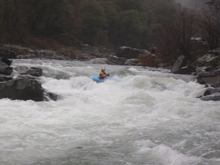
Flip Twice(IV). This rapid has a small lead in to a steep boof rock in the mid channel. The rapid then continues for a hundred yards or so. There is a large hole in the center left side. An eddy on the right at the bottom.
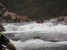
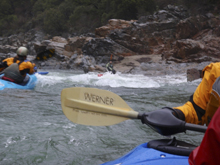
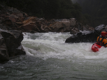
Minor Boof (II+). A number of choices on a boof, some more difficult, perhaps holes at higher flows.
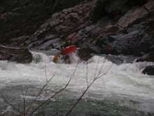
- Embarrassment (III). A number of chutes to choose from. The right side appeared to go.
We boofed off of the left. Note, there is a pocket eddy which is undercut on the left
after this, there are also two sucker holes which I found and notched up flip 5 or so
for the day in. The undercut could be more serious. At 800 cfs the boof was easy,
flipping could have been bad. Scout on the left before perhaps like we did.
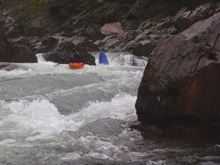
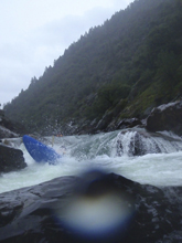
There are several rapids that are class III or so in the coming half mile before easy ugly.
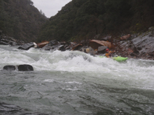
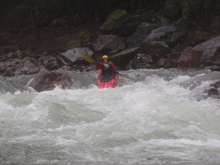
- Easy/Ugly (III+ or V). Not especially difficult, but a long rapid which we scouted
since it becomes blind after the entrance. There is an eddy on the right above the
entrance and below the entrance. At low flows you can run the entrance on the left
cutting to the right above the actual rapid. At higher flows this move becomes more
dangerous as the current pulls more to Ugly, so sneaks appear on the right. From here,
there are three channels to choose, left goes so I have heard, but never run. Center is
Ugly, class V. and right is Easy, which is just that, relatively not hard. Move right
in front of the mid-stream large rock, then head down and either cut left or right of the
flake rock at the bottom. The rapids have a new style from here on out.
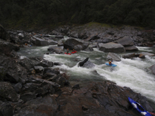
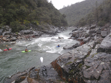
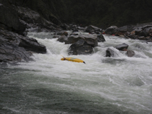
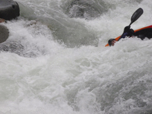
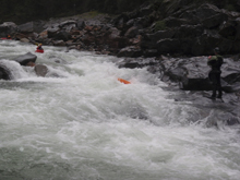
Post Easy/Ugly (IV). I don't even remember this rapid on the first run. Second time down it was bigger and more memorable. The rapid has two holes offset on the center left. Then there is some run out over a rock shelf. I remember it now due to the bruises that I had all over my body after flipping in the second hydraulic. Best line is down the left cutting in after the holes.
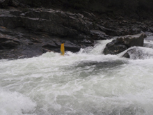
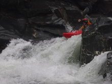
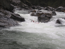
- Pre-Dam (IV). This rapid is long, we started on the left and worked out way right to
avoid some rocky hydraulics. The run out has two large lateral holes formed off of granite
flakes. These rocks are shallow and Aleece hit her head good. The first one has a weird
pocket circulations, so hit it a bit right of center or avoid it right all together.
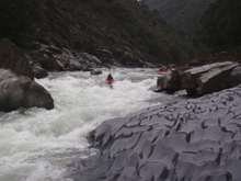
Dam (III+). Another rocky rapid with numerous holes, most of which are avoidable. We ran to the right of center on the turn to avoid the wall and some rocky looking spots.
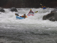
Few Choices (IV). An easy lead in to a medium sized boof. The boof is located on the far right and is visible from above and can be eddied out directly above. The rock looks like a camel hump sort of, boof just to he right of the rock, give some left angle on the boof for the turbulent landing. There are numerous lines down this rapid actually, the middle looks bad though.
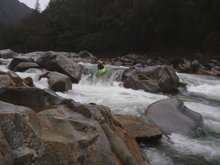
Last Big One (III). The last big one is run down the left cutting back to the right. Try and stay off of the left wall.
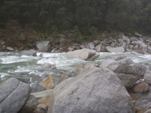
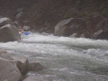
From here on out it is class II-III- easy to read while running.
Take out: Take highway 49 towards Downieville from Grass Valley. At the first light after the turn off of 49/20 turn right. This is North Bloomfield Road. Take to the top of the ridge (maybe a mile). Turn left at the "T" intersection and descend 7 miles to the river, parking is on the far side of the bridge. The last mile or so is dirt, not bad, but not great either.
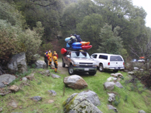
Steve's car held 10 kayaks, a small raft, and 12 paddlers and their gear.
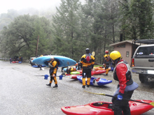
Put in: Go the opposite way "T" (straight now that you are on it) and descend 6 miles to the river. This road is paved in its entirety.
View South Yuba, Edward's to Purdon's in a larger map
HTML Comment Box is loading comments...
