South Fork of the Yuba River (49 to Bridgeport)
| Stretch: | Highway 49 to Pleasant Valley Road |
| Difficulty: | class IV+ to V |
| Distance: | 7.0 mile |
| Flows: | 450-2000 cfs. Current Dreamflows gauge |
| Gradient: | 90 fpm |
| Put-in: | Highway 49 Bridge |
| Take-out: | Pleasant Valley Road Bridge |
| Shuttle: | 13 miles (20 minutes) |
| Season: | Winter and Spring, rain, snow, and dam release |
| Written: | © 2006 & 2013 |
| Featured in A Wet State and Darin McQuoid's contribution to World Kayak's Video Guide | |
| Featured in A Wet State #85 | |
Update 2013: OK, so 6 years have passed since I wrote that first write-up for this section... At the time, it was one of the first real class IV-V runs that I had done. I think that is reflected in the fear and overall distaste of the sieves as well as the statements of the rapids being steep and junky. Now that I have better perspective, I think I will reflect and call this a classic. At low flows (450-750) the river can be a bit manky, but still very fun. At medium flows, it begins to clean up nicely, filling in many rapids but in exchange many holes are made larger. At the higher flows, it becomes legitimate class V and could not possibly be mistake as junky. The sieves are real on this run though. But taking your time to scout, or going in with a group of folks who know the run quickly relieves this concern. These days, this run is one of my favorite runs in the state. good scenery, great rapids, easy logistics, and a close proximity to Sacramento make it a go to destination for me on a regular basis.
Update 2019: Please be sure to read the update to Corner Pocket description.
------------------------------
So I had long heard of this run from my friend who introduced me to boating rivers harder than class III. His version of the river was that he (who is a really solid boater) was freaked out on the run and vowed to never do it again. With that said, I was hesitative to get on the run. Earlier this year (2006) I had the opportunity to do the run at a flow of 1,600 cfs and with a crew of class V+ boaters, many of whom were planning on running the upstream class V+ Purdon's section of river. With that in my mind I had the vision of these guys telling me "It goes on the right" and bombing down massive rapids and me getting worked. Therefore I made up a nice excuse to get out of the trip which set the blame on my girlfriend instead of my plainly not wanting to do the run at that flow and with that caliber of boaters. So, seven months go by and the winter rains have begun, and with the second December storm this run came in. Plans were put in place early in the morning and a group was formed with Shackleton and Tupper to show Diane and I the lines.
The day was sweet. This run is a step up from Burnt Ranch contrary to what Stanley and Holbek says. The biggest rapids tended to be clean, but the things in between was filled with junky steep drops. To make things worse the day I did it, rain had made the water brown, allowing the rocks to lay hidden just below the surface, ready to toss you off balance and to greet a head which may be underwater. Well anyways, great run, great drops, lots of challenges for the class IV-V boater.
Finally, although the river is all pool and drop, there are just so many drops on this run, far too many for me to recall all of them after only one run down the run. Many I do recall, but can't remember which order they were in. So, the rapids listed are basically the biggest, and should be in the correct order. Furthermore, apparently the lines change drastically at different flows. The lines below are the ones we took at 600 cfs... keep that in mind. In conclusion, I know plenty of people who have run it without an experienced hand to show them the lines, however they all have stories of beat downs in large holes. With a guide, it took us about 3.5 hours at a leisurely pace. Without a guide depending on your level of comfort with probing and boat scouting, it can take 6 hours easily, plan accordingly.
One last thing, although there are not too many rapids I have rated as class V, the nature of the run is continuous and with heavy consequences. Almost the entire run is badly sieved out and a swim would be horrible. Therefore, although most the rapids are only class IV to IV+, you can not be willing to take a swim or you will not be having a fun day. Also, these ratings only pertain to the low flow which I have run it at thus far. At flows over 1200 I have been told it gets stompy quick.
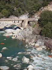
Thanks to Darin McQuoid for his contribution of photos.
Mi 0:
- The action starts immediately. This first section is the most continuous in nature and leads up to the mandatory portage. To make matters worse, it is completely sieved out. These two facts result in slightly harder ratings than the rapids skills require. Luckily the three sets of distinct drops are not that hard, thus mistakes should not be made. If they are being made, I would give serious consideration to not going down past the gauge as the rapids pick up in difficulty further down.
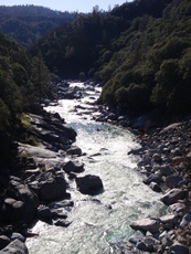
Hug Right (IV). A simple lead in, work right and drop into the sizable hole at the bottom.
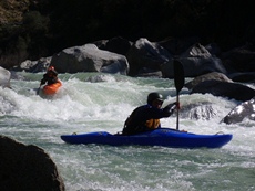
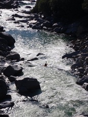
Airplane Turn (IV+). A channel on the left shore airplane turns into a hole. The hole is rather large and this would be a very not pleasant place to swim.
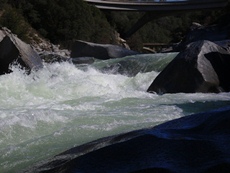
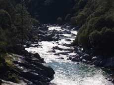
Ramp (IV-). Down the middle, off the flake and over the hole.
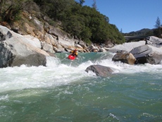
Right then Left (IV+). From the eddy ferry across the river to the right and eddy out again. Now ferry back across the river just below the turn and run the chute on the left. The chute on the right is sieved out. If the shit hits the fan, I was told the right shore can be banged down.
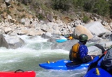
PORTAGE (U). The portage is ugly looking at 600. No clean lines, rocks poking up, sieves, more rocks etc. Walk it on the left. You will see a little stream leaving the main river to the left, get out here. Walk down to the little pool in the stream. Get back in the boat and ferry across the river (at water over 600 you can just bang down the little stream). Get out again and carry down to the bottom of the drop. Scout and/or portage Mr. Squiggly from here. Update 2014: Times change, people regularly run the left channel around the meat of the rapid now. Though it does need >900 cfs.

Mr. Squiggly (IV+). At the low flows, the entrance to this looked nasty, and there was a log sticking up on the right, and the rocks were shallow, so three of the four in my group walked in, afraid to ruin our day before it even started. The line is down the center right over the curler, then shooting into the two holes below. Brian ran it without incident. With a little more water, it looked much better and we all ran it easily enough. Update 2018: The floods last winter have caused major changes that are still playing out. Scout before running.
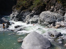
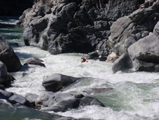
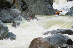
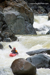
Right of Boulder (IV). A large midstream boulder separates the river, to the left is junk. Run to the right of the boulder and work your way through the holes.
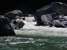
- The canyon opens up and you see the gauge on you left.
- The first gorge begins and last for about 2 miles.
Slide Boof (IV). The first major horizon line you come to marks this eight foot drop. It is one of the best on the run. There is a ramping tongue on the left side of the midstream boulder. Hug the right side of the left channel. You will then paddle onto the flake boulder and slide down it and boof off. Super fun.
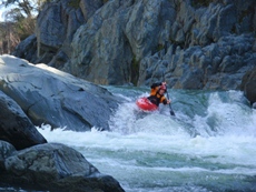
Drive Right (IV+). A simple rapid consists of one feature. On the left shore there is a chute. Drive left to right as hard as you can across the chute and over the eight foot drop. If you don't drive far enough right you go real deep as the water on the left folds over you.
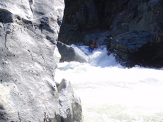
S-Turn (IV+). A very large s-turn, don't be tempted to boof the end.
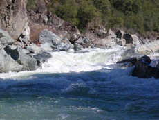
Rock Garden 1 (IV+). A junky rapid, you can run the center chute driving hard left to avoid the several rocks below. This leads directly to Tower.
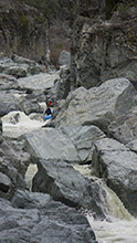
Tower (IV). A sweet boof, enough said.
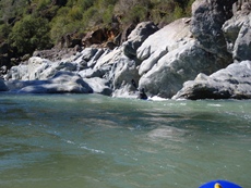
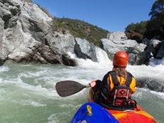
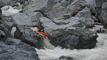
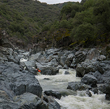
Waterfall (IV+). A very impressive drop, this drop would be rated harder if there was anything besides the actual waterfall to negotiate. Instead there is a nice eddy below on the right for rescue. The main part of the falls in on the left, and goes into a nasty hole. There is a midstream bolder, apparently you can ski jump the submerged rock just to the left of the midstream boulder. The more common line is on the right. When you scout the rapid, you will think this is nuts, however it does work out. The idea is this, there is a boof rock in the right channel. Hit this and take aright stroke to insure that you land perfectly sideways at the bottom of the falls. From here paddle out of the crack you are in. If you don't boof side ways, you will hit rocks and be in pain. The drop is some 8 feet and the best drop on the run.
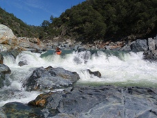
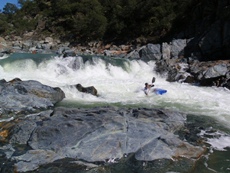
Rock Garden 2 (IV). Enter the rapid and take a boof off the center left pour over. Be careful because there are submerged rocks below the surface. Read and run the rest.
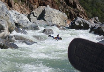
- Somewhere near mile 5 the second gorge starts. It continues for the next mile and a half or so.
Rocky Falls Etc (V). This two tiered drop is a serious rapid. The entrance is a very rocky falls which is taken down the left channel on the right-ish side. At 700 we ran an entrance further right which had a nicer boof entrance. The river then turns a little right and then drops off a shelf into many large holes. Just above the turn there is a eddy on the left. You can eddy out here, and then ferry across the river to run down the right of center side and drop into the three or four large holes and curlers. There are sieves throughout the rapid. Not sure where to scout or portage from, maybe left. At higher flows you paddle like hell away from the right at lower flows you paddle away from the left due to sieves.
Hump Slide (IV+). Easy rapid if you make the move. From the right, paddle all the way across the river above the lip to where there is a shoulder forming off the left shore. Paddle up and over the shoulder and ride the slide behind it. If you don't make it over the shoulder you get moved right into massive holes against the rock wall, would not be fun.
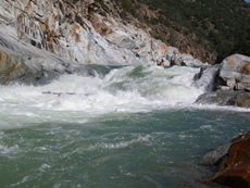
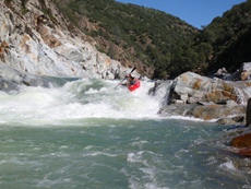
Double Airplane Turn (IV+). An airplane turn right then an airplane turn left. Eddy out on the right or left just below. Mere feet below this drop comes Eat the Meat. Basically a continuation of it, so don't feeble it unless you want to run Eat the Meat blind, this is why it is moved up in rating with the "+." You can catch the eddy on the left to scout Eat The Meat.
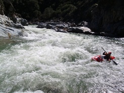
Eat the Meat (V-). At the low flow the hole at the bottom wasn't sticky, therefore it isn't class V, at higher flows it is upgraded. The idea is to enter on the left and begin to head right. There is a large hole in the middle which you want to be heading right through. Just below this hole the river bends left and slides into a huge hole. Power across this slide to the right and skip around the hole.
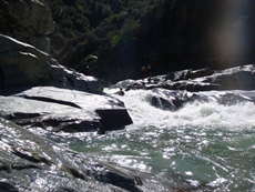
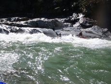
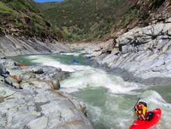
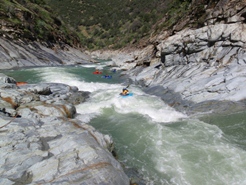
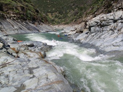
Avoid the Holes (IV-). Easy enough rapid, just avoid the holes on the left and the middle. Stay right.
Corner Pocket (V). Marked by the first horizon line after Eat the Meat. There is a one boat eddy on the right bank from which you can get out of your boat and scout or portage. It is a last minute eddy, and it can't be seen except from the center of the river above the rapid. The rapid has a tricky multi folding hole entrance, followed by a rocky and turbulent middle section. Then the river shoots right and drops into a nasty hole against the wall. Many people have dislocated shoulders fighting this hole. Then to make it worse, the flow makes a ninety degree turn and within a second is on the left bank, slamming into an undercut wall. The wall is a serious hazard and should be taken into account when setting safety. People have gone into it and popped up well downstream against the wall, long after initially disappearing. Update 2019: Well, sadly, something changed in the rapid and now has made the normal line against the right wall more dangerous. Regretfully, the consequence of the change was not understood until our friend Sean Manchester paid the ultimate price on Sunday, March 31, 2019. A quality man who will be missed by our community. Brad Brewer provided the following update to the description: The current that historically pushed into the undercut on the left is now directed toward the right side corner pocket below the bottom hole. This has created a very dangerous whirlpool in the right side corner pocket. Running the rapid in the middle or right side pushes you right against the wall and into this pocket. The strong cross currents in the whirlpool are difficult but manageable to navigate while in the kayak but would make it very hard to roll up if upside down and impossible to escape for a swimmer. Please be sure to scout and set safety.
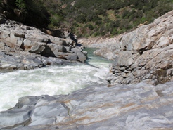
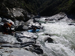
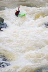
Typewriter (IV+). A simple enough entrance, the crux is the end move. The channel follows the left shore. The idea at our flow was to either stay low and let the curler tube shoot you out of the rapid or to power through the curler tube onto the cushion behind it. Once on the cushion, boof off the rock which made the cushion. At higher flows the left is a major hole.
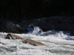
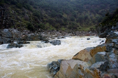
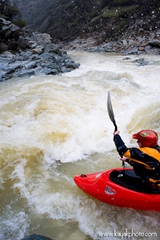
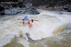
Dues (IV). A center/left stream bolder divides the river. To the left is a super junky slide route and to the right is a super sweet 8 foot (or so) boof. There is a little flake there to aid in the boof. Great fun. Just don't go too far left as you land on rocks, and don't go too far right as you land in a hole pocket.
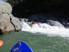
Boof (IV). A center channel is only a few feet wide; boof off of the rock on the left side of the chute. If you go straight over the drop you go deep. I was gone for a second or two and pitoned the bottom of the river. Eddy left below.
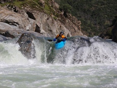
Not Tiger Tail (V). Enter on the left shore. Go through a narrow chute and off a sliding 6 footer. Enter now head for the left channel. At our flow the boof was a no go. So we had to drop into several curlers and large holes finishing by dropping into a very large hole at the bottom. With just a little more water you can boof the rock just right of the holes and get airborne.
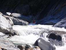
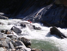
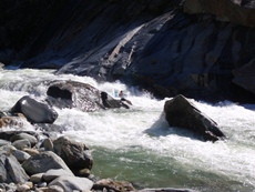
Hairy Ferry (IV). A simple enough rapid, don't fully remember the top. We eddy out on the left just above a sieve and undercut rock. We then ferried across in front of the undercut. Once past the undercut it was all ok.
Tiger Tail AKA 3 Nuns (IV+). After a quarter mile class II-III rock garden the pace picks up and the river drops over a junkie horrible drop. The drop is not big, but there is no way around rocks at the bottom of it. All four of us took big hits, and two of us briefly pinned. I now know the left is a little cleaner. Finish by running down the left side which leads to a chute which slides through a narrow slot, slamming you into a few cushions. At the exit you can go right or left through the calmer slots.
Final Hurrah (IV). Another chute on the left shore leads to a vertical drop of about 6 feet. You want to delay boof over the hole. If you don't, you go really deep.
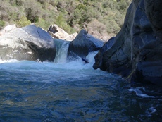
Class III rapids remain for the next ¾ of a mile to take out.
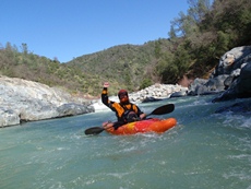
Take out: From Highway 80 take Highway 49 towards Nevada City. One of the first exits once you arrive in Grass Valley will be Highway 20 towards Marysville, take it. Once out of town you will travel about 10 minutes, at the second light turn right on Pleasant Valley Road. Follow this for about 10 minutes to the river. Just past the river you will see a turn out on the right near a park and bathroom.
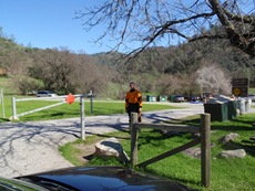
Put in: Continue on Pleasant Valley Road until it meets Highway 49. Turn right and travel about 4 miles to the river. On the far side of the bridge turn left into the parking lot.
HTML Comment Box is loading comments...
