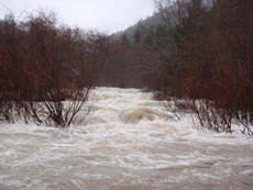
South Fork of the Eel (Ten Mile Creek)
| Stretch: | Highway 101 to Rivers Run Lodge |
| Difficulty: | Class IV (Above 8,000 it is closer to class V so I hear) |
| Distance: | 15.8 miles |
| Flows: | 1500-?000 cfs. Current Dreamflows Gauge gauge |
| Gradient: | 40 fpm average (100 fpm for final two miles of Ten- Mile Creek) |
| Put-in: | Highway 101 Turnout |
| Take-out: | Rivers Run Lodge |
| Shuttle: | 14 miles (15 minutes 1-way) |
| Season: | Winter, from heavy rain |
| Written: | © 2009 |
This run has probably been on my list longer than any other run without being checked off. Being 4 hours from home, it has been a challenge to line up flows on a weekend along with a group to drive out there with. This all finally ended this past weekend. As the week was progressing, the weather forecast went from some rain for 3 days to heavy rain for 4 days followed by showers for a week. Needless to say, after a depressingly dry January and February (2009) my friends and I eagerly made plans for the rain and awaited the weekend. Of course as fate would have it, the storm ended up being very cold and only snow came down. There was some promise for flows on the coastal stuff Sunday, but due to some reservations with regard to the possibility of storm spiking the flow, we called off a Ten Mile trip at 5:45 AM.
As I wake back up 2 hours later, I check the flows, and see that nothing other than Ten Mile is running, great, missed that one. The choices I was left with for the day were sitting around at home or running a very low water Chamberlain for the second day in a row... I opted for home and doing my taxes. As the day progressed what became apparent was that we passed on a perfect day on the South Eel. With this behind me, I quickly made plans again for the following day, emailed all the folks at work who might notice if I didn't show up Monday morning and ignored the rain pouring down all night hoping I didn't awake to a flooded coastal system and a snowed in Sierra. Well this was half true, come 6 AM I found a perfect coastal system and a snowed in Sierra. Har Har to all the friends who decided they would rather hope for 49 to B then join me, they got a nice 3 days in a row on low water Chamberlain. Anyways... So I finally got out on Ten Mile.
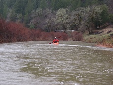
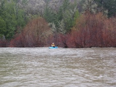
The first 4 miles or so on Ten Mile Creek are heinously lame. Mostly flat, but just enough current that the tree willows are a major pain. Several times the river disappears completely within the jungles. Usually the right channels worked out the best... but not always. Stay on your toes. Although the willows lighten up once you get to the South Eel, they are still present and still present a risk. In several rapids there are willow hazards not only blocking the shore, but in the rapids as well. Ten Mile Creek itself is bad enough that you actually start to wonder if the trip can be worth it. Don't worry I assure you it is. Once you get to the South Fork of the Eel, the river cleans up dramatically. The rapids become cleaner, less messed up rocks in messed up places, and there are eddies that aren't blocked by willow forests.
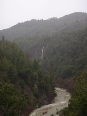
As you progress down the South Fork you will enter one of the most beautiful river gorges you will see in this state (or at least that I have thus far). Shear black stone walls, covered with various shades of greens, from the moss, to the bushes, to the trees, the contrast of colors is breathtaking. For a class IV boater, I do not know of any other run that can offer this good of scenery, only the North Fork of the Smith comes to mind, but that is completely different.
As for the river itself, the rapids tend to large holes dispersed, with the largest at the bottom of the drops to get you once your errors have culminated and resulted with you being off line. Good news, Diane decided to drop into two of the worse ones (neither us nor she know why, she called her self an idiot several times that day) and she flushed out still in her boat every time... good news huh. After The Hole That Ate Chicago, the river begins to open up. Be aware there are still a few large rapids. Once it starts to get brushy again there will be two more large rapids, both are good down the right. The second one is harder, after that the day is done. Quick shuttle back to the put-in and vualla, 4 hours later I am unpacking 15 hours after I left home.
We ran the river at about 2,400 cfs and it took a slightly over 3 hours. More water would have been welcome. Less would make Ten Mile increasingly more of a pain due to the shallow and wide river bed. I have heard that flows up at 4,000 are even sweet for class IV boaters. I also know that there are many stories of folks getting helicopter rides out at flows in the 8,000-10,000 range.
One final perk to the run, from the take-out road you get to see an amazing view of Grizzly Creek Falls coming into the river less than a mile downriver from take-out.
Mi 0:
- The first 4.5 miles are completely lame and flat. Dodge the willows as well as you can. Finally, once you have had enough, you will come around a corner, the mountains tighten up, and the river starts with some easy rapids. After 2 or 3 warm up rapids, you get to the goods.
- Huge Rock (III+). A relatively easy rapid but is very blind from above. There is a massive rock in the middle with a cushion forming against it. We ran down the middle and went left of the huge rock. I think you might be able to go right as well, but don't quote me on that.
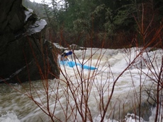
- Big Rock (IV). A harder rapid sneaks up on you. The lead in is fairly continuous. This time the rock isn't as big but the moves around it are harder. We all went left which was a double boof move kinda stout IV. The right side is apparently easier but unrunnable at low flows.
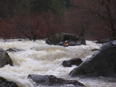
Fun Steep One (III+). A really fun steep drop involving a left then right move across some holes. It's the best and cleanest on Ten Mile.
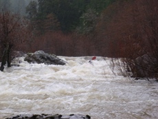
- Confluence (III+). Not a place to be upside down, the confluence is a shallow rapid with a few pointy rocks to give you Ten Mile's parting shot. We just read and ran it sort of on the left of center. Just below there is a nice beach on the right for lunch or examining your boat for a crack.
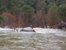
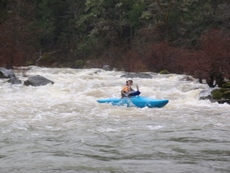
The South fork of the Eel comes in from the left and doubles the size of the river.
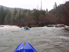
- First Big One (-IV). The first big one of the South Eel comes after two rapids or so. The rapid wasn't hard, but did have a few holes to negotiate and large rock with lots of water pounding into it at the bottom. I would avoid this rock to make sure I had a fun day. Also, I think cacreeks calls this one Headwall 1, but I am not sure, there are a few in there that could have been that rapid.
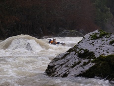
Headwall 2 (IV-). A fun rapid which leads you directly to a wall. Diane ran down the middle amongst the rocks and found a good size hole (story of the day) while Kim and I opted for down the left and driving right at the bottom to avoid the room of doom.
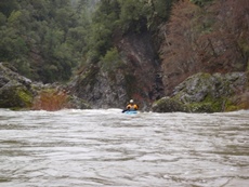
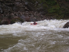
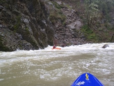
- Double Drop Where The Slots Don't Match (IV+ to V). I love that name, whoever named it deserves a pat on the back. Most people name rapids big scary names like "Death's Gambit" or "Devil's Playground" but I am all for the descriptive names that tell you everything you need to know about the drop. Though I guess in this case that would mean it would be called "Double Drop where the Slots Don't Match and Two of the Exit Slots Are Blocked By Wood, Another Has a Root In It, And Another Still Has A log That Was Under Water At 2,400 cfs." Now there is a name. So anyways, it really didn't look that bad, but we had portaged it by the time we looked at it. Diane and I both thought it didn't look bad. To me it looked like a class IV+, right side of the left most channel and exit the big wide open channel (the one with the log apparently underwater). Portage on the right if so inclined.
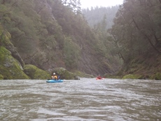
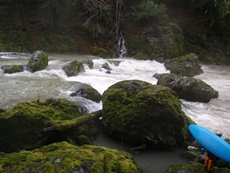
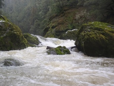
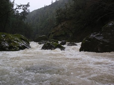
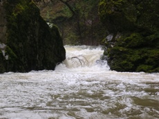
A beautiful gorge continues for a short ways, shear walls to intimidate you.
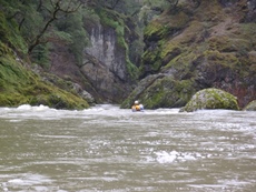
- The Hole That Ate Chicago (IV). Perhaps this rapid is harder at higher or lower flows. At 2,400 we entered on the left, delayed around a rock, and drove right above the Chicago rock that apparently makes a very large hole above 3,000 cfs. At flows a little less than ours I think the rapid gets a little junky. You will know you are approaching this drop when you come around a corner and see a huge black log up on the right cliff face.
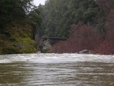
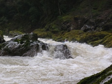
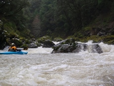
- Headwall 3 (III+). An easy enough rapid with a large pour over that is fairly obvious from above. So why would Diane decide as she approached it to shoot the edge of it and then get a brief beating? Beats us, she also was amazed at the choice afterwards. The brain freeze had a lasting effect as this wasn't the last bad choice for the day.
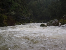
- Ledges (III+). A nice ledge with several choices. We ran it all the way right. One in our group got a brief surf before working their way out.
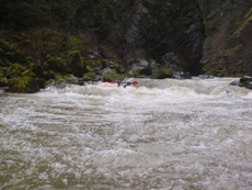
- Busy rapids continue. The canyon then begins to open up. There are still some good drops left.
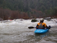
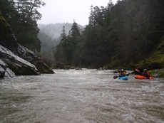
Full Choked Off (IV). This one is pretty darn blind from above. You can see the left looks junky and like a no go so you begin to venture down the right. The right then looks like it drops into a slot thingy that may not be good. So then you look through the bushes and think you see a line through the bushes, over a rock, skip off another rock/hole, and finally avoid the bushes below. Well 50% of the two that went this way made it past the exit bushes. It turns out, that for once this day, we should have followed Diane's line (man I feel like I am picking on her a little).
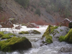
Another dense willow jungle appears, there is a good channel down the left.
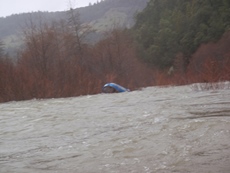
- It's Not Over Yet (IV). I actually feel this rapid was the hardest on the run other than "Double Drop where the Slots Don't Match and Two of the Exit Slots Are Blocked By Wood, Another Has a Root In It, And Another Still Has A log That Was Under Water At 2,400 cfs." This rapid has a two-fold name. First, it is near the end of the run and you may be thinking the rapids are over. Second, Once you come down the hole strewn ramp on the right, if you aren't looking about you might think the rapid is over at the base of the ramp and decide to drive hard left across the bottom way. The error in this is that there is a massive pour-over just downstream that you have to drive hard right to avoid. I barely managed to make it across the lip of the pour-over enough to drop into the outside edge and flush out. Diane had worst luck and didn't realize the error of her ways until she was 5 feet above the worst of it. Her face was funny though, I thought it was fun to watch. She flushed quickly.
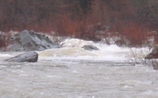
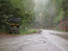
Take-out: Take Highway 101 North out of Willits. After 38 miles take the Highway 271 exit. Go left and follow it for a few miles. Nice vistas of the final few miles of the river are seen out the window. When you see the "Rivers Run Lodge" sign on the left, turn left on the dirt road. Stay on the main road heading down hill. You can park on the left out of the way. Expect to pay a fee or $10 per person or so. The owner also asks that you call in advance.
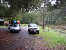
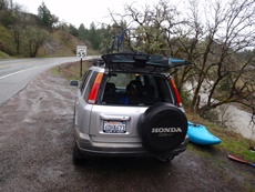
Put-in: Head back to Highway 101and head south. Once the Ten Mile Creek comes into view on the right (not Rattlesnake Creek, you see that first after like 2 miles... keep going, it couldn't be less than 10 miles on 101, and I believe you go over Rattlesnake Pass). So, once the creek comes back into view there will be 2 turn outs, the second one has a 55 MPH sign on it. We put in here, a nice gentle slope (slippery and not so gentle) leads you down to the water. Another few hundred yards south on 101 and you will see a private bridge over the river.
HTML Comment Box is loading comments...

