South Fork of the American (Lovers Leap)
| Stretch: | Mile 39 Tract to Mile 35 Tract |
| Difficulty: | Class IV+/V- to V |
| Distance: | 4.1 to 9.5 miles |
| Flows: | 450-1,400 cfs. Current Dreamflows gauge |
| Gradient: | 186 fpm (Miles up to 250 fpm) |
| Put-in: | Mile 39 Tract (or up to the town of Strawberry) |
| Take-out: | Mile 35 Tract (or as down to the town of Kyburz) |
| Shuttle: | 5-9 miles either way (10 minutes one way). . |
| Season: | Spring from snowmelt |
| Written: | © 2010 |
This run has never really been high on my priorities. Some friends of mine went in several years ago when we were aspiring class IV-V boaters and found the rapids huge and the wood ever present. In the years since I have been tempted to go a few times but have heard reports that the wood was worse or the flow too high or too low so I always made other plans. As this past weekend came (6-19-10) along, Chris Tulley threw the idea out to boat this run on Friday. However, thanks to a 7 am US versus Slovenia World Cup game and myself drinking more than normal (for it not even being 8 am yet) I decided I was not up for a challenging run and we opted for Kyburz instead. The following day however with a desire to stay near Placerville in order to catch the Hotel Charlie Premier at the River Store that night, we decided to put a group together to do Lovers Leap. This time however, no one in the group had done the run. As we push off the shore, I couldn't help but think I wish I knew more about the wood situation and what rapids lay within the 4 miles stretch. I am comforted by the thought that this run is nearly road side so an egress can be made at any time (for the record, this thought it wrong. Egress can be made, but it certainly wouldn't be easy at times. At other times there are cabins lining the river deep inside the canyon).
We were told the best section of the run is the 4 miles between the 39 and 35 Tract of cabins. In those 4 miles we came across many superb class IV+ and V- rapids. A few rapids certainly were bordering class V with one if run top to bottom certainly a solid class V if not V+. In the unlikely chance that you find a calm section of water, make sure to look up and around. The alpine scenery with huge fur trees towering over head and granite lining the river is remarkable. Really a special place. At no time do you sense that Highway 50 is a few hundred yards up the mountain, I do not ever recall seeing nor hearing a car the entire day. I can see why folks shell out money to buy one of the rustic cabins along the rivers bank. I know if I had the means I would too!
So the ratings on this river are a bit tricky. I have read brief reports calling it IV+ at 450 cfs (at Kyburz). I have read that at 600 cfs it starts to link together, gets pushier, and steps up in difficulty. We had 850 cfs or so (taking into account the diurnal dip from the tip we took off to when our water hit downriver at Kyburz). I thought that 850 was perfect. The nature of the river was boulder gardens that often resulted in rock hits. I thought that 850 provided a nice blend of not being overly pushy, but instead nicely padded and without yet resulting in unmanageable hydraulics. Diane and I reflected while driving shuttle that we would not like to have much less water than what we had. Perhaps though it channelizes better than we anticipate, the fact folks boat it with half the water is saying something! Anyways, at 850 cfs I thought this run was mostly class IV+ rapids with a few V thrown in. As I was on the river, I thought that the easy rapids were on par with all the hardest rapids on the Lower North Fork of the Kaweah (to put things in perspective). The challenge is that the rapids are very continuous. And you need to make sure you are not only in your boat at the end of the IV+, but also upright and in control in order to eddy out before the next rapid. The danger is then upped by the presence of wood that constantly moves and shifts from year to year. Our day we had four log portages. Of which, all could be disastrous for a swimmer in an upstream rapid. As I read that last sentence back it seems scary and uninviting. The run was a lot of run, but I do want to make sure I am clear that you should bring you're a-game to this run as there are significant hazards. Ok, I've made my peace.
Culley Thomas offered these words regarding the sections above and below this section of river: "Above 39 mile track the run is quite mixed up in character good drop mixed with long boring sections. I have only done that section three times. There are two notable drops worth mention in this section. One below strawberry track can have a sticky hole. Another 15' waterfall in this section has a tricky line... Upside down lines are common.
Below 35 mile track to the old picnic area is a notch harder than the 39-35 run but not as clean or asthetic. The is a 20-30 falls in there that looks henouis but apparently has been run. It often has wood in it further limiting navigability.
Below the picnic area is ok but again not as aesthetic in my opinion. The hardest whitewater on lovers leap are below 35-mile track, but again not as fun as the 39-35 mile track."
There are just too many rapids on this run, you certainly don't end the day thinking, "Gee, it was ok, I just wish there were more drops." Because of this, I am not covering the details of them all and there are plenty that are not getting mentioned. Also, the wood moves from year to year, so always be on your toes.
Mi 0.5:
- Slide (IV). After a little bit of boogie (maybe a half mile), you get to the first obvious rapid. The end is a sliding slope into an off angle hole.
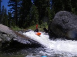
A few more fun rapids lead to a slide with a good size hole.
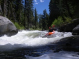
Slide (IV). A sloping slide into a good size hole. Good thing it isn't too hard to get your nose over.
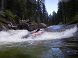
Boof Right (IV). One of the first boulder bar horizon lines. There was a fun and obvious boof on the right.
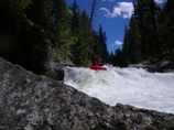
The rapids begin to get more continuous and harder.
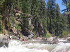
Log in Play (IV+). A multi tiered rapid bust be taken seriously. We ran down the center with left momentum to avoid getting pushed right and under the log.
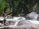
Ledge (IV). The first in a serious of ledges, we entered this rapid on the far left and worked to the far right to ride the tongue through the hole below.
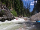
Double Ledge (IV+). The first ledge packs a large hole that can be skirted on the far right. From there we had to aggressively fairy back to the far left to delay boof the large second tier.
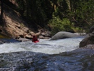
Double Boof (IV). A fun rapid with a boof entry and some boogie on the way out.
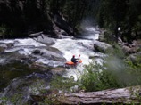
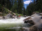
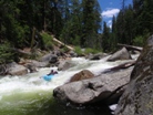
Ledge (IV+). A fun read and run rapid leads to a larger expected ledge drop. We ran down the right which also was the worst part. It worked out ok though. A log portages was just downstream.
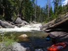
Log Portage #1 (IV+). It went, it was only one move long. We just didn't want to risk it and the walk wasn't too hard on the left.
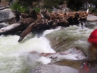
Exit (IV+). The exit of the portage drop had a few good holes rounding a corner into a boof between some rocks.
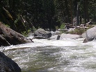
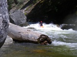
Down the Middle (IV). A bad looking rapid had plenty of water down the middle to thread the needle between multiple rocks. A big rapid is just downstream.
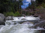
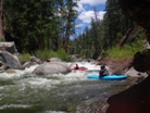
Big One (V to V+). Very rocky with several undercuts a log and a few sieves. And that is just the entry. The exit then went over a ten foot boof on the left or down a rocky chute on the right. No one part looked overly horrible but at our flows the parts combined into one and became consequential and scary. Scout or portage on the right via the trail.
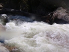
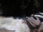
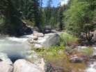
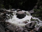
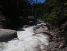
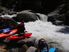
Exit Drop (IV). We put in below the big boof and ran the double boof under the log.
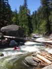
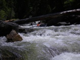
Big and Long (IV+ to V-). A long blind rapid should be scouted from the left. Run it down the left-of-center through the first hole. Punch through the curler and hole just below. From there manage the class IV- read and run for the next hundred yards.
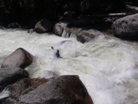
Curtain (IV+ to V-). What a sweet and unique drop. The entry was the hard part, boof a few holes heading down to the left. Below the large slab of rock turn back right. At this flow you are at the base of a 4 foot curtain coming down off the slab working all the way back to the right. From there, just read and run the exit. Pretty unique drop in my mind.
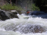
- Log Jam (U). One of the large Log Jams you will find in California. If this guy ever blows out the South Fork of the American will be damaged for a long time. We portaged on the left though I have also seen photos of folks portaging on the right.
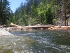
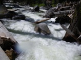
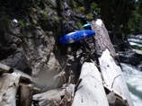
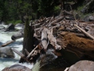
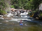
Blind But OK (IV). Just below the Log Jam is a blind rapid that I hoped out and scouted from the center island. There could be new wood here, so I would check before rounding the blind corner, but as it was it was an easy rapid with a few holes near the bottom.
Tricky Entry (IV+). A pinch entry with a curler and a rock next to it made entering this drop in style a bit hard. Try to boof, it mostly worked. From there dodge the rocks and holes below.
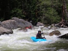
Ledge (IV+ to V-). I would recommend scouting this on (I think on the right). However, one in our group just fired up the read and run and plopped over the horizon line. Giving us the "Its ok sign," we all followed suite. Luckily the ledge was clean.
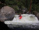
Stitches (IV+). A good size hole leads to two stacked holes with a good seam between them. Again, a probe unit decided to give her without a scout and ended up with a gash 1-inch across and down to the bone on her chin. I decided to boof far left which worked out well. Another in our group decided to try the seam and plugged through the entire drop only to resurface below.
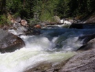
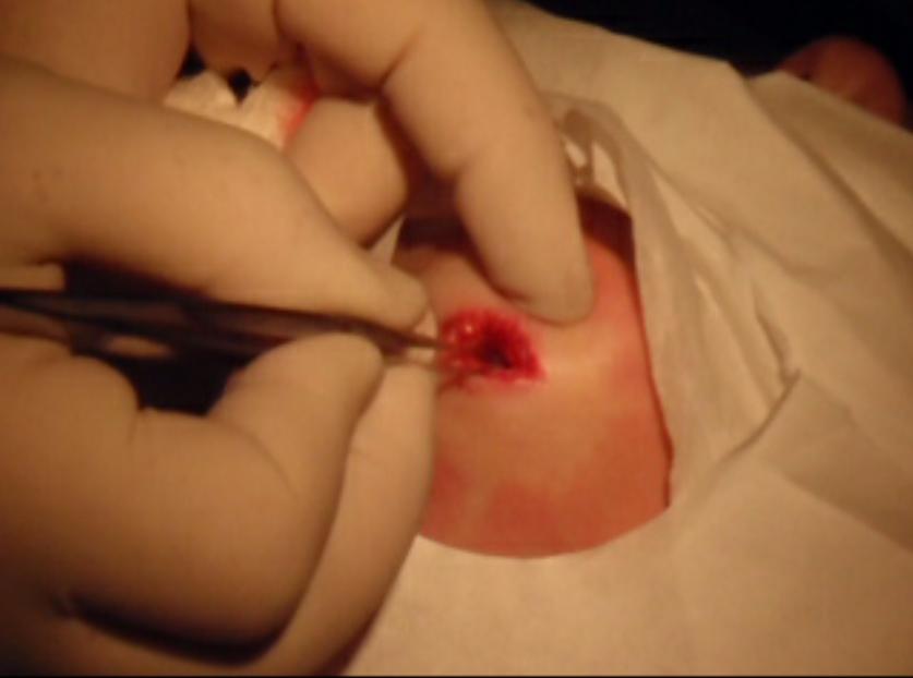
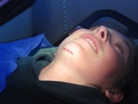
Cabins reappear on the right marking the 36 mile Tract. A few fun read and run class IV to IV+ are along this section.
Log Bridge (IV to IV+). Made more difficult by the rapid downstream, this rapid was best run finishing right which also dropped you off safely in the small eddies between the drops. We gave this one a partial portage on the left.
Boof on to Rocks, then onto More Rocks (V- to V). Nick scouted from the right and gave us the its ok sign. In reality, that was sufficient. There were so many boofs onto rocks and around rocks that no amount of scouting would have resulted in better lines. The exit also contained a good hole so it was good to work left, hindsight is 20/20. Be aware, in 2010 the run-out of this rapid lead directly into a class IV that ended in a serious log jam. This is one of the more dangerous rapid in the run due to the danger of swimming here.
Ends in a Log (IV to IV+). The hardest part of this rapid is fighting to stay sorta right so at the bottom you could carry some left momentum into the eddy. 3 of us portage on the left. The other tried to run the small exit slot on the right but gave up and portaged on the right. Once you put back in there is still a few hundred feet of class IV to IV+).
It Begins to Get Easier (IV to IV+). The rapids begin to get easier (think of the hardest stuff on the Lower North Kaweah, and that is this easy stuff).
Boof (IV+). Running straight down the center resulted in a nice boof which then led to a small hole to punch through. It was blind from above so we hoped out quickly on the left.
From there, there were a few nice class IV drops, you begin to get a lot of bridges, power lines etc along with the trees and growth in the river bed. Then just around the corner is the take-out. This run seemed a heck of a lot longer than 4 miles but was absolutely great fun. I will be going back.
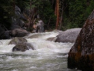
Take-out: From Placerville drive East on Highway 50 past the town of Kyburz (an optional take-out). Watch for the signs that list "Mile XX Tract" marking cabin locations. Mile 35 tract is easy to spot as the road is at the end of a pull-out and a nice shallow angle to the Highway. Drive down a few hundred feet. We parked near the slide in the river and nice gradual slope to walk up to the car. We talked to some locals there who were very friendly and said they didn't mind us parking there.
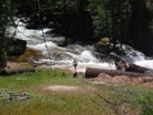
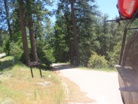
Put-in: Continue East on Highway 50 for 4 miles, Mile 39 Tract is harder to spot. You may see the sign, but the road is hidden until the moment before you pass it. Luckily just 10 feet past it there is a turnout you can use to make a second pass at it. Follow this down. We went left and Y and parked when we found a decent spot and some friendly land owners who said they didn't mind our car where it was and even let us walk down their property. Strangely enough, both at put-in and take-out the locals solicited advice on what type of sea kayak to buy, 12 foot or 14 foot and where to take lessons to learn to roll. Strange. Anyway, they also said that if you go to the end of the road there is a turn around with nice river access.
HTML Comment Box is loading comments...
