Rocky Broad (Lower Pre-Helene)
| Stretch: | Bat Cave to Chimney Rock |
| Difficulty: | Class IV to V |
| Distance: | 2.8 miles |
| Flows: | 2.9 ft to 5 ft on the AW gauge (though I bet folks have run it higher). 3.6' was a great first time medium flow. There is also a bridge gauge but that tends to read 0.7 lower. Check out American Whitewater's current flow gauge. |
| Gradient: | 178.5 fpm for the 2.05 miles to the paddle out. |
| Put-in: | Parking lot near the Pardee Medical Associates Building |
| Take-out: | Park in Chimney rock |
| Shuttle: | 2.8 miles, 7 minutes one way |
| Season: | Winter/Spring from rain |
| Written: | © 2017 |
| Featured in Videos A Wet State #133 | |
The day before on Rock Creek out on Walden's Ridge, was my first time in my new Jackson Nirvana. I was surprised at how much I loved it. But, it was still a new boat, a very different design, and I haven't boated class V in several months. So when the morning plan came around for Raven Fork, I decided I would find other plans rather than being stressed all day. Diane and Jim stayed on their Raven Fork plan. My plan was Rocky Broad, a new river, and one that always has good traffic for meeting up with people. My first few contacts decided they didn't want to wait the ~3 hours it would take me to meet them out there, so they bailed. The next few decided that they didn't feel comfortable on the run themselves, let alone without a guide and with it being my first time. I actually found that a bit off-putting... Having done 465+ runs in the world, I would estimate that 200+ of those no one in our group had done before. Sure I didn't lead them all, but I have led my fair share of them for sure. Oh well, I guess I just need to realize it wasn't about me (I hope) and was more about their own comfort. And I get that part. Regardless, Diane saw me struggling to find people to go with, and offered to go with me instead of doing the Raven, so she bailed on Jim. Then Jim and Tony called and asked if we would be willing to do the Green River Dries afterwards, and the plan was set.
The day was windy, brutally windy, and cold. I always hate having to wear poggies at the start of the season. It is just such a sad thing, looking winter in the eye as the memories of summer begin to fade. But, this river was still worth it. The scenery is actually very nice, despite the fact it is road/town side the whole way. The mountains that are rising above you are those you see at the end of the movie, Last of the Mohicans. Super pretty. And the style of rapids is pretty different for the SE. It reminded me of the Southern Sierra, things like the North Fork of the Kaweah, Lower Tule, or some of the Kern. Boulder gardens with sieves, staked on top of each other, and roads nearby. I felt like I was back in California for sure.
The nature of the river should be respected, there are a lot of sieves. One rapid is nearly always portaged (Walker Falls), another rapid is occasionally portaged (Redneck). Some of our group added one more The Hein which looked rather mean our day. I don't think we got out of our kayaks at any other point. We were able to boat scout our way down everything, though we did run into a bit of a last minute eddy jangle at Banana Hammock as well as a cluster at A-Frame. Both of those have long lead-ins that hide the rapid downriver.
The river was great fun though. We had 3.6' on the AW gauge, which I thought was a great flow. It wasn't high, but also by no means was it low. It felt like a nice medium flow. Fluffy holes and boofs and minimal rock interactions. I am guessing that the gauge changes often as looking at pics of Redneck on the AW site at a 3.45 flow, they had significantly less than we had. For us, the short miles took maybe 1.5 hours. It felt like a very long 2.8 miles, especially being that the main rapids are all in the first two miles. But I am sure once you know the lines, or if you are following someone who knows it, you can crank out laps super fast. Anyways, I can't wait to get back and get the Upper Rocky Broad. But this day, we had a mission, time to pack up and head over to the Green River to get the elusive Dries section.
2024 Note: This write-up is from pre-Helene. The reports are of drastic changes. I will try to get updates as they become available.
Mi 0.0:
- First Rapids (III to IV). A few small rapids and a small slide to warm-up on.
- Apple Orchard Slide (IV-). The first large horizon line you get to is a nice slide down the far left. Avoid the flake in the middle
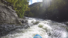
- Banana Hammock (IV to IV+). After some boogie, you will find yourself at the top of this rapid. The hazard is that the right side of the river is all sieved out and basically a rock pile. Our group, not knowing where we were going, eddied out against the center island in a 2 boat eddy, all 4 of us. Then Diane said she remembered going left. But from where we were we had to slide a rock in the middle and land with hard left angle to go left directly in front of the rock pile. With more warning you can head left earlier and boof easily into the left channel via a boof on the left.
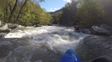
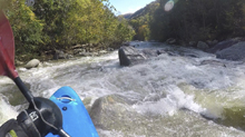
- Pocket Hole (IV to IV+). Shortly downstream is another rapid that starts with boogie before getting steeper. We hugged down the right and found the tongue between two holes. I know you can also drive right to left across the start of the steep part to go left around the holes.
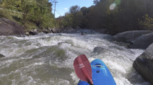
Spectator (III+). A small 3 foot ledge followed shortly downstream by an s-turn that you start left and drive to the middle on.
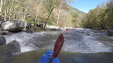
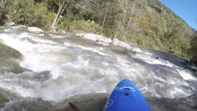
Boulder Alley (IV). The lead in for Redneck has some nice boulder garden moves and finishes with a ledge in the eddy above Redneck. It goes anywhere really. We ran middle. If you are going to scout the right side, scout from here. If you want to scout left or portage, run the next ledge right and then drive to the eddy on the left. Don't round the corner without scouting.
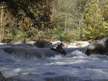
- Redneck (V). From the last eddy mentioned in the above rapid, you peak out and drive to the right for a double ledge. You want to then let the water move you back to the right, to then carry right to left across the main tongue. It is a junky rapid that has plenty of pin spots and being upside down is simply not an option. The portage is easy on the left.
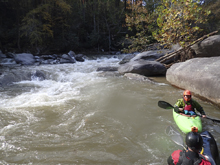
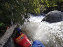
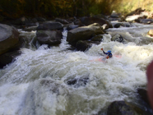
- Walker Falls (V). The site of the one fatality (as of this writing). Eddy out right and scout. Most will portage, but it does occasionally get run. The line is on the right, where rocks and ledges move you further right and towards the sieve that caused the fatality. The move is to go with it and then once in the slack water between the tiers, drive left to the center ledge. The portage is easy and involves a fun 18 foot seal launch.
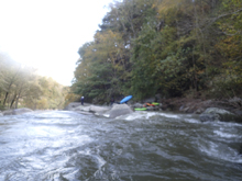
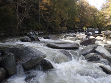
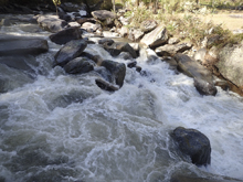
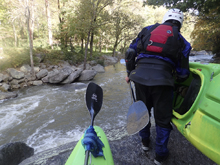
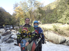
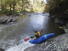
Boogie (III to IV). Downstream you get to some fun boogie.
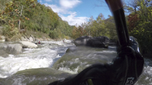
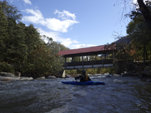
- Double Ledge (IV). You will cross under a bridge and then enter this rapid. Two ledges that we ran down the middle of both. I am sure at higher flow the first can get meaty. The second was kinda shallow so I bet it doesn't get too mean.
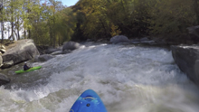
The Hein (IV+ to V-). Shortly downstream is a rapid very much like The Notch on the Green... but without Gorilla below. The move has a worse undercut though on the left. The line is to have left to right. Set safety. Scout left. The ledge immediately downstream also deserves some respect but is runnable or sneakable far left.
Boogie (III to IV). Downstream is some nice boogie. We went with the bulk of the water down some small channels.
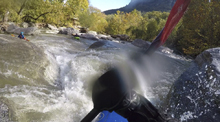
- A-Frame (IV+ to V-). This rapid sneaks up on you if you aren't expecting it. It is a small channel on the left and has some nice boofs and s-turn and all of a sudden you are above small ledge above a horizon line. None of us knew where to go, Jim caught an eddy high up. Diane dropped off as I was failing to scramble into an eddy, I pin backwards against the left wall in the pre-ledge. John drops off side ways as I get free and I see him hip check some rocks down the left. I am floating off and straighten it out and have a nice smooth line down the far left. Some locals then passed us and all ran down the far left as well.
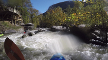
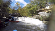
- Sieve City (IV to IV+). You get to a horizon line where the river splits around a huge boulder. I have seen pics of people running the right side, but that looks like a bag of dicks. We boofed the middle running hard right to left in order to get into the left channel around the midstream island (boulder). Catch an eddy before rounding the corner as I could see wood collecting here.
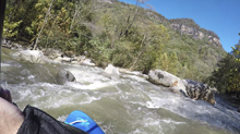
- Rumbling Broad Rapid (IV+). The final rapid of note is a cascade. We ran down the middle at the top which starts with a steep ledge before turning into a hole punch affair. We either boofed the flake in the center at the bottom or went to the right and slid around it. I know at low flow, there have been bad pins just to the left of the flake.
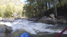
Put-in: Assuming you are coming from Asheville or Charlotte or Knoxville, take one of the many ways to get to Bat Cave, the town in North Carolina. As you roll into town, go downriver on US64. From the US-64 bridge over the Rocky Broad in Bat Cave, put-in is a mere 0.2 miles downstream. On the left, just past the Post Office, there is a medical building that has a secondary parking lot that is above and just downstream of the primary lot. This is where folks park.
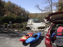
Take-out: Continue downriver for 2.8 miles. On the far side of town, there is a gravel parking area on the right at a small park along the river. This is take-out. If you cross the river, you have gone too far. Drive slow around here, lots and lots of tourists.
HTML Comment Box is loading comments...
