Rockcastle River
| Stretch: | Beech Narrows to Bee Rock |
| Difficulty: | Class III to IV (IV+ at 10,000+) |
| Distance: | 2.75 miles |
| Flows: | 400? cfs to 10,000+ cfs. Check out American Whitewater's current flow gauge. |
| Gradient: | 7 fpm (18 ‘ total, nearly all in the Lower Narrows) |
| Put-in: | Trail into Beech Narrows |
| Take-out: | Bee Rock Campground |
| Shuttle: | 4.4 miles (5 min one way) |
| Season: | Winter and Spring, rain |
| Written: | © 2016 |
During our morning run on Cane Creek (tributary of the Rockcastle), I had been quietly hoping that the water may have dropped a little on the Rockcastle. Last time we had cell service it was ~8,000 and still going vertical. Recommended flows for this one cap off normally around 3,000 cfs. Was this going to be rowdy or perhaps washed out? Turns out... a little of both.
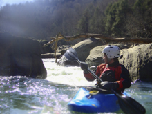
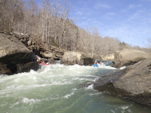
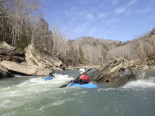
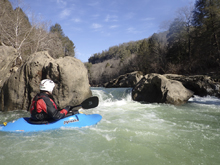
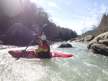
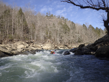
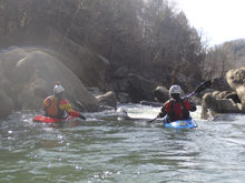
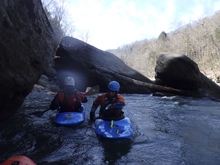
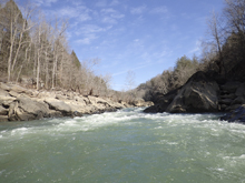
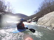
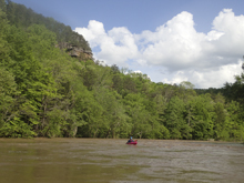
Putting on at the Beech Narrows, we quickly realized that the narrows were just a wide spot in the river with a wave train and some very boily water. That, coupled with the endless stream of debris and trees floating down the river singled we had very high water. It was around this time we also remembered that the gauge is 18 miles upriver. So the flow was significantly higher than what the gauge was reading. The narrows went fine enough, no holes or rocks to be seen. A mile of fast moving flat water led to a bend and a small class II wave train signaling that you are approaching the Lower Narrows. This section was just one big rapid at this flow. Luckily, the lines were wide with only one hazard, the bottom left half of the river had a hole that you would not want to venture into. If something went wrong in the top two thirds of the rapid, it would want to push you towards that hole, so stay in control and stick with your rolls. Luckily, the rapid upstream didn't have a whole lot to it, other than some crashing waves, large surging boils, and an s-turning river bed to negotiate. I would still call this class IV for sure at this flow just due to the fact that flooded rivers are easy to have things get out of control due to a simple edge trip.
The run was short, which is the only downside of it at these flows. At higher flows when the rapids break into separate pieces I can imagine it is a more worthwhile venture. It is a solid half hour from Highway 75 and there is a steep though short hike down into the river. At our flow, the run took maybe 15 minutes due to the flat water sections in the paddle in and paddle out. Hard to motivate for laps on it at that rate of return... which is too bad because the Lower Narrows were A LOT of fun! In the end though, the way we did it was a great way to experience the area, get Cane Creek in the morning, and then Rockcastle after as the rivers have begun to drop.
For reference, we had ~10,500 on the Rockcastle gauge upstream. The river peaked at 14,500 cfs a few hours later. They received 3 inches of rain the previous night.
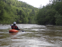
Update 2017: Almost a year later I got back out on this run, at a much lower 393 cfs, a flow which the river has quite often through the year. I found the run to be a great class II to III run. Though the handful of III do have some danger in them in the form of undercuts and sieves. I found out the hardway in a class II- where we were stern squirting. None of us looked downriver. I squirted and flipped, carped a roll and then rolled up in front of an undercut which then sucked me down and pinned me underwater against the wall. Fighting to get off the wall and reach for the corner I popped off, only to then go into a log which was plugging another sieve downstream. I swam. In class II-. So, just let it be a warning to take a look around and take caution on this run. But don't let that scare you off, it was quite fun at those low flows! Also, plan for it to take longer... I think it took 1.5 hours to do the run at the low flow where as it took 15 minutes or so at the high flow.
Mi 0.0:
- Beech Narrows (III to IV). At our flow, you could sneak around the meat of it on the right. But it was just crashing waves down the middle. At lower flows the bottom apparently has a large hole. Perhaps the hardest part was the boils and whirlepools and eddy lines as you exited the rapid.
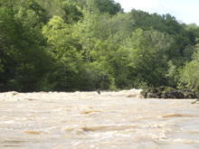
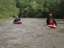
- Lower Narrows (IV). At lower flows this is 3 or 4 distinct rapids. At our flow it was just one long rapid. We began either far right or far left to avoid the unknown in the middle. We then worked back to the right as the river s-turned left to right. As it moved left, you want to me right as the river then falls down into a very large hole on the far left. It wasn't a hard move, but just one to make sure you make. Below was just a crashing wave train down into the pool below, where some very large boils and whirlpools formed.
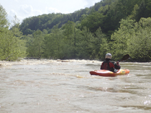
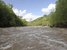
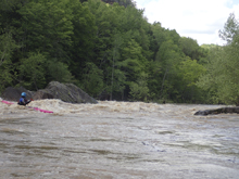
- Guy's Surprise (III). The last rapid was just a wave train down the middle, no worries to it. More boils and eddy lines await downstream.
For more details on the run, see the AW write-up
Take-out: Exit Highway 75 near Corbin KY. Take KY-312 for 4.4 miles. Turn left to stay on 312. After a half mile turn right to again stay on 312. Continue for 3.5 miles until you get to KY-192, turn left and follow for 10.5 miles. Bee Rock Campground is located on both sides of the river and either side is good to go to access the river as parking areas exist at the terminus on both sides.
Put-in: Go back out to KY-192, turn right and follow for 1.3 miles. Eventually, turn right on Helton Ridge Rd Spur which you will then follow for 1.6 miles. The trail drops down to the left, there is a parking spot for one car directly at the trail.
Hiking: You can hike from Bee Rock campground up and over to ridge and pop out at the same spot you park. This is about a mile. It allows for self-shuttle if you are running solo.
HTML Comment Box is loading comments...

