Rock Creek (Walden's Ridge)
| Stretch: | Hall Creek to South Leggett Rd Trail Head |
| Difficulty: | Class IV to IV+ |
| Distance: | 8.0 miles (1.6 of which on Hall Creek) |
| Flows: | ~250-600 cfs estimated. 2.5 to 4.0 ft on the take-out bridge 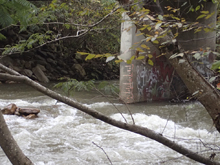 |
| Gradient: | 92.5 fpm average (126.5 fpm for 2.3 miles after the Cumberland Trail) |
| Put-in: | Near Chicken Coop on Hall Creek |
| Take-out: | Cumberland Trail head on Leggett Rd or downriver at the Leggitt Rd Bridge |
| Shuttle: | 7.4 miles, ~15 minutes one way |
| Season: | Winter/Spring from rain |
| Written: | © 2017 |
| Featured in Videos A Wet State #133 | |
Maybe all I needed to do was publicly shame the weather of the past 2 years, always hitting on weeks/weekends when I couldn't boat. I estimate I have missed 90% of the storms since I moved to TN. Work travel, and bad luck having obligations such as weddings or family visits during each and every one. I mean, this fall alone I have missed three hurricanes and 2 other rain events. So, I take to facebook and #tbt a better time, when I was around to kayak. And just like that, the rain began to fall Friday.
The original plan was to head to the Russell Fork Race Saturday morning. But, as the rain began falling overnight plans were made check the rainfall and weather forecast in the morning before setting out. The rain began slowly, meaning the only for sure water was in Alabama. Jim, Diane and I decided to go all in on the rain, and wait a few hours before determining if we wanted to go to Alabama or if the rain was going to hit up our way.
Finally around 11, we decided to start heading south, hoping to meet the rain as it came up. We cross over the Walden Ridge to check drainages as we headed south. Our first stop, Rock Creek. Upon arrival we found the water low... too low, but close. We think about it, and with the recent rain fall over the past few hours, we surmise that peak has not yet hit, and that it would likely be a few hours before it came. So, we waited for our friend from Alabama, John, to arrive, and then set shuttle.
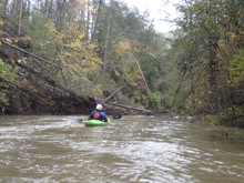
To be honest, I hadn't heard of the run. But it was on Jim's list as he had not yet done it. It is rare for me to get to boat with Jim on a run that he has never run. The run itself was spectacularly pretty. Many bluffs, and caves were accented by the peak fall colors that surrounded us. The run starts on Hall Creek which is a small shallow creek. It was low, you could tell at put-in, but it was also brown, which meant it should be higher than then what we saw on the gauge. The creek actually was fine until just above the confluence with Rock, a set of braided islands causes the flow in any one channel to be low and a bit of a bashing affair. Luckily, this is very brief, and then you are rewarded with more than doubling of the flow when you hit Rock Creek proper. Do note, on Hall Creek, there is also some wood that has to be dealt with. We portaged twice on Hall, plus once on Rock due to wood.
Once you hit Rock Creek, you are greeted with some nice slides, most of them are low angle, though there is one that causes a bit of a horizon... some ran center driving hard left for a fluffier line, others ran far left. Things then mellowed out for a short ways to where the Cumberland Train crosses the river via a foot bridge. Below here, the good start and range from III to IV+, with plenty of IV. I think at low flows perhaps it is more class IV, but we felt we had a medium/low flow and thought that the holes, and nature of the rock warranted a class IV+ rating. In Kirk's book he says the crux section approaches V- when the water is up, and I believe that.
Eventually the walls start to open as you enter into the valley and the last little bit is just boogie. It is worth scouting take-out before putting on as the easiest access is a bit non-descript from river level. Or, rather than taking off at South Leggett Rd Trail Head, you can paddle down to the Leggett Rd Bridge 1 mile downstream, but I would only do that if the water was up as it gets wide and therefore shallower down here.
For reference, we had 1 inch of rain in the previous 24 hours, most of it was in the most recent 12 hours. We had what if you count from the top of the gauge, was 3 feet. Though we could also easily see how people counting from the bottom could read this as 2 feet. Whatever we had, low flow would be half a foot lower. Check the pic for reference so you can compare.
And in case you were wondering, the gamble on the rain paid off, as the next day I got two more personal first descents on the Lower Rocky Broad and the Green River Dries.
Mi 0.0:
- Hall Creek (II-P). The first bit is mellow and shallow. Keep an eye out for wood, we had to portage twice on this creek and had to duck a few others.
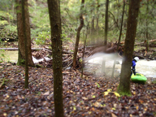
- Islands (II). The last tenth or two above the confluence, the river braids across multiple channels and this is the only time the low flow on Hall Creek got bothersome to us. It was brief though, so worry not.
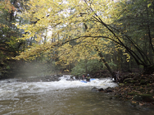
- Rock Creek enters on the right doubling the flow. The river should not feel low from here down.
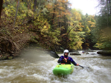
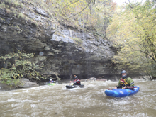
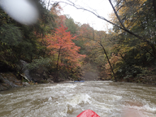
Slides (III to III+). Some nice fun slides and nice small caves, they were all read and run other than one of the slides had a larger horizon line. We either ran far right or hard right to left. The middle had a good size hole. I bet at high flows you would really want to drive hard right.
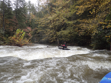
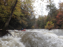
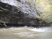
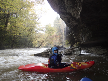
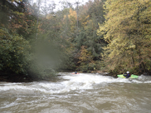
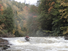
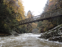
- Cumberland Trail Bridge crosses overhead and marks that you are getting to the goods. I don't have exact mileage of the rapids down here... so I will estimate.
Picks Up (III-). Around the first corner I recall getting to the first rapid which was read and run boogie, follow the water.
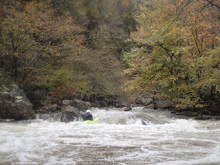
Off Angle (IV-). A small drop but surprisingly hard to hit quite right. The drop was a double drop, you want to be right on the first and then turn for the off angle bottom hole. I could see a lot of side surfs occurring here for those who don't fully straighten out.
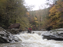
Pinch (IV-). This one was intimidating from above. You could see down the left which went into a bad undercut. We hoped down into an eddy halfway down on the right. The exit you want to be right of center to drive up onto the rock to slide down it. Staying far right actually ends up in a pinch with a bit of an undercut. Not horrible, but not pretty.
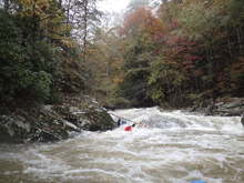
Ledge (III+ to IV-). A nice fluffy ledge is best run far left, and then negotiate the run out just below.
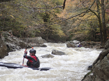
Around the Bend (III). A large midstream boulder should be run around on the left.
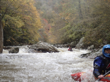
Things mellow out for a smidge as I recall.
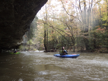
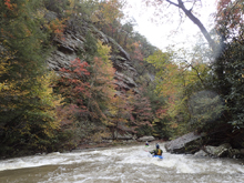
- Fin (IV+). Scout either side. You want to enter right of center in the main channel. Drive into the cushion that forms off the fin of rock, then slide down the fin into the hole below. The hazard would be boofing the top on the left, it appears to have a rock in it.
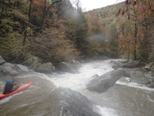
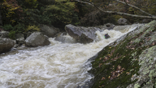
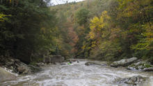
Don't Follow Your Instincts (IV+). This one looks like you could go down the far right. But, if you did that, it would end very badly. The exit on that side goes into rocks, I don't know for sure, but it looked like fatality potential from my glance that way. Jim was probing and entered right and eddied out. Ferried middle and eddied out. Then boofed left. With his beta I was able to just enter left and hit a nice boof which made it super easy to go left of the rock split and stay well away from the danger.
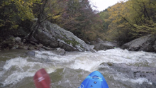
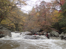
Trashcan (IV to IV+). This one should be scouted, can be done on the right for a view from the top, probably need to be left to scout the whole thing. We entered in the far left channel and boofed the right side of the channel. There was an eddy tucked back on the right between the two tiers. The exit was cleanest right of center as in the middle there was a ridge of junky rock.
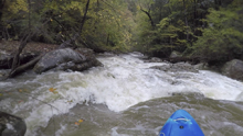
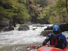
Junky (III to IV). This one isn't hard, but there was a tree in the left "clean" line down the shallow rapid. So instead we had to drive right and boof/slide into a small slot that we all pitoned in and some pinned briefly in. It was mellow... just not great looking.
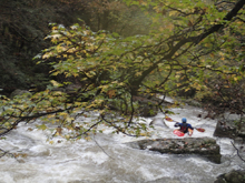
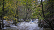
Double Drop (IV+). Immediately downstream was a drop worth taking a look at. Two mean holes, the top one having a recessed pocket that was worth having eyes on for the first person. We all ran far right of the main channel and then straightened it out for the exit. There may have been a sick boof far left on the top drop that we only noticed from below, or it may have dropped you right into the pocket horribly. Not sure on that one!
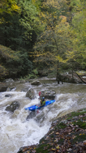
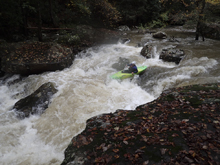
Things mellow out below here in a quick manner.
- The river really begins to open up and the river turns into class I-II with some wood ducking down to take-out.
Take-out: Highway 27 goes straight through the small town of Sale Creek about 12 miles north of Soddy-Daisy (where the North Chick is). In Sale Creek, turn left onto Leggett Rd and follow it 0.7 miles to the bridge. There is a parking area just over the bridge to the right off a small spur road. The gauge is on the downstream center pillar of the bridge. We think people read it wrong... we think we had 3 on the gauge, but could see how people would read it as 2. It is tough to read. Whatever we had, half a foot lower is minimum I would say. The alternative take-out to reduce the paddle out is actually a much better spot, at the Lower Leggett Rd Trail Head. The walk from there to the river is maybe 0.25 miles on a paved trail. Scout the river take-out as it would be easy to miss if you don't know where it is.
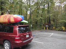
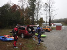
Put-in: Continue up Leggett Rd. From the bridge, it is 6.8 miles to a left turn on Clifton Bend Rd. Follow this for 0.6 miles to the large Chicken Coop on the right. We parked just outside the gate of that, in the wide gravel area. We had a shuttle driver, so I am not certain that this is good for a full day, we did however see some folks who were exiting the coop and got into a car there and drove off, they were nice enough, so it seems like it may not be frowned upon.
HTML Comment Box is loading comments...
