Rattlesnake Creek (South Fork Eel Tributary)
| Stretch: | Highway 101 to Big Bend |
| Difficulty: | Class IV+ to V |
| Distance: | 5.1 miles (or less) plus 1.5 miles on the S. Eel |
| Flows: | 400 cfs to 1,000. When S. Eel at Leggett is between 2,500-5,000 cfs, this will probably be good (we had 3,250 cfs). Current Dreamflows gauge |
| Gradient: | 101 fpm average (The goods are 144 fpm for 2.1 miles) |
| Put-in: | First or Second bridge over Highway 101 |
| Take-out: | Big Bend, River Runners Lodge |
| Shuttle: | 6 miles, 15 minutes one way |
| Season: | Winter from Rain (day of or up to 2 days after heavy rain) |
| Written: | © 2011 |
Last year (2010), I packed up the car and began driving the four hours to the coast to get on Rattlesnake Creek. Flows were going to be low, if there were to be in at all. The backup plan was going to be a run down Ten Mile Creek into the South Fork of the Eel. However, after little more than 5 minutes of driving, my partner in crime decided that the iffiness of the flows was not worth a four hour drive to get possibly skunked due to low flows. Turns out, the rest of the group had a fine day. Oh well.
In 2011, redemption came via a plan c option. With the first storm in almost two months bearing down on California, plans were hatched to go North. As the storm came, the snow fell and locked in all the rivers. As the week progressed, the snow fell at even lower elevations locking in more rivers. Finally, the night before a three day weekend began, the only option that would get us to a new river that would for sure have water was to head to the coast. And so I finally got on Rattlesnake Creek.
We had low flows, not ELF flows, but certainly low. I can imagine at high water the rapids join together quickly and the brush in places can become hazardous. For a first time down, I thought our flow was great, but once you know the lines I also think that more water would be fun as well. The nature of the river will not be for everyone though. The rapids were generally class IV with maybe a few class IV+, however the consequences were severe. Many pin spots and sieves were in play as well as brush. Furthermore, the riverbed is relatively wide for a creek with this flow, thus flipping would be a painful experience. Basically, this run falls into the category of worth doing once for an out-of-towner such as myself, however I would not go out of my way to head back there... though I do have friends that have done it a dozen times. There is nice scenery to keep you engaged, as well as a couple of cool tunnels to add to the experience.
One final thing, the guidebook says 3 portages. Our 1 portage was due to wood. And there is one potential portage in the top most mile due to low water. The wood is certainly in play and I would imagine flows would clean or make ugly several lines, so scout and make your own decisions.
Thanks to Paul Gamache for sharing photos.
Mi 0:
- Not a whole lot happens in the first mile. This section is done to extend the run as it is a short day and a few hours from just about anywhere that a kayaker is likely to live. Be aware though, that at low flows there is apparently 1 possible portage around a sieve.
- Rest Area put in is 1.1 miles below the upper bridge. This section too is done just to extend the day and make it a more full experience. There is one cool gorge here though with class III- rapids in a tight gorge.
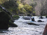
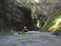
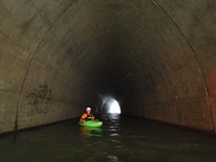
Tunnel (III-). Just below the mini-gorge, is a tunnel blasted through a rock wall where the highway was built up in the river bed and the river needed a new path. At the exit of the tunnel is a small ledge best run left.
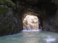
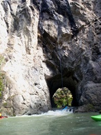
Portage (IV+). The rapid is totally runnable (albeit with a lot of sieves very much in play). However, our day there was a tree hidden in the exit slot. Very difficult to see from anywhere but downriver. Thus making it a portage.
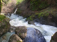
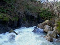
- Post-Portage (IV+). Just below was a rapid that looked to be a sieve pile. After extending the previous portage and putting in below, we are able to see that the exit on the left went. Oh well. It was sketchy though, lots of sieves in play.
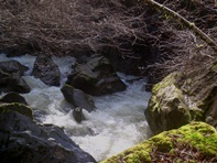
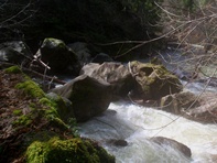
Flat water continues.
- Weir (III to IV). Just above the underpass of highway 101, there is a small ledge. We ran far right. With more water I could see this getting a stompy hole.
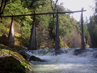
Just below the weir is a tunnel under Highway 101 and a potential put-in.
- First Set (IV+). The first set of rapids was the best. We had a person hop out to scout most of them or at a minimum dry dock at the lip on one side or the other to aggressively boat scout the drops. After the first good boof came a long rapid run down the middle through some good holes. Next was an easy drop down the left, and last was a boof to a f-you rock that should be avoided left with a small ledge downstream with a hidden piton rock that you see at the last minute.
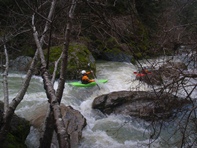
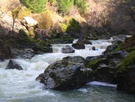
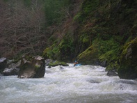
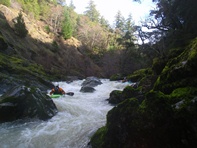
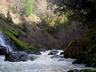
Large Rock (IV). If the tree were not blocking 90% of the correct channel, and the ferry over the tree not requiring flirting with a bad sieve and pin combo, this rapid would be a lot easier. As it were, we had to expose ourselves to get to the left and to the safety of the run out.
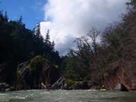
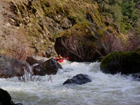
Willows (III). Lots of willows. Follow the main flow of water.
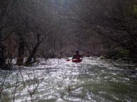
- Long (IV to IV+). A long rapid. We entered left and worked our way right around some boulders. From there we boofed the exit hole. This hole could get sticky with more water, a big eddy is downstream on the left just above a very sievy rapid.
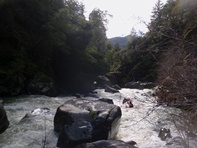
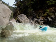
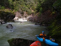
Sievy Rapid (IV+). The move is easy, just don't mess it up. Down the tongue at the top, then get right. Most of the current heads left into a sieve pile that would be disastrous to go into. Once around the sieves, again just straight shot it through the boulders. Easy scout on left (or walk).
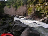
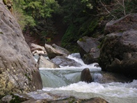
Junk (IV+). The junky rapids pick up, one in particular is pretty blind from above, scout right to ensure no new wood is in it. It ends up being a straight forward boulder dodge down the middle.
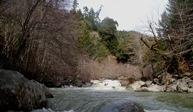
- Confluence (IV to IV+). You will see powerlines overhead and a few structures. We rand won the center, punched a few holes, grinded a few rocks, and made our way through some willows.
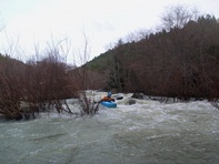
Once on the South Eel, the next rapid is great fun down the far right, it looks like you are going to be in willows, but it is good to go and good hole punching fun.
Take-out: Take Highway 101 North out of Willits. After 38 miles take the Highway 271 exit. Go left and follow it for a few miles. Nice vistas of the final few miles of the river are seen out the window. When you see the "Rivers Run Lodge" sign on the left, turn left on the dirt road. Stay on the main road heading down hill. You can park on the left out of the way. Expect to pay a fee or $10 per person or so. The owner also asks that you call in advance.
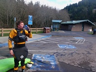
Put-in: Get back on Highway 101 going south. Within 1 mile you will cross Rattlesnake Creek, this is an optional put-in. Continue another 1.5 miles to put in at the Rest Area, or even further upriver at the next bridge 1.1 miles further south from the Rest Area.
HTML Comment Box is loading comments...
