Pocket Creek
| Stretch: | Bridge rd to Bee Branch or Sequatchie Cove Creamery |
| Difficulty: | Class IV+ to V |
| Distance: | 3.6 miles (or 0.5 miles hiking plus another 4.4 miles of paddling) |
| Flows: | 0.5' to 1.5' give or take on the put-in gauge. Look for 2+ inches of rain within previous 12-24 hours. |
| Gradient: | 188 fpm average on Pocket (Bedrock is 277 fpm from 1-1.7 mile, Bedrock is 254 fpm from 2.2-3.6 mile). Paddle out is 55 fpm. |
| Put-in: | Bridge Rd off of Pocket Rd |
| Take-out: | Bee Branch dirt road or downriver on Coppinger Cove Rd near Sequatchie Cove Creamery. |
| Shuttle: | 20.1 miles (30 minutes one way) or 1.9 miles driving plus 1.5 miles of hiking with 700 ft elevation gain |
| Season: | Winter, and Spring from rain |
| Written: | © 2018 |
| Featured in Video A Wet State #147 | |
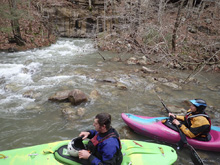
Snowmaggeden December 2018. So, a really cold storm hit. We made plans to head south to where 1) it was warmer and 2) more rain was expected. The morning came and Jim & Caleb had come up with the Pocket Creek idea. It needs a lot of rain and was far enough south it was also out of the snow. So a plan was made.
To be fair though, I wasn't really sure about the plan. Kirk calls the run class V. In my experience Kirk is usually right. This is a concern right now as Diane is 4 months pregnant. And if my 50% of the genes for that child doesn't set them back far enough, we certainly don't need the potential for a crash on class V making those pre-existing conditions any worse. In this lone example however, American Whitewater actually rated something easier... calling it IV to V, and stating that at the lower end of the flow spectrum it is mostly just IV. So, with that in my mind, we agreed to the plan.
As we left the house, the snow as dumping, I guess we got out just in time. Though the slow driving did extend the 2 hour drive to roughly 3 hours. But caution was required because there were numerous cars off the road.
There are two options to take-out. The common option is to hike out after the rapids, some 700 ft elevation in about a mile, and then depending on the 4x4 capability of your car, potentially another 0.8 miles to the pavement. Using Diane's pregnancy as a great excuse again, we decided that her carrying her boat that far would exceed the strenuous level of activity that she has been told to avoid. So we looked at plan B. Plan B is to continue paddling, apparently a lot of water disappears into a sink, and there are forests of trees to dodge, as you paddle out 4-6 miles on the Little Sequatchie River, but to Diane and I, that still seemed favorable. Luckily, Jim and Caleb were both also ok with that plan. And as luck would have it, one of the family members who live on the farm at take out was walking around, and was super nice and welcoming. This was good because the access is tucked on the far side of their farm, though I think it is a public road, having the local family be cool is certainly nice... so future kayakers, be considerate and don't ruin that! Also, while you are at it, buy some of their fine cheese (Sequatchie Cove Creamery) at a store near you!
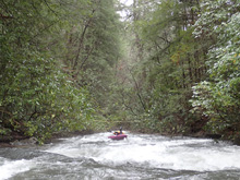
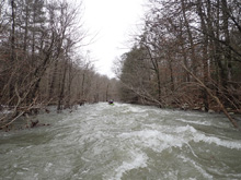
Arriving at the river, we found we had lowish water, but not ELF low. I was happy. Not only because I didn't want to have a class V day, but also because with the wood situation on this run in past years, having eddies to catch is key. Wood is plentiful. And our day was no different, at least at the start. The paddle in has a few small rapids, we portaged several times, maybe three or four. This then gets in your mind, so by the time that the Chimney Rock formation comes into view, you are aware of the caution that needs to be taken. The first section of good rapids are long bedrock slides, usually around blind corners and low angle before exiting over a final bigger step. Scout them all before dropping in to check for wood. After three bigger slides, you get to the biggest slide which is two tiered and ends in a 15 foot non-vertical drop with a slide undercut on the right. You then have a small distance of mellow boulder gardens that aren't always super clean. Soon though, the river gets steeper and you are greeted with high quality, and class IV to V boulder gardens. These should be scouted as some have hazard areas to avoid and depending on your flow, could also hold sticky holes. Two thirds of the way down this part there is a commonly portaged drop that is bigger than anything on the run and has had wood in it the past few years (2018). Downstream, you will enter the final hurray which is a long multi step rapid that is class IV to IV+ moves and packs maybe 6 or 7 tiers to it. What a way to end of the rapids. Downstream, two or three easy rapids lead you to the hike out spot.
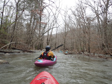
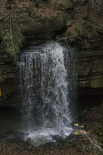
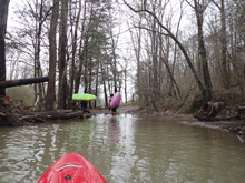
If you choose to not do the hike out, you continue on and 100 yards later most (or ALL in our case) of the water disappears. We got out and started walking. 100 yards later we saw a cool waterfall where the water exited a crack in the rock, fell 20 feet, and went back under the rocks. We walked for under a half mile on the 4x4 trail to where 50% of the water came back out via a crack in the right wall. This enabled us to float a half mile through an acceptably paddleable forest to where the Little Sequatchie joined on the right. From there, the river was clear and class II rapids took us quickly down to take out.
In total, I would say that the paddle out takes longer, but was not nearly as bad as the sources say it is. I thought it was interesting to see the river disappear, to see the waterfall, and then to see the water reappear. Plus, we got to paddle another river. So yea.
For the record, we had something like 0.6 or 0.7' on the gauge. I felt this was a bit lower than I would have preferred for the bedrock, but was fine for the boulder gardens. I have seen video down to 0.3, dang that must have been low. And I know folks run it at 1.5'... which would be sweet for the bedrock but scary for the boulder gardens. And finally, we had ~2 inches of rain within the 24 hours preceding the trip. My parting thought... going in I had heard that this is one of the best creeks in Tennessee. Kirk has it rated 5-stars. I think that it was good, perhaps with a more ideal flow it would be 5-stars. But, the effort is high. Scouting and portaging in rhoto sucks. If you knew it was clean and could bomb away I think it would be awesome, but it is so seldomly run that you can't do that. So yea. I liked it, but not 5 stars worth. Also, I think at our flow I agree more with AW's rating but can see how Kirk's rating of V could be present at higher flows too.
Finally, although I don't have too much class V listed below, I think the boulder garden section would link up so tight, and generate powerful holes at higher flows that it warrants that rating. Even at lower flow, you wouldn't want to flounder through rapids as often the next rapid is just on the other side of an eddy. So, approach the river with care.
Mi 0.0: Mi 1.0:
- Early Slide (III+ to IV). The first slide was straight forward after a straight away and has a step down at the end that drops maybe 5 feet.
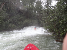
Little Pinch Ledge (IV-). Immediately below was a constriction against the left shore, we ran down the left with right angle. Check for wood for sure.
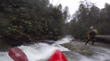
Second Slide (IV- to IV). The second slide is as you are under the Chimney Rock formation, and quite literally this slide bends around the corner formed by the formation. The corner is blind, scout right. Run down the middle the whole way. The bottom ends in a 5 foot step down into a ramping hole. I bet at higher flows this hole can get meaner.
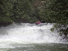
Wood Portages (U). Downstream we had a few wood portages. Apparently this area is often full of wood.
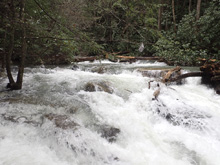
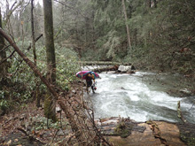
Pocket Rocket (IV). Wood at the top forced us into portaging the entrance s-turning slide. We slide in just above a small ledge which then dropped onto a low angle slide which eventually, you guessed it, had a step down at the end. Try to avoid far right as it would land you in Rhododendron hell.
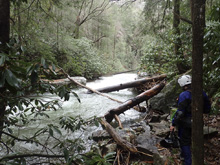
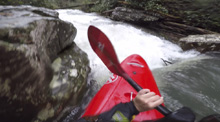
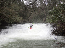
Banana in my Pocket (IV to IV+). One of the longer slides, and also I would say the most likely to cause issues. This should be scouted on the left. A small ledge at the top needs to be boofed. The river then splits around a shallow bedrock island, we went left but stayed on the right side of that channel for a 8 foot vertical step down. Being on either shore would result in Rhodo tangle.
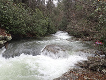
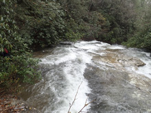
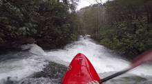
Small Boof (III+). After a small low angle slide, the river bends left around a corner and goes off a small ledge. It is two tiered with the top being a small slide, run it aiming at the left rock. Then shift right a little for the ledge.
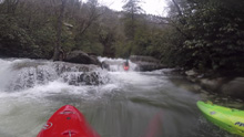
Hot Pocket (IV to IV+). Downstream is the biggest in the bedrock section. This one should be scouted on the left, all the way to the base of the falls at the bottom as it occasionally collects wood. The top is a small s-turning slide, you then want to drive right of center for the middle tier which is a steeper slide. The water wants to go left, but that has overhanging Rhodo. This leads to the final tier which is maybe 12-15 feet tall, non-vertical drop that should be run somewhere left... far left is ok, left of center is ok, mainly just have left angle. The right shore is a bit undercut.
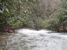
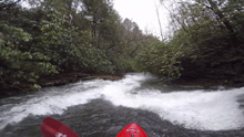
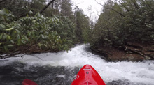
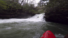
- Boogie (III to IV-). Immediately below the exit pool of Hot Pocket, you get to boogie boulder gardens.
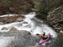
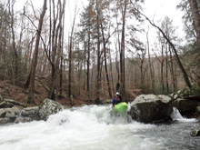
- Pocket Pool (IV+ to V). Eventually, you get to the first big boulder garden rapid. At low flow it was just IV+, but I am sure at high flow, when the middle hole gets juicy it changes to class V. A fence of rocks forms the top, we went straight down the middle and through a small entrance hole. This led to the bigger ledge which we boofed far right on. Clear the hole, and then go with the flow back to the right down the exit slide. Hopefully you are upright as at the very bottom are shallow rocks.
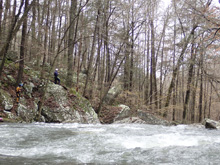
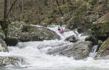
Boogie (III). The exit is mellow enough, but the left channel was full of wood, so we boofed down the right and then looped out and back to stay far right.
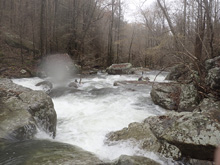
Deep Pocket (IV+ to V). At high flows, I know some people walk this one. It is the biggest hole on the run. We entered right and either 1) caught and eddy on the left to use to ferry out to carry right momentum or 2) ran direct, swinging wide and using a curler to move back to the right. At the bottom, you want to be far right despite the water moving back left. There is 25% of the channel that is a softer spot on the edge of the hole. The rest packs a punch for sure. Scout right.
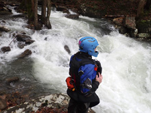
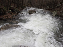
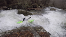
Boogie (III to IV). Downstream is some boogie. We started right, worked through a center slot, and then boofed a meaty slot far left.
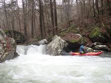
Upper Pocket Pussy (IV to IV+). Scout right. This one has a boof on the right that you want to run with a little left angle. This will help you clear the undercut jutting out on the right in the pinch exit immediately below. I imagine as flows rise, and this small pool before the exit backs up, this one gets some teeth.
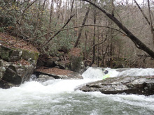
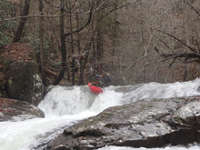
Lower Pocket Pussy (IV+). One of the better drops on the boulder garden section. A nice entrance boof can be run any number of places. The exit is through a tight slot that exits over a 7 foot ledge or so. Try to get a good stroke. This and the rapid above are apparently called Pocket Pussy because if you sometimes get squirted out. (I am sorry, I did not name this, nor create that meaning... and boy boaters wonder why girl boaters complain about the sexist underlying nature of the sport. The next write-up I have on my list, South Sauty, has a rapid called "Tits" as well... so yea, I get it. Sorry women).
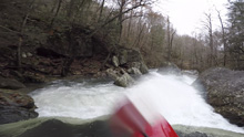
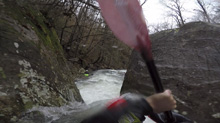
Right Corner Pocket (IV to IV+). The river spreads out amongst some trees, with the flow going all the way left, then back right in front of a pile of large boulders before heading down the right bank around a blind corner, before dropping over a powerful ledge. You want to run down right of center and boof the ledge to exit down the right. The hazard here is going far left would end up with you back in a pocket backed up by rocks. It would be a very bad spot. Luckily, it isn't hard to avoid. A small slide just below should be run down the left.
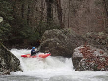
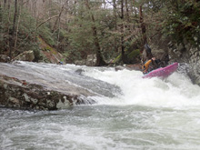
Double Drop (IV). Such a sweet rapid. "That's just fun" acclaimed Jim below. The top was a nice boof off an obvious midstream rock. This then lands and drops through a soft hole in the pinch exit.
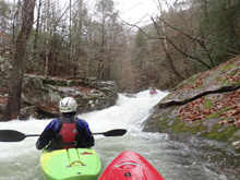
Out of Pocket (V to P). This is most commonly portaged on the left. It sorta sucks to walk, you have to go high on the ridge line and then drop down steeply a short ways below. Portage early when you get to the huge boulders that form this rapid. There is a line through though it involves boofing into a seam and melting it over a drop into a good size hole. For us though, there was wood. So, it was a non-option regardless.
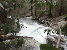
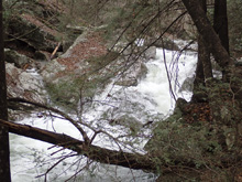
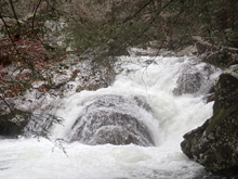
Pocket Full of Posies (IV+ to V-). This is a nice long rapid, scout on the right. We ran down through a small entrance on the right before scouting. The top move of the main rapid is a tongue down the right that you want to be on the left of. This then moves fast to a pocket on the left where the water slopes off into. Drive right for that. There is a small eddy on the right and left just downstream. The next tier is a sweet boof right of center off of the left shoulder of a rock. Land in the eddy on the right. The exit of the rapid starts with a sticky hole that you want to drive hard right to left on. The runout is read and run down the left.
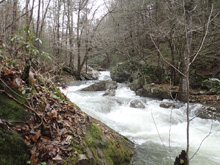
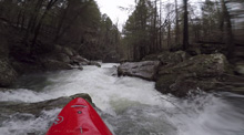
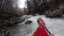
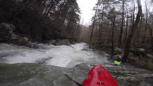
Pocket Protector (IV+ to V-). At low flow, the two moves that form this sweet double drop had enough breathing room between the moves to reduce the difficulty. The top one has two lines, you can boof left of center off an 8 foot ledge, or run far right to slide down. Both were good. The exit is run far right ferry into the channel in front of an undercut to drop the next 8 foot steep ramp.
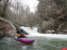
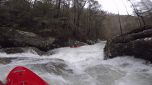
Boogie (III). Two smaller rapids are left below this point...
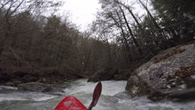
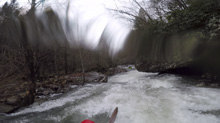
- Hike-out Access. After two or three smaller rapids, you will get to a 4x4 trail on the right. This is the hike out spot.
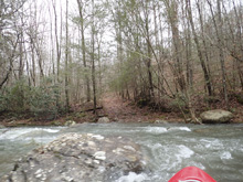
Boogie (II+). A little more boogie...
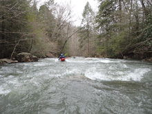
- The Sink. The river disappears underground. We got out on the left and started walking, crossing the dry river back to the right quickly. It is worth walking up the hill 20 feet before starting to walk the nicer road as there is a cool waterfall to see. Apparently sometimes there is enough water left to paddle.
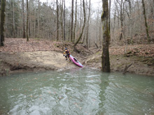
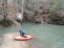
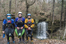
- Little Indian Creek Confluence. Another sizable creek enters on the right. This time our water turned browner.
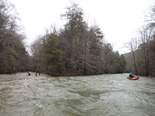
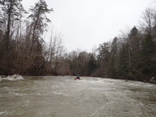
- Island (I). After a long straight away, a sizable amount of water drops off to the left. Go straight all the way to the end to join the water that heads off to the right side of the island. Otherwise, you will end up a mile or so downriver of your car.
Paddle Out Take-out: Get yourself to the town of Sequatchie. On the north side of town, head North West onto Coppinger Cove Rd. Follow this for 2.6 miles. Eventually you will pass through the Sequatchie Cove Creamery farm, drive slow. On the far side, park in the pull out 100 yards before where the road crosses the river via a summer only path that will be under water.
Put-in: Head back out towards Sequatchie. Turn left onto Valley View Highway to head north. Continue for 5.5 miles before turning left onto TN-28. 100 yards later, turn left onto TN-108. Continue on TN-108 for 7.2 miles before turning left onto Pocket Road. After 3.2 miles, look for the small road dropping down to the left which quickly comes to the parking area just before the bridge over the creek. From here, to the hike out spot, is super short...
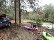
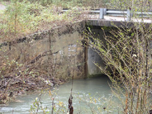
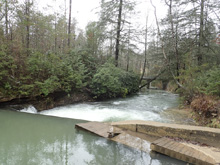
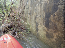
Hike-out Take-out: From the put-in, continue on Pocket Road (the last road before dropping down to the bridge) for 1.9 miles. There will be a dirt road on the left a hundred yards before you cross Bee Branch. That is your spot. You can try to drive 0.8 miles further down that dirt road before it begins to drop steeply. From the river, you will see a small jeep trail, take that 100 yards and turn right at a much better defined jeep trail. A few switch backs later, an ATV trail will climb steeply up to the roundabout at the rim. If you don't have serious clearance, it is a flat 0.8 miles further to the pavement.

HTML Comment Box is loading comments...

