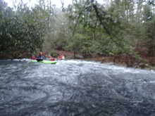
Piney River
| Stretch: | Moccasin Creek to Shut In Gap Rd |
| Difficulty: | Class III to IV (starts feeling class IV to V at 4') |
| Distance: | 10.4 miles |
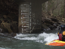
| Flows: | Visual Gauge at Take-out. 2' to 4.5'. New (2021) Steambeam Gauge should correlate 1:1 to the visual gauge. Look for 1.5 inches of recent rain or more. |
| Gradient: | 76 fpm average (181 fpm from Signal Falls to Hungary Jack) |
| Put-in: | Pine Creek Rd Bridge over Moccasin Creek |
| Take-out: | Bridge on Shut In Gap Rd |
| Shuttle: | 10.6 miles mostly on dirt road. (30 minutes one way) |
| Season: | Winter and Spring, rain |
| Written: | © 2015 & 2018 |
I first tried to get this river earlier this year in the summer (2015). After coming back from Norway, Nate Helms gave us a shout that this run would be on the high side and should be a blast. As we were driving out there, the rain pelting, we all began to fear that it would be on the very high side of very high and diverted over to Island and Little Clear creeks.
This next opportunity came just after Christmas. A day after doing Ramsey's top to bottom John Trembly decided he too wanted a mellower relaxation day. Meeting up with a group of his friends as well as Caleb Paquette, we made our way to the river. The first mile or so is on Moccasin Creek. A mile or so of boogie leads you to the crux of the run as class IV drops appear in quick succession. By the time we got to that section, one member of the group had 3 swims... certainly a bit off their game or perhaps a little in over their heads. In one of the more comical statements the friend of John's who invited us into their group, as the person pulled their skirt for the third time paddled over to us and said "well guys, we will be seeing you later!" Without even asking for it we got permission to head on down river with our small group of 3. Making quick time through the short crux section and floating through the peaceful gorge below. We got to take-out and made wagers on how long it would take the other folks, and how many swims and how many portages the person would end with. It turns out it only took them 2.5 hours longer and they only had 1 more swim along with 1 more portage. We all lost.
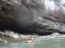
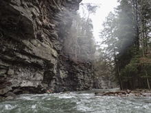
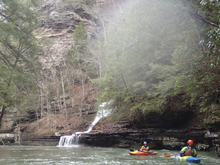
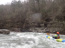
The section of rapids really is fun. And the scenery really is quite nice. At one point you follow the base of a cliff that runs for a quarter-mile. At the take-out bridge there is a gauge painted. We had just below the Mark Comnock minimum line and I would agree that for an enjoyable time this is minimum. The main rapids all had enough water, but the long paddle out got scrappy at times and more water would have been welcome.
Update 2019 This year, I have gotten two 4' laps. This is definatly on the high side, and feels much more like class V from Guardian Falls to Grand Finale. Below, the paddle out is busy class IV non-stop to take-out. Only go in at 4' if you are solid and know the lines, as many rapids are long and blend together at these flows. With that said, it is a complete hoot. Super fun for those looking for something interesting.
Mi 0.0: Mi 0.9:
- Piney River Confluence. Piney River comes in from the right and you are greeted with more water. It isn't too far to the first rapid.
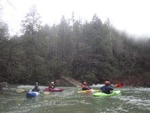
- Guardian Falls (III+ to IV-). A straight forward 6 foot ledge should be boofed down the middle.
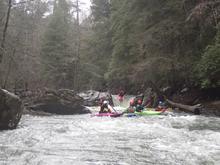
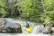
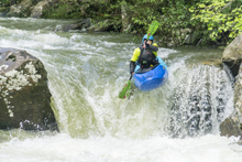
Boogie (III). Downstream is a lot of fun boogie. Most of it at the lower flows I had was more technical than anything else. But I bet at high flows this section is class IV with some holes to punch. This section abruptly changes and constricts and feels more canyon-ed as you enter the next section.
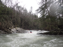
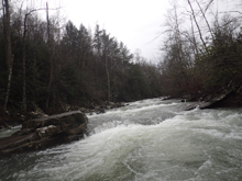
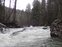
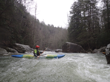
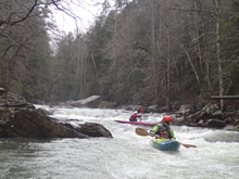
- Signal Falls (III+ to IV). Just one rapid after the river character changed, you will enter this rapid. A few easy moves lead to a river wide ledge. We boofed straight over the middle. At high flows be as far left as possible. Don't go far right at any flow.
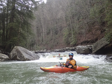
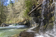
- Sweet Slide (IV). I don't know if this has a name, but damn this way my favorite drop on the run. A ramping slide then led to a curler that type writered you to the right and deposited you on another slide that led to a 4 foot tall ledge. Hit is straight as the hole at the bottom was reasonably sticky... but if you are straight it is no problem.
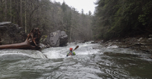
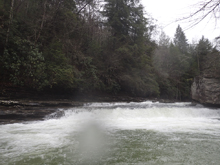
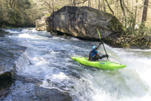
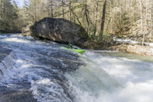
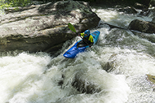
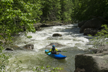
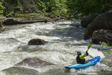
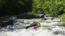
Junk (IV). Downstream was a super junky rapid. We entered middle moving right. Then ferried back left. Once there it was straight forward down the left. The bottom almost looked like Hungary Jack but instead was straight forward. The reason for the entrance and ferry etc is because it is rather junky and sievy. You don't want to continue down the right after the entrance, that's for sure. Immediatly below is a fun slide that has a hole that is bigger on the right and mellower on the left. Update 2021 For the past 3 or 4 years there has been wood in the right, requiring a left channel sneak down the entrance. Update 2024: This year there was wood in the right entrance, wood in play on the left sneak (we still ran, pictures below) and then wood in the normal left exit. It turns out the right and center exits aren't as junky as I always assumed as we were forced to explore them, some ferried to the far right exit above the midstream rock, some ferried immediately below the midstream rock for a more center line. The moral of the story, this is a good one to be careful on and hop out to scout if you see wood, or perhaps even if you do not.
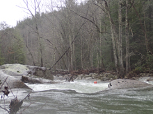
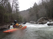
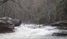
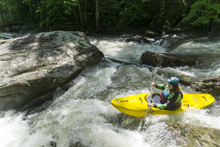
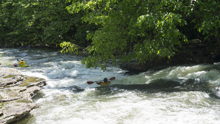
- Hungry Jack (IV). This is the most consequential rapid on the run. We entered far right and rode the tongue under the first undercut (instead of punching the adjacent hole) which then made moving to the left easy to avoid the decapitating rock at the bottom on the right. This was more of a finesse move and most people will probably find just punching the hole with left angle and momentum to be more straightforward.
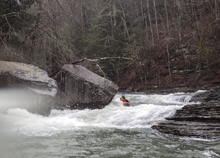
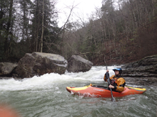
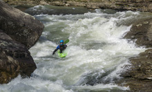
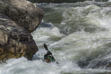
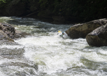
Slides (III- to III). At high flow, I sneak all these slides on the far left as they develop some mean holes. At lower flow they are more straightforward down the middle.
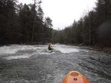
- Grand Finale (IV-). The last big rapid is different at different flow. At low flow, down the middle is good to go. At medium flows, start far left as the river slams right into the undercut at the top. At high flow, start left and drive the tongue back to the right to avoid the large hole 100 feet downstream.
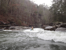
- Boogie (III). The river eases off quickly
- Windstorm (III). On a sweeping left turn is the site of where a tornado once rolled through the valley. This is the busiest section of boogie. After it lets up, watch out for another ledge 200 yards downstream which is a sweet boof on the right.
- From here it is basically just boogie with no real standout rapids. An occasional class III-ish rapid keeps it interesting. The scenery though is unreal. There is some really nice scenery in this area.
Take-out: Heading South on Highway 27 in Spring City, TN, turn right onto Piccadilly Ave. Follow this to Wasson Memorial (TN-68). Turn right. A quarter mile later, turn left on Shun in Gap Rd. Follow this to the park just before the bridge over the river.
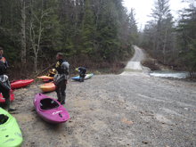
Put-in: This is much more complicated, it was nearly all dirt road and had numerous forks to take... and lots of gates. I would highly suggest you mark the GPS coordinates in the map below into your phone and use that. Generally, we continued 5.1 miles past take-out before turning left on Forest Camp Rd. Then 0.4 miles later turned left onto Walden Mt Rd. 2.7 miles later we turned right at a fork. We then continued for 2.3 more miles to the culvert over Moccasin Creek and put-in here. Note, the logging trucks make wide turns here so make sure you park out of the way as best as possible.
Update 2018 Alternate Put-in: In 2018 I went back, and the Shut in Gap road was being paved, so the road was closed. So I learned that the original put in was on Piney Creek proper, befor ethe logging roads up to Moccasin Creek existed. So we put in there. This is a longer shuttle, it does have a longer paddle in, though there are some fun class II to III rapids in the paddle in which is nice. Also, this day, it was surprising when we paddled past Moccasin Creek, there was only maybe 20 cfs coming down it, not nearly enough to have paddled. But Piney proper had plenty! So, know the options! To get to this put in, go back out to Highway 27 and head south to Evansville. There are two roads to choose from, one is often blocked by trains waiting for passing trains (Evansville Mountain Road). So instead, we used Payne Lane which is the street that Dayton Gold and Country Club is on. Take this to the four way stop which comes in 1.5 miles. Take the left onto Evansville Mountain Rd and climb the plateau for 2.6 miles before turning right onto Wash Pelfrey Rd. Follow this for 3.8 miles to the bridge over Piney Creek.
HTML Comment Box is loading comments...

