Patterson Brook (Upper Whites River)
| Stretch: | Above Granville |
| Difficulty: | Class IV |
| Distance: | 1.25 miles |
| Flows: | Look for New Haven to be 600-1000 for a low to mediumish flow generally. Or Mad to be 1,600+ cfs. USGS New Haven River gauge and USGS Mad River in Moretown gauge |
| Gradient: | 198 fpm average |
| Put-in: | Patterson Brook Rd and Hill Rd Junction |
| Take-out: | Hill Rd at VT-100 |
| Shuttle: | 1.2 miles, (4 minutes one-way, dirt, can be a little rutted) |
| Season: | Spring off snowmelt, summer and fall off of rain |
| Written: | © 2021 |
-
North East Road Trip 2021: Day 11 and 12 Morning
We ran this nice little creek twice, two days in a row, and two very different flows. The first day we ran it before heading North to run the Gihon and the Green. The second day we ran it before running the Top and Lower New Haven.
At the higher flow (no idea if this correlation is worth anything, but the Mad was at 2,000 cfs and rising) the run was a non-stop set of rapids with some stacked holes and classic fun. It reminded me of Middle Tremont in the Smokies, but shorter and with more of the good stuff and less of the in-between stuff. But similar in difficulty, continuous nature, and scenery. I would rate the run a solid class IV at that run just because there were plenty of places to get stuck in holes and a swim could be a long affair. At the low flow (the Mad 1,570 and dropping) the run was much mellower with more plentiful eddies, more time between moves, and much less powerful holes. I would say it was on the easy side of class IV, perhaps even mostly III+ aside from the few major drops.
The run is short, the road is along the river but not in your face, so laps are easy to come by. But, if this is running at a good flow, there are likely a number of options around as it takes a bit of rain to get this to come in, and it doesn't stick around for long.
Mi 0:
- Boogie (III- to IV). Depending on your flow, it will either be low water rock dodging class III- or will start off continuous class III that feels sorta IV ish.
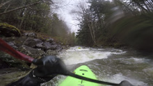
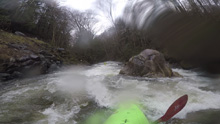
- Upper Gorge (IV). What a pretty spot. This starts off with a ledge at the top that was more sticky than I expected at the low flow, and more flushy then expected at the high flow. Below, the river slides and richochets off each of the narrow walls down to the exit which is at a wonderful spot where Gulf Brook cascades into the river.
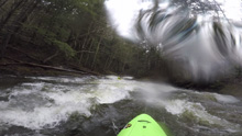
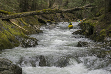
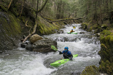
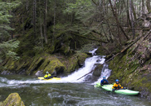
- Lower Gorge #1 (IV). This one was cool. The entrance was a sorta sliding ramping thing on the right wall. Then you go left to run down a series of ledges with holes. It was super fun. At low flow the runout was mellow, but at higher flow those ledges packed some punch.
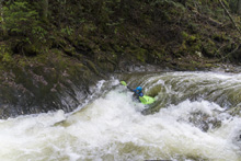
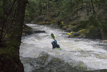
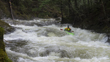
- Lower Gorge #2 (IV). The second gorge rapid in this section has some small ledges that you run down generally right. This then leads to a larger and more powerful ledge. At high flow we boofed far right. At low flow there was a guard rock there so we boofed middle. The hole was bad at high flows but pretty mellow at low flow.
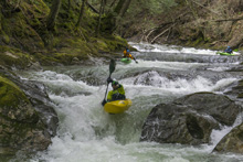
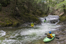
Boogie (III to IV-). The boogie continues at a nice rate all the way to take-out. There is one cascade in here that looks sorta bad and junky from above but that goes easy enough right down the middle.
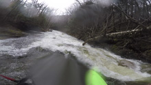
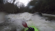
Take-out: As you enter Granville, heading south on VT-100, look for the river just as you enter the town. As soon as you see it, turn right onto W Hill Rd which goes up river left. Park immediately next to the buildings.
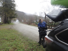
Put-in: Head upriver on W Hill Rd. Stay left at the fork after a half mile or so. Continue past the first parking area / trailhead you see. Continue until you get to Patterson Brook Rd. There is a turnout next to the river at the Junction. Or you can continue up for another mile apparently, no idea what it is like up there though.
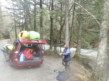
HTML Comment Box is loading comments...
