Oconaluftee River (Smokemont Campground to Visitor Center)
| Stretch: | Smokemont Campground to Visitor Center |
| Difficulty: | Class II to III |
| Distance: | 3.75 miles |
| Flows: | >900 cfs to ~3,000 cfs. See the USGS gauge gauge. |
| Gradient: | 46 fpm average |
| Put-in: | Smokemont Loop Trailhead |
| Take-out: | Oconaluftee Visitor Center. |
| Shuttle: | 3.7 miles (less than 10 minutes one way) |
| Season: | Fall, Winter, and Spring from rain |
| Written: | © 2019 |
So, a few years back when I ran Raven Fork, I saw this river along the road and thought it looked worthwhile. It wasn't until this weekend when we were heading up and over Newfound Gap for a wedding in Sylva that I had a reasonable reason to boat the class II section an hour and a half from home.
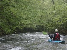
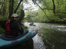
The river was low, but the scenery pleasant... typical smokies scenery of dense forest encapsulating the river. The river is roadside, but honestly for the most part the road did not detract from the day, as the forest is thick enough to hide it from casual view. However, for the class of whitewater that it is, it wasn't my favorite. There are a few distinct rapids, but mostly it is just kinda boogie in the class II- range. The short length of it also doesn't help as it is only maybe 40 minutes of on water time. Also, the continuous nature of the rapids, at low flow, don't even offer good training eddies and moves. So yea, not super classic in my mind. With that said, with double the flow two things change 1) you can double the length of the run and put in higher and 2) the river is less rocky... obviously. So, perhaps, it is more worth while then...
For reference, we had 1,000 cfs, which was for sure on the low side. A fun low, but I wouldn't really want to go any lower.
Mi 0.0:
- Boogie (II). This run is continuous class I to II with a few more distinct rapids. I imagine at higher flows, the consequence goes up as a swim is longer, so the experience is no longer suited for a class II boater.
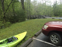
- First Rapid (?). So, I can't explain the rapid as I didn't know it was there. Park at the trailhead to get this rapid. We put in at the bridge just off the highway and missed it. Apparently it is the best rapid on the run.
Boogie (II).
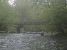
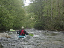
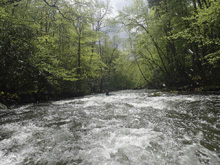
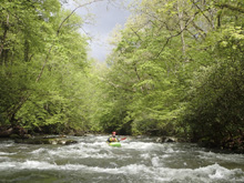
- Second Rapid (II+ to III-). This rapid is visible from the road just above the horse camp. The line was down the right, with the flow back to the center.
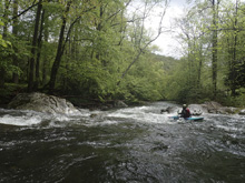
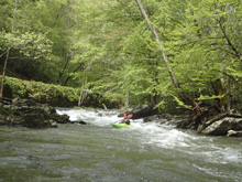
- Third Rapid (III- to III). A short ways below the horse camp is a nice multi step rapid. The lead in is runnable left or center. Then, the river splits and you get to the crux. We went right which looked to be more fun and carried more water. It starts down the right then the river turns left and you run down the wall. At high flow, I would be careful with the holes that would form on the left side as it is ledgy over there. Immediately downstream is some runout which in 2019 had a fair bit of wood in it and required a delicate move to thread between.
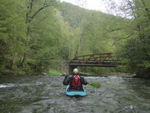
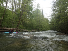
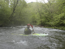
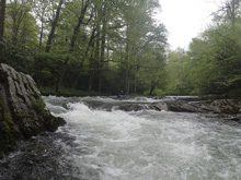
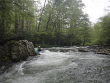
Boogie (II-)
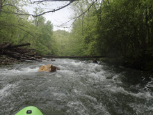
- Island (II+). A island which we saw from the road, the left side was full of wood so we went down the right. The channel was mellow enough but had a nice little ledge/hole at the end of the channel.
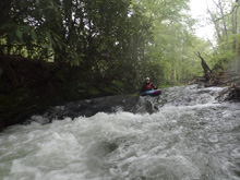
Boogie (II-)
Take-out: Just google the Oconaluftee Visitor Center to find it. It is 3.9 miles North of Cherokee on US-441 or 15.8 miles south of Newfound Gap also on US-441.
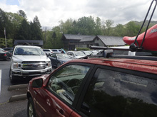
Put-in: Head upriver, towards Newfound Gap, on US-441. After 3.0 miles, turn right towards Smokemont Campground. Cross the river, and turn left and head up 0.5 miles to the trailhead. Not, we accidentally put-in at the bridge, not knowing about the rapid upstream.
HTML Comment Box is loading comments...
