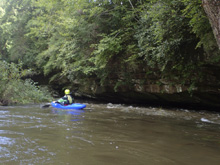
Obed River (Gould's Bend)
| Stretch: | Route 27 to TN-298 |
| Difficulty: | Class II to IV |
| Distance: | 9.6 miles |
| Flows: | 350 cfs to ?,000 cfs (1,200 would start to feel high, but I think the upper end for class V boaters is high). Check out American Whitewater's current flow gauge |
| Gradient: | 31 fpm average (85 fpm from mile 3-4.5) |
| Put-in: | Bridge on Route-27 |
| Take-out: | Bridge on TN-298 |
| Shuttle: | 9.4 miles, less than 15 minutes each way. |
| Season: | Winter and Spring from rain. Occasionally Fall from rain. |
| Written: | © 2018 |
The week after Hurricane Florence (2018), the plateau got nailed with several more days of rain. This was just after the first night's sprinkling, so there weren't a lot of options... but, I had not done this run yet, so I thought it would be a good day to get it, plus it was on the good side of flow which I thought would make the mellow sections go by faster.
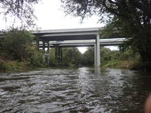
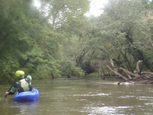
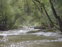
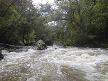
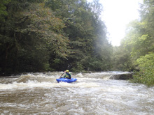
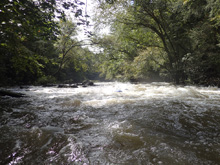
The run was actually better than I expected. The first few miles was moving class II to III- at our healthy water level and the green forest created a large tunnel which at times blocked out the direct light. Of course, the latter was because it was only September and yet the plateau was primed! Once we got to the good, we were surprised by the fun moves in this section. We also thought that the rapids felt more class IV than class III at the higher flow due to the power of the holes we ran through. But I can imagine at the lower end of the flow spectrum the rapids ease up. Regardless, the first one has some maneuvering and undercuts in play and is certainly a class IV, though I do not see how it could approach class V like American Whitewater claims. After the good mile, it mellows again before eventually becoming a flat paddle out for the last few miles. At the higher flow, there was current, but it wasn't a big current. I can imagine it becomes a little tedious at the lower flows.
I thought the run was a great little section to do for something different, but the fact that realistically there were only 3 class III to IV rapids, most class IV boaters will not have their adrenaline fill satiated, where as the class III boaters will not want to run those three rapids and will get a little bored with the fairly non-descript boogie on the rest of the run. Because of that, I by no means think this run is classic. But, certainly it is worth doing if options are limited and you are looking for something different. I had no regrets in the choice to do it that day, even though Daddy's Creek was also running... because I have done Daddy's so many times but haven't done this one before. For reference, we had 780 cfs.
Mi 0.0: Mi 3.05: Mi 3.35:
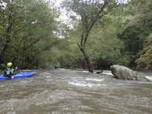
- Essess (IV to IV+). After a class 3 entrance, eddy out on the left to scout this drop when you see the river start to follow away and get pinched between large boulders. It is shallow, there are funky currents, and the exit is a pinch between undercut rocks. We talked about how to grade this rapid, I thought a class V boater will call it IV, which I agree with. However, at the same time, I would not encourage a class IV boater to run this rapid, so I also agree with a IV+ rating. It is somewhere in there though. But, at normal flows, not a class V as the AW write-up implies. So, the rapid starts down the right with a curling ramp which leads to a hole. Run the ramp right and moving left to boof the left edge of the hole. Then, you have a second before the crux. The crux is a ramp down into a big pillow formed off a submerged rock, I again boofed the left edge of this hole in order to easily drop into the exit slot and avoid the left wall down below.
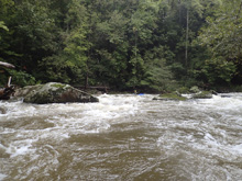
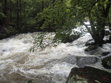
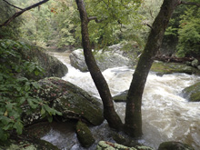
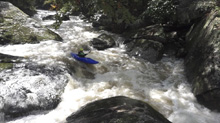
Boogie (III). Below, the boogie keeps up and is more fun.
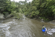
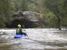
- Ender Falls (III to IV). The next section is steeper than the Essess, but also easier. At our flow, I would still say it was it was certainly class IV though. We entered left and cut far right below and entrance hole. There was an eddy on the right wall that we used to boat scout the exit ledge. The exit ledge is maybe 4-5 feet tall and was just a nice delayed boof. I can see this drop giving folks trouble though as it was sticky at 780 cfs though with a good stroke you can stay on the surface no problem.
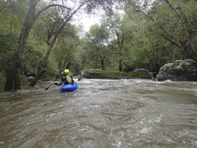
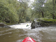
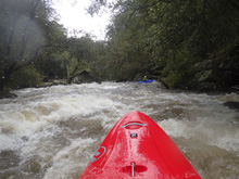
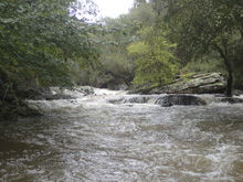
- Knucklebuster (III+ to IV-). Not far below, we got the last horizon line, and the last tougher rapid. We eddied out at the lip after entering through a small hole. I think a lot of folks would go far left and slide down the shelf. We went left to right following the bulk of the water and boofed into a deep hole/seam that was awesome.
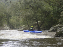
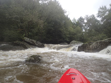
Boogie (III). Downstream, Boogie continues and is all read and run.
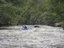
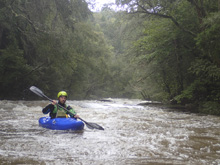
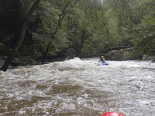
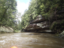
- And then, the river is almost completely flat. I was grateful I had the creeker for this flat water section. It was pretty though! And there was still some current at our flow.
Take-out: From the town of Crossville, head north on TN-298 for 9.1 miles. We parked just before the bridge.
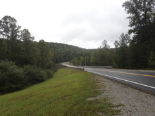
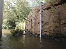
Put-in. Head back towards Crossville on TN-298. After 7.1 miles, you will cross Highway 40 before turning right on Interstate Dr. Follow this for 1.3 miles before turning right onto Old Jamestown Hwy and after just 0.4 miles, turn right again on North Main St (route-27). In half a mile, you will cross the river, park on the right at the Cracker Barrel.
HTML Comment Box is loading comments...

