Nolichucky River (Gorge Pre-Helene)
| Stretch: | Poplar NC to Erwin TN |
| Difficulty: | Class III to III+ |
| Distance: | 7.8 miles to 8.9 miles |
| Flows: | 900 cfs (some run it lower... but 1,200 felt low for the bottom 5 miles) to ?,000? (Heard over 3,500 cfs it starts to get pushier and meaner). American Whitewater's flow page. |
| Gradient: | 42 fpm for 2.7 miles and then 30 fpm for the remainder |
| Put-in: | Parking area where 197 meets the river |
| Take-out: | Chestoa Recreation Area near the bridge in Erwin TN |
| Shuttle: | 14.3 miles (30 minutes one way) |
| Season: | Winter and Spring, Rain. (Also runs lower most of the summer) |
| Written: | © 2015 |
Having Diane's mom visit was a great excuse for us to motivate to run some class III at low water... as with spring temperatures dropping back down into the 20s I know I would have bailed on that mission if it weren't for the guest. But as it was, it ended up being a great day.
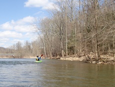
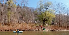
The scenery is really in my mind the great draw to this section of river. Although the railroad follows you down the entire canyon, some strategic floating with a generous right angle will leave you staring at gorge walls that are ruggedly rocky, full of bright vegetation, and rise some 3,000 feet above you. Make sure you occasionally look back up river as well to get views of some of the tallest mountains on the Eastern side of the states!
The rapids start off with the first 2.5 miles being the hardest. They start on the other side of the pool below put-in and continue until the canyon peels back. Most are long affairs with a few rocks and holes to avoid. I can imagine that with a couple of thousand in here this section is a non-stop rollercoaster ride of hole dodging! But thanks to the wide nature of the channel it can handle those thousands. And despite the wide nature, it also channelizes well enough for floats down into the 1,000 range like we had (1,200 cfs). If the first few rapids intimidate you you can always use the railroad to walk some of the bigger ones like Quarter Mile, though most are also portagable at river level if you are so inclined.
It is funny, one reoccurring theme in other guide sources online or in print is that the shuttle is long and that you can pay $20 for shuttle. "Long" meaning it is 30 minutes 1 way. The reason I find this funny is because I think only only in the SE is 30 minutes one way considered a long shuttle. I would compare Nolichucky to Chili Bar on the South Fork of the American in terms of difficulty, dependability, and length... and that has a 30 minute shuttle and yet is never even mentioned as "long shuttle." Especially when it could be like the 45 minute 1 way shuttles for 4.5 mile runs like E to P on the South Fork Yuba or Chamberlains on the North Fork American. But I guess everything is relative. But yea... the shuttle is 30 minutes one way and at the end of the day, getting the put in car almost certainly is not on the way home... so if you are so inclined, visit the Nolichucky Gorge Campground for a shuttle (I also saw a sign at the company at the corner of the take-out bridge and River Rd).
2024 Note: This write-up is from pre-Helene. The reports are of drastic changes. I will try to get updates as they become available.
Mi 0.5:
- Entrance (III to III+). The first rapid was fun fluffy affair with a few rocks/holes to negotiate at the top, we ran own the middle of them. The crux is that a lot of the water exits by hitting a midstream shelf. Work left of it.
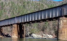
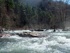
On the Rocks (III+). Just downstream comes one of the cruxes of the run. I felt this one is one of the harder rapids mainly because there are a lot of boulders forming pin or broaching potential. We took a line down the left channel following the bulk of the water. To exit there were three channels, all three went.
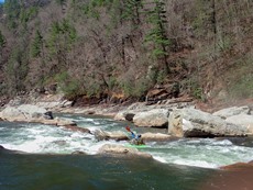
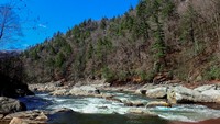
- Jaws (III-). A straight forward rapid which occurs on a slight bend to the left in the river. The river follows a shallow slide into a hole. The spot offers great surfing though at the low flow it was flushy and extremely shallow. Perhaps as water gets higher the hole is more serious... but at the lower flows it was a no brainer.
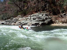
- Quarter Mile (III+ to IV). A long rapid starts with lots of large boulders blocking the river and the view to sort out your line from above. This rapid is certainly the hardest of the run due to length and the occasional hole to spice it up, as well as a few spots of congested boulders to give care to. We entered far left with the bulk of the water. This led us back to the right, the top had a thin line at the low flow between a hole on the right and a rock pile just below on the left. After bending back to the left just below there was fun boogie leading down for a third of the mile to the exit at Muphy's.
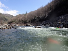
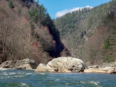
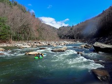
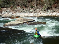
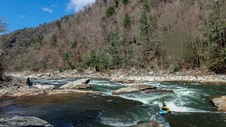
Muphy's Ledge (III—to III). At low flow the exit ledge of Quarter Mile was pretty mellow with nice lines far right or left. At higher flows it can be mean and has caused a fatality. At higher flows still run it far right.
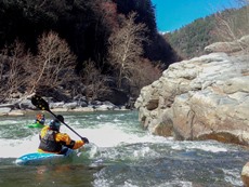
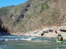
- Roostertail (III+). At low flow this was two rapids in quick succession in my mind making it a III+ though each was only on the easy III side. The first was a step down through a few small holes right of center. The exit was rocky on the right but with a clear line left of center. I bet this earns III+ at higher flows as the completely merge together.
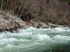
- Rollercoaster (III-). Two boulder gardens that are run right down the middle mark the end of the tougher top section. Though stay on your toes as there is an occasional surprise here or there.
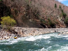
- Surprise (II+ to III-). A rocky congested area leads to a couple of channels. The far far right looked to have a nice ender spot at the bottom. We follow the main water left of center and boofed a sticky hole.
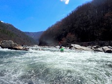
- Rock Garden (II+). The one spot that the low water was obvious... this rock shoal is impossible to avoid banging down. Just find the deepest channel you can and try to keep it straight. I bet lots of folks get spun around on rocks, flip, and don't enjoy this rapid.
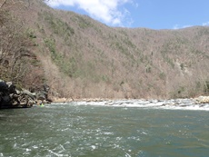
- Railroad Wall (III-). As the river bends right and the left bank turns into a wall for the railroad get ready for a ledge just downstream. We ran the meat of the ledge left of center but you can also run down the right which is more of a slope into a smaller hole.
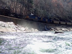
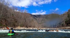
- Maggies Rock (III-). On the other side of the pool from Railroad, the river goes to the right down a small channel and has some splashy waves that leads to a hole in the center of the river.
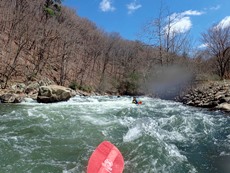
- Twin Eddies (III). After a long mellow section the river bends right and you get a smaller version of the Railroad Wall on the left signaling this rapid. The rapid moved left to right and had two offset holes, the first on the left and the second on the right. Error right. Big recovery pool below if you need it.

- Nolichucky Gorge Campground is on the right and offers an optional take-out for a fee. They will also arrange a shuttle apparently.
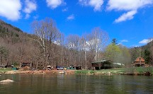
- Cowbell (II). Downstream in the islands is a squirtboat spot that is well known.
For more details on the run, see the AW write-up...
Take-out: Get yourself to Erwin TN. If you are coming from the North take TN-36 exit off of Highway 26 and turn left then right to parallel the freeway South for 0.8 miles. Turn left at River road and follow the river for another 0.5 miles. When you get to the bridge and Chestoa Pike, turn left and cross the river. Turn right on the far side of the bridge onto Jones Branch Rd and in 200 yards look for USFS Chestoa Recreation Area on your right. If you want to pay to take-out at the Molichucky Gorge Campground, continue up Jones Branch for a mile and change until you hit it. If you are coming from the South, take US-19W exit off of Highway 26, turn right and then left onto TN-36 and follow it 2.5 miles to Chestoa Pike, turn right and follow it until you cross the bridge and then turn right on the far side of the bridge on Jones Branch Rd.
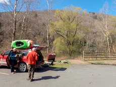
Put-in: There is a way through town... I am not going to detail those steps by steps. Look at a map if you want that. It is just as quick though to head back out to Highway 26 and head North (west actually) to exit 36 toward Main Street. Turn right on Harris Holly and then a hundred feet later right on North Main St. Follow this half a mile to TN-395. Follow this for 10.0 miles (it changes to NC-197 after 6.1 miles). After descending to the river, look immediately to the right for a small road that goes up and crosses the train tracks after 100 feet and then enters a parking area. This is the river access.
HTML Comment Box is loading comments...
