New River (Gorge)
| Stretch: | Cunard to Fayette Station |
| Difficulty: | Class III to IV |
| Distance: | 6.5 miles |
| Flows: | 1.5 ft to +12 ft. Current AW gauge |
| Gradient: | 20 fpm |
| Put-in: | Cunard |
| Take-out: | Fayette Station |
| Shuttle: | 21 miles (45 minutes one-way) |
| Season: | Spring is rafting season... |
| Written: | © 2011 & 2020 |
| Featured in Video A Wet State #52 | |
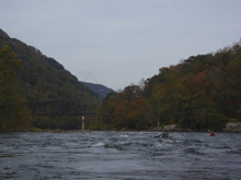
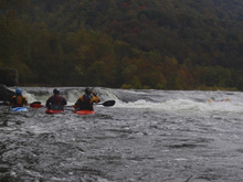
After three days on the Gauley, we decided to head to the nearby New River in order to get on something different. The take-out of the New River Gorge is just below the famous New River Bridge that has an annual shut-down day for folks to basejump off of it. The run itself is an alright beginner run. I thought that there was one set of rapids that was a solid class III to III+ at our flows (1.6') but that the rest of the run was more of a class III- run. We were hoping for some decent playboating, but alas at these flows there were only a few spots and none of them were all that good. In between the rapids are several long flat sections that certainly started to drag on for us. However, if class III is your normal cup of tea, than these flats may not seem as long. I would imagine with more water, the run becomes more fun and more playboating opens up. In the end, we certainly did not regret doing this run, it was scenic and it was nice to mix it up a little on our trip... but none of us were in a hurry to go do another lap on the run....
Update 2020: Finally after 9 years we went back in here, this time with a proper flow of 6'! I would say that the run was great fun at those flow, lots of surfing, and plenty of fun rapids with intimidating big water feel, though minimal difficulty all things considered. The downside is the longish shuttle for the run that barely takes over an hour at these levels. That is the downside to the high flow that makes the flats move quickly!
So with that, I am going to update this write-up to have some of the rapid by rapid descriptions because I remember more this time. But, in typical commercially rafted style, every rapid has a name on this run. And in reality, that just isn't necessary to describe every single piece of gradient on the river. So instead I will post the highlights...
Mi 0.45: Mi 0.9:
- Lower Railroad (III-). Big waves and a tongue down the middle. There is then a few smaller boogie rapids...
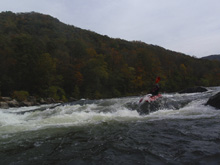
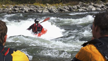
- Upper & Middle Keeny (III+ to IV). At low flow I remember the rapids breaking into two, but at 6' they were very much just one rapid, and the biggest on the run. You know you are here when you notice large gradient and the first monster waves of the run, plus "whale rock" which is a house size rock splitting the river one third left and two thirds right. We started right in the center of the main channel and drove left down the wave train to get into the big surging eddy behind whale rock. From here we could see down the "Middle" rapid which had a big gradient through dynamic exploding waves just a smidge left of center. It looked rockier and more holy on the far right and far left. This empties into a small pool that flushes quickly into the next rapid.
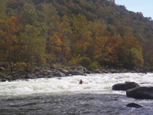
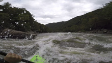
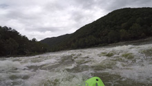
- Lower Keeny (III to III+). I remember at low flow this one was super dynamic and more challenging. At high flows it was just a wave train. The far left had a hole, but I don't know why you would end up over there... you would have to try, and also throw river reading judgement to the wind. Just run down the middle of the main flow and main waves!
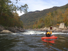
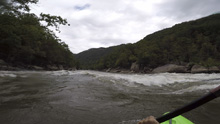
- Duddley's Dip (III-). Just a big wave train with a very wide line down the center. We got out because it looked like it would be bigger and I wanted a pic, but once out of the boat I could see it was mellow. Oh well. Its so hard to tell from 200 yards upstream on big water!
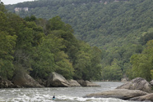
- Double Z (IV- to IV). This is the first of the rapids that is noticeable bigger in technical aspects rather than big fluffy waves. At high flows there was a sick boof just right of center. Or you can go left around it and begin working right to avoid the big rocks in the middle that are nasty and form massive holes at high flows.
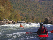
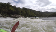
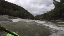
- Hook 99 (III to IV-). We entered down a nice slot on the far right. There were easier lines center and left if wanted. Downstream at the end of this rapid lies the Greyhound Bus Stopper or Harmon's Hole. It is a very large nearly river wide hole. There is a nice window on the far far left and a smaller window far far right. It would be terrible to end up in here at 6'. Like legit terrible. But you have a lot of time to make the move, fighting through class III- wave trains.
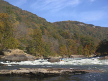
- Upper Kaymoor (III). I remember a nice playspot at low flows, at high flows it was a small front surf green wave.
- Lower Kaymore (III-). More nice surf waves, a small one at the top and a nice fluffy one in the middle half way down at high flows.
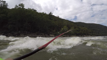
- Miller's Folly (III+ to IV). The longest rapid on the run perhaps, this rapid is tough to see what's going on at high flows! We started down the middle, maybe a smidge right. At the top, the right and left looked to have some terrible pocket holes along the rocks. The bottom left looked ruckus so we were right for a mellow exit, but then looked over at the left at the bottom to see a great surf wave over there. Oh well, lesson learned.
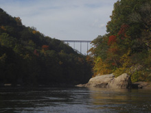
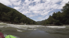
- Thread the Needle (III). If you thread the needle between the large rocks, s-turning left between them, then you will fight with some super swirly water and flirt with some pocket holes. But when done right, it is a straight forward rapid. I think you can also just go around the needle if you wanted.
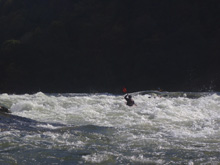
- Fayette Station (III to IV). At lower flow the rapid was obvious just right of center. At the higher flow a large wave at the top hid the rapid from sight until you drop in which makes it much more intimidating. However, it is straight forward wave train into some swirly water at the bottom so no need to fear. Take-out is immediately below on the left.
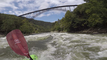
Take-out: Drive north over the New River on Highway 19. Just North of the river, turn right on Fayetteville Mine Rd. In 0.3 Miles turn right on Lansing Loop. In 0.2 miles turn right again on Fayette Station Rd and follow down 2.5 miles down to the river.
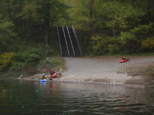
Put-in: Turn up the side creek on Fayette Station Rd and follow steeply up to Highway 19. Go South (right) for a half mile. Turn left on N Court St (Highway 16). In 0.7 miles go left on Gatewood Rd (Route 9). Follow 4.1 miles, turn left to continue on Route 9. Continue for 1.8 miles and turn left (follow the yellow line). Around the first hair pin you should now see a sign saying "New River Recreational Area" or something like that. Follow this another 1.6 miles to the parking area to put-in.
HTML Comment Box is loading comments...

