New River (Glade Creek to Grandview Sandbar)
| Stretch: | Glade Creek to Grandview Sandbar |
| Difficulty: | Class II |
| Distance: | 4.4 miles |
| Flows: | 1,200 cfs to ?0,000 cfs. Current USGS New at Thurmondgauge |
| Gradient: | 10.4 fpm average |
| Put-in: | Glade Creek Campground |
| Take-out: | Grandview Sandbar Campground |
| Shuttle: | 5.1 miles, (15 minutes one-way) |
| Season: | Year Round, natural flow |
| Written: | © 2021 |
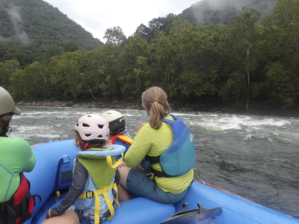
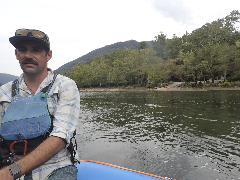
Our 2021 trip to the New/Gauley area began on Wednesday. We arrived early in the afternoon and made plans with Laura Farrell’s family and the Toby & Erin Savage clan to do a family float on the New in the afternoon. Rather than our typical inflatable kayak that we take Aster in, this day was her first experience in a raft, and I think we may have found an expensive love for her. The entire day she was riding up front and loving the big rapids, even when the bow kicked and knocked her down. Each time she got up and screamed “weee” and “more rapid!”
This run is a subset of the “Sandstone to McCreery” section as described on AW. That is a 16 mile section that is longer than an afterwork or afternoon paddle would allow, especially at a definitively low flow of 2,300 cfs. So this short section offers a nice roadside shuttle, though the road is just about never visible, a shorter length, and the two standout rapids of the section.
The rapids are mostly on the class I+ to II- end of the spectrum, however the first and the last rapids are for sure the standouts and are more squarely in the class II range with some II+ spice if you want to bite off the meat of holes which are easily avoidable and off the main lines. And I should say that while 2,300 looked to create some long slack pools, the pools all moved quicker than they appeared. The Gorge at the same flow actually has longer and more still pools. All told, the float took us about 1.5 hrs.
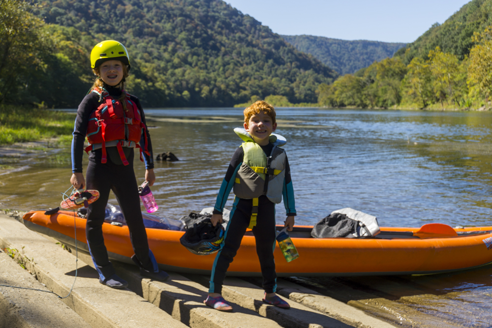
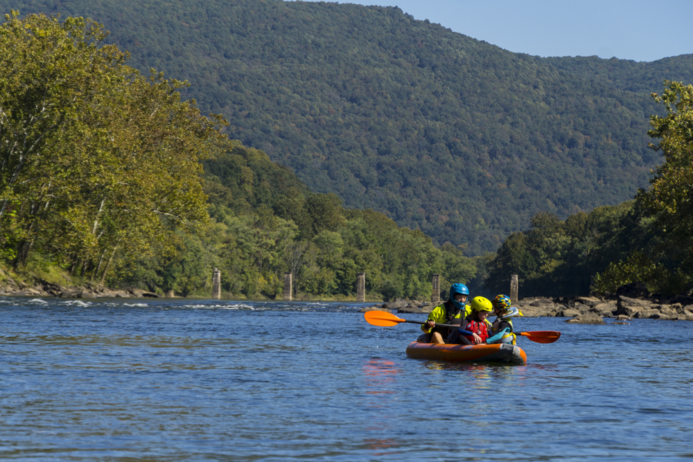
2026 Update: We got back this year, this time with our IK and now with Tobin also, since he wasnt even born yet last time we went there. Aster was bummed we didn't have her hardshell with us as she could have done it, but we just didnt have room in the car for all the stuff! We really need to get a 4 bike rack so we clear out room in the van! We had a little more water this time, 3,200 compared to the 2,300 we had last time. It still was on the low side, and it was honestly easier than I remembered it.
Mi 0.6:
- Grassy Shoals (II to II+). The first rapid is probably the biggest of the run. A clean line exists down the middle. On the right at the bottom is a bit of a hole to punch if you want to venture to the right of center. Otherwise, it is just a big wave train.
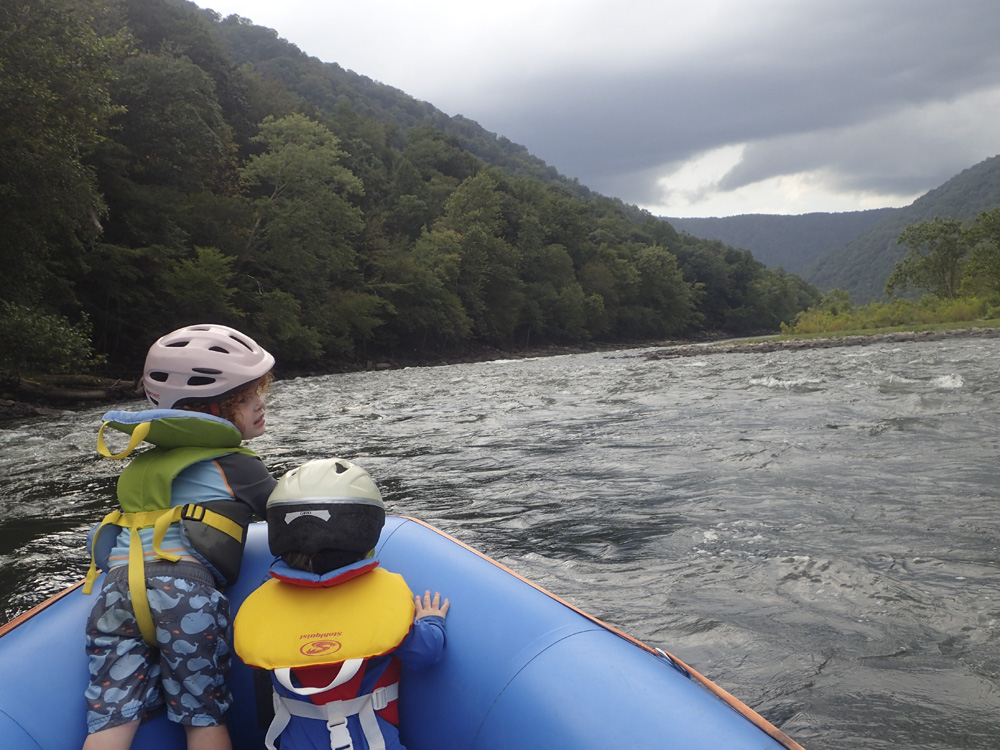
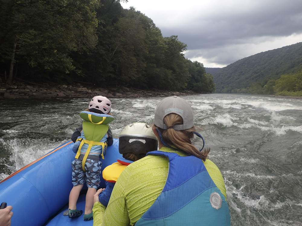
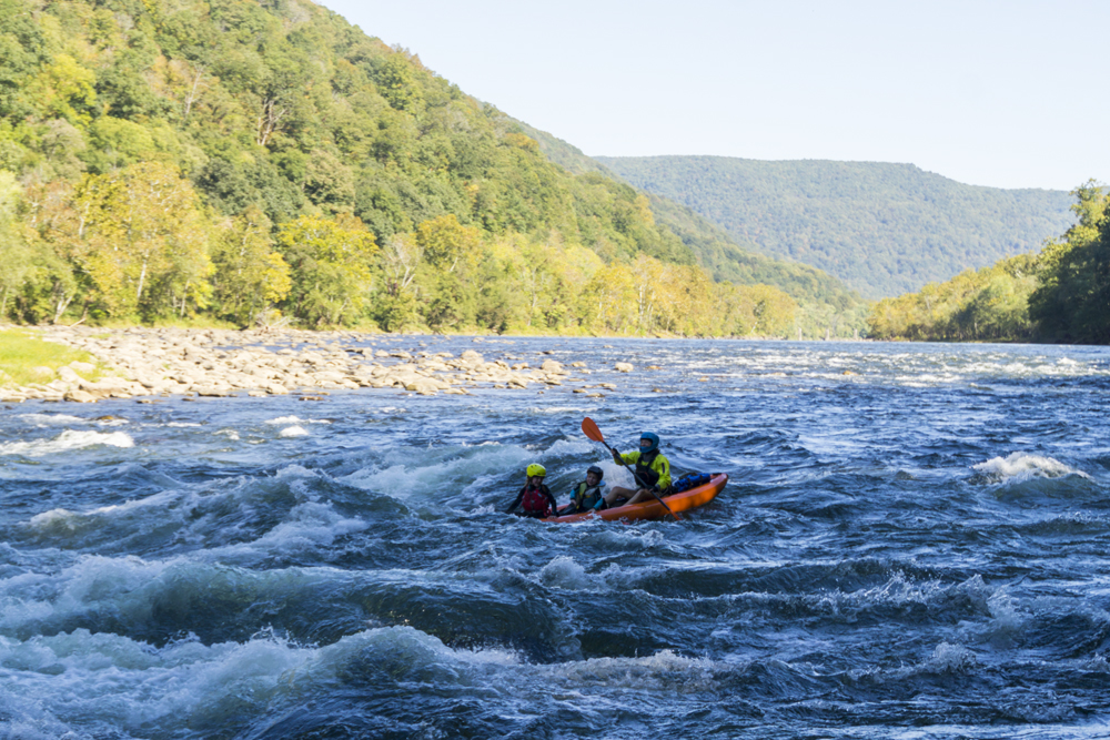
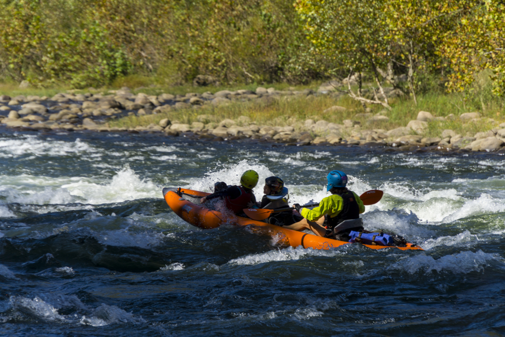
Boogie (I+ to II-). Boogie continues throughout the run interspaced by flat, moving water, sections.
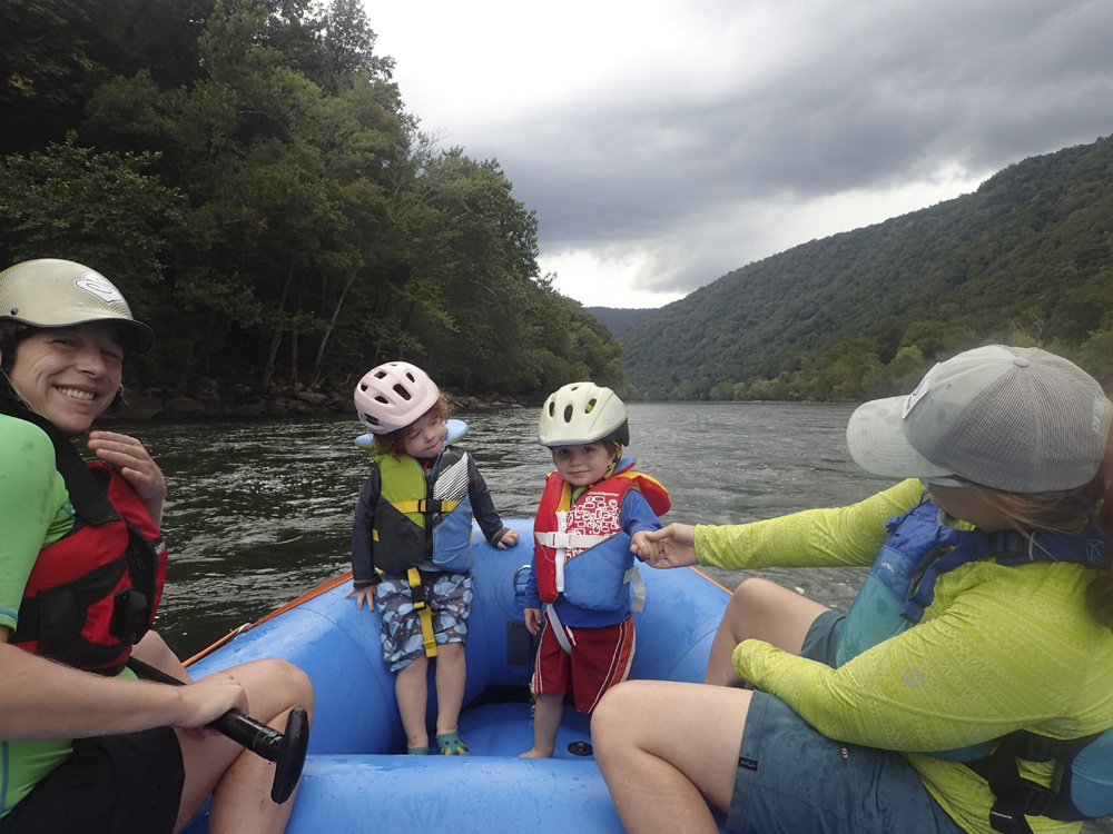
- Mill Creek (II-). A bit of a narrow rock fence with multiple options leads to an alternate access/egress location at Mill Creek which has a less developed campground and no official boat ramp.
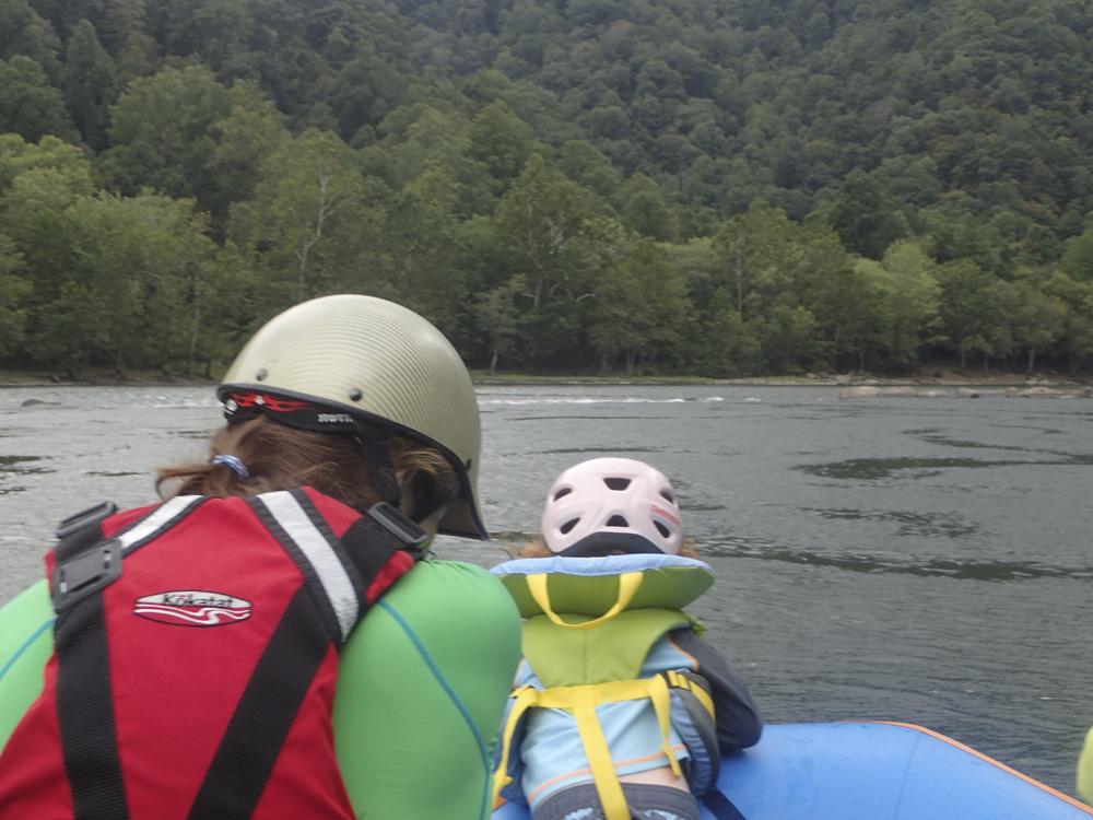
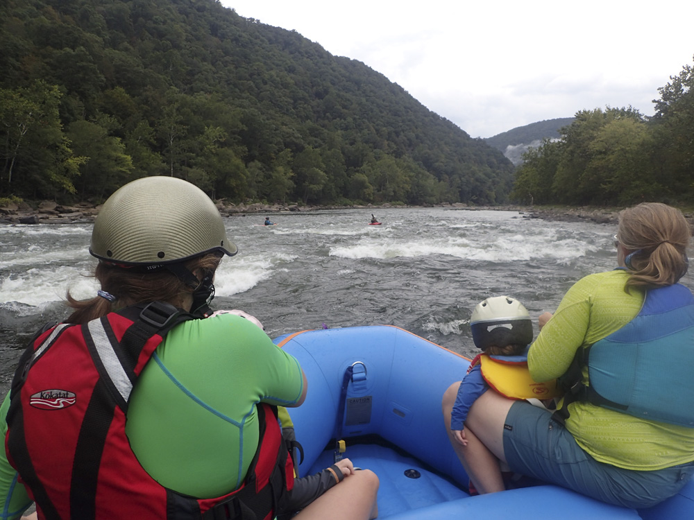
Boogie (I+ to II-). Some more boogie... one down the center of the river was bigger than the rest...
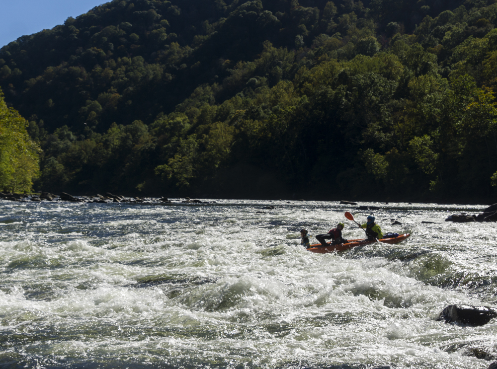
- Quinnimont Rapids (II to II+). As you approach the rail junction above Prince, in the small development of Quinnimont, you get the last bigger rapid. This rapid was sort of a two part thing with the bigger half being the lower where the current converged along the left shore as the river bends left. Try to stay off the right shore as there are some rocks and holes that would add spice to this rapid. Otherwise, it is a straightforward wave train.
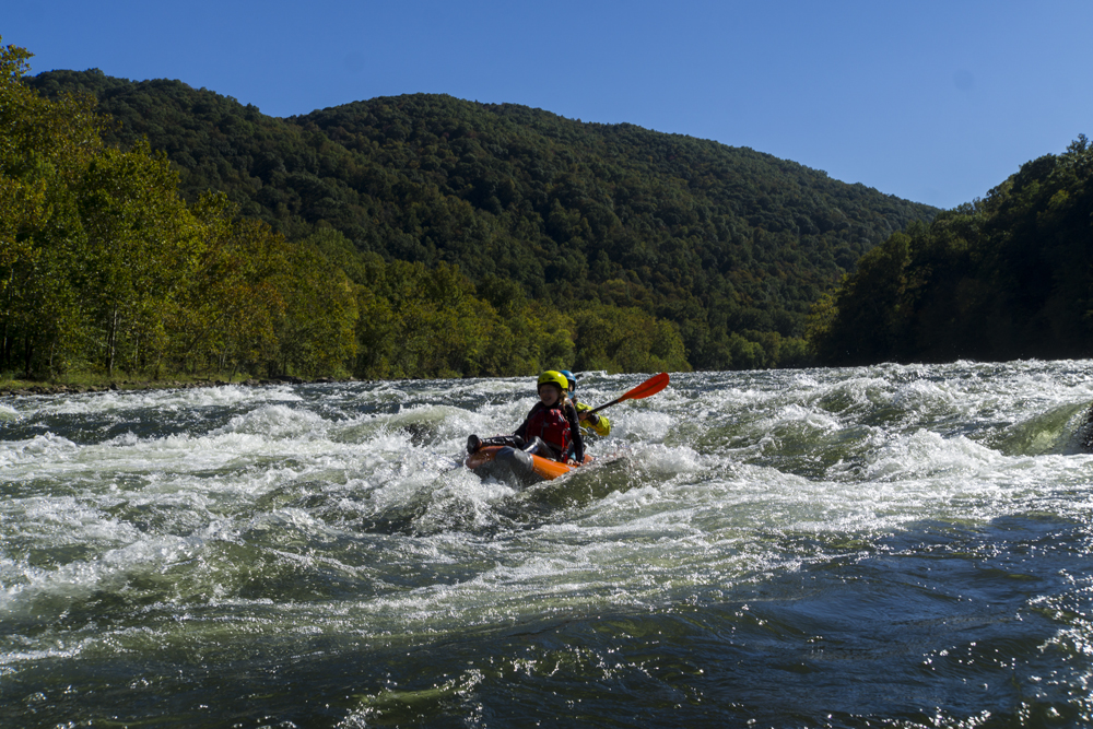
For more details on the run, see the AW write-up...
Take-out: South of Fayetteville, on route 19 ad 61 is the town of Mt. Hope. Depart Mt Hope heading south on WV-61. In 4.4 miles turn left onto WV-41N (Johnstown Rd). Follow this down to the river and just before the river, turn right, crossing the railroad tracks, onto Glade Creek Rd. Follow this for 1.0 miles of nice dirt road to the left at Grandview Sandbar Campground. Descend to the river and parking in the large river access parking lot.
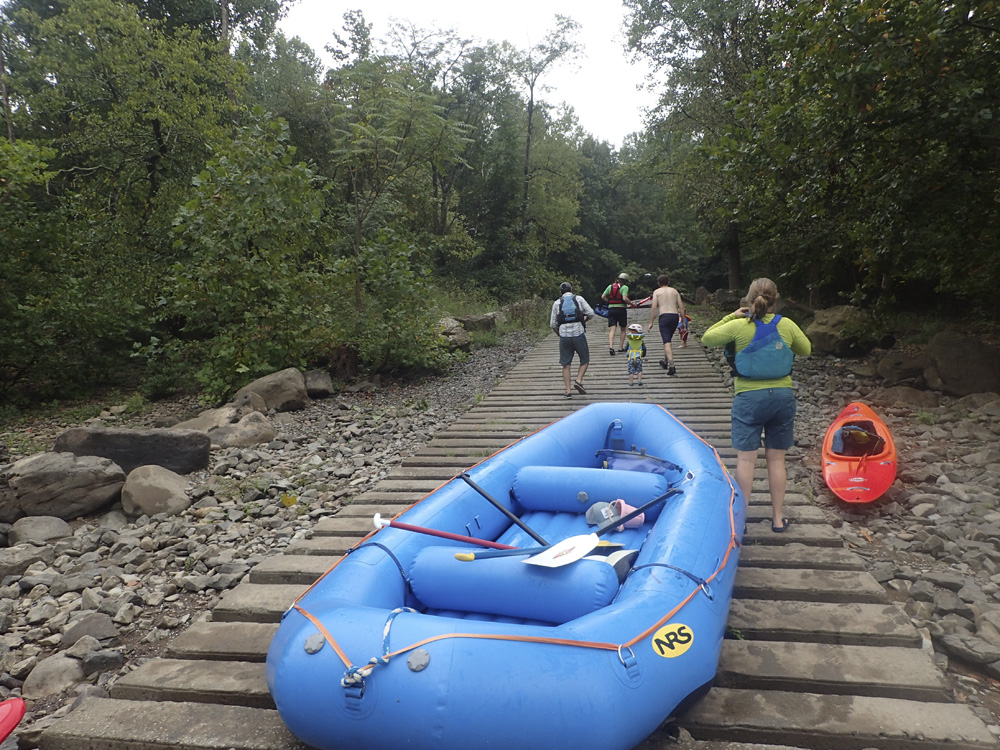
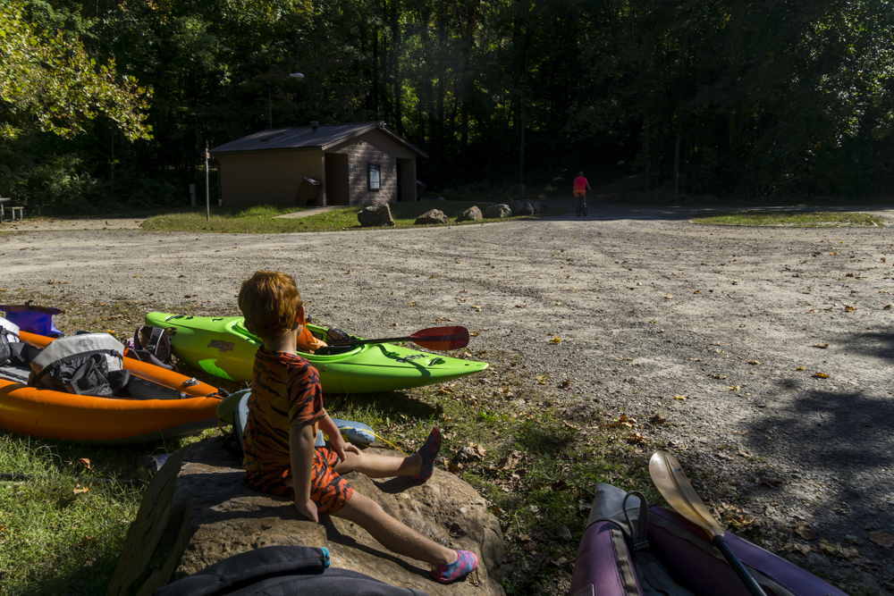
Put-in: Continue going upriver on the dirt Glade Creek Rd. In ~2 miles you will pass the Mill Creek Access site. After a total of 4.6 miles turn left into the Glade Creek Campground and descend to the parking area at the boat ramp.
HTML Comment Box is loading comments...