New River (Dries)
| Stretch: | Cotton Hill Bridge to New River Campground |
| Difficulty: | Class III+ to IV |
| Distance: | 4.85 miles |
| Flows: | 1,000 to 1?,000 cfs (subtract 10k from Thurmond or 6' from Fayette Station). Current AW gauge |
| Gradient: | 23 fpm average |
| Put-in: | Access under Cotton Hill Bridge, or upstream at the dam |
| Take-out: | Public river access immediately upstream of New River Campground |
| Shuttle: | 5.7 miles, (10 minutes one-way) |
| Season: | After heavy heavy rain, or during the Spring and Summer AW negotiated releases |
| Written: | © 2020 |
| Featured in Video A Wet State #156 | |
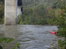
The Dries is a real treat that just a few years ago was a rarity that only locals seemed to get. But, now AW has negotiated releases so each year there are a handful of releases, albeit at a much lower 2,000 cfs. While that is awesome, and certainly enough to float, the river is famous for when the river is up high, like 10-15k cfs. And with our luck, the rain in North Carolina a day before brought the river up to over 10k cfs the morning we had planned to do the river, so we got the full experience!
The plan was for Diane to join two of our friends for a morning lap, followed by a Daddy lap after. However upon seeing the higher flow, one in the morning group backed out, causing the second to back out, leaving Diane alone wanting to paddle. So Daddy's were called and we headed from camp to put-in.
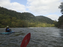
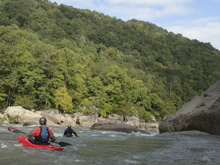
The three of us paddled down, cautiously playing waves and running the rapids, to find it much easier than we had feared. So a second lap was run with everyone and everyone was all smiles.
In my mind, the run is easier than the gorge at similar flows. The Gorge has bigger waves, slightly harder moves, and many more rapids. The Dries has fun boogie, but only three rapids, though two of which are nice and long. Even on a first lap, we found the holes obvious and time plentiful to avoid, on a second lap the moves seemed downright easy. The type of class III-IV you would never actually take a class III boater on. Why you ask? Because it is big water and squirrely and class III boaters just don't have the edge control or dependable roll you need for this type of big water (at the higher flows anyways). As it was, we saw several groups struggling down the water scared, one of which had a rowdy swim in Mile Long who looked very concerned when I answered their "are there any rapids left" with "yes, one."
So, this river was a blast, I loved having the half slice with me on the water for the surfing and stern squirts. I think a creekboat would have been boring, but also think that you should not take lightly a small playboat as the boils and moves would certainly be harder in the low volume slow boats. Doable, but not if you are anywhere near your limit and unfamiliar with big water. My overall impression of the river was very high. The easy shuttle makes up for the shortness of the run. The shuttle is "riverside" the whole way meaning 10-15 minutes one way, and access is easy via two parking areas etc. Those are big plusses compared to the Gorge whose shuttle takes almost as long as the run does. The downside is the brevity of the run. If it were three times as long, it would be a top tier classic. As it was, we did two laps and were back at camp riding our bikes by 1 pm. If it is up though, and you have extra days when the Gauley isn't running, or if you have run the Gauley a bunch, do this run. It is worth it for sure.
Mi -1.2:
- Foot of the Dam (III+). We didn't go up there in 2020, due to signs telling us due to construction it was closed. So I don't know the specifics.
- Ledge (III). We didn't go up there in 2020, due to signs telling us due to construction it was closed. So I don't know the specifics.
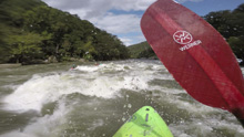
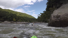
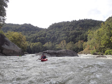
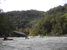
- Cotton Hill Rapid (III). At 10k cfs this was a mellow wave train. Surf some glass at the top, surf a small hole on the left at the bend. The rapid goes on for a "short" distance below. At higher flows apparently some huge surf waves appear in this one. Downstream you have one or two more similar mellow boogie rapids before you get to the first big rapid.
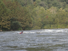
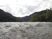
- Not Mile Long (III to IV-). A mellow section of rapids that consist of waves to negotiated builds after a few hundred yards into a big finale. In this crux, you want to be center, surf two wonderful waves, and then move from the center to the right to avoid a large mid river poor over. You have a lot of time to make the move and the move is easy to spot. One more small move awaits downstream, just down down the center of the main channel. The "pool" below is at mile 1.25.
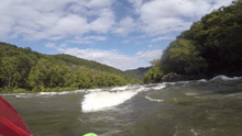
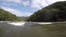
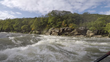
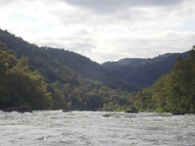
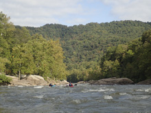
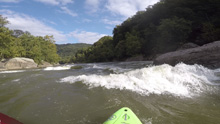
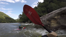
- Mile Long (III+ to IV). You will see the spill way on your right which signals you are entering this rapid. There are three parts in my mind. For the first part, enter on the right. There was a nice surf wave at the top. We then worked left to avoid a large pour over a little ways downstream. Right would also work. Just not middle. For the second part, it was more or less just a big wave train that we took right of center. For the third part, the river splits around a massive midriver rock. We went right, avoiding the inside (middle) at the top of an s-turn and the bottom right (wall side) at the bottom of said s-turn. Both had holes. So, swing far right and work back hard left. The pool below is at mile 2.8.
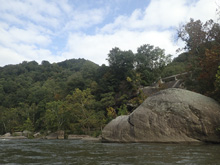
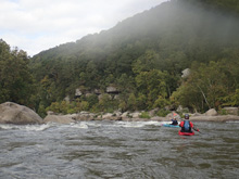
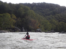
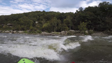
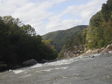
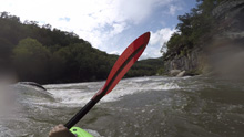
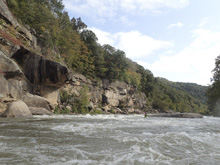
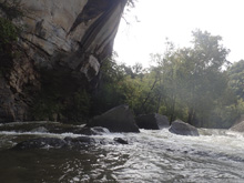
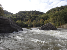
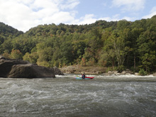
- Landslide (III+ to IV). The most blind rapid of the run, the most intimidating amongst big rocks and swirly eddies, but also pretty straight forward. Once you know the line, the difficulty is just the swirliness of the water, not actually an issue regarding tough moves. So, from the walled out right side, the right channels are small and rocky, I counted three of them. I have seem them run lower, at the highish flow we had only the far far right looked ok. The first main channel from the right was maybe 15-20 feet wide and was just a sloping ramp that from above looked bad but was actually the ideal line. One more slot left was also ok. Then, the two further left channels were bad, avoid them. Once through that first rock fence, the right most channels converge and you just stay right down an s-turn between very large rocks. Here, the river drops over a what appears to be a river wide ledge... but in reality, behind a massive boulder on the right there is a wide tongue that leads to the right and easily avoids the ledge.
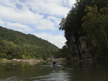
- Train Wreck (II+ to III-). Really it is just swirly water under the railroad bridge where the bedrock pinches together and then dumps into the lake.
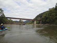
Take-out: From Fayetteville, take WV-16N. After 8.0 miles you get to a small junction, stay left on WV-16N. In 100 yards, make a hairpin turn left to again stay on WV-16N. In 3.9 miles you will see the lake, look for the small parking area which is the new river access, immediately before the campground, on your left.
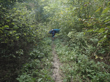
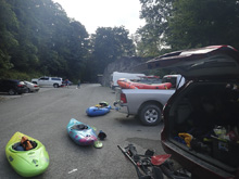
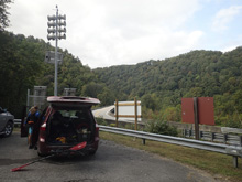
Put-in: Go back the way you came on WV-16S for 5.8 miles. At the Cotton Hill Bridge, there is parking on the left. The trail down is downstream/down-road 100 ft on the left side of the road. Careful crossing the road!
HTML Comment Box is loading comments...

