North Fork of the Trinity
| Stretch: | Hobo Gulch to the East Fork of the North Fork |
| Difficulty: | Class IV to V |
| Distance: | 13.8 miles |
| Flows: | 500-1,200 cfs (Solid Class V at 1,200). Current Dreamflows gauge |
| Gradient: | 103 fpm average, 215 for 0.75 miles at the start (Several miles 150+) |
| Put-in: | Hobo Gulch Campground |
| Take-out: | Confluence with the East Fork of the North Fork on East Fork Rd. |
| Shuttle: | 14 Miles (50 minutes one-way, all dirt road, minimal clearance needed) |
| Season: | Spring from snowmeltt |
| Written: | © 2012 |
| Featured in Video A Wet State #60 | |
The North Fork of the Trinity has been a streambed that has been a part of my life for a long time. Not with kayaking, but with summer fun. As a kid, my family would go to Trinity to visit family friends. We would spend our summers hanging out at the north Fork of the Trinity, cliff jumping, rope swinging, kicking hemophiliacs (long story and Nicki swears it was an accident)... and throughout, rumors of big whitewater for experts only on the North Fork underran it all as legend and myth. For years I have wanted to boat this section... but as is my nature, I always wanted someone familiar with the run to accompany. 14 miles of class IV to V bombing, start to finish was enough to give me nerves even this year (2012). But alas, as May came around, and the Salmon Fest weekend approaching, I reached out to several friends who make the yearly pilgrimage on the way to the Salmon.
The day started off slow. We arrived at 11, on time (for a late start). The next arrived 15 minutes later. The last 30 minutes later. Great start. Once putting on a little after 1. We came to our first scout (for some a portage) within 100 yards of put-in. One of our 10 person group decides that this is a bad idea to put on this late with such a big group and walks back to the car. 3 rapids and 1 hour later I turn to Kyle and state that we are all going to spend the night on the river together, cuddling next to a fire fueled by poison oak. Luckily, the river lets up and allows quicker progress downriver. The next 14 miles are mixed between pleasant flats, tight gorges, and steep powerful rapids. The river does not let up. The crux of the run, is the rapids leading up directly to Arn's Falls... the only mandatory portage of the run (in 2012 there was a landslide/wood portage). Two rapids above Arn's is a junky rapid with several seams and folds that have swum people. From there, you are gorged out above Leap of Faith, a sticky hole that is unscoutable and unportagable. If you swim the earlier rapid... you also have to swim Leap of Faith. If you are still in your boat... you still may swim Leap of Faith! 100 feet of calm pool leads to the lip of the portage. Below, rapids lead directly to the bridge at take-out.
We took 5 hours on the run, with perhaps a half hour at Mr. Squiggles taking pictures and video. Other than that, we only scouted the first and third rapid on the run. With a cautious group (no probe or no veterans), plan on a long day and get an early start. Hiking out is only an option below Paradise Gorge... but even then it is thousands of feet up.
I honestly think this is one of the better runs in the state. Similar to the North Fork Middle Fork American, but without the portages but also without the marquee drops. Just high quality class IV to V. One after another. For 14 miles. By the end, my arms were getting tired and I was glad I was managing to stay on line throughout the day as I don't think I had the energy for a big fight. Will I go back? 100% yes. I can't wait. Too bad it dropped out the next day so it will be 2013 before I get the opportunity.
So, disclaimer... this is by no means a rapid by rapid... not even a gorge by gorge. Just a couple of pointers. There are too many rapids to remember after one trip down. It will be many trips before I will claim to know it...
Also, for more info, check out Dan Menten's Write-up of the run, with more pictures. Addtionally, the two Oregonkayaking write-ups, one from 2001 and the other from 2003
Mi 0:
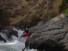
- Rapid #1 (V). The very first rapid should be scouted on the right. The middle has a log in play, so most will go far right to avoid the log. Also, this rapid is commonly portaged.
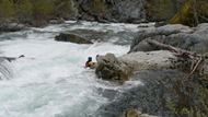
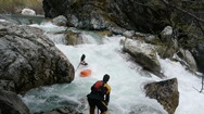
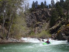
Prior to Island (IV to V). The next few hundred yards has large boogie. When you see a large house size rock at the end of the straight away, most hug the right shore to avoid large hydraulics just above the Island Rapid.
Island Rapid (V). Not even a half mile into the run, you are now at the largest rapid you will be running. Enter down the right channel and eddy out on the island. Portage to the left channel. The bottom of the right channel and top of the left channel are no goes (especially the top of the left). From here, huge the left shore down a boog into a hole that surfed several of our group. Then work your way down the left boofing the double ledge down the left to exit. From here it lets up.
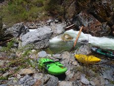
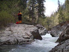
Boogie continues for a while
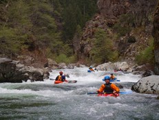
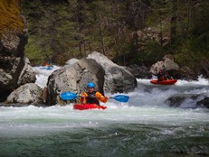
- Pinch (IV+). In an easier section you will be floating down a riffle when suddenly there is a horizon line with no eddies to catch. Go left boffing back center. It is a weird seam but works itself out with an occasional splat on the left wall.
- Paradise Gorge (IV to V-). One of the coolest sections of river is locked between two smooth granite walls. The rapids are not hard inside and only last a few hundred yards. But there is one hole that is halfway through the main gorge that you want to line up and give a proper stroke for. Just downstream is the access point where the cabin is on the left.
- Landslide (U). Somewhere near here (using a similar turn on google earth) is a landslide that was new in 2012 and caused a portage. It is visible from upriver and has several eddies to catch as you get closer. But only a 2 boat eddy or so at the landslide itself.
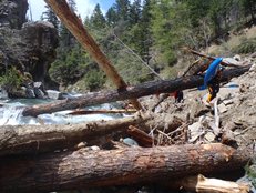
- Orion's Mom's Hole (IV). I wish I could describe this one better... because it is a serious hazard named after a friend had a close call here. In a small walled gorge, the river splits around a midriver rock and creates two channels. We went right (but left also went). It then splits again around another midriver rock. The second one, you really want to be right on. The left channel is turblulent and stuffs you into a pocked/undercut on the left wall. It is a dangergous spot, so keep an eye out for a plays where the river splits twice quickly around two midriver rocks.
More fun boogie
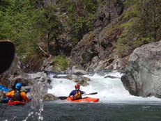
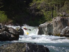
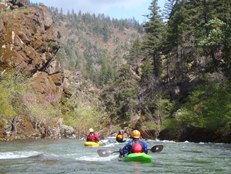
- Mr. Squiggles (IV+ to V). One of the marquee drops of the run. Run it down the right and boof the crap out of the flake, clearing the holes below. Easy to scout on the left, the portage is also possible but requires a little more work to get back down to the water a hundred yards downriver.
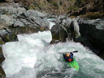
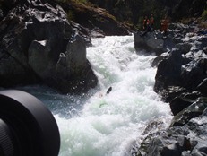
- Pre-Leap (IV+ to V). I don't remember this rapid being too hard, but it has swum several people. We ran down the right moving to the center and then back right. That is all I remember. If you swim, you are likely going to swim Leap of Faith too... There was a small willow pile on the left just above the Leap that you might be able to collect in. Perhaps...
Leap of Faith (IV to ?). It is hard to give a rapid where you leave a calm pool (albeit a small one just below the lead in rapid), paddle to the lip, boof off a clean lip, and land in another pool harder than a class IV. But I bet I would change my tune if I was one of the many people that have gotten worked here. Boof the right edge of the left channel with your bow pointing right and it should work out just fine for you. Do not go left off of the drop nor point left, you will swim.
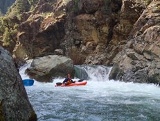
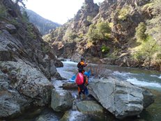
Arn's Falls (P/V). Due to wood, the top half is a mandatory portage. You can however put in just above the final two steps (with help to get back into the boat) and run down the exit on the right. Some of us opted to try to portage it and ended up seal launching in below the second to last step but just above the sticky exit. Next time I will just do the half portage. The river then eases up for a mile or so.
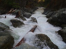
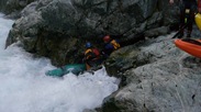
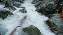
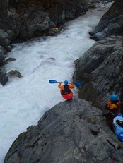
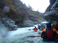
- The last gorge has a few good size rapids, culminating just out of view from the take-out
The End (V). One of the larger rapids on the run is the 2nd to last rapid. I only remember the details of the exit which was on a left bend. I tried to boof the right edge of the large drop and ended up taking a rock straight into my bum. But that was actually a welcome surprise because it looked like a mean hole... so the shallowness was in a way better than getting worked... I think. I guess moving back left across the final drop would have been idea. 1 more class III-IV rapid awaits and you will see the bridge.
Take-out: 15 miles West on Highway 299 from Weaverville, you will cross the North Fork. Turn right on East Fork Road and travel 1.1 miles to the first bridge which crosses the North Fork. Park on the far side.
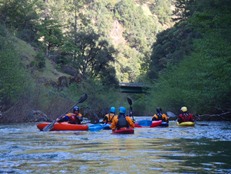
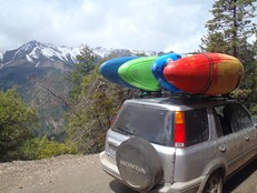
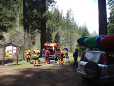
Put-in: Continue on the East Fork Rd, traveling up the East fork of the North Fork of the Trinity for 2.7 miles. Turn left on the dirt road with sign pointing to Hobo Gulch. In just under 12 miles, you will see a sign pointing to the left for Hobo Gulch Campground. Go left and park at the river.
HTML Comment Box is loading comments...

