North Fork of the Stanislaus (Ramsey's)
| Stretch: | Ramsey's Meadow to Sourgrass Bridge |
| Difficulty: | Class V to V+ |
| Distance: | 4.5 miles (3.9 Miles from exit of Meadow) |
| Flows: | 250-750 cfs. Current Dreamflows gauge |
| Gradient: | 192 fpm average (Gorge is 2.3 miles at 225 fpm) |
| Put-in: | Ramsey's Meadow |
| Take-out: | Sourgrass Bridge |
| Shuttle: | 12 Miles (Dirt Road, plus a 30 minute hike) |
| Season: | Summer and Fall from dam release |
| Written: | © 2011 |
| Featured in Video Fifty. | |
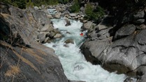
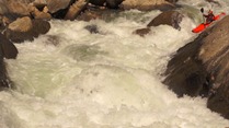
In my mind this is the hardest of the runs on the North Stanislaus. It has some huge class V+, some of which I do not believe have ever been run, others run just a time or two (though even that seems staggering). In between is nothing but class IV+ moves and class V rapids. The run does not let up until you pass through the final gorge. The rapids are mixed in their form and quality. Some are super steep and long boulder bar gardens full of sieves and occasionally snuck around to avoid even worse hazards, others are steep pool to pool one move drops amongst boulders, and others are multi move slides. In all, the miles here do not tick by fast as you're are constantly scouting or eddying out. Even knowing the lines, the progress was slow as the hazards were ever present and portages are sprinkled throughout.
The flows for this run are interesting... 400 seemed like a good medium, it was mildly pushy but also mildy manky. More water would certainly clean a lot of it up but would make for a full on experience in the rapids. Less water would certainly take some of the teeth out of the run but would also up the mank factor. So I think 350-400 is likely ideal for groups strong enough to run the class V rapids. Expect to spend 5-6 hours on the Ramsey section your first time down. We got down in 4 hours but had two people fresh off the run with the lines memorized (thanks Darin and Rok!). When in doubt scout, many rapids begin easy and quickly commit you to something you would likely portage or simply end in dead ends.
The scenery is good on this run, some nice forested sections along with some granite walls to grace your presence, overall though the scenery is a step down from Hells Kitchen upriver. So in summary, if you are hankering for a Fall high sierra experience and a full day of class V kayaking, head out this way. It will likely be the hardest thing running in the state...
I am not sure where the Ramsey's trail comes down as to date (2011) I have only done this as an overnighter with Hell's Kitchen. So I have two mileage counts. The first being from the bottom of Ramsey's Meadow and the other from Hell's Kitchen put-in.
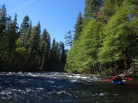
Mi 0/6.7:
- Likely Portage (V+). OK, so I actually have no idea how runnable this rapid is. We portaged it on river left prior to the bend in the river where it fell off. We put-in with teamwork down a steep granite slope having never gotten a view of the rapid. I took a picture from below where we hung out and refilled our water in the sun on the far side of the river but it doesn't do it justice I think.
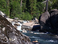
Boogie (IV+ to V). Not all boogie is created equal. This is some ledges, many long boulder gardens, and some slides. If it is your first time down, you will be scouting. We snuck a couple of rapids to avoid mank. This is a super stacked section that could be horrible for a swim. It just keeps coming, right up to the lip of Astrobiologist Creep.
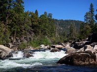
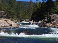
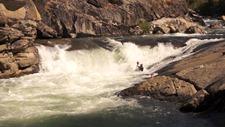
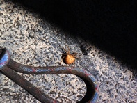
- Astrobiologist Creep (V+). Also called Hour Glass Falls, this is a serious drop. A 90 turn falls over a 15 foot falls and then again off another 8 footer into a massive hole. To boot, there is also a very serious cave on river left. Best run at lower flows, safety should be set as a sieve is just downriver and the river continues to fall off the face of the earth just below. Scout and portage on right. If you are timid of heights and lowering yourself hand over hand on a sketchy rope that may or may not be covered in spiders, this rapid may keep you off this run.

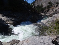
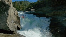
Boogie continues for a third of a mile, several large moves are contained. My favorites were a wall check where you slide down a slide straight at the wall aiming away from it. Another was just a sweet slide. After that one, we went far right to sneak and portage.
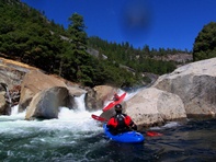
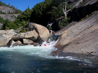
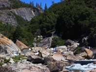
Pre-Portage Possible Portage (V). A class IV rapid (or so) with a massive nasty sieve in the middle. We snuck down the right and then got out of the boat for a 10 foot portage to a seal launch. Then immediately got back out for another portage.
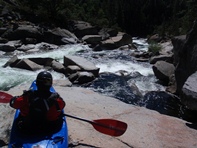
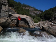
- Portage (U). I think is one of the un-run rapids. Massive, undercut, and lands on rocks. Portage right easily. At higher flows, the ledge just below needs to be portaged, we did this via a ferry and seal launch from the left shore.
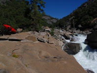
Ledge (V). A ledge hole maybe 15 feet tall with a massive amount of tow back. At low flows you can run left. We portaged on an island and seal launch in below. The Seal Launch is shallow, so try not to piton your brains out like I did.
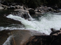
More Boogie
- Last Long Portage (V+). Another hediously junky rapid forced onto the left shore for an extended portage up on the bluff above the river. Scout the rapid just below as it is a massive hole.
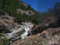
Cave Ledge (V+). At medium flows or above, the ledge is a massive hole. There is also a cave behind the falls that I have seen video of a friend going into. Luckily at those flows there is a sneak in a micro channel to the right. It is junky I won't lie. But the full portage looks horrible. At low flows you can boof the main ledge. Just downstream is a sweet slide best run center/left.
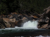
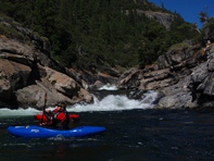
The boogie gets mankier but is still 200 fpm mile.
- Final Gorge (V). Scout (and portage if so inclined) on the right. Usually run from the center eddy driving right over the boof though a center boof is possible but is hard to climb up onto. From there, head right or punch the large hole on the left. Exit on the left with a boof over the hole. And you are now free. Only class III/IV from here to take-out 1.6 miles downriver. UPDATE 2020: Apparently the rock that formed the entrance ledge rolled forward and the ledge is more of a two stepped drop. In my opinion, from photos, it looks easier.
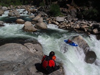
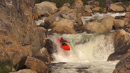
Take-out: In the town of Dorrington, turn right off Highway 4 on Boards Crossing Road. Follow the signs for Boards Crossing Road for 4 or 5 more miles. You will cross a bridge and be able to park at the day use area on the other side of the river.
Courtesy of David Maurier, these directions differ from those in the S/H book. The road has been gated for the past several years, so coming in from river left is quicker...
- Put-in: Cross the Sourgrass Bridge and follow the road onto the river left side. It will keep going downstream for a minute or two, and then cut back upstream. The road stays paved for a surprising amount of time before changing into a halfway-decent logging road. There are a few forks; when in doubt, stay left.
After about eight miles and change of driving, you'll make a semi-hard left down onto a slightly sketchy-looking road. There might be pink flagging. If you've made the correct turn, you'll pass a small bridge over a tiny creek within a few hundred yards. The road has a few big washes and rocks, so it's nice to have a high-clearance vehicle, but you don't need 4-wheel drive. Follow this road to an obvious dead-end, and there will be a poorly-defined trail marked by some pink flagging. It'll probably take about half an hour of semi-off-trail hiking before you hit the river.
View North Stanislaus, Hell's Kitchen / Ramsey's in a larger map
HTML Comment Box is loading comments...
