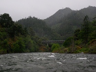
North Fork of the Salmon (Lower)
| Stretch: | Sawyer Bar to Forks of Salmon |
| Difficulty: | Class IV to V- |
| Distance: | 10.2 miles |
| Flows: | 750-3,000+ cfs. Current Dreamflows est gauge |
| Gradient: | 74 fpm average |
| Put-in: | Mile 10 Engine Fill Location |
| Take-out: | Forks of Salmon Post Office |
| Shuttle: | 11 miles (15 minutes one way) |
| Season: | Winter and Spring from Rain/Snowmelt |
| Written: | © 2011 |
Memorial Day Weekend 2011, who would think that by the last weekend of May California would still not of had a 90 degree day, or even more than four or five 80 degree days. This weekend would be no different. With plans to head north to the Salmon, Klamath, and Scott Drainages in the works, the weather was predicting highs in the 60s, lows in the 30s and rain every day but one. Sounds like the perfect time to go on a road trip. Somehow, the rain only hit when we were either asleep or on the river, and all the rivers managed to drop slowly enough due to the cold that they all stayed within the boatable ranges of flow. We couldn't have timed it any better! Day one was a stop-over in Weaverville where we ran a few laps on Canyon Creek with friends, day two would take us the remaining way to the Salmon where we would work our way down the Lower North Fork Salmon.
Several years ago Diane and I ran the Upper run on the North Fork Salmon, hearing stories about manky rapids necessitating portages in the gorge contained in the lower run. As we have boated more and become more and more comfortable over the past several years, the stories didn't sound so unappealing and we decided to give it a go. We had 1,100 cfs (+/- 200 estimated) on our run and I thought this was both an optimum and a near minimum flow. The first 7 miles of the run are fun steep boulder bar rapids. Some require eddy hoping in and amongst many boulders (read "sieves") but for the most part are class IV moves at this flow, or are steep and power drops with only the hydraulics to worry about. Either way, more water would make the run more difficult and more stressful. Once you are to the gorge you are greeted with four rapids that are less friendly than the rapids upstream. The first run had a sticky hole on the left that we boofed through, at higher flows you may need to flirt with the sievier line on the right. The second rapid was very legit and dangerous and thus is most commonly portaged; it just isn't worth it to run it. The third rapid had a good ledge hole at the bottom that is difficult to avoid but fun to drop into. And the fourth was inconsequential. It all turned out to be easier than expected.
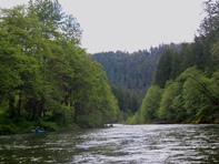
If you take your scout a little from the road (you can see two of the bigger drops while driving shuttle as well as the portage in the gorge) and feel confident eddy hoping, the run can go quick. Diane and I had not done it before and we completed the run plus 2 miles to Dieter's place near Otter Bar in less than 3 hours. We only scouted twice in addition to the portage. I think most groups will likely add one or two more scouts as well as possibly a long scout of the first long rapid. Still, most of the run is read and run class III-IV that passes miles by extremely quickly. In addition to the fun rapids is great scenery. Even though it was clouded over our entire day, we were welcomed with the views of tall wooded mountains rising around us as well as the tall gorge walls at mile 2.
Although this run may not be a classic like the South Fork Gorge or Nordheimer, it is very worthwhile if you have a spare third day and find flows in a runnable range. I will certainly go back in there next time I find myself at the Forks of Salmon.
Mi 0:
- A little warm up in class II rapids leads to the first obvious horizon line. Of course you don't get to that horizon line until you have run the class III-IV lead-in and are now scrambling for an eddy.
- Devious (IV-V). The first major rapid of the run comes exactly one mile below put-in. The rapid has 4 distinct parts, but once below the first part, it will look like a blind boulder mess downstream of you. The first part is straight forward down the center through a small hole. The current then pushes straight forward to the next part. There is a small eddy on the left cliff wall that shows you the line, though you will likely catch the larger eddy on the right with a shore line on the right that will show you nothing. Boof down the left off the nose of the rock, eddy out left or right. Next was a small rapid move down the right (of the left channel) involving two holes, eddy out left. The next move is to drive right off of the ledge and hit the boof. The center looks good but lands on rocks as you can see from the eddy at the lip. This then leads to some class III-IV runout.
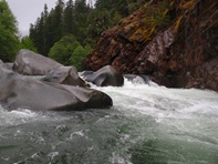
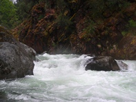
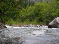
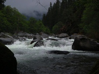
Big Curler (IV to IV+). Nearly a mile after Devious, comes this good size (and blind) rapid that can briefly be seen from the road on the drive in. The river bends sharp right and the current swings around to the outside. Go with it, drive back to the center, punch a hole or two and drop into a cool curling seam. Good fun. We had cheers from folks taking a picnic on the shore, that is always nice.
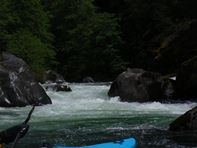
Class III-IV boogie in interspaced through the run.
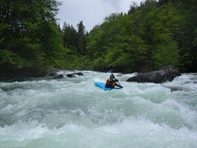
- Second Long One (IV to IV+). Shortly downstream is another long boulder strewn rapid. We couldn't lip scout a good line, it seemed they all had rocks in the landing. From below it appeared there may have been a smear move on the far right. We snuck the first ledge on the left and then ran the run-out below.
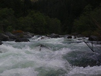
More Boogie
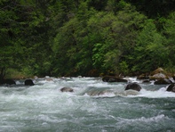
- 3 Holes (IV to IV+). OK, so this rapid was not that hard, but dang the bottom hole would ruin your day! The first hole was taken down the center, I errored left to get kicked left around the second large curling hole, but aimed for the corner of it with right angle in order to kick far right to avoid the third hole which was blocking the left 2/3rds of the river.
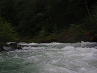
More Boogie
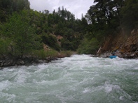
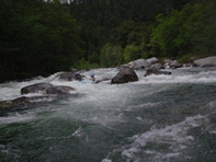
- Fluffy Bunny (IV+ to V-). You will come to a very steep boulder bar rapid and will not be able to see down the rapid enough to bomb into it. I got out and scouted on the left. Although it looks horrible, there is a clean line down the left through a few holes, boofing a rock, and through a few more holes. There is also a more challenging and exposed lined involving moving back right above some bad piton rocks.
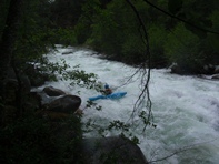
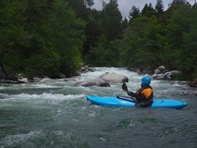
- Right Turn (IV to IV+). This drop looks bad from above. The river makes a 90 degree right turn and then drops into what looks like it will be a large pour over hole. Take the turn wide and it was just a ramp into a medium sized hole. I think you could scout left or right if you want. It might be wise at varying flows.
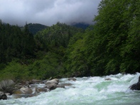
- Just after a bridge overhead on a right turn, there will be a nice eddy with a bench just up 100 feet from the river. This can be used as a take-out if you don't want to run the gorge.
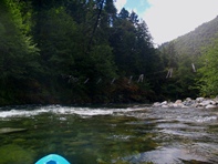
- Foreboding (IV to IV+). I have heard this rapid can get worse with more water, and I believe it. At our lowerish flows, we could boof the double ledge on the left. At higher flows I think you need to go right and flirt with the sieves. Eddy out right just below this rapid as the portage is below. Don't enter the class III-IV lead in because it leads directly into the portage.
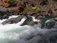
The P-Word (V+). So it is certainly runnable. You can run the lead in and catch the eddy on the left shore, then ferry out in front of several sieves and logs to move back across (looks hard in person) and exit down the river right. Or you can portage 100 feet on river right and put-in on the right and run the exit without exposing yourself to fatal consequences... we portaged.
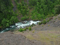
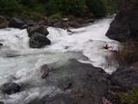
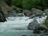
Looks Hard to Avoid (IV to IV+). Diane scouted while I was putting my camera away after The P-Word. She came back and said, "Several holes, the bottom one looks big and hard to avoid. I think we can just go through it." Well ok. So I followed her through a curler or two and into the large hole below which we both popped through without a problem.
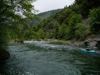
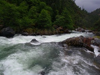
Gorge Exit (III). A half mile below the start of the gorge, the last rapid releases you along with the anxiety you have pent up. It is an easy read and run down the left.
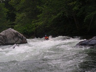
Take-out: On the upstream side of Forks of Salmon, take the Sawyer Rd up the North Fork. The Post Office is immediately on the right. Park there and look for the nice raft ramp down to the water.
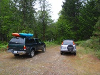
Put-in: We put in just past the mile 10.0 marker at an Engine Fill Site. It is literally 100 feet beyond the Mile 10 marker. Follow the dirt road down to the river. You can put-in 1 mile higher up and get another mile to warm up if you put in at the Little North Fork of the Salmon. But you are not missing anything by putting in at the Fill Station.
HTML Comment Box is loading comments...

