North Fork South Platte River (Bailey Canyon)
| Stretch: | Bailey to Pine Lake Ranch |
| Difficulty: | Class IV to V- |
| Distance: | 10.5 miles |
| Flows: | 220 to ~800 cfs (it would be stout at 800 I figure). DWR North Fork South Platte River at Bailey gauge |
| Gradient: | 117 fpm average from mile 3.3 to 8.5. 56 fpm before and 46 fpm after |
| Put-in: | Town of Bailey, junction of US-285 and Wellington Lake Rd |
| Take-out: | Pine Lake Ranch access |
| Shuttle: | 14.1 miles, (25 minutes one-way) |
| Season: | Can have flow throughout the year due to direct tie into Denver's water supply |
| Written: | © 2021 |
| Featured in Video A Wet State #159 | |
-
Colorado Road Trip 2021: Day 13
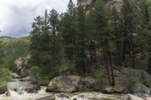
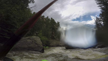
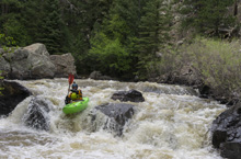
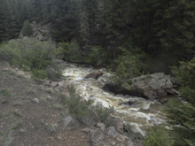
What a nice section of whitewater! This was one run we had hoped to kayak while visiting, and until the day before this it looked like a far flung hope. But warm temperatures brought all the rivers up, and inched this one up to 260 cfs. Low sure, a typical dam release is more in the 300-400 range, but beggars can't be choosers. The 260 cfs only felt low on the paddle in, which does drag on a bit and is a bit scrappy this low. But once in the rapids, it was more than enough water to feel like proper kayaking for all but the entrance to Supermax, which we walked. But on the bright side, the first falls of Four Falls was super benign at this flow so at least you could add that. Regretfully we did not, only because the write-ups we read said 99% of boaters will portage that drop. So we portaged. We didn't realize it was just a class III move with class V consequences at this lower flow. Oh well. Other than that, this run has a lot of nice rapids, some short, some multi step, a few nice boofs, and throughout… amazing scenery. The scenery changes drastically below the last significant rapid (Deer Creek Falls) but is stunning in a completely different way. I don't know what else to say, this run is special. Add it to your list if you are passing through.
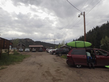
One note, the access has changed from what the previous guidebooks state. Do not put in down near the Farmers Union. We were politely told that the town had built an access behind the Rustic Station, so we apologized and drove up there to put-in adding a half mile of beaver dam drops to our run.
Mi 0.0:
- Beaver Dam Valley (II). The paddle in is full of small beaver dam style rapids built by farmers or fishermen… whichever they are unnatural. This paddle in is the limiting low water factor in my mind as even at our flow it was scrappy. I would not want to go in at the low end of recommended due to the paddle in tediousness I would anticipate. Also, stay on your toes for low bridges, fences, and private property lines.
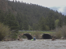
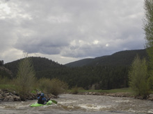
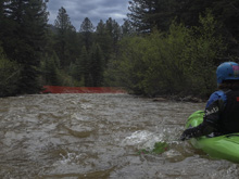
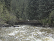
- Dream Home (II-). Finally, you go under a bridge, the river tightens up, and there is a wonderful house on the left.
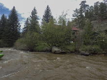
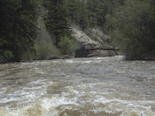
- First Taste (II to III). Not too far downstream is a foot bridge which marks the beginning of the rapids.
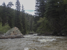
- Four Falls (IV to V-). Maybe at high flow this sequence gets to be V- or V, but I don't know. As it was falls 2, 3 and 4 where more like class IV or maybe easy IV+ at 260. I just can't see them getting all the way to V at anything but high flows. The first falls, however, is a consequential drop and deserves attention and respect. 80% of the channel at first falls goes into a wall and crack combo. The line if you choose to run it is to drive hard right across the lip and boof clear of the crack. The sources we read said 99% of the boaters will portage the first falls, so we portaged without scouting and then looked back up and regretted it as at low flow it looked very doable. There is then a big mellow section 200 yards long before the #2. This makes #1 seem like a separate rapid since it is easy to portage while still running the rest. #2 is a ramping falls to be run down the middle. This then leads quickly to #3 which you can eddy out above on the right. We ran the right moving center to boof through it. Then #4 is a ramp to a boof which was mellow. I imagine at release flows the holes get a little stickier but I just can't see a class V rating on this one honestly. I found it to be the easiest of the big three rapids on the run. Scout or portage using the old road on the right. This is private property, so please be respectful and do not go pee on the road or near the road. Go in your drysuit, it will help keep you warmer (jk).
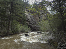
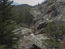
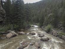
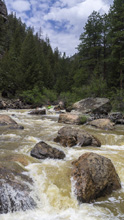
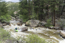
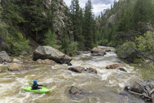
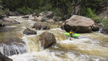
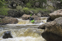
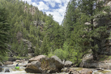
- Notch (IV- to IV). The next rapid had a tight constriction down the center between boulders.
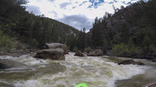
Steepness #1 (IV- to IV). A series of fun rapids, the notch is probably included in this section. We were able to run it all boat scouting.
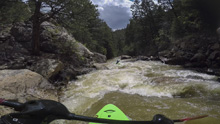
- Steepness #2 (IV to IV+). A standout rapid of the run. Diane scouted on the right from an eddy at the lip, again using the road. She then gave me beta, enter to the left of the curler then move with the current left. Do not hit what looks like a good boof on the right half way down as there is a pile of rocks hidden behind it. Instead, stay left and punch the mellow exit holes.
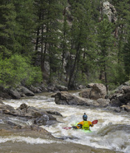
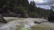
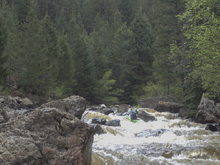
- The Steeps (IV- to IV). The next series of rapids is called The Steeps apparently. It is multiple rapids. We hopped out for the first on a right hand bend as we couldn't see the line from above, on the left I was able to see a nice left to right move to avoid the rocks in the middle at the top and followed by a nice slopping hole at the bottom to punch. There are a couple of other nice drops in here including some junky ledges.
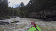
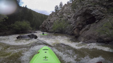
- Supermax (V). The biggest rapid of the run comes next. A straight away with larger boulders at the horizon mark this rapid. Get out early as the eddies are not great. Scout/portage left using the trail on the old road. The rapid consists of a top and bottom. The top has an s-turn that leads to the crux which is junky at lower flows which for us required us to portage. Normally people boof the middle rock and avoid the undercut right wall. This then s-turns back around into the lower. You can seal launch into the eddy at the top of the lower portion (called tampax… I hate names like this). At the low flow this is what we had to do. From here you run down, boof either center over the ledge that forms a big hole as flows increase, or shoulder boof on the right, to then run the bottom ledge ideally left. At low flow two sieves were present in the bottom ledge, but I have seen higher water video and seen that they get covered up nicely higher.
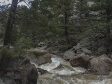
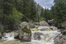
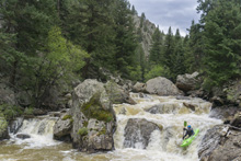
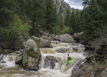
Exit (III). Below is a small rapid that we ran down the left. This then goes into a nice wall rapid where you for sure want to stay off the right wall as it was undercut and had a lot of flow going into it.
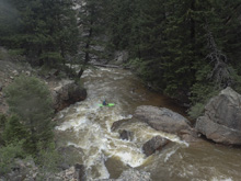
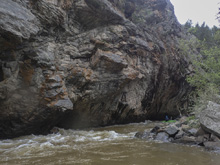
- Trashcan (IV+). A long rapid that we thought may have been Deer Creek Rapid as we passed a small creek just upstream. We scouted on the left using the road. A small lead in leads to a junky middle section, there was a line on the left that needed more water to have a better chance of avoiding the massive piton. So instead, we drove hard right onto a bit of a slide along the right wall, just make sure you work off the right wall by the bottom as there was a small pocket there. The rapid eases up and goes around a corner and picks up a little again with a nice hole to boof, perhaps the punchiest hole on the run, but also totally fine, just get your nose up.
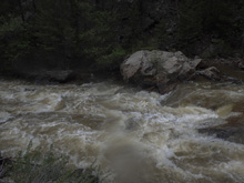
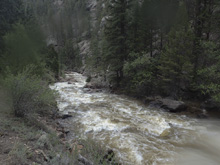
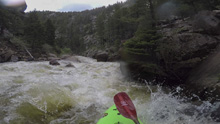
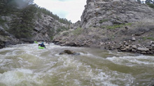
Boogie (III to III+). Some fun boogie fills this section. It is easier than the other boogie, so we began to think we may be in the paddle out.
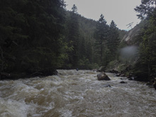
- Big Ol Flake Rock (III-). The rapid is easy, just zig zagging around. Instead, the reason I call out this rapid is because the rock feature is super cool and unique, and indicates that in a few hundred yards you will get to Deer Creek.
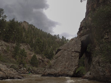
Deer Creek (IV+ to V-). I also can't see this one getting to proper class V rating. It is too easily broken apart into its pieces and the lines deposit you where you want to go. We didn't know we were there and entered a small drop into a big eddy. Looking down we could tell there was something bigger but hoped after one of us ran the entrance we could see more. Diane ran the entrance and found a nice boof right of center. She then hopped out and told me to scout on the left for the rapid below so we did. Below the entrance the river splits, the right had a big log which is fine as left is the line. Going left you go through a squirrely ramp which pinches and goes down into a reactionary. Drop down that with some left angle so it kicks you out left. Then the river drops onto a small slide, we went left of center erroring left to avoid what looked to be a submerged kicker.
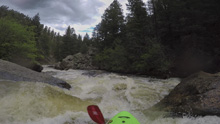
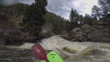
Boogie (III). Below, the river gets easier but there are still a few standout rapids.
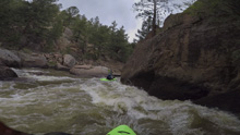
- Uppercut Undercut (III to III+). In a cool gorge, the river pinches into a narrow channel on the left. You want to boof with right angle so you kick out to the right as the left short is a bit undercut.
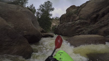
Boogie (III- to III).
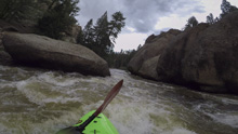
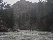
- Lower Undercut (III). Not a hard rapid, maybe this one is called Mystery Eddy, I am not sure where that one is but it is mentioned in AW. We ran down the right of this two stepped drop.
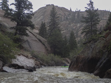
- Paddle Out (II). The river opens up and you have a fairly long and uneventful paddle out. There was one large boulder garden of class II that a tree could spell disaster in. But there were eddies to break it up and peek around the corner from.
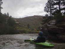
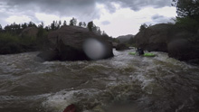
Take-out: From Denver, take US-285 out of town. From the CO-470 junction, continue 20.6 miles. In the town of Will-O-The-Wisp, turn left onto Pine Valley Rd. Go 5.9 miles, and just before the town of Pine, on a sharp left turn, look for the smaller road to turn right on, Crystal Lake Rd. Turn right and follow this 1.3 miles down to the parking area
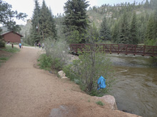
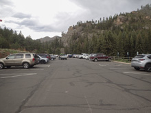
Put-in: Go back out to US-285, and turn left to continue south. Follow this for 5.8 miles to the town of Bailey. Turn left onto Wellington Lake Rd and then turn into the shopping center, the parking and access is behind the shops.
HTML Comment Box is loading comments...
