North Fork of the Middle Fork of the American River
| Stretch: | Last Chance Bridge to Mosquito Ridge Rd. |
| Difficulty: | Class V |
| Distance: | 10.4 miles |
| Flows: | ~350-800 cfs. Current Dreamflows estimate |
| Gradient: | 137 fpm average (Miles 1.5-5 are 200+/- fpm) |
| Put-in: | Last Chance Bridge on the Western States Trail |
| Take-out: | Mosquito Ridge Rd |
| Shuttle: | 35 miles (1 hour and fifteen minutes one-way) Plus a 40 minute hike downhill. |
| Season: | Spring from snowmelt. Challenge is finding the road open. |
| Written: | © 2011 |
| Featured in Video A Wet State #45 | |
I remember first being exposed to this run in an old Caliproduct update. I remember seeing huge drops being run, mostly successfully in amongst many sieves. One drop stuck in my mind, the Devil's Slide. This drop has a meaty hole that is hardly ever run as even with our low water flow it had a big hole pulling back from fifteen feet. Most people choose to seal launch in around the entry hole, landing on a slide dropping down fifteen feet to a kicker which sends you flying you down an additional fifteen feet. Such a cool looking drop. Too bad it it was on such a stout run that I never thought I would get to paddle it. It wasn't until a year or two ago that a group of my friends got on it at high water, prompting me to reevaluate my assertion that I would never get on it.
Reports were that for someone like me, there would be anywhere between 3-10 portages. With the right flow, the A-team boaters can manage 0-portage descents. At our flow, we had one such boater though even he was forced to portage the first big rapid. Another A-teamer took 3 portages, while Diane and I rounding out the B-team, took 6-7 portages, some out of fear, some out of ease. If I go back, I think I would likely knock two of my portages off. The remaining I think I will never get the desire to run.
So what can you expect when on this river? In typical second hand fashion, the S/H reports massive rapids not including the 7 even more massive rapids that were portaged on the first descent. However, it turned out the run was much more class IV-V aside from the huge 3 or 4 rapids. I should state that we had low water though, somewhere between 350 that PCWA was reporting (via boof) or 550/400 diurnal that dreamflows was estimating. I know of groups going in at 800 which is reported high. At our flow moves pushed quickly into sieves so I can imagine that the run gets stout quick with additional water. Is the run worth doing if you aren't going to run the stout drops? Yes. The rest of the rapids are good, even low, with cool moves and amazing scenery. The scenery was nothing less than spectacular the entire way down the run. The best section was certainly the gorge leading up to Devil's Slide, with 100 foot tall cliff faces, springs trickling down, and ferns overhanging which then quickly turned to polished granite shores reminding me of a higher altitude 420 gorge. Very cool. The price of this scenery is that a hike out which simply not be possible. Until mile 6 when you see the cabin where a trail heads downriver, there is no option for climbing up the steep canyon walls. You are either going to make it downriver, or be helicoptered out.
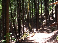
The day is a long day, so plan accordingly. From Auburn, take-out is 40 minutes away. Then it is a 1 hour and 15 minute drive to put-in. The hike takes about 40 minutes and drops 1,800 feet on the well groomed Western States Trail. Once on the water, you get a few rapids followed by a mile of warm up before arriving at the hard section. From there, there are 4.5 miles of class V whitewater with a section of boogie in the middle. After that, there is 5 more miles of class III-IV with 2 or 3 class IV-V rapids. With aggressive boat scouting, a short 15 minute lunch and minimal photography, we got out in 5.5 hours after we put on. To sum it up, we left Sacramento at 8:45 am, got to take-out at 10 am. Put on the river at 1 pm. Took off the river at 6:30 pm, completed shuttle at 9:30 pm and was home at 11 pm. So, thankfully it was the end of June this year when it ran, otherwise if it were April like most seasons it would have pushed getting off in the daylight. So now we know.
Thanks to Darin McQuoid for sharing photos.
Mi 0.0:
- Around the Corner (IV+). Around the corner are two rapids that had us scared for what the low water would mean. The first one was a slopping boof that slammed all of us unto the wall. Flipping half the group. The second one was just downstream and had a steep drop that landed in a cave. Point your nose left. It flipped half of the group as well. As I was upside down, floating towards some sieves I thought to myself, "it isn't too late to walk back to put-in and up the trail."
Boogie continues with a handful of class IV drops for the next mile. When you see a bunch of large boulders in the river, it is time to scout on the left.
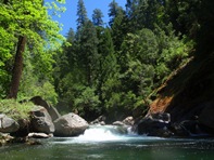
- Pinch (V). It went. But it was ugly. A small lead in led to a last minute eddy that we caught one at a time on the left. The river then dropped down steeply into a pinch on either side of a chalk rock in the middle of the river. If it weren't for the shallow rocks throughout the ramp, it would have been tempting. I have seen video of it run at higher flows. We portaged up and over the boulders on the left with minimal effort. Just below, the river is boxed in but we were able to scoot over a small opening amongst the sieves.

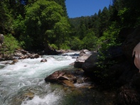
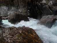
Junky (V). A long boulder garden, I remember entering on the right and eddying out left above the crux. The crux was a ramp down the right that flushed directly into sieves. I chose to walk the crux easily on the left. Others ran it with mixed results but all ok. The exit was a boof down the right.

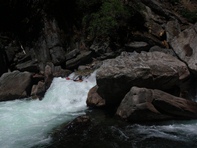
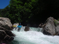
Don't Boat Scout Aggressively (V+). A steep boulder garden leads directly to the lip of the next scout/portage. The boulder garden is commonly boat scouted down the right. From there you are stuck. It takes some effort to get back upstream to where you can ferry back across to the left for the scout and or portage. At low water, those who were stuck were able to ferry across but it was high stress and only possible due to low water. The rapid's crux is a 20 foot tall slide that then gets split around a house size rock. The left is a massive undercut hole. The far right was a nice chute that lead to an exit boof and pool below.
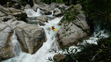
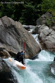
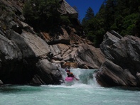
Boogie continues with a few notable rapids.
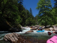
Double Drop (IV+ to V). A drop against the left wall lands in a good size hole. The river then drops over a shelf, you want to be right. Some of the water drops down the left into a bad cave on the wall.
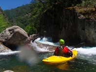
Second Double Drop (IV to IV+). An easier version, with two straight forward boofs. Really fun though, so it stuck in my mind...
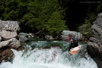
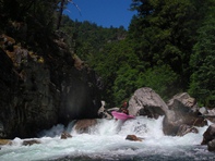
- Devil's Gate Gorge. The next half mile has several challenging drops in it and is walled in at times.
S-Turn (V- to V). An obvious horizon, easily scoutable from either side. A rocky lead in to a 90 degree turn and meaty hole. The person who went first got turned backwards, flipped and briefly chundered in the hole below. The second person aced it. Turns out there was a fun sneak/portage on the right around the scout island.
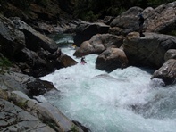
Few easy rapids...
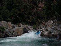
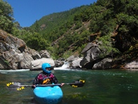
Not Twenty Footer (IV+ to V). At low flows, it was an easy boof. At high flows the left gets to have a large hole. I think you could go down the right at higher flow, though I am unsure. It looks to be unportageable, and also very hard to scout once at the lip. Below is a long rapid that had a 5 foot drop into a large hole in the middle. Drive right and boof.
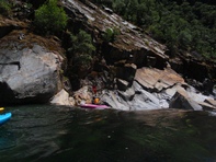
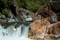
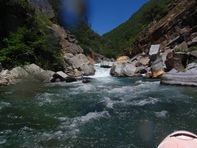
Two or three easier rapids leads to the pool above the main event.
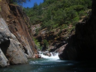
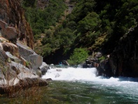

Devil's Gate (V to V+). At most flows, the entry hole is terminal and very dangerous. Thus, you seal launch in from the left and run the center of the slide below dropping some 25 feet top to bottom. Portaging is not an option, actually it is, but it would suck going up high around the cliffs on the right into the poison oak. Such a good rapid. We were all smiles and took lunch just below at 3:00 pm. (We got to the top of the rapid about 45 minutes prior but took time taking videos and photos and scouting additional angles to shoot from which didn't pan out).
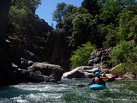


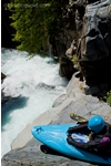
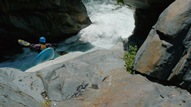
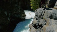
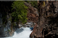
- Final Gorge. The final section of hard stuff is essentially one long and very steep rapid.
Entry (V). A small ledge leads to a large ledge best run far right so that you get a little of the wall on the right and get your nose up. (you can scout from the lip on the right). Then there is a small ledge which you want to move right directly after as all the water goes into sieves. Eddy out, and scout the next drop.
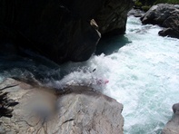
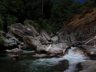
Fire-hose (V+). A junky lead in takes you to the lip of a sweet pinch drop standing 15 feet tall. We were all bummed that it looked difficult at best to portage the lead in and run the hose itself. Jonas ran it all and made it look marginal, but he made it down so congrats to him.
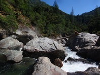
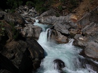

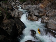
Exit (IV+ to V). Just downstream was a class IV boulder garden that then pinched off and dropped some 6-8 feet into a large hole that endered all of us... but left us with smiles.
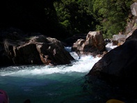
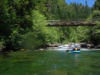
Easy But Awesome (IV). Below was an easier section of class IV that we routed through. The gorge was beautiful with polished walls and cool rock formations. Below here, the river got easier. A rope across the river overhead indicates that the hardest stuff is all behind you... though one ledge just downstream should stands out.

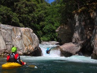
- Ledge (IV+). A ledge with a rock in the landing and large hole is just around the corner of the rope across the river. Scout or portage on the left.
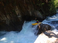
Second Ledge (IV). A double ledge is made a little more difficult by the fact that there is a tree in the top drop.
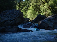
Second (IV). On a right turn is a steep rapid that is class IV and is boat scoutable.
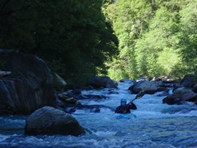
- A cabin on the left is the signal that the paddle out has begun and rapids are becoming significantly easier.
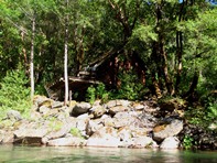
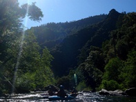
- Slide (IV+). A steep slide into a powerful hole is best run on the far left. Just downstream a short ways is a steep ledge drop that is also fun...
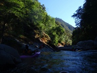
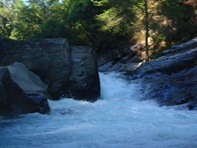
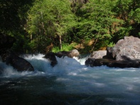
- The Secret's Out (V- to V). A long rapid with several powerful ledges and plenty of hazard. I would have loved to have scouted it (on the left) but instead our probe units fired off into it and Diane and I followed like lemmings. We worked right to left through powerful holes and then caught an eddy. And then continued down the right which contained a very powerful hole backed up by a rock that we all shot right through, but have heard stories of beatings at higher water. Just downstream, Secret Canyon Creek enters on the right, below are a few class III-IV rapids that lead to take-out.
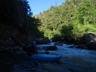

Take-out: From Auburn, take Foresthill Rd 17 miles to the town of Foresthill. Turn left on Mosequito Ridge road and drop 8 miles down to the bridge over the NFMF American. Take-out is best on the old gated road that drops down to the water on river right upstream of the bridge. A nice turnout to leave your car is on river right, just downstream of the bridge.
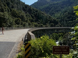
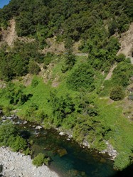
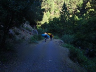
Put-in: Go back up to Foresthill, and continue on Foresthill Rd for another 16 miles. Just a shortway past Mumford Trailhead (Generation Gap trailhead) is a sign pointing "8 miles to Deadwood town, 7 miles to Devil's Thumb and something else I don't remember." Turn right on the dirt road. Follow for ~5 miles, stay right on the major road throughout. Near the 5 mile point, you will see a sign on the right pointing "Devil's Thumb" to the left, turn left. In 200 yards or so you hit a T, turn right. Follow this another 1.5 miles or so to the trailhead on the left. You will drive past a trail dropping randomly off the road, keep going. The trail is in a small opening and is 100 feet off the rd to the left and has a small placard telling you of the historical significance of the trail. The shuttle takes 1:15 hours and requires something with a little clearance... no Civics, but any sort of Forester or Outback will have no problem.

HTML Comment Box is loading comments...
