North Fork of the Boquet River
| Stretch: | NY-73 to Split Rock Falls |
| Difficulty: | Class IV+ |
| Distance: | 3.5 miles |
| Flows: | 3.25' to 7.0' on the E. Br. Ausable (5.4' felt medium). Visit the American Whitewater flow page |
| Gradient: | 137 fpm average |
| Put-in: | Just below the NY-73 bridge |
| Take-out: | Turn-out at Split Rock Falls / NY-9 bridge |
| Shuttle: | 3.5 miles (5 one way) |
| Season: | Spring from rain and snow melt. Occasionally off of thunderstorms. |
| Written: | © 2015 |
| Featured in A Wet State #99 | |
North East Roadtrip 2015 - Day 4 Morning
Waking up at Culley's house we looked at flows. New Haven hadn't come up yet but New York seemed to be. So we planned on John's Brook followed by north Boquet with a fall back of the Ausable Chasm. As we crossed into New York I started getting the feeling they must have gotten a lot more rain than we expected as little creeks were full and brown, and waterfalls were plunging from the cliffs surrounding Lake Champlain. Our concern was validated once we arrived in Keene Valley and got a look at the flow on John's Brook. A quick text of a picture of the flow at first bridge validated it was way too high for a descent for a pair of boaters who knew virtually nothing about the run. Dang.
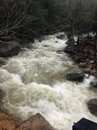
So, plan B... head to North Boquet though there was some confusion as some sources just call it the Boquet. Either way, this is the classic section on the Boquet. The section of the North Fork above NY-73 has been run, but it is not common. Same with the section of the South Fork above NY-73. I think the confusion is just that the first 1.3 miles is on the North Fork, but then it hits the confluence and just becomes the Boquet for the remainder of the run.
Putting in just below the NY-73 bridge offers no warm up for the Shoebox falls. Putting in higher (above the road) only looks to be harder so unless you are looking to extend the run with more class V, that doesn't offer a warm-up of any sort. Below the falls things ebb between mellow floats and "gorges" of sustained rapids. Just below the falls, things start class III before becoming class II, just before the confluence it grows to class III and IV-, the next gorge is the hardest with non-stop class IV moves making it a class IV+ gorge, before it again pewters out up to the final gorge which is class III- with the exception of Andy's Hole which is a mean two tiered drop with a large sieve in play and a large uniform hole to clean things up. Once again things wind down to the take-out... unless you are looking to huck the Split Rock Falls at take-out, a feat which is possible, but only recommended at low flow.
After our run we considered going to the Ausable, but the flow was very high so we opted instead to race back to Vermont (2.5 hours back the way we came) to get New Haven Ledges which had begun to spike up to a very fun 730 cfs. So off we drove!
On the Boquet, we had 5.4' on the E. Br. Ausable gauge. I thought this was a great flow. Plenty of eddies, some sticky holes, but I didn't feel like I was getting pushed anywhere. Probably a perfect medium flow by California standards.
Last: North East Roadtrip: Day 3 Afternoon (Mill Brook)
Next: North East Roadtrip: Day 4 Afternoon (New Haven Ledges)
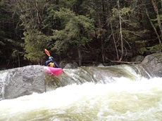
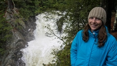
- Shoebox Falls (IV+ to V). No warm up here! We put in at the lip and slid right into the current. The falls has a great boof on the right that turns 90 degrees towards the left wall. You want to drive right and boof it resulting in a 90 degree right turn. Now keep it straight to punch the boxed in hole just below!
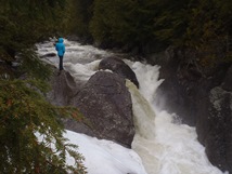
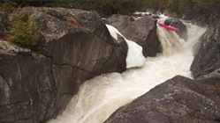
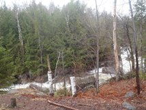
Class III Gorge (III). Just downstream the river starts going with a bunch of fun class III to warm-up on.
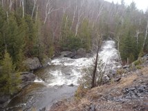
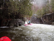
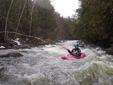
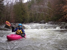
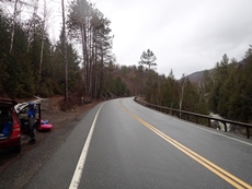
- Confluence Gorge (III+ to IV-). Just above the confluence (as you drive it is 100 feet, on the river it is almost a quarter mile) the river pulls away from the road and drops into a fun busy gorge. This gorge was class III+ to IV- at our flow. Lots of eddying out, but no scouting required. The view looking back at the confluence is quite nice too.
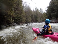
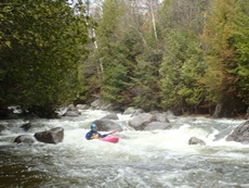
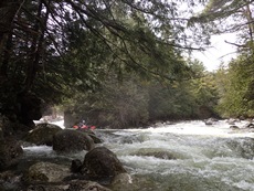
- Bedrock Drop (IV-). In the middle of the mellow section between gorges comes a random bedrock drop. We hoped out quickly on the right to inspect. It was a nice slopping drop of about 4 feet into a sticky hole. Just keep your nose up and you pop right through.
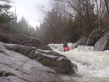
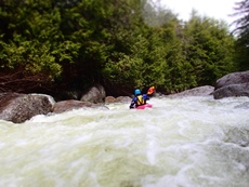
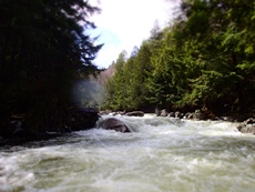
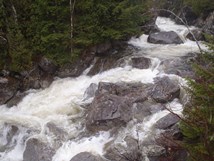
- Class IV to IV+ Gorge (IV+). At the end of the mellow section, the river again pulls away from the road and gets noticeably steeper in a hurry. This section was almost all boat scoutable though we did hop out twice to inspect if main lines were boofable rather than sneaking around an obvious line from the boat scout. In both cases they were. This section is very continuous though, it all blends into one rapid and there are a lot of holes and boofs over holes. Not the place to be feeling out your class IV chops. No single move was over class IV, but I feel like the gorge in its totality deserves a class IV+ rating.
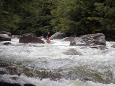
- Second Class III Gorge (III). After another mellow section next to the road, it once again pulls away and builds to easy class III. Then you will see an apartment size rock and notice some gradient on either side, it is worth scouting as you are at Andy's Hole.
- Andy's Hole (IV+ to V-). The guidebooks call this a portage... the hole is bad. There is a sieve in the rather large lead in. But the rapid also certainly goes. We just started portaging and began to regret it as 1) the rapid is totally runnable and 2) we both took head dives off of a shelf while trying to climb back down to the water below the portage. The entrance splits to either side of the large apartment sized rock, the left had a good hole, the right had a line between pitons. However all of the water in the middle third of the river sieved out. Apparently it has claimed a life. Then just downstream is the very uniform 5 foot ledge that has recirculated people and needs to be approached cautiously. I think if I were to do this run again and did not feel like running this rapid... I would take out here. There is a turn out on the NY-9 that I think is right here though I did not verify it. But I think it would only be like 100 yards through the woods to access the road. Downstream the gorge quickly ends and you paddle to the bridge.
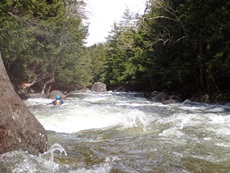
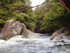
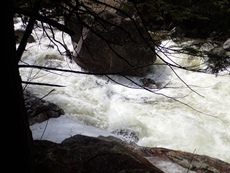
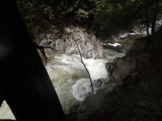
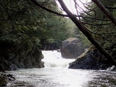
- Split Rock Falls (V+). This drop is big. I don't know if it gets run when the flow is up... it looked burly. Perhaps if you could skip out off the top right side with plenty of speed and left momentum you could then grind the left side of the drop. Individual, both tiers drop ~20 feet so the drop approaches 40-50 feet tall in total.
For more details on the run, see the AW write-up...
Take-out: From Elizabethtown, NY, head south on NY-9 for 8.2 miles to the turnout at Split Rock Falls, just before the road crosses the river. Exit the river immediately below the bridge. You DO NOT want to bumble off of Split Rock Falls.
Put-in: Continue south on NY-9 for 2.1 miles to the junction with NY-73, go right. Follow this for 1.3 miles (crossing the South Fork of the Boquet) to a turn-out on the left just before the bridge over the North Fork of the Boquet. We put-in at the lip of the 90 Degree Falls just downstream of the bridge.
HTML Comment Box is loading comments...
