Mill Creek
| Stretch: | Ansted to New River |
| Difficulty: | Class IV to V |
| Distance: | 2.0 miles |
| Flows: | No gauge (6" to 16" on the put-in bridge gauge). Check the "Fayetteville Whitewater" facebook group. |
| Gradient: | 190 fpm (240 from Mill Creek Falls to first site of the New) |
| Put-in: | Bridge on Chestnutburg Rd |
| Take-out: | Confluence of Mill and the New, Hawks Nest Rd. |
| Shuttle: | 2.2 miles, dirt but not bad |
| Season: | Winter and Spring, rain (and occasionally off of thunderstorms) |
| Written: | © 2016 |
| Featured in A Wet State #112 | |
Mill Creek is one of the classic runs in the Fayetteville area. Along with of course the Gauley, as well as Lower Meadow and Mann's Creek, these runs are known for their classic nature, and challenging whitewater.
As the week was winding down, plans were getting made... the original plan was to hang out with David Maurier on something entertaining but not overly difficult since Med School has kept him out of his boat for the past 8 months. As the weekend was approach, the powers that be were not supplying water... so, the plan was the Ocoee. But then I realized that the Ocoee only runs on Saturdays, and only the middle section, for the early parts of May. Scrap that idea. So, mama Green is the obvious go to... but the Green is just so... common. So, instead I thought to get in touch with some West Virginia friends to see if stuff up there was running. And to our luck, things were... plenty of things!
The original plan was going to be to do Mill Creek Saturday morning, Middle Meadow with David Saturday afternoon, and potentially Mann's Creek Sunday morning. As it turned out, we opted out of the Sunday plan in exchange for more time spent with David and for a mellow day after a night with not enough sleep. The other part of the plan also involved on not leaving Knoxville until Saturday morning because Diane didn't get off work until 6 am... which turned into 7 am thanks to hospital workings. Needless to say, I didn't have much company during the drive due to the comatose state that Diane slipped into moments after sitting in the car.
As I drove, we got confirmation that Mill Creek was low, but still in. 4 hours later when we arrived at the creek, I was surprised to see that the river had basically held fast and was just a smidge below the low recommended level. A few minutes later, after meeting up with Chad, Erik, and Matt, we found ourselves pushing off into the creek... Diane splashing herself in the face to try to finish waking up.
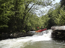
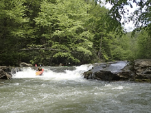
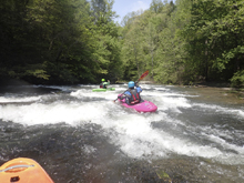
The river starts off pretty mellow. Some fun boofs and boulder gardens lead to the start of the goods, at Mill Creek Falls. From there, the river gets steeper and more dangerous. Be on your toes for wood, sieves, undercuts, and pin spots. At the low flow we had, we snuck Headless Horseman and portaged Rock Wall. Headless may have still gone, but I scouted from the wrong side thinking we were at Rock Wall and was the only person in our group who seemed to have memorized some video beta. So rather than working my way upstream to ferry across and scout myself, I just snuck it on the right while the rest seal launched in below the entry undercut. Downstream, the rapids continued at a high rate with great moves all the way to the slack water of the New.
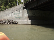
I would say at the low flow we had, the run was only IV to V. But as flows come up, I am certain that the rapids get harder as everything begins to link together and become more consequential. At the low flow, I would say only Headless and Powder House are legitimate class V drops. For the record, we had 6.5." A nice low flow is ~8" I am told. Medium is 11", high is 16." Apparently people will run the upper section down to the falls at flows up to 24" but rarely continue on down past the falls. The gauge is at the put-in, downstream river right side of the bridge.
Mi 0-3.5: Mi 0.35:
- F'd Up Falls (IV). Easy enough, just don't over achieve. You can scout on either side. The line is the left side of the right channel. Over achieving left will drop you into a sieve, so it is worth making sure you know where you are going. The correct spot involves a reconnect on the backside of a slide to set a nice angle.
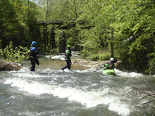
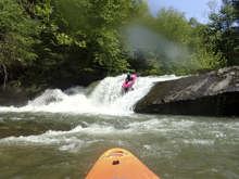
Boogie (III to IV). Some more fun boofs and rapids await downstream.
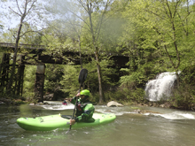
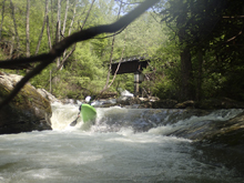
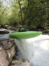
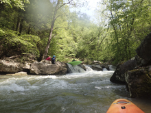
Island (IV to IV+). You come to a rock pile, at low flow go right which is a slide along the wall to a boof. At higher flow I have seen people run the center slot, it looked a little sievy at low flow.
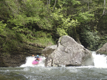
Slide to Falls (III to IV). A long slide will lead you to the lip of the falls. Eddy out right before the falls.
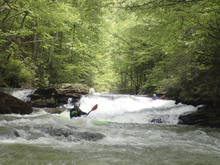
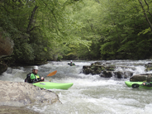
- Mill Creek Falls (IV+). Depending on the flow, there are two lines. Directly over the main shelf, just left of center is the higher water line. Be aware that you can piton if you plug too much. Also note the tree in the landing which is angled up out of the falls in the middle. The low water line was to go through a small slot on the right and reconnect boofing out to the middle. The latter is what we did.
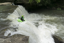
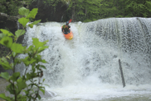
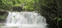
- Split Channel (IV+). A little boogie leads to a spot where the the river splits around an island. The left side has a 4 or 5 foot boof off a shelf, but was a little low for us. The right side is a junkier boof in amongst rocks. The river then recombines and immediately splits again. The right side is a slide to a boof, the left side is a curler to a boof over a hole. At the low flow we opted for the left line as the slide looked too scrappy.
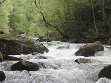
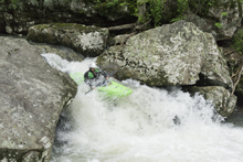
Dry Line Falls (IV). Just downstream was the last falls. This drop stands about 10 feet tall. You want to go left of center and boof the drop. The hazard is being too far right and slamming into the spire rock in the landing over there. This drop is super easy to scout on the left.
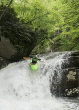
- Headless Horseman (IV+ to V). Scout on the left as the right makes it so you can't see the rapid. The rapid has two channels, the right most was ok as a sneak around the main move. The main move in the left channel is to boof driving right and landing basically under an undercut. This then slides to a fluffy boof over a hole.
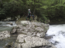
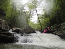
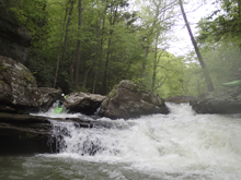
- Powder House (V). This is the biggest rapid on the run that is regularly run. The entrance is a four foot boof into a caldron hole backed up by a rock which diverts water into the left wall before curling its way down into a rock pile below. Boof in, stay off the wall, and exit among the rocks down the right. Note, the rapid immediately below is a junk pile. We scouted, opted to go down the left, got home and found out it is where the fatality happened on this run. I am not sure what people normally do... But the hazard is a crack in the left wall that the water deflects into and can pin you.
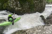
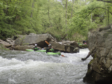
- Rock Wall (V to P). This rapid is most commonly walked, and was a no go at our low flow. There is a sieve in the main line that you have to drive up and over a rock to avoid, which then drops you into a caldron which pushes into another sieve on the right wall. The walk is easy on the right. We took it.
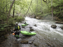
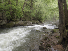
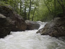
Some more boogie entertains you. There is one where the river splits and is junky, we went down the only obvious choice, the right channel.
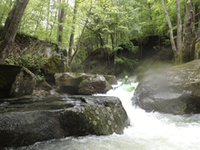
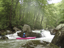
Island (IV). The right side is a junky rapid, whereas the left side of the island has a nice boof and a slightly junky exit.
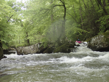
Last Scout (IV). The last time we hoped out was for a blind drop that looked ugly at low flow. It ended up being ok. Be aware, the right wall is undercut above the drop, so avoid getting to close. The main drop just run down the right moving center to try to boof the tip of the rock.
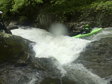
- Things start to wind down, a few smaller but fun drops quickly lead to the slack water at the New River!
For more details on the run, see the AW write-up
Put-in: From Fayetteville you go past put-in to get to take-out, so I will start there. From Fayetteville take US-19 North for 1.9 miles. Just after you cross the New River, turn left on Ames Heights Rd. Continue straight on this for 4.2 miles. At that point, you cross the put in. The gauge is on the downstream side of the bridge, river right piller.
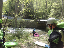
Take-out: Continue over the bridge. In 0.3 miles, you will get to a road, turn left and cross the small creek. Don't confuse this with some small roads that drop down to the sewage treatment plant. The road is obviously a bigger road that goes off to the right, paved and everything. That is where you go left. Anyways, this is a dirt road and will parallel the creek. You will see the falls, but not much else of the big stuff as it is tucked away. When you get to the New, you can park on the right or left. Certainly there is more room on the right side of the creek.
HTML Comment Box is loading comments...

