Mill Creek (Lower)
| Stretch: | Ponderosa Way to Highway 99 |
| Difficulty: | Class IV-IV+ with a few harder |
| Distance: | 28.7 miles |
| Flows: | 500-1,500+ cfs. Current Dreamflows gauge |
| Gradient: | 66 fpm average (miles 2, 3, 9 are 100+ and many others are 80+) |
| Put-in: | Ponderosa Way |
| Take-out: | Highway 99 |
| Shuttle: | 67.4 miles (2 hours one-way, dirt road, Civic passable but that would suck). |
| Season: | Spring from Rain/Snowmelt |
| Written: | © 2011 |
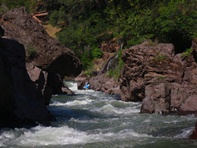
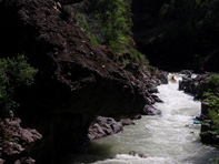
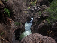
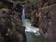
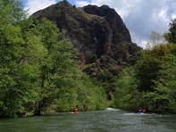
Hands down, this is one of the most uniquely scenic runs in California. Unlike the granite that the Sierra Nevada are famous for, Lower Mill Creek runs through lava flow for most of the 30 miles. With towering bluff walls rising high around you and the high desert vegetation, the scenery will draw your attention at every turn. In addition to the fabulous scenery are miles upon miles of fun class IV and IV+ rapids. In many places, rapids choke down to be less than 4 feet across, easily allowing you to touch both sides of the wall simultaneously. An amazing experience for the mind and your senses, you will also get to test your nerves with hopes that the countless pinches are free of wood as you drop down the lead in rapids. Furthermore, you will soon determine that lava erodes quickly and thus the river is full of deep undercuts. Many are above the water line, but that begs the question of what is below the water. Occasionally, you can see just below the waterline the wall recesses into what is most probably a deep undercut or cave.
Many sources label this run as class V. We had 625 cfs and I know of hardshell trips down to 450 reporting it was still very fun. I also have heard at flows above 1,000 it is a lot of fun. What I can tell is that the rapids themselves do not create a class V run. I would say there were maybe two class V- rapids, one class V rapid and many many class IV drops some a little more difficult than others. However, to do this run even in two days you need to be comfortable boat scouting. If you were to get out at every rapid to scout, you will spend three days in there. For the first 20 miles there is literally no let up to the run, one drop after another with few to no pools. Because of this, I think if you have a solid boater to probe the run, the rest of the boaters could be class IV+ in skills and still have a fun time without having to worry too much about making the trip an epic.
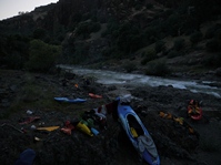
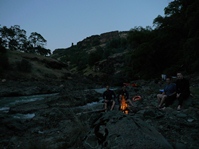
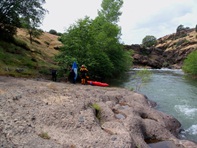
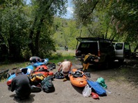
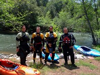
Camping early in the run is common, however by the time you get to about the half-way point camping gets less frequent. We found a small rocky beach that had enough space for the four of us to sleep on relatively soft sand. We never did see the spot that cacreeks talks about for camping. We put on at 12:30 or so and took only one small break, scouted twice, portaged twice, and got to our camp spot at 5:30. We had a deadline of wanting our drinks of choice in hand when (if) the Rapture occurred as predicted at 6:00 on May 21, 2011. Hence, as 6:00 pm approached we looked for a camping spot. That night we slept under the starry skies with flashes of lightening from the thunder storm that was supposed to hit us but instead stay just out of sight. We woke in the morning, unsure if the Rapture occurred and if we were left behind and headed downriver. The second day was significantly easier than the first. Class III rapids with only a few class IV was the name of the game to the portage. Below the portage a few more class IV rapids await while exiting the gorge which then abruptly drops you off a ledge and deposits you out of the lava field and into the Sacramento Valley. Class II and two diversion dams downstream occupy the next several miles to take out.
Also, a random fact: Did you know that Mill Creek ranked first (a fraction of a point above its Southerly neighbor Deer Creek), of all Sierra streams, in the prestigious Sierra Nevada Ecosystem Project's (SNEP, 1996) Index of Biotic Integrity, receiving a score of 93 out of 100?
Thanks to Darin McQuoid for sharing photos.
Mi 0:
- First Rapid (IV-). Not much of a warm up here, the first rapid is a blind drop that we ran down the far left just 0.3 miles below put-in.
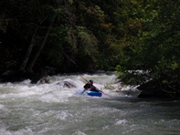
Pioneers Portage (IV to IV+). A multi-tiered rapid with some consequence. The first was a bit junky, we ran down the middle then caught an eddy in the middle of the river. The exit drop we boofed right of center to avoid a good size hole in the middle.
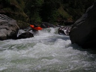
Roll the Dice (IV). A nice rapid that we ran down the left, punching a few holes and running through a few seams.
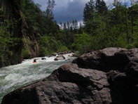
Boogie
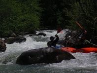
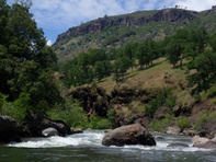
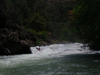
- Landslide (IV+ to V-). We all thought this was the hardest rapid on the run... though perhaps that is because we ran it blind. This rapid had three distinct parts to it. The first was a nice ramp into a reactionary and a few big holes. I then fought for an eddy on the left, which the next two people blew by and continued down. The second part was a boulder doge through good size holes and amongst many rocks. The final moved looked tempting to charge the rock fence occupying the left three quarters of the river, don't. The fence is a nasty boulder choke. Go right to the blind corner for a mild ending. We were all smiling at the bottom of this rapid but all thought we were lucky to read and run it correctly and that there was no wood. For the record, it would be a miserable scout.
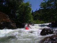
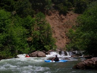
Boogie
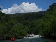
- Ramirez's Rescue (IV+). An obvious horizon line, we boat scouted from the lip on the left. Junked down the entrance far left to avoid what looked to be a bad hole in the main boof line. From there, dodge some rocks and punch some holes.
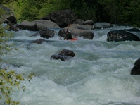
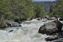
- Table Mountain Gorge (IV to IV+). Many rapids in this section, one sticks out and should be scouted. You will notice a large pinch with water refracting in weird directions, at this time you will eddy out right though the easy portage is on the left. Once on the right, you have a bush-whack to portage. Some people run it but the large hole and the wood in the drop was enough to inspire us to portage. That rapid is called "Kitchen Sink." Update: A month later we went back and Jonas and Darin ran the Kitchen Sink Drop. One got pushed into the undercut and was ok, the other got through fine, both sorta plugged.
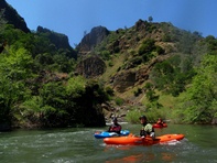
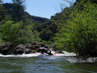
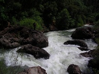
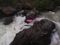
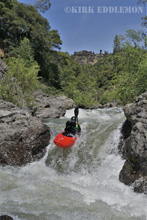
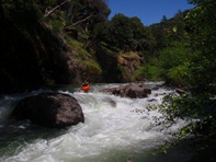
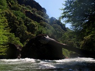
The gorge lasts for about a mile and then the river opens up again. You may want to look for camping in this area as camping gets much sparser downstream. It makes for a short first day but if you plan for a later put-in it works out well. We found a great spot my second time in in this area that had plenty of room for many people.
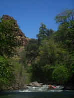

- Deep Gorge (IV+). The river tightens up and you know you are approaching the Deep Gorge which will keep you busy for a mile.
Double Drop (V-). When you get to vertical mud walls with caves and a roaring drop below, it is time to scout on the left. A double drop into big holes was enough to put us on the shore for a short walk. That drop is class V-ish, the rest is easier. Update: When we returned the next month we all ran it, either left or right. It all went well.
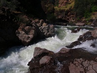
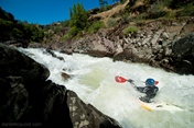
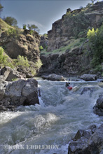
Chute (IV+). A cool chute with off center curlers and holes to punch. Great fun.
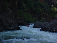
Oregon Kayaking (IV or V). We were keeping our eyes out for the rapid that Oregon Kayaking made sound so ugly so when we say the large rock in the middle of the river we knew we were there. To my dismay the portage looked horrible. But then Steve approached the lip and noticed we could sneak far right down a double drop to avoid taking the huge hit, followed by an undercut play, followed by more rocks. Good call.
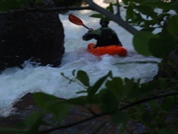
Ledge (IV). Sieves in the center, we opted to sneak down the ledge to the left.
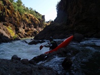
- Every mile or so you drop into a mini gorge that can be as narrow as 4 feet wide. Incredible. Some have class III-IV rapids leading into them while many are flat. What a cool place and experience. Though soon you will notice that many of the walls have huge overhands and caves which make you wonder what is just under the water. Not a place to be swimming or floating backwards, that is for sure.
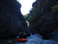
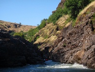
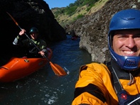
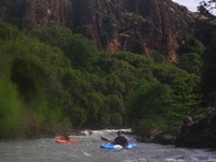
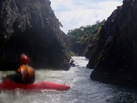
- We camped at a small beach on the left that had enough sandy room for 4 of us, though not many more. Camping was common above this spot, but not below. I am glad we stopped when we did.
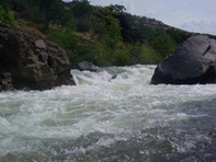
- Ledge (III-IV). An out of character ledge, we ran next to the house size boulder going right to left and boofed into a good hole.
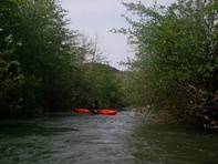
- Dead Man's Narrows (P). After you start boating through vegetation, you know you are getting close. You will then boat past a stick gauge on your left just before a pool. Get out here and walk up the small hill to the left and carry down to the end of the bench where you can put back in. We seal launched in but you can carry a little further and put-in closer to the water.
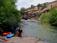
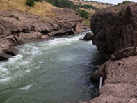
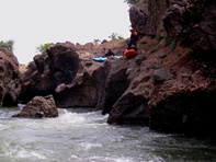
Blind Curve (IV to IV+). Only probably a class IV drop, but dang it was blind from above. We though it went, so I went. Down the middle heading left, punch a hole, turn right, punch a another hole and stay off the undercut left wall. Update: When we returned a month later, a group had a bad boat pin that required significant effort to get the boat out of. be aware that the center rock pile is a little dangerous...
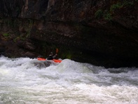
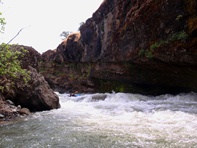
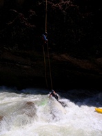
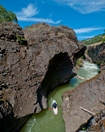
Below was a super cool though relatively easy gorge. One last exposure to amazing scenery before the river opened up into the valley. The last drop was a small ledge run anywhere but right. Then, just like that, you are out of the lava rock and in the valley.
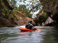
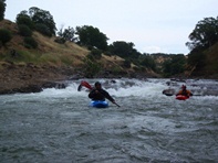
- Dam #1. We portaged on the right, which sucked hiking up 5 minutes then back down another 5 minutes. It looked bad so none of us wanted to chance the hydraulic.
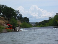
- Dam #2. The fish ladder on the far left went very easily. Or there was a 10 foot portage on the right.
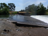
- Sherwood Blvd bridge overhead marks the end for those parking on the McCabe property or another 0.8 miles for those paddling to Highway 99.
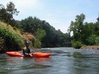
Take-out: To get to take-out, go North on Highway 99 out of Chico. Continue to the town of Los Molinos. Either take out at Highway 99 or if you have Steve McCabe do your shuttle (very worthwhile and cheap, (530) 519-1040) he will leave your car on his property just upstream 0.8 miles at the first bridge on Sherwood Blvd.
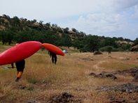
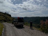
Put-in: Continue North on Highway 99, as you enter Red Bluff, turn right on Highway 36. Follow this for 20.0 miles. Turn right on Paynes Creek Loop and in 0.3 miles turn right on Plum Creek Rd. Continue for 8.3 miles and turn right onto Ponderosa Way (marked). Continue down into a cool little creek canyon, back up and down into Mill Creek 20.3 miles later. Just before you get to the bridge, turn sharply right to go to the campground to put-in.
HTML Comment Box is loading comments...
