Merced River (Park Boundary)
| Stretch: | Top of El Portal to Highway 140 Bridge |
| Difficulty: | Class IV to V |
| Distance: | 2.1 miles |
| Flows: | 500-2,000 cfs. Current Dreamflows gauge |
| Gradient: | 177 fpm for 0.75 miles then 119 fpm |
| Put-in: | At the Park Boundary Sign (not the gate) |
| Take-out: | Highway 140 bridge or downriver. |
| Shuttle: | 2.1 miles. (5 minutes one way) |
| Season: | spring into early summer, from snowmelt |
| Written: | © 2014 |
So I decided to break this section out on its own... though it is almost always done in conjunction with the downstream El Portal section of the Merced. The reason why is because this run starts a solid step harder than the rest of the Merced before it eases to a half step harder. Because of that, it is not done all that often as most groups who go to the Merced put in at Red Bud with the adventurous folks putting in at Highway 140 bridge. It is however a very nice addition if you are capable to add the challenge. It can certainly provide a thrill for more experienced boaters before joining their more cautious friends on the lower sections. Our day we started with 3 at the top, picked up 3 more half way down this section, 3 more at the 140 Bridge, and 4 more at Red Bud. Really a great way to make it so boaters of all skill levels can enjoy one river trip!
This was my 4th trip to the Merced, two of the three previous trips were at really high water and thus this upper section was a no go. The third trip we only had playboats so again, not something we wanted to bite off. Finally though, this year (2014) we joined some of our friends whom we wanted to catch up with for one more river trip before departing the state for a few years. And while the group was splitting up to head higher and higher up the river, we spotted the cascade half way down this section... and decided that we wanted to continue up and run this rapid. And thus, finally after 9 years of boating on the Merced I finally got this section.
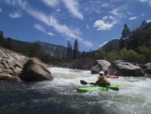
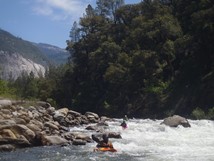
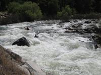
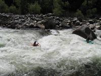
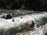
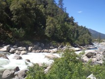
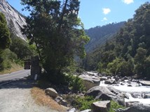
The river starts off with a bang. The first rapids are steep and powerful, scout before putting on. You can also walk upriver a rapid or two to get a few more in as well if you want. Either way, there is no warm up starting up here. Below the first set, things mellow out for a third of a mile before the cascade that you can't miss from the road. This rapid is long, powerful, and has some consequence near the bottom. Even at 950 cfs (at Pohono) there was no slack water between the moves which lead directly to a large bouldery tumble above a few more big holes. At high flows, I could see this section becoming very dangerous. But at this flow, it was great! Great padding on the rocks, and the holes were big enough to have some teeth, but not overly retentive. Downstream of the cascade, the river stays continuous class IV... giving it an overall class IV+ feeling I would say. And even at the low flow, the rapids packed a few powerful holes. So be careful even if you choose to put in below.
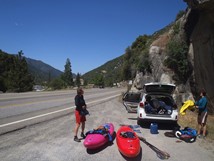
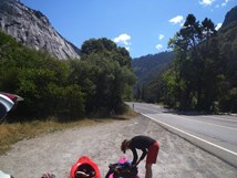
The two optional lower put ins for this section are at the Chevron station, or upstream just below the large cascade. Or continue up to the park sign at the boundary of Yosemite (large turnout just before it) before the road pulls away and you get into the crazy looking "Merced Gorge" section. Man that stuff looks nuts... worth a drive up just to gawk if nothing else! And of course, make the 20 minute drive to the valley floor itself. Might as well right?
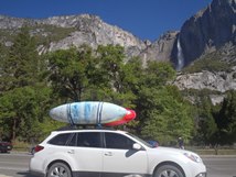
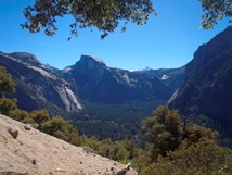
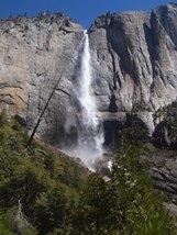
Thanks to Tom Overhoff for his contribution of pics.
Mi 0:
- Put-in (IV+). Directly below put in is a big rapid. We ran down the middle through a small pinch that was guarded by a big hole. There was also a clean looking boof on the left.
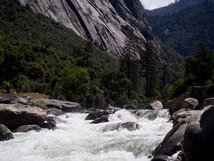
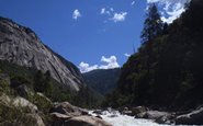
Ledge (IV). Directly downstream was a ledge that we boofed over left of center, you can boat scout from the right eddy,
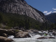
Read and Run (IV). This then entered some read and run boogie. We started right, then worked left. This eventually mellowed out to class III-.
Cascade (V). There were three distinct parts to this rapid. The entry had a long read and run lead in that we ran down the right before the actual "entry." We ran down a small channel on the right. We did this while eddy hoping, I think there was a clean line on the left... but I didn't really look. It was certainly bigger of there. The middle was best run far left before moving back center. There were some good holes even at the low flow. Below is 100 yards of boogie with 2 or 3 descent holes that leads to the crux section at the bottom. We ran center moving right over a 6 foot ledge. Left lands in a pile of rocks... don't go there. Below is a hole above a nearly river wide hole. If you can get far left, do, if not just boof it.
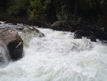
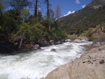
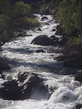
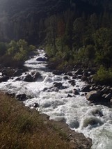
- Read and Run (IV to IV+). At the low flow, this was just some fun read and run hole punching and rock dodging.
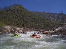
Boof (III+). As the river bends to the right you will see a large rock on the right and an overhang on the left wall. Stay off the left wall and boof the left side middle channel. This then went into a nice hole bashing affair that we ran down the middle.
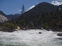
- Chevron (IV). This section is near the Chevron, and has several fun splashy class III/IV rapids with a few holes to avoid. Really nothing too unique, just avoid the hole here or there and follow the main flow.
You then quickly drop under the Pohono Bridge and begin the normal El Portal Section
Take-out: Realistically you are going to continue down into the downriver sections... unless you want to do laps. If so, just as you enter the town of El Portal Highway 140 crosses the Merced, this is take-out.
Put-in: Continue up Highway 140. Either put-in at the Chevron, or below the big cascade, or right before the "Yosemite Park" boundary. I would scout the cascade's crux bottom move before putting on because once you enter the middle section of the rapid it is hard to stop to scout more.
HTML Comment Box is loading comments...
