Meadow River (Middle)
| Stretch: | Nallen to US-19 | |
| Difficulty: | Class III to III+ | |
| Distance: | 7.15 miles | |
| Flows: | 600 to ?,000 cfs. Visit the American Whitewater flow page | |
| Gradient: | 39 fpm average (58 fpm for the 1.8 miles of rapids) | |
| Put-in: | Bridge on WV-41 in Nellan | |
| Take-out: | At US-19 Bridge | |
| Shuttle: | 14.0 miles (20 minutes one-way). You can trim 6 miles and 7-10 minutes off of the shuttle with one illegal turn. | |
| Season: | Winter and Spring, rain (and occasionally off of thunderstorms) | |
| Written: | © 2016 |
Last year at the end of our North East Roadtrip, we got the Lower Meadow. This year, we were looking for something mellow we could do with a friend who hadn't been in their boat much lately and needed a warm up run. With that in mind, we decided to do this run the afternoon after doing Mill Creek.
The run was actually a total surprise to us, not only were the rapids super fun at 1,400 cfs, but the scenery was top notch too. The mountains were not huge, but the rock features at the river level were what was special. Columns rising out of the middle of the river with singular trees adorning their crest, rock caverns capturing flow that dared too close to the shore, as well as the abundance of wild life made this river really quite fun and entertaining. So much so that we decided to go back and run it again the following morning. Now if I had Leland's North America guidebook with me we may have gone to see what the Upper section was about as it sounds quite nice too... but AW only had the shuttle option that involved like 8 miles of flat water paddling... so of course we avoided that! But it is good to know for next time, there is a shorter option for the Upper that just contains the goods!
So, this run as I said was very pretty. In general the run was just class III in nature, with maybe one that started to border on class IV. However, there is a 2 mile section where the action is pretty nonstop and I could imagine a class III- boater could get intimidated. Additionally, this river does have some undercuts that although are not directly in play, are not out of play either. So, take even the smaller rapids seriously. We had 1,420 cfs the first day and 1,120 the second day. The first day was the superior flow for sure. Higher would be great fun too!
The only downside to this run is the 1.7 mile paddle in to the rapids. Apparently you can put in lower if you want... but we just used the easiest access. The paddle in only took maybe 20 minutes and allowed for a nice warm up and time to chat with friends. Oh, I guess there is a second downside, when you get to take-out, you have to hike up to the road above. This is maybe 300 vertical feet which takes 10 minutes or so to walk up. Not the end of the world, but not as nice as having a car mere feet from the take-out.
- Flat water greets you for the first 1.7 miles.
- First Rapid (III-). The first rapid was a nice splashy affair. We ran down the left and then either finished left or right. The right had some nice fluffy stuff to boof over.
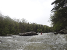
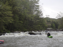
- Second Rapid (III). This rapid has a hazard at low flows (like 600-800 cfs) which is located in the right channel and consists of a ramp to a pin spot. At higher flows we boated directly over it. The left side is wide open. You know you are at this rapid because there is a building sized rock that the river goes to the left of. The hazard is upstream of it.
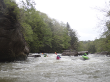
- Two Channels (II+ to III-). There are a lot of inbetween rapids with multiple channels. I never saw a case where the largest two were not ok to run.
There are some really cool rocks, one in particular stuck out over the river some 40 feet and was entirely a river level undercut. Pretty cool. Give it some space though!
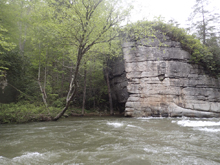
- The Straightaway (III to III+). You start to approach an old bridge site (or something man-made) and you will want to give the first ledge some space around on the left. There is actually a really sticky pocket in the drop that found one of our group. From there, move back right to avoid the left wall and then run straight down either side of the straightaway below. Some fun splashy waves take you the next 100 yards.
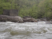
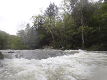
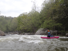
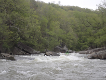
- The Biggest (III to IV-). This is the biggest and fluffiest rapid on the run for sure. Reminded me so much of Chili Bar on the South Fork of the American. Just nice fluffy class III. We ran straight down the center. The challenge is that there are entrance hydraulics and a hole at the bottom that is flushy but certainly enough to flip you. You want to be maybe 10 feet off of the right shore, any closer and you will find a pocket forming off the wall. But that allows for the easiest passage through the rest of the holes.
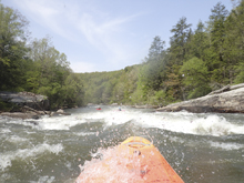
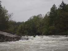
- Rock with a Tree (III-). When you see a really cool rock standing in the middle of the river with a tree on it, go down the main left channel. If you have over 1,200 cfs the right side also goes, but it is rock and just not great. The left side is straight forward boogie. This rapid continues for a good ways, not big at anytime, but some fun moves to make, fun eddies to catch, all sorts of different lines etc. This basically continues for the next 0.5 miles to where it begins to wind down.
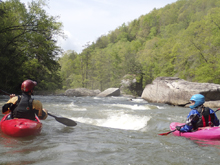
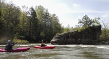
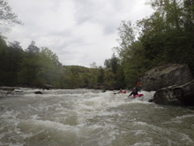
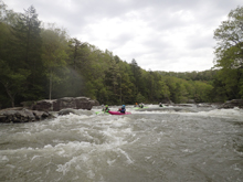
- Side Channel (III- to III). The left channel is just a regular old riffle with regular old scenery. However the right side drops into a channel that looks like a canyon with the rock formations that form it. One of the prettier spots on the river for sure.
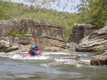
- F'd Up Rock (II+). So, this rapid wasn't hard or anything... but the left half of the river went into an undercut with a very large and ominous looking swirl on its bow wave, and to make matters worse, there was all sorts of wood tangled in it and blocking the channel to the left of it. So, just give it room and go to the right of it.
Below, boogie leads to take-out.
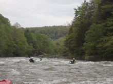
For more details on the run, see the AW write-up...
Take-out: 11.9 miles north on US19 of Fayetteville, you will cross the Meadow River. Take a U-turn at the turn just past the bridge. Park on the shoulder of the freeway just before the bridge.
Put-in: How you get turned around to head the opposite way is up to you... there is a spot for an illegal U-turn just before the bridge. Or you have to go 3 miles to the first legal spot to turn around. Go towards Summersville 1.4 miles on US-19 before turning right onto Mt Lookout Rd. Follow this for 2.1 miles to a sharp right turn onto WV-41. Follow this for 4.4 miles to the bridge. Park just past the Post Office on the left.
HTML Comment Box is loading comments...
