Mammys Creek
| Stretch: | US 70 to US 27 |
| Difficulty: | Class II+ to III (IV) |
| Distance: | 5.6 miles on Mammy's, 1.3 miles on Piney Creek, and 2.65 miles on Whites Creek |
| Flows: | Look for Whites Creek to be 2.5' to 4.0' (visual only) |
| Gradient: | 80 fpm average (105 fpm from mile 3.9 to 5.6) on Mammy's. 34 fpm after. |
| Put-in: | Access along US 70 |
| Take-out: | Access under US-27 |
| Shuttle: | 10.2 miles, (15 minutes one-way) |
| Season: | Winter and Spring from rain |
| Written: | © 2019 |
Well the first day of the mammoth rain that hit Tennessee in mid February 2019 actually was on Monday... but I had to work that day. But come the second dose, Tuesday night, I was able to get out with Kirk and his son Alex for some adventuring. Our first stop of the day was Clifty Creek which flows into the Emory near Harriman. I had done that creek before, and it is stunning in scenery and fun in whitewater, so the day started well.
After that first run, we headed over to Mammy's which flows into Tiny Piney (Piney Creek) and then into Whites Creek. We had opted to not start the day here for fear of a flash flood when the rain arrived. However, the rain had dissipated so we took the chance. I am glad we did, as the rain did not begin to hit until we got to take-out after our run, at which time we went of waterfall hunting for flashed micro creeks.
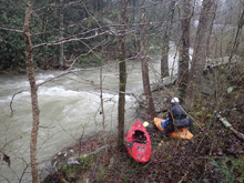
Mammy's starts off class II and road side before the river turns away. Wood is a major hazard on this run so stay on your toes throughout. I had expected the creek to be a little prettier honestly, it isn't that it was pretty, it just wasn't walled like I expected. Though, nothing in the Whites Creek drainage is so I am not sure why I expected something else. Instead, it was mostly just a stream bed, not in a gorge, which thick Rhodo on either bank throughout. A little over halfway down Mammy's proper, the rapids pick up into what I would call class III- and III affairs. The nature was typically boulder gardens though there was a small amount of bedrock thrown in for good measure. Right near the end, is the biggest rapid, which is a long bedrock slide not to be confused with the bedrock slide early on into the tougher section. Overall, I know that this run is normally rated class II, perhaps at low flow it is, but for our flow which seemed like a nice medium flow, I would call it II-III and would caution class II boaters to not venture in as a roll and dealing with rocks are must have skills.
Anyways, we had about 2.0 inches of rain in the previous 24 hrs, and the area was well primed. Typically, look for Whites Creek to be over 3.0' at take-out. It was 3.5' when we set our car and 3.0' when we returned. This run is worth doing for sure, especially if that difficulty is what you are looking for. For me, I am sure I will return, but it just didn't hold enough good whitewater or good scenery for me to be excited for another run... like I am with Clifty.
Mi 0.0:
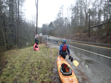
- Boogie (Class I to II-). The first bit is mellow enough boogie. The road stays nearby in case you have second thoughts.
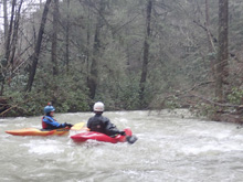
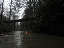
- Road Pulls Away (II-). There are a couple of woody rapids after the road pulls away. Stay on your toes.
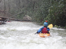
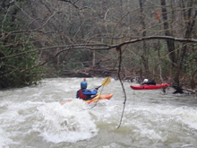
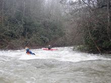
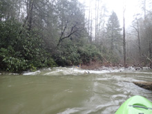
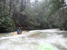
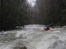
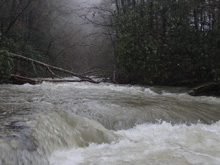
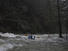
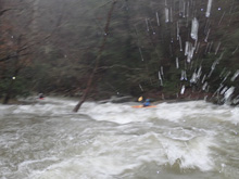
- Picks Up (II+ to III). On a right bend you get to a noticeably bigger rapid. We ran down left of center throughout, it was read and run but involved a little bit of whole punching and rock dodging.
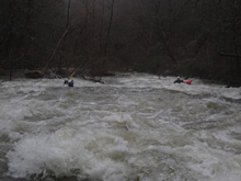
- First Bedrock Drop (III). Scout on the right for the first bedrock drop. This drop had a low angle slide to a vertical drop. The cleanest line was just right of center, following the bulk of the water. Further right was clean but had a hole, further left had a nasty slot. Far left was also an option for higher flows.
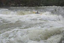
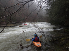
Boogie (II+ to III-). Boogie in general below here was harder than prior mile 3.9.
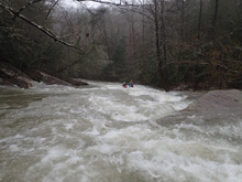
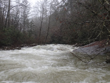
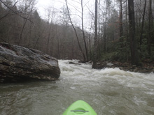
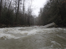
- S-Turn (III). Not far below, the river entered a rocky channel on the left that then zagged right to left with some soft holes to punch.
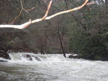
Boogie (II+ to III-). A few more nice size boogie rapids.
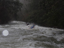
- Second Bedrock Drop (IV- to IV). This is the biggest rapid of the run. It is a long slide with a few holes to punch leading into the final step which is steep and best run left of center.
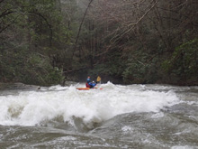
- Piney Creek confluence doubles the water. Water feels much bigger very quickly. Some excellent surf awaits downstream.
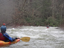
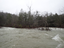
- Fall Creek confluence adds more water, you for sure now have big water.
- Whites Creek confluence , you are now on proper big water.
- Surf City (III). A big water surfing paradise is downstream. At every flow I have seen it at there are various different surf waves to hit.
Take-out: From highway 40, take highway 27 South through Cardiff towards Spring City. After 12.8 miles look for a small frontage road on your right, just before you cross the river. This will lead you to parking under the bridge.
Put-in: Go back out to highway 27, you can either illegally try to turn left or go down to the right to turn around. We did the illegal turn. Follow US-27 north for 4.4 miles before turning left onto US-70. Continue on US-70 for 5.8 miles. Look for a turnout on the left. We parked there and walked steeply 20 ft down to the river.
HTML Comment Box is loading comments...
