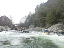
Mad River (Moretown Gorge)
| Stretch: | Moretown Gorge |
| Difficulty: | Class III |
| Distance: | 0.8 miles |
| Flows: | 300 to ~2,000 cfs. USGS Mad River in Moretown gauge |
| Gradient: | 37.5 fpm average |
| Put-in: | Cemetery south of Moretown |
| Take-out: | Access near Gravel Pit in Moretown |
| Shuttle: | 0.8 miles, (2 minutes one-way) |
| Season: | Spring of snowmelt, summer and fall off of rain |
| Written: | © 2021 |
-
North East Road Trip 2021: Day 9 Midday
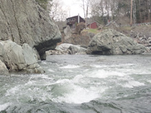
Not much to say about this run as it is short, and was more or less just something to do because we were there, had time, and not options. This is basically two sets of rapids the first being a gorge drop with squirly water that would become dangerous at high flow and a lower drop with two back to back ledge holes, that I can also imagine get bad at some flows. Luckily you can scout both easily from the main road for the upper, and a smaller road in town for the lower.
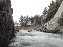
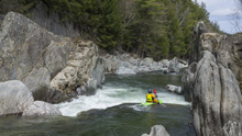
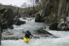
The second "gorge" had some unique rock formations which I thought were special and made the trip feel worth while. It only took 15 minutes or so to run the gorge, access was easy, and was just upstream from the Lower by a few miles, so all told I thought it was a worthwhile novelty. I would say our 300 cfs was on the low side, but I think 1,000 cfs might be too high in here for the class III/IV scene... but that is just me supposing.
Mi 0.05:
- Gorge #1 Entrance (III). The first gorge is very tight and constricted and even at our low flow was squirrely. It had two small holes stacked up, we just ran down the middle and boofed them.
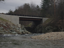
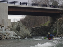
- Gorge #1 Exit (II+ to III-). With more flow this one would not be a problem. At low flow it was rocky. We went down a small channel on the right which was mostly straight forward to minimize rock impacts. The center looked too congested and sieve potential as I recall which is why we did not go that way.
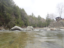
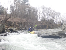
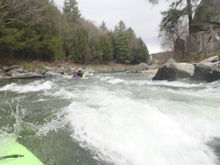
- Gorge #2 Ledge #1 (II+ to III). This ledge and the next one would just blend into one at higher flows. It was straight forward for anyone who knows how to keep their boat straight and take a stroke. But I could see it being a low head dam sort of feature if not so take care. These two ledges are the reason we took Beth on the Lower but not here, less forgiving for sure. Anyways, the line was left of center boofing off the left side of the midstream rock.
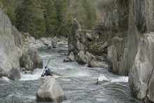
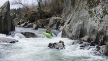
Gorge #2 Ledge #2 (II+ to III). This looks like a bit of a horizon as you approach. Down the right is a mellow slide to a one foot ledge that is fine. On the left is more of a pocket.
Take-out: In Moretown, 0.1 miles north of Wimble's Rd is the fire department on your left and a gravel yard thing on the left. Between a house and the gravel yard is a dirt road with a gate. This is a legal access, looks private but isn't, it is public and legal. The gate was left open when we did it.
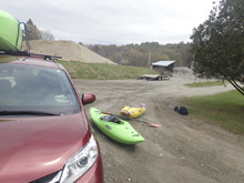
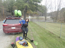
Put-in: Turn right to head south on VT-100B, the first right you come to can be used to scout the lower gorge (Fletcher Rd). But continue on VT-100B for a total of 0.8 miles. Cross the river (scout the first gorge). Just after the bridge, there was a cemetery on the left. We u-turned and used the pull out just past the cemetery to put on.
HTML Comment Box is loading comments...

