Middle Fork of the Tule
| Stretch: | South/North Confluence to Lumbeau Picnic Area (or Optionally 0.4 miles upstream at Coffee Camp Area) |
| Difficulty: | Class V |
| Distance: | 2.8 or 2.4 miles |
| Flows: | 100? to 450 cfs In Springville (I have heard of 100 cfs flows being run and been told there was less portaging, but I don't know for sure). Current Dreamflows gauge |
| Gradient: | 273 fpm |
| Put-in: | South/North Middle Forks Confluence |
| Take-out: | Lumbeau Picnic Area (or Optionally 0.4 miles upstream at Coffee Camp Area) |
| Shuttle: | 3 miles (5 minutes one-way) . |
| Season: | Winter from rain, Spring from snowmelt |
| Written: | © 2010 |
| Featured in Video Twenty-Eight and Andrew Pernicano's Video | |
A few years ago David Maurier ran this run and in his write-up discussed whether the beta stating it is class V+, class V or mostly class IV-V was accurate. Although I do not believe he offered any opinion on the situation, he did state that it was like Hospital Rock, though maybe more technical. Well that was that, I guess I would never do this run. A few years have gone by since I first read that, since then I have done harder runs, gotten on most of Hospital Rock, and have learned how to quite my little voice in my head that is usually tells me how bad of an idea something is, the same little voice that has kept me at a class IV-V range for the past 6 years. Well anyways, after a run down the Lower North Fork Kaweah, as Chris Tulley, Ian Buckley and Diane Gaydos and I sit at the Riverview Bar and Restaurant in Three Rivers, Chris makes a proposal. Middle Tule. Ian and a bunch of our other friends had gotten on it a month earlier and loved it, none had specifically said that we would enjoy it, but Ian at this point was saying we would enjoy it and we (don't ask why, it is usually a bad idea) believed him.
As it turns out though, this river was a lot of fun. It was also challenging. I would say it was easily as hard as Hospital Rock, probably harder due to the quantity of rapids. Personally, I have never been on a river that just never let up like this one. For the entire length of the run it just dropped and dropped. Only during a few occasions did it ease up to class III-IV. Then 200 yards later, it would just start plummeting again. Though Ian had done the run a few weeks prior, due to their group having folks who knew it and thus minimally scouted, he didn't remember the lines and we scouted nearly every horizon line. We moved at a pace slower than 1 mile per two hours though we also took copious photos and video. The fewest portages any one member of our group made was somewhere near 5, with me leading the pack with 7.5 or so. That may sound like a lot for only having done 2.8 miles, but as Chris and I both discussed at take out, this river is the steepest feeling 273 fpm that we had ever experienced. It felt like it was in the 300+ fpm range for sure.
So to conclude, I think just about every rapid on this run is portagable, most with minimal effort. The only exception may be the Big Doubler, that one is perhaps walkable though it would be difficult I think. Luckily it isn't that hard, just big and intimidating. The road is also never all that far away, I think at any point you are not farther than a 20 minute scramble up the hill through poison oak to the road above if you need it. As a parting thought, I would put this on par with Upper Middle Cosumnes as far as difficulty, the difference being that while the UMC has 0.85 miles of really stout drops, this run has them the entire length of the run. No breaks, no mellow sections, just eddies to catch and a few small pools between horizon lines. I would want to make sure to be comfortable on class V before making a journey into this canyon as if class V stresses you out (and it does me a bit) it would make for an even longer day with more scouts and more portages. Oh, one final thing. We also decided to take out 0.3 miles before the end of the run at Coffee Camp (I think that was the name). We were all tired and were told that the remainder of the big drops would be likely portages for our group so we decided to walk out 100 feet to the camp just off the water.
I think I actually got pictures of nearly every rapid. So this is going to be overkill. Keep in mind, that though most of the rapids are just class IV+, they are all stacked on top of each other making it feel much harder and more significant. Also, thanks to Diane Gaydos and Ian Buckley for their contribution of a few photos from the day. Update 2019: Thanks to Gavin, Gabe, and Kyle for letting me use some pics from a day of theirs on the water as well!
Mi 0:
- Confluence (IV+). No warm up here. A small chute lands you into a good size hole that gave one in our group some early morning rodeo practice. We then entered center moving left down the ramp.


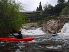
Shamu (V- to V). Straight forward enough, enter heading right, then try to stay off the wall and drop the 8 foot ledge into the hole below. Several went deep to which Chris said "you see me do a Shamu." Be aware that there is a sieve that some of the water flushes into a few feet downstream of the drop. Easy scout and walk on the right if so inclined.
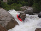
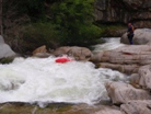
Easy Ledge (III+). An easy ledge with shallow landing.
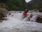
Wallstreet (IV+). On a hard left turn, boof the 4 foot drop and then head down any one of the doors below. We went far right and boofed over a large hole. Most will go just left of it down a small slide that I have seen referred to as Wallstreet.

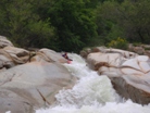
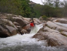
The Sieve (V). One of the more serious sieves that are in play. A fun 8 foot slide boof on the far right lands you in a short calm section before dropping over a double drop best run far left. The right side has a sieve under the large rock near the shore. From there, there are two more straight forward boofs to exit. Scout on the right.
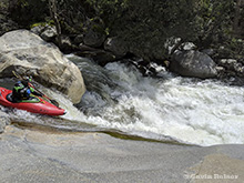
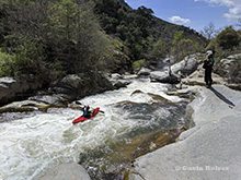

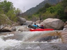
The Cave (?). It is hard to scout though and we walked easily on the right. I am not sure if this is run.
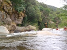

S-Turn (IV+). S-turn left and then back right (be careful of the hole, rodeos were had). Finish the drop on the far left after the initial turns.

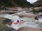
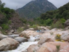
Oh So Sweet (IV). Just a big cool bedrock class IV. It is blind so you will probably get out on the right to scout to make sure it is mindlessly easy, and it is. The bottom hole has some teeth against the left wall so stay right.
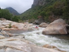
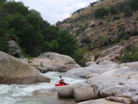
Does it Get Any Better? (IV+ to V-). A small boof leads to a large horizon. A fun ramp down the right then leads to a cascade over exploding water. This is one of the best rapids on the run!
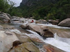
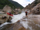

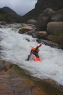
Undercut (V+). For most, you will portage left. A small drop leads to a slide that pushes almost all the water into the undercut wall on the left before dropping into a good size hole below.
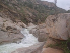
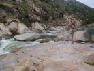
It Gets Less Clean (IV+). Fun boof, work to the other side of the river to avoid the sieves, then work back to avoid more sieves. Easy, but by far the least clean rapid yet.
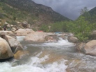
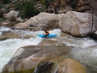

Starburst (V). I am not sure if the name is right, or if that name is downriver. Eitherway, this is one of the reasons to do the run. Drop the 4 foot ledge and head right, hitting the cushion forming off the wall and sieve combo, let it push you left down the 10 foot ramp to the pool below. It is a lot easier than it looks!
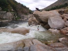

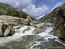
Small Undercut (IV). We portaged 5 feet around an undercut that we didn't feel like rolling off of.
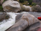
Curler (IV). A short but tricky rapid with a large curler in the center and a hole at the bottom. Just head down the center and the rest is done for you.
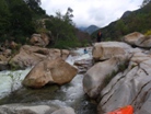
Boof (III). A sweet boof just downstream.
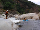

Where is the Undercut (V). A very large hole then leads to a split in the river. Both sides drop into large holes. The entire right side has a huge undercut as well, not to mention the boil 20 feet downriver that is boiling up 2 to 3 feet. We walked on the right.
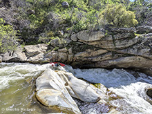
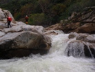
- Ledge #1 (IV-). A fun ledge with a pocket on the right for those who don't get center.

Ledge #2 (III+). Just a sweet double drop taken left to right.
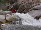
Ledge #3 (IV+). Drive hard left and land in the eddy. Then ferry across the thin line between the large hole and the large boil forming off the wall. This was the scene of one good ride.
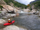
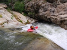
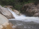
Ledge #4 (IV). A small ledge lands you into an undercut. Half ran with varying degrees of success, the other half walked easily on the right.
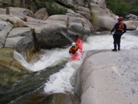
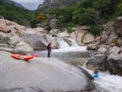
Sweet Double Lead-In (V or IV+). Enter down the ramp and either sneak it right or go big in the center. Worth scouting as it leads directly to the lip of a large drop. Scout right, you can portage this entry easily to just run the drop below.
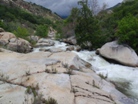
Sweet Double (V). A 8 foot ledge taken down the center lands you onto some rocks and shoots you down a ramp towards a large pour over hole. Boof this hole or be prepared to swim. This rapid is scouted on the right and may be difficult to portage. But it is so much fun why would you want to portage?

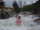
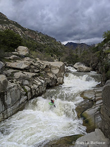
Junkier But Fun (IV+). An airplane turn into two good size holes. There was a fun moment shared as I look down as I come around the turn only to see my friend in the landing zone, spending quality time with the hole. Luckily he worked his way out just as I boofed in.
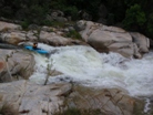
Looks Clean But... (V). This looks like it should be one of the best drops on the run, two steep slides. However, apparently there is something wicked the second one. I think the wall below which is only a foot out of water is badly undercut or something. Very good local boaters walk it and others have been roped out to safety. Looks easy though. Easy enough walk on either side.
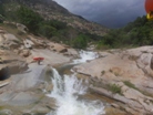
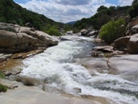
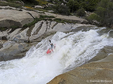
Sieve Portage #1 (U). A class IV lead in ends in a sieve portage. There are a few eddies that are small on the right to catch. Not the place to trip on a rock for sure. Portage Right.
Fun boof (III). Just a small boof.
Spout (V). We didn't fully realize that the 15-20 foot drop exiting the left pool was so good to go. The right side is all sieved out. The portage on the right sucked requiring team work. If we had eddy hoped one eddy further down the left we would have seen the spout before we were done with the portage.
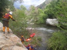
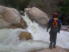
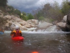
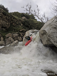
Two High Stress Holes (V-). It is just two holes, but just downstream the river goes into a bunch of sieves. You want to dog leg left to right into the holes. The current then pushes immediately into the next drop. We eddied out on the right, then performed a high stress ferry to the left.
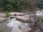
High Stress Ferry (V). You know Hairy Ferry on 49 to Bridgeport? This is hairier. Once to the eddy on the left we just ran the 6 foot boof into the eddy on the left below, then worked across the river making sure to avoid the sieves on the right wall.
Quadruple Drop (V). Four large holes. The biggest of which is #2, unless you are center on number 3, then I bet you would think that one was large. Scout left.
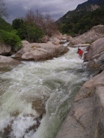
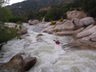
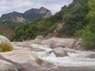
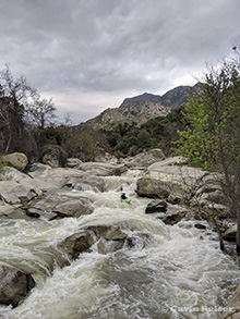
Flake (IV+). Down the right channel, hit the flake landing into the shallow slot below dropping down the final ledge to the pool below. This is the upper take-out.


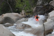
I didn't run the last 0.4 miles but have been told there is 1 mandatory portage, 1 rarely run, and a burly drop or two in there. We were ready to be done. Some 5 hours on the water for 2.4 miles. Once you know the lines it would all go so much quicker.
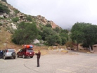
Take-out: From Springville continue on Highway 190, cross over the North Fork and continue following the river to Lumbeau Picnic Area. This is take-out and costs $10 to leave a car there. Our day there was a ranger parked there collecting the whole day although we were the only car there due to the snow flurries and all. The 0.3 mile higher camp's gate was closed our day, so when we took off early we walked the 5 minutes to Lumbeau from our take-out location to fetch our car.
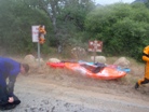
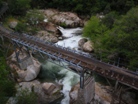
Put-in: Continue traveling up Highway 190, you will some nice views of the river, most of which just happen to be the easiest parts. Continue until you see the powerhouse. There is a nice turn-out just downriver of the bridge. There is a small trail leading under the bridge and down to the flume, go under the flume and drop to the water just above the confluence rapid.


HTML Comment Box is loading comments...
