Middle Prong of the Pigeon (Hike-Up Ramsey's)
| Stretch: | Above the Ramsey's Trailhead |
| Difficulty: | Class V to V+ |
| Distance: | 1.4 miles |
| Flows: | No gauge (Greenbrier bridge gauge at ~2.25' to ~3.5'). Look for >1,600 cfs on American Whitewater's gauge. |
| Gradient: | 401 fpm average |
| Put-in: | At the confluence of Buck Fork and Ramsey Prong |
| Take-out: | Ramsey Cascades Trailhead |
| Shuttle: | 1.4 miles of hiking... steeply uphill. (~35-55 minutes) |
| Season: | Winter and Spring, rain (and occasionally off of thunderstorms) |
| Written: | © 2015 |
| Featured in A Wet State #109 | |
As Christmas wound down, a storm rolled through the Midwest causing havoc to be wrecked upon flights all over the nation just in time for all of the holiday travelers to have canceled flights keeping them from their homes... and for me, from the water that was flowing plentifully out of the sky throughout the South East. As I tried to keep my attitude in check, and swearing to a minimum I worked with the agent in Sacramento find a new path home... not one that would get me home 2 days later, therefor missing two more days of boating, but that day. Or worst case, the following day. As Diane's solution was an overnight stay in Houston... I rented a car and drove to San Francisco to catch a red eye to Charlotte which would get me home mid-morning the following day. One day lost to kayaking, but I guess it could have been worse!
Eager to get new runs, as I called John Trembley to make plans I suggested rather than heading to the West Prong (also perhaps because I hadn't boated in a month and the last time I boated I didn't feel particularly strong), that we head to the Ramsey Sections. Upon arriving, doubt started to creep into my mind. In trading for a top to bottom West Prong, I signed up for a Top to Bottom Ramsey Prong. Easy over all from a mileage stand point, but arguably harder from a peak standpoint. With a little encouragement from John we began hiking up with our new friend Tyler.
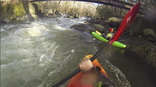
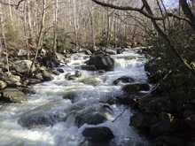
Getting on the water we felt the water was a healthy flow but not high by any means. Sorta an ideal medium flow... though medium is also ideal because lower flows are not as friendly on this run as they are on West Prong. The steep boulder rapids are formed in channels that have shifted to either side of large islands every few thousand years. This has caused for a less channelized, less clean boulder garden that requires a certain pad to make it enjoyable. To add to the challenge, thanks to last year's ice storms, the river was chalked full of wood. Nearly every rapid had wood in it. We portaged 3 times due to wood, and when a river is only 1.4 miles long, that will account for a lot of the mileage.
I also feel that the river was challenging. Every bit as hard as the West Prong. I think due to the wood situation and the higher flow that I had here compared to my current experiences on the West Prong, I would rate this run harder. But with that said, I don't feel any rapid was as hard as Dinosaur on the Upper West Prong. And for that matter, probably nothing as hard as Room Without a View from the Lower either. I think I wouldn't want to be in here at high flow just due to the non-relenting nature of the river. It does not ease, it does not pool, though it does push directly into wood or into dangerous rapids so rolling is not overly ideal and swimming is of course strongly discouraged.
All of that, coupled with the fact that you hike in makes me think I probably won't be rushing back to the run. I walked away with the same feeling as I had after West Prong runs... but those don't require a hike. And I am lazy... so in my book, West Prong wins!
For reference, we had 2.7/2.8 on the gauge at the Greenbrier take-out. This doesn't always correlate to upstream flow since sometimes more than half of the water can come from Porters Creek while other times it can be much less than half. I have heard of people running it at 2.7 and 3.3 and said 2.7 was the higher water day on the Hike-up. So, take a look at the last boof at the bridge, and see how it looks to you!
Mi 0.0:
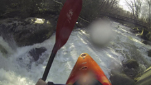
- Super Boof (IV+ to V-). The very first rapid below put-in starts the adrenaline pumping. We hugged the left side of the island before working left for a 10 foot ramp into a splashy hole which then quick leads to a 4 foot poor over with a sticky hole. Keep your nose up! Below is one of the best boofs around. Run down the center and ride the ridge of rock boofing off to the left! So, so good.
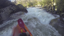
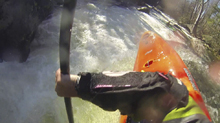
- First Island (IV+). Just downstream a rapid or two the river split. The left side seemed like the main channel but was blocked by wood. We went down the right channel and ran a few small creeky lines before having to hit the shore due to wood there too. We walked 15 feet to the end of the island and slid back in.
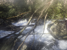
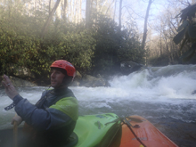
Bombs Away (V). That isn't an official name... but we eddied out in here on another island drop where the river had split. We got a thumbs up from Tyler that the left went and we dropped in. This ended up being one of the large sections of the river. Several off center and off angle holes led to a steep cascade. We started right and worked left. I nearly flipped at the top, that would have hurt!
- The First Big One (V). And thanks to wood in the runout... we walked again. This rapid has a cool launch to a narrow slot which then settles down before hitting the runout down the left. That is where the log was... but the main move pushed too hard for our taste to catch the eddy in the middle. Instead, we lowered boats down below the main move, and slid in taking the unknown out of catching the eddy in front of the tree. We then exited in the mankier right channel.
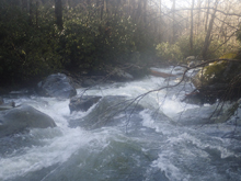
- Island Rapid (IV+ to V). I didn't think this rapid was hard, just consequential. The river splits around a large midstream rock. Scout from the mid river rock. The line is to boof fairly far right and land coming back center away from the pocket. The left side of the line had a log in it necessitating that you get far enough right!
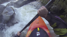
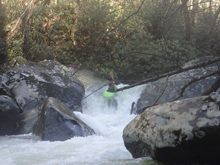
The Flume (IV+ to V). Just downstream 1 rapid is this large horizon line. It is a sloping drop with a sticky hole on the right. You want to be moving right to left and get your nose up.
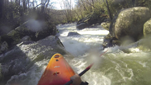
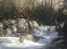
- Death Sieve (V+). After just a few boogie rapids, you round a corner to the right and be prepared to eddy out on the left. I eddied out higher as to be sure to make it. You can scout from the middle rock. There is a line. Several people have run it on purpose as well as on accident by blowing past the eddy. However there is also often wood in the one good spot... as was the case the day I ran it. Instead, from the eddy on the left at the lip, exit via the small chute and drop into the eddy below using the friendly reconnect of rock.
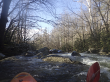
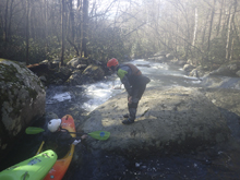
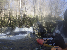
You Gonna Like it (V). Just below Death Sieve was this drop which was chalked full of wood, we walked on the right down to the bottom of the small side channel. Here, we took a snack break and John seemed to indicate that the Bridge was just below... we all relaxed, ate some food. He was wrong.
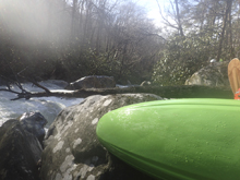
- Toby's Tumble (V). The entrance is super junky and is not easy to stay right on. But you want to be right to ride the ramp down to the hole at the bottom of the junky cascade. Then, just below is a tall broken ledge that can best be run far left. One in our group dropped in on accident blindly giving the others of us a solid scare. We all opted to walk this one on the right.
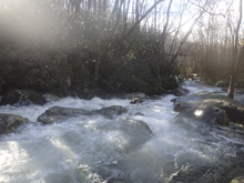
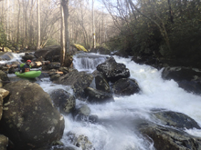
Big Monster (V). The final rapid above the Bridge Boof, this one is not commonly run. It is big and nasty and super steep. We again walked on the right down to the end of the island were we seal launched in for the final boof.
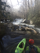
- Bridge Boof (IV+). A great boof to end the run with. Enter center and boof the right side of the middle ledge. It is obvious from the bridge before hiking up. So good.
Take-out: From Gatlinburg, take US-321 East for 6.0 miles, just before the bridge over the Middle Prong, turn right on Greenbrier Rd. Continue up to the confluence of Porter's Creek and the Middle Prong of the Little Pigeon. Cross Porter's Creek and continue another 1.7 miles. You will cross the river twice on the way up. Continue to the parking area the end of the road. Park here.
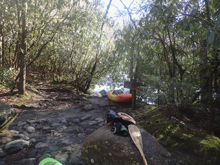
Put-in: The trail starts at the end of the parking area. Cross the footbridge and start working your way up the mountain!
HTML Comment Box is loading comments...
